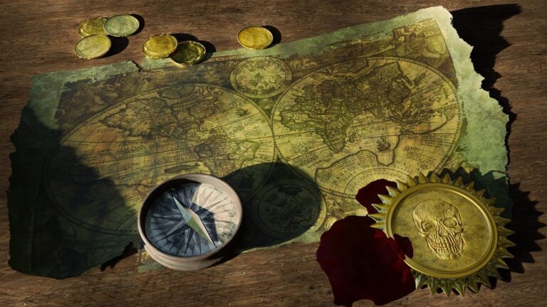
5 Best Digital Navigation Trends
Maps aren’t just navigation tools anymoreâthey’re becoming powerful visual storytelling platforms that shape how you understand and interact with the world around you. Digital mapping technology is evolving rapidly with AI-powered design systems and immersive visualization techniques that’ll transform everything from your daily commute app to complex data presentations. The aesthetic revolution in cartography means you’ll soon experience maps that adapt to your preferences, respond to real-time conditions, and present information in ways that feel more intuitive and visually compelling than ever before.
Disclosure: As an Amazon Associate, this site earns from qualifying purchases. Thank you!
Interactive Elements Will Transform Static Map Viewing
The days of passive map consumption are ending as interactive technologies revolutionize how users engage with cartographic content. You’ll soon experience maps that respond to your touch, voice, and real-time environmental changes.
Real-Time Data Integration
Real-time data streams will make your maps living documents that update continuously. Weather patterns, traffic conditions, and demographic shifts now integrate seamlessly through APIs like OpenWeatherMap and Google Traffic. You’ll see property values fluctuate on real estate maps, crowd density shift on transit maps, and emergency alerts appear instantly on safety maps. Modern mapping platforms like Mapbox and ArcGIS Online process millions of data points per second, ensuring your visualizations reflect current conditions rather than static snapshots.
P.S. check out Udemy’s GIS, Mapping & Remote Sensing courses on sale here…
Touch and Gesture Controls
Multi-touch interfaces will replace traditional pan-and-zoom navigation with intuitive gesture commands. You’ll pinch to zoom, swipe to rotate 3D terrain models, and tap-and-hold to access contextual information layers. Advanced gesture recognition systems detect pressure sensitivity, allowing you to adjust data transparency by varying touch intensity. Touch-enabled vector tiles respond to finger movements with sub-millisecond precision, creating fluid interactions that feel natural. Professional mapping applications now support up to 10 simultaneous touch points for collaborative map editing sessions.
Voice-Activated Navigation
Voice commands will eliminate the need for manual map interaction during navigation and analysis. You’ll speak location names, request layer toggles, and ask for spatial measurements without touching your device. Natural language processing engines like Google’s Speech-to-Text API interpret complex cartographic queries such as “show me population density within 5 miles of downtown Portland.” Voice-activated GIS systems recognize over 50 mapping commands in multiple languages, enabling hands-free operation during fieldwork. Advanced systems differentiate between user voices in team environments, maintaining personalized map preferences and access permissions.
Augmented Reality Will Merge Digital Maps With Physical Environments
AR technology will transform how you interact with spatial information by seamlessly blending digital map data with your physical surroundings. This revolutionary approach creates contextual mapping experiences that respond to your exact location and viewing angle.
AR Overlays on Mobile Devices
Your smartphone‘s camera will serve as a window to enhanced reality where digital map elements appear directly on your physical environment. Modern AR frameworks like ARKit and ARCore already enable apps to recognize surfaces, track movement, and anchor virtual objects with centimeter-level precision. You’ll see street names floating above actual roads, building information appearing when you point your device at structures, and navigation arrows projected onto sidewalks. Popular apps like Google Live View demonstrate this technology by overlaying directional indicators onto your camera feed during walking navigation.
Experience vivid content on the Galaxy A16 5G's 6.7" display and capture stunning photos with its triple-lens camera. Enjoy peace of mind with a durable design, six years of updates, and Super Fast Charging.

Smart Glasses Integration
Enjoy music and calls on the go with these smart sunglasses featuring open-ear Bluetooth speakers and voice control. Polarized lenses provide UV400 protection, while the lightweight, unisex design ensures comfortable wear.

Smart glasses will eliminate the need to look down at your phone for mapping information by projecting data directly into your field of view. Devices like Microsoft HoloLens 2 and emerging consumer AR glasses create persistent visual overlays that move naturally with your head movements. You’ll access turn-by-turn directions, poi information, and spatial annotations without breaking your visual connection to the environment. These systems use advanced SLAM algorithms to maintain accurate registration between digital content and physical landmarks even as you move through complex spaces.
Experience immersive VR and XR with the lightweight HTC Vive XR Elite. Enjoy crisp visuals with adjustable lenses and connect to your PC for high-fidelity gaming.

Location-Based Information Display
Context-aware information systems will automatically surface relevant data based on your precise location and viewing direction. GPS coordinates combined with compass headings and visual recognition enable maps to display business hours when you look at storefronts, historical information at landmarks, and real-time transit schedules at bus stops. Modern AR platforms process multiple data streams including accelerometer readings, magnetometer inputs, and computer vision analysis to ensure information appears exactly where it belongs in your environment.
Measure magnetic field strength and polarity with the AEG-8103 Gauss Meter. This rechargeable device features data logging, alarms, and specialized modes for efficient industrial testing.

Personalization Algorithms Will Create Custom Visual Experiences
Machine learning algorithms will analyze your mapping behaviors to deliver tailored visual experiences that adapt to your specific needs and preferences.
User Preference Learning
Pattern recognition systems will track your map interactions to understand how you prefer to visualize spatial data. These algorithms analyze click patterns, zoom behaviors, and feature selections to build comprehensive user profiles. Advanced systems like Mapbox’s analytics engine monitor which map elements you interact with most frequently, adjusting visual hierarchies accordingly. Your preferred navigation routes, frequently searched locations, and viewing angles become data points that shape future map presentations.
Dynamic Color Schemes
Adaptive color palettes will automatically adjust based on your visual preferences and environmental conditions. Smart algorithms detect your device’s ambient light sensors and time-of-day usage patterns to optimize contrast and readability. Machine learning models analyze your past color scheme selections to predict optimal palettes for different mapping contexts. These systems consider factors like colorblindness accessibility, cultural color associations, and task-specific requirements to ensure maximum visual effectiveness for your mapping needs.
Contextual Information Filtering
Intelligent filtering systems will prioritize relevant map data based on your current activity and location context. These algorithms analyze your movement patterns, calendar appointments, and historical behavior to determine which map layers deserve prominence. Context-aware systems automatically hide irrelevant features while highlighting pertinent information like nearby restaurants during meal times or parking availability during commute hours. Advanced filtering reduces visual clutter by presenting only the most actionable spatial data for your immediate needs.
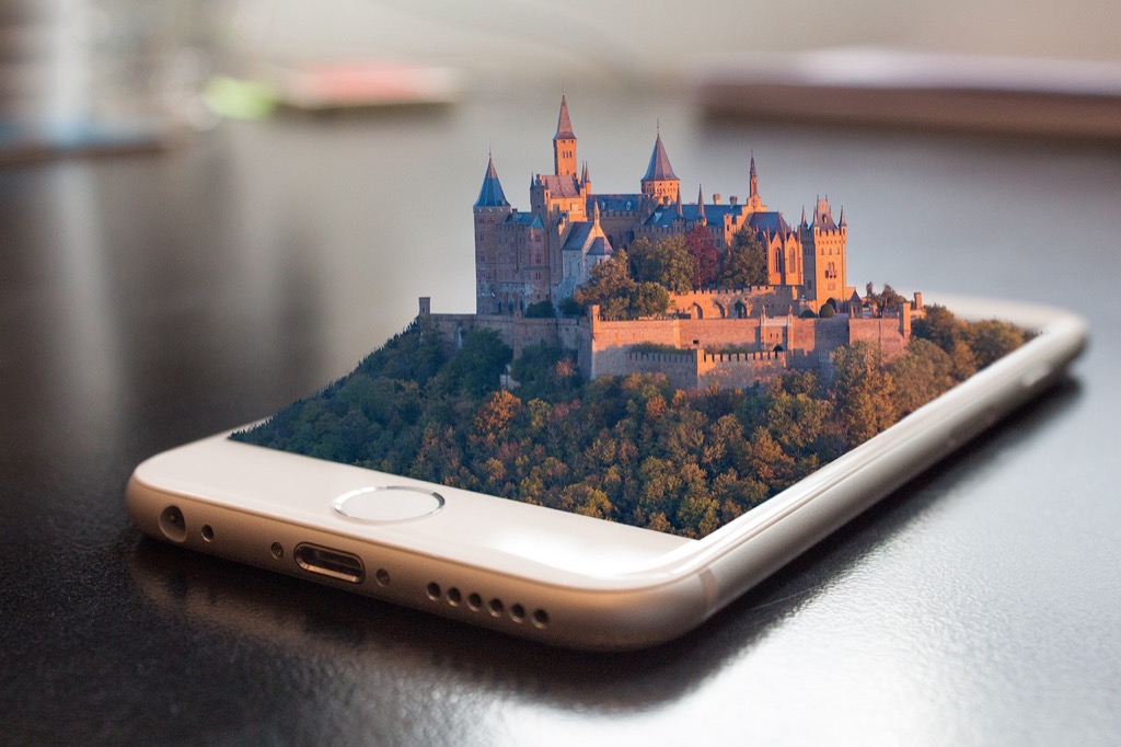
Three-Dimensional Visualization Will Replace Flat Map Designs
Three-dimensional mapping technology transforms how you visualize and interact with geographic information. Advanced rendering engines now process elevation data in real-time, creating immersive spatial experiences that traditional flat maps can’t match.
Topographic Detail Enhancement
Elevation models reveal terrain characteristics that flat contour lines obscure. Modern 3D rendering systems process LiDAR and satellite elevation data to display accurate surface relief, slope gradients, and watershed patterns. You’ll notice how mountain ridges, valley floors, and coastal features become immediately recognizable when displayed with proper vertical exaggeration. Digital elevation models (DEMs) with sub-meter resolution create precise topographic visualizations that help you understand landform relationships and geological features at multiple scales.
Building and Landmark Modeling
Architectural visualization brings urban environments to life through detailed 3D building models. Photogrammetry techniques capture building facades, rooflines, and structural details from aerial imagery, while procedural modeling generates accurate building heights and footprints. You can now navigate through city districts with realistic building representations that include distinctive architectural features, monuments, and infrastructure elements. These models integrate seamlessly with street-level imagery, creating comprehensive urban visualizations that support navigation, planning, and spatial analysis tasks.
Immersive Street-Level Views
Street-level visualization combines panoramic photography with 3D spatial positioning to create navigable ground-truth environments. Advanced image stitching algorithms process multiple camera angles to generate seamless 360-degree views at precise geographic coordinates. You’ll experience realistic pedestrian and vehicle perspectives that show actual conditions, signage, and environmental context. These immersive views integrate with overhead mapping data, allowing you to transition smoothly between aerial perspectives and ground-level exploration while maintaining spatial accuracy and visual continuity.
Sustainable Design Principles Will Influence Map Color Palettes
Environmental consciousness is reshaping map design as cartographers increasingly prioritize sustainability in their visual choices. This shift goes beyond aesthetics to address energy consumption and ecological awareness in mapping applications.
Explore and map the wilderness for the Queen in Cartographers! Draw unique terrain shapes and score points based on randomly selected goals each game, but beware of monster ambushes.

Eco-Friendly Visual Themes
Sustainable map themes will draw inspiration from natural color schemes that reduce environmental impact. You’ll see increased use of earth tones, forest greens, and ocean blues that reflect natural landscapes while requiring less energy to display on screens. These organic palettes create visual harmony with environmental data layers and promote ecological awareness. Nature-inspired color schemes also enhance user connection to geographic environments, making maps feel more integrated with the natural world they represent.
Energy-Efficient Display Options
Dark mode color palettes will become standard in mapping applications to reduce battery consumption on mobile devices. You’ll benefit from reduced eye strain during extended mapping sessions while conserving device power. OLED displays consume significantly less energy when displaying darker colors, making black backgrounds with minimal bright accents the preferred choice. These energy-conscious designs extend device battery life by up to 30% during navigation sessions, particularly valuable for field mapping applications.
Environmental Impact Indicators
Color-coded environmental impact layers will integrate directly into base map designs rather than appearing as separate overlays. You’ll see carbon footprint indicators, air quality zones, and renewable energy sources displayed through intuitive color systems. These visual elements help users make environmentally conscious decisions about transportation routes and destination choices. Real-time environmental data will influence map color intensity, with pollution levels affecting the saturation of urban area colors to provide immediate environmental awareness.
Conclusion
The future of map aesthetics promises a complete transformation of how you’ll navigate and understand your world. These five revolutionary changes will reshape your digital mapping experience from the ground up.
You’ll soon interact with maps that know your preferences adapt to your environment and respond to your every gesture. The shift toward immersive 3D visualization and AR integration will make traditional flat maps feel outdated.
As these technologies converge you’re entering an era where maps become intelligent visual companions. They’ll not only guide you to your destination but enhance your understanding of the spaces around you in ways previously unimaginable.
Frequently Asked Questions
What makes modern maps different from traditional navigation tools?
Modern maps have evolved from simple navigation aids to advanced visual storytelling platforms powered by AI and real-time data integration. Unlike traditional static maps, today’s digital maps offer personalized experiences, interactive features, and immersive visualization techniques that adapt to user preferences and current conditions.
How do real-time data updates improve map functionality?
Real-time data integration transforms maps into living documents that continuously update with current information like weather patterns, traffic conditions, and demographic changes. Platforms like Mapbox and ArcGIS Online process vast amounts of data to ensure visualizations reflect actual conditions, making maps more accurate and useful for decision-making.
What interactive features are available in modern mapping platforms?
Modern maps offer touch and gesture controls, multi-touch interfaces, advanced gesture recognition systems, and voice-activated navigation. These features enable intuitive interaction through natural movements and hands-free commands, allowing users to request information and perform tasks using conversational language rather than complex menu systems.
How does Augmented Reality enhance the mapping experience?
AR technology merges digital maps with physical environments by overlaying contextual information onto real-world views. Features like Google Live View provide directional indicators in real-time, while smart glasses project mapping data directly into users’ fields of view, enabling seamless navigation without looking down at devices.
What role does personalization play in modern map design?
Machine learning algorithms analyze user mapping behaviors to create tailored visual experiences. These systems track interactions to build comprehensive user profiles, adjust dynamic color schemes based on preferences and environmental conditions, and filter contextual information to prioritize relevant data while reducing visual clutter.
How do 3D visualizations improve geographic understanding?
Three-dimensional mapping transforms geographic visualization by processing elevation data in real-time using LiDAR and satellite information. This technology accurately displays terrain characteristics, creates detailed architectural models of urban environments, and combines panoramic photography with 3D spatial positioning for immersive street-level navigation experiences.
What sustainable design principles are being adopted in map aesthetics?
Modern cartographers are implementing eco-friendly visual themes using natural color palettes that reflect landscapes while minimizing energy consumption. Standard features now include dark mode options to reduce battery usage and color-coded environmental impact indicators integrated into base map designs to promote ecological awareness.
How do location-based information systems enhance user experience?
Location-based systems automatically display relevant data based on users’ precise locations, creating context-aware experiences that respond to exact positioning and viewing angles. This technology ensures users receive the most actionable spatial information relevant to their current activities and surroundings.