7 Best Cultural Mapping Strategies
Why it matters: Cultural mapping strategies that work in Manhattan won’t translate to rural Montana. Understanding these differences is crucial for organizations developing effective community engagement programs.
The big picture: Urban and rural communities require fundamentally different approaches to cultural mapping due to distinct population densities social structures and resource availability. While cities focus on managing diversity and density rural areas emphasize preserving traditions and connecting scattered communities.
What’s ahead: We’ll break down seven key strategic differences that determine whether your cultural mapping initiative succeeds or fails in different community settings.
Disclosure: As an Amazon Associate, this site earns from qualifying purchases. Thank you!
P.S. check out Udemy’s GIS, Mapping & Remote Sensing courses on sale here…
Understanding the Fundamental Approach to Cultural Mapping in Different Settings
Your mapping methodology shifts dramatically when you move between urban and rural environments. Each setting demands distinct data collection techniques, visualization approaches, and stakeholder engagement strategies.
Defining Urban Cultural Mapping Strategies
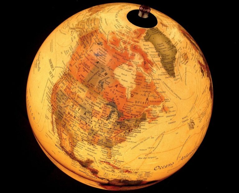
Urban cultural mapping targets dense populations and diverse communities through digital platforms and centralized data hubs. You’ll implement multi-layered mapping systems that capture neighborhood-specific cultural assets like galleries, performance venues, and community centers. Your approach emphasizes real-time data collection using mobile applications and crowdsourcing platforms. Scalability becomes crucial as you manage thousands of cultural touchpoints across districts. You’ll utilize heat maps and cluster analysis to identify cultural hotspots and track demographic patterns across zip codes.
Defining Rural Cultural Mapping Strategies
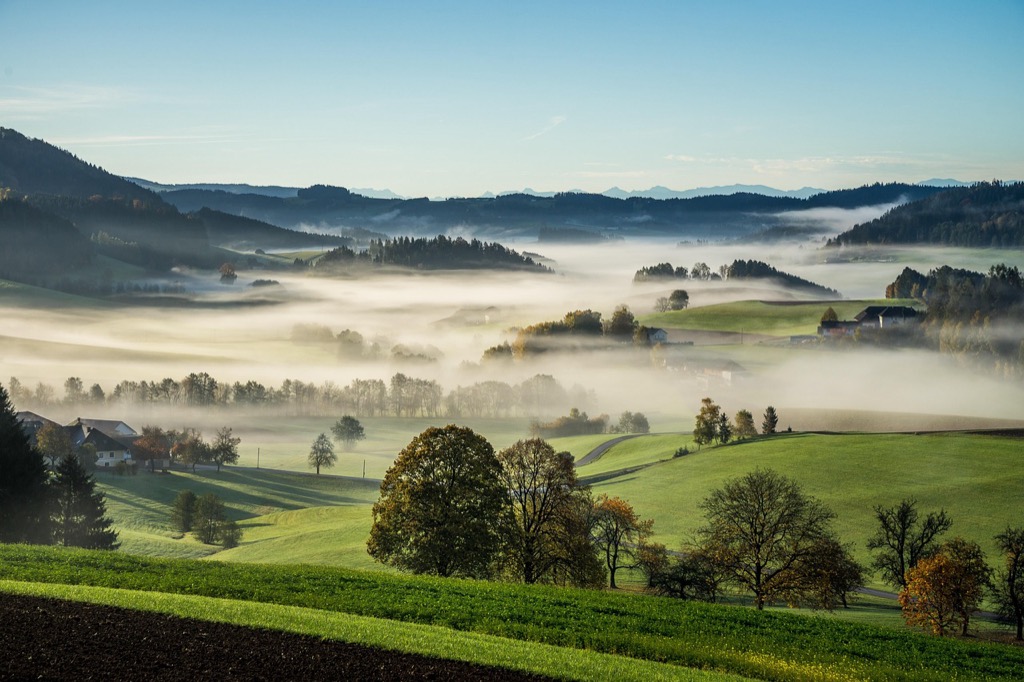
Rural cultural mapping prioritizes relationship-building and grassroots documentation across dispersed communities. You’ll employ face-to-face interviews and community workshops to gather cultural knowledge from local historians and tradition keepers. Your methodology focuses on oral histories, traditional practices, and generational knowledge transfer systems. Trust-building proves essential as you work with smaller populations who may be skeptical of outside documentation efforts. You’ll create detailed heritage trail maps and utilize GPS coordinates to document remote cultural sites, barns, and historic landmarks.
Identifying Stakeholder Engagement Methods Across Urban and Rural Communities
Stakeholder engagement approaches differ significantly between urban and rural cultural mapping projects, requiring distinct strategies to build meaningful community partnerships.
Urban Stakeholder Networks and Participation Models
Urban stakeholder engagement leverages digital platforms and formal networks to reach diverse populations efficiently. You’ll find success using online surveys, social media campaigns, and interactive mapping portals that allow residents to contribute cultural data remotely. Municipal arts councils, neighborhood associations, and cultural organizations serve as key intermediaries connecting you to specific communities. Digital town halls and virtual focus groups enable participation across language barriers and work schedules, while QR codes on street installations can direct passersby to mapping contributions platforms.
Rural Community Leaders and Traditional Engagement Practices
Rural engagement requires building personal relationships through established community hierarchies and informal networks. You’ll need to connect with local historians, church leaders, and longtime residents who serve as cultural gatekeepers and trust-builders within tight-knit communities. Face-to-face meetings at community centers, libraries, and local events prove more effective than digital outreach. Traditional methods like door-to-door interviews, kitchen table conversations, and participation in local festivals create authentic connections. Rural stakeholders often prefer phone calls over emails and value personal introductions from respected community members before sharing cultural knowledge.
Analyzing Data Collection Techniques for Urban Versus Rural Cultural Assets
Data collection methods vary dramatically between urban and rural cultural mapping projects, requiring distinct technical approaches and tools. Your choice of collection technique directly impacts the accuracy and completeness of your cultural asset inventory.
Digital Mapping Tools and Technology Access in Cities
Digital platforms dominate urban cultural data collection through robust internet infrastructure and tech-savvy populations. You’ll leverage GIS software like ArcGIS Online and QGIS to process real-time data streams from mobile applications, social media APIs, and crowdsourcing platforms. Cloud-based mapping services enable simultaneous data entry from multiple field teams, while automated geocoding systems accurately place cultural assets within dense urban grids. High-speed connectivity supports live data visualization and immediate quality control validation.
Traditional Survey Methods and In-Person Documentation in Rural Areas
Face-to-face interviews and paper-based documentation remain essential in rural cultural mapping due to limited connectivity and community preferences. You’ll conduct structured surveys during community gatherings, church events, and local festivals where cultural knowledge holders naturally congregate. GPS units with offline capabilities capture coordinates for remote cultural sites, while digital cameras document artifacts and locations for later analysis. Traditional field notebooks preserve detailed observations that complement formal survey responses, ensuring cultural context isn’t lost during data digitization processes.
Stay connected anywhere with this compact satellite communicator. Enjoy two-way messaging, interactive SOS, and TracBack routing for confident navigation. Battery lasts up to 14 days in tracking mode.

Examining Resource Allocation and Funding Strategies for Cultural Projects
You’ll discover that funding approaches for cultural mapping projects vary dramatically between urban and rural environments. These differences reflect distinct economic structures, institutional frameworks, and community priorities that shape how you secure and distribute resources.
Urban Grant Competition and Corporate Sponsorship Models
You’ll find urban cultural mapping projects rely heavily on competitive grant processes and corporate partnerships. Major foundations like Ford Foundation and Knight Foundation typically fund urban initiatives through rigorous application processes that demand detailed project proposals, measurable outcomes, and professional grant-writing expertise. Corporate sponsors including tech companies, banks, and real estate developers often provide substantial funding for high-visibility urban cultural projects that align with their brand positioning and community investment goals.
Achieve a flawless, even complexion with e.l.f. Flawless Satin Foundation. This lightweight, vegan formula provides medium coverage and a semi-matte finish for all-day wear, while hydrating your skin with glycerin.

Rural Cooperative Funding and Government Agricultural Extension Partnerships
You’ll encounter rural cultural mapping projects that depend on cooperative funding models and agricultural extension partnerships. State humanities councils and USDA Rural Development programs provide primary funding streams through less competitive, relationship-based allocation processes. Local cooperatives, farm bureaus, and county extension offices frequently contribute matching funds and in-kind resources like meeting spaces and volunteer coordination. These partnerships leverage existing rural institutional networks to create sustainable funding models that don’t require extensive grant-writing capabilities.
Comparing Timeline and Implementation Phases Between Settings
Implementation timelines differ significantly between urban and rural cultural mapping projects due to distinct operational constraints and community dynamics.
Fast-Paced Urban Development Cycles
Urban cultural mapping projects typically operate on compressed 6-12 month timelines due to rapid neighborhood changes and competitive funding cycles. You’ll need to prioritize quick data collection through digital platforms and automated tools to capture cultural assets before gentrification or development displaces them. Stakeholder availability follows business schedules, allowing for evening workshops and weekend community events that accelerate engagement phases.
Extended Rural Planning and Seasonal Considerations
Rural cultural mapping requires 18-24 month implementation phases that align with agricultural seasons and community availability patterns. You’ll encounter harvest periods when farmers can’t participate and winter months when travel becomes challenging for field documentation. Planning phases extend longer as you build trust relationships with local gatekeepers, and data collection must accommodate when community members are available for interviews and cultural site visits.
Evaluating Success Metrics and Impact Assessment Methods
Urban and rural cultural mapping projects require fundamentally different approaches to measuring success and assessing community impact. Your evaluation framework must align with each environment’s unique characteristics and stakeholder expectations.
Quantitative Urban Performance Indicators
Digital engagement metrics dominate urban cultural mapping success measurements, with website analytics tracking over 10,000 monthly visitors and social media reach exceeding 50,000 impressions for major metropolitan projects. You’ll measure participation rates through online survey completions, interactive map contributions, and mobile app downloads to quantify community involvement. Asset documentation density becomes crucial, with successful urban projects cataloging 200-500 cultural sites per square mile in neighborhoods like Brooklyn’s Williamsburg or San Francisco’s Mission District.
Qualitative Rural Community Satisfaction Measures
Relationship-building indicators define rural cultural mapping success, with community trust levels assessed through sustained participation in follow-up meetings and voluntary story-sharing sessions. You’ll evaluate project impact through increased local pride manifestations, such as new heritage trail creation or expanded cultural event attendance at county fairs and harvest festivals. Knowledge preservation effectiveness measures how well oral histories and traditional practices get documented, with success determined by elder participation rates and intergenerational knowledge transfer during community workshops and cultural preservation initiatives.
Addressing Geographic and Accessibility Challenges in Cultural Mapping
Geographic accessibility fundamentally shapes how you approach cultural mapping initiatives. Location-based constraints directly influence your data collection methods, stakeholder participation rates, and project success metrics.
Urban Density and Transportation Infrastructure Advantages
Urban cultural mapping benefits from concentrated populations and established transit systems. You’ll leverage subway networks, bus routes, and walkable neighborhoods to reach multiple cultural sites efficiently. Dense infrastructure allows rapid site documentation through coordinated fieldwork sessions. Public transportation connects diverse communities to central meeting locations, enabling large-scale stakeholder gatherings. Digital connectivity supports real-time data uploads and collaborative mapping through mobile applications and cloud-based platforms.
Rural Isolation and Travel Distance Barriers
Rural cultural mapping confronts significant geographic isolation and limited transportation options. You’ll navigate vast distances between cultural sites, often requiring 30-60 minute drives between locations. Limited public transit forces reliance on personal vehicles or volunteer transportation networks. Seasonal weather conditions restrict access to remote cultural landmarks during winter months or harvest periods. Poor cellular coverage creates data synchronization challenges, requiring offline mapping tools and delayed uploads to centralized databases.
Conclusion
Your cultural mapping success depends entirely on matching your strategy to your community’s unique characteristics. Whether you’re working in a bustling urban center or a tight-knit rural town your approach must reflect the distinct social structures resource availability and communication preferences of your target population.
The seven strategic differences outlined above aren’t just academic conceptsâthey’re practical roadmaps that can make or break your cultural preservation efforts. You’ll find that flexibility and adaptability become your greatest assets as you navigate the complexities of documenting cultural heritage across diverse communities.
Remember that effective cultural mapping isn’t about choosing between urban or rural approaches but rather about understanding which elements from each strategy will best serve your specific community’s needs and long-term cultural preservation goals.
Frequently Asked Questions
What are the main differences between urban and rural cultural mapping strategies?
Urban cultural mapping focuses on managing diversity through digital platforms and centralized data hubs, while rural mapping prioritizes preserving traditions through relationship-building and grassroots documentation. Urban areas utilize real-time data collection and multi-layered systems, whereas rural areas rely on face-to-face interviews and community workshops to gather cultural knowledge and build essential trust relationships.
How do stakeholder engagement methods differ between urban and rural cultural mapping?
Urban engagement leverages digital platforms, online surveys, and social media campaigns to reach diverse populations efficiently through formal networks like municipal arts councils. Rural engagement relies on personal relationships and established community hierarchies, requiring connections with local leaders and cultural gatekeepers through face-to-face meetings and community events rather than digital outreach.
What data collection techniques work best for urban versus rural cultural assets?
Urban cultural mapping utilizes digital tools like GIS software and cloud-based services for real-time data processing due to robust internet infrastructure. Rural mapping relies on traditional survey methods, face-to-face interviews, and paper-based surveys during community gatherings, using GPS units with offline capabilities to capture coordinates for remote cultural sites.
How do funding strategies differ between urban and rural cultural mapping projects?
Urban projects typically rely on competitive grant processes and corporate sponsorships, with major foundations funding initiatives through rigorous application processes. Rural projects depend on cooperative funding models and partnerships with agricultural extension programs, leveraging local networks to create sustainable funding without requiring extensive grant-writing capabilities.
What are the typical implementation timelines for urban versus rural cultural mapping?
Urban projects operate on compressed 6-12 month timelines due to rapid neighborhood changes and competitive funding cycles, enabling quick data collection through digital platforms. Rural projects require 18-24 month implementation phases that align with agricultural seasons and community availability, extending planning time to build trust relationships with local gatekeepers.
How are success metrics different for urban and rural cultural mapping projects?
Urban success is measured through quantitative indicators like digital engagement metrics, participation rates, and asset documentation density (200-500 cultural sites per square mile). Rural projects focus on qualitative measures such as community satisfaction, relationship-building indicators, increased participation in cultural events, and effective knowledge preservation through intergenerational workshops.
What geographic challenges affect urban versus rural cultural mapping?
Urban mapping benefits from concentrated populations and established transportation infrastructure, allowing efficient site documentation and stakeholder engagement. Rural mapping faces significant barriers including geographic isolation, limited transportation options, long travel times between sites, seasonal weather conditions, and poor cellular coverage requiring offline mapping tools and volunteer networks.