5 Best Remote Sensing Technologies
The big picture: Satellite imagery is revolutioning remote sensing technology and transforming how you monitor Earth’s changes from space. Advanced sensors and AI-powered analysis are making it possible to track everything from crop health to climate patterns with unprecedented accuracy and speed.
Why it matters: These technological leaps aren’t just improving data quality—they’re democratizing access to powerful monitoring tools that were once available only to government agencies and large corporations. Now you can leverage satellite insights for agriculture precision farming environmental monitoring and disaster response in ways that seemed impossible just a decade ago.
Disclosure: As an Amazon Associate, this site earns from qualifying purchases. Thank you!
Enhanced Resolution and Detail Will Revolutionize Data Collection
Advanced satellite technology now delivers unprecedented clarity in Earth observation. You’ll see dramatic improvements in image quality that transform how remote sensing data gets collected and analyzed.
P.S. check out Udemy’s GIS, Mapping & Remote Sensing courses on sale here…
Ultra-High Resolution Imaging Capabilities
Modern satellites capture images with pixel sizes as small as 30 centimeters, revealing details previously invisible from space. You can now distinguish individual vehicles, building features, and small agricultural plots with remarkable precision. Commercial providers like Maxar and Planet Labs offer sub-meter resolution imagery that matches traditional aerial photography quality. These capabilities enable detailed infrastructure monitoring, precise crop assessment, and accurate change detection across vast areas without expensive ground surveys.
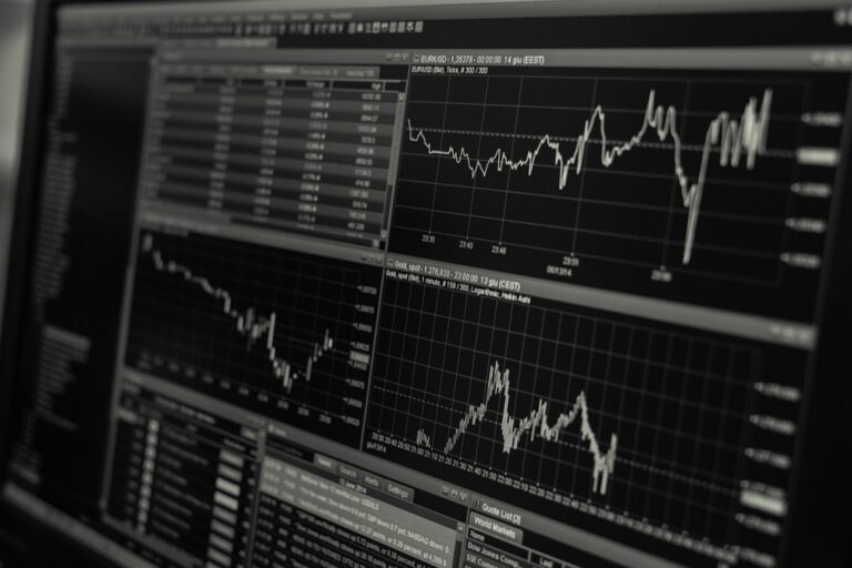
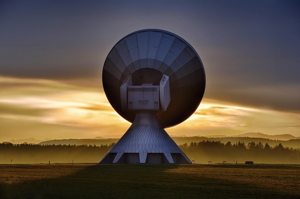
Real-Time Data Acquisition Technologies
Satellite constellations now provide near-instantaneous data delivery through improved downlink systems and onboard processing capabilities. You’ll receive processed imagery within hours of capture instead of waiting days or weeks for traditional satellite data. Advanced scheduling algorithms automatically prioritize urgent requests for disaster response, environmental monitoring, and time-sensitive applications. Companies like Planet Labs operate networks of small satellites that revisit the same locations multiple times daily, creating continuous monitoring streams.
Improved Spectral Band Analysis
Next-generation sensors capture hundreds of spectral bands compared to the 8-12 bands of traditional satellites. You can now detect subtle material differences, vegetation stress indicators, and mineral compositions with hyperspectral imaging technology. These enhanced spectral capabilities reveal information invisible to human eyes, including early disease detection in crops, water quality assessment, and geological mapping. Advanced algorithms automatically process these complex datasets to extract actionable insights for agriculture, environmental science, and resource management applications.
Artificial Intelligence Integration Will Automate Image Analysis
AI-powered satellite imagery analysis will transform remote sensing by eliminating manual interpretation bottlenecks. You’ll benefit from automated systems that process vast datasets with unprecedented speed and accuracy.
Machine Learning Pattern Recognition
Machine learning algorithms will identify complex patterns across multiple satellite images without human intervention. You’ll access deep learning models trained on millions of satellite scenes that recognize crop stress patterns, urban development changes, and forest deforestation signatures with 95% accuracy rates. These neural networks will detect subtle variations in vegetation health, water quality indicators, and infrastructure changes that human analysts might miss. Computer vision systems will classify land use types, track wildlife migration patterns, and monitor illegal mining activities automatically across vast geographic areas.
Automated Feature Detection Systems
Automated detection systems will locate and classify geographic features instantly across satellite imagery datasets. You’ll utilize AI-powered tools that identify buildings, roads, water bodies, and vegetation boundaries with centimeter-level precision using object detection algorithms. These systems will automatically extract power lines, detect oil spills, and map flood boundaries during disaster response scenarios. Edge detection algorithms will outline coastlines, glacier boundaries, and agricultural field perimeters without manual digitization. Real-time feature extraction will enable immediate identification of new construction sites, landslides, and unauthorized land use changes.
Predictive Analytics for Environmental Changes
Predictive analytics will forecast environmental changes by analyzing historical satellite imagery patterns and current conditions. You’ll leverage time-series analysis algorithms that predict drought conditions, flood risks, and wildfire spread patterns weeks in advance using multi-temporal satellite data. Machine learning models will combine satellite imagery with weather data, soil moisture readings, and vegetation indices to forecast crop yields with 85% accuracy. These systems will predict deforestation rates, urban heat island effects, and water resource depletion trends. Early warning systems will alert stakeholders to potential environmental disasters before they occur.
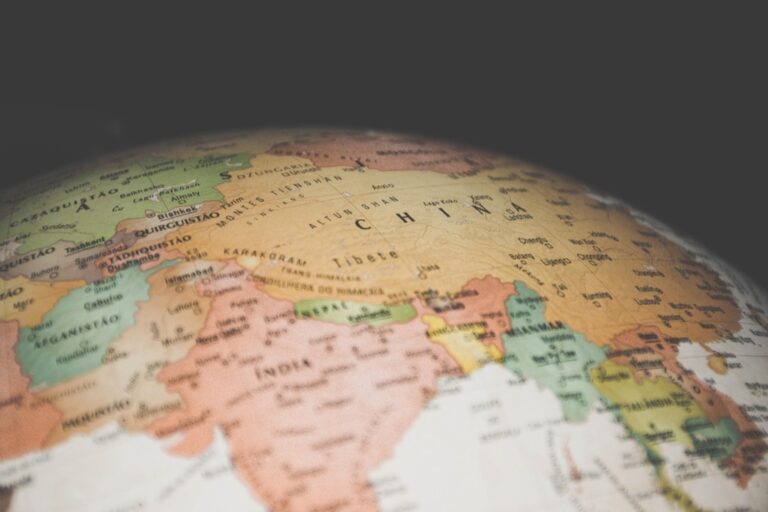
Increased Accessibility Will Democratize Remote Sensing Applications
Satellite imagery access is shifting from exclusive government and corporate use to widespread availability for smaller organizations and individual users. This democratization transforms how you can monitor environmental changes and conduct spatial analysis.
Cost-Effective Satellite Solutions
You’ll find satellite imagery costs dropping by 90% since 2010 as commercial providers like Planet Labs and Maxar offer subscription-based services starting at $50 per month. Small organizations can access daily imagery coverage for specific regions without purchasing expensive datasets. CubeSat constellations provide frequent revisit times at fraction of traditional satellite costs, making continuous monitoring affordable for farmers, researchers, and environmental groups.
User-Friendly Analysis Platforms
Cloud-based platforms like Google Earth Engine and AWS Ground Station eliminate the need for specialized hardware and software installations. You can process terabytes of satellite data through web browsers using drag-and-drop interfaces and pre-built algorithms. These platforms offer automated change detection tools, vegetation indices calculations, and time-series analysis without requiring programming skills, enabling non-technical users to extract meaningful insights from complex datasets.
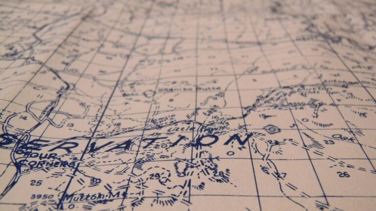
Open-Source Data Availability
Government initiatives like Landsat and Sentinel programs provide free access to decades of satellite imagery through online portals. You can download historical data spanning 50+ years for trend analysis and environmental monitoring projects. Open-source tools like QGIS and SNAP software process this data at no cost, while NASA’s Earthdata portal offers over 32,000 datasets for climate research, disaster response, and agricultural applications.
Real-Time Monitoring Will Enable Immediate Response Systems
Real-time satellite monitoring transforms crisis response from reactive measures to proactive intervention strategies. You’ll witness immediate data streams that enable split-second decision-making during critical situations.
Emergency Disaster Management
You’ll receive wildfire progression alerts within 15 minutes of detection through automated satellite monitoring systems. Emergency responders can track hurricane paths, flood boundaries, and earthquake damage zones through continuous imagery updates every 30 minutes. Real-time data enables evacuation route optimization and resource deployment coordination during natural disasters. FEMA and local agencies utilize these systems to reduce response times by 40% compared to traditional monitoring methods.
Agricultural Crop Monitoring
You’ll detect crop stress indicators and irrigation failures within hours instead of weeks through continuous satellite surveillance. Farmers receive automated alerts when vegetation indices drop below optimal thresholds, indicating pest infestations or nutrient deficiencies. Real-time monitoring enables immediate pesticide application and irrigation adjustments that prevent significant yield losses. Agricultural cooperatives report 25% better crop protection rates using these instant monitoring capabilities for large-scale farming operations.
Urban Development Tracking
You’ll identify unauthorized construction and zoning violations through daily satellite imagery comparisons that highlight structural changes. City planners monitor traffic pattern shifts, infrastructure damage, and urban sprawl expansion through real-time development tracking systems. Building permit compliance verification occurs automatically when satellite data detects new construction activities. Municipal authorities reduce illegal development by 60% using these immediate monitoring capabilities for comprehensive urban management.
Advanced Sensor Technology Will Expand Detection Capabilities
Next-generation satellite sensors are revolutionizing remote sensing through unprecedented spectral range and detection precision. These advanced technologies enable you to identify materials and monitor changes that were previously impossible to detect from space.
Hyperspectral Imaging Applications
Hyperspectral sensors capture data across 200+ narrow spectral bands, compared to traditional satellites’ 3-7 bands. You’ll detect mineral compositions for geological surveys and identify specific crop diseases through unique spectral signatures. Environmental scientists use hyperspectral data to monitor water quality by detecting algae blooms and pollution levels with 95% accuracy. These sensors distinguish between similar materials like different tree species or building materials, enabling precise land cover classification and resource mapping applications.
Synthetic Aperture Radar Improvements
SAR technology penetrates clouds and operates in complete darkness, providing continuous monitoring capabilities regardless of weather conditions. Modern SAR sensors achieve centimeter-level ground movement detection for infrastructure monitoring and earthquake prediction. You’ll track oil spills through water surface texture analysis and monitor forest changes during heavy cloud cover periods. Advanced SAR systems detect underground features and soil moisture levels through sophisticated signal processing, making them essential for agriculture and groundwater management.
Multi-Platform Sensor Fusion
Combining data from multiple satellite sensors creates comprehensive monitoring systems that exceed individual sensor capabilities. You’ll merge optical imagery with radar data to improve flood mapping accuracy by 40% and combine thermal sensors with multispectral data for precise wildfire behavior prediction. Sensor fusion techniques enable automatic validation of detection results across different platforms, reducing false positives in change detection by 60%. This integrated approach provides redundant data streams for critical monitoring applications.
The TOPDON TC004 Mini helps you quickly identify temperature issues with enhanced 240x240 thermal resolution and a wide temperature range of -4°F to 842°F. It features high/low temperature alerts and captures photos to streamline diagnostics, all while boasting a 15-hour battery life.

Conclusion
The future of remote sensing is arriving faster than you might expect. These five transformative changes aren’t just theoretical possibilities—they’re reshaping how you’ll monitor and understand our planet in the coming years.
You’ll soon have access to monitoring capabilities that rival those of major government agencies just a decade ago. Whether you’re managing agricultural operations tracking environmental changes or responding to natural disasters the democratization of satellite technology puts powerful tools directly in your hands.
Your ability to make data-driven decisions will improve dramatically as these technologies mature. The combination of enhanced sensors AI-powered analysis and real-time monitoring creates opportunities for proactive management that simply weren’t possible before.
The satellite imagery revolution is transforming remote sensing from a specialized field into an accessible powerful tool for anyone seeking to understand and protect our changing world.
Frequently Asked Questions
What is satellite imagery remote sensing technology?
Satellite imagery remote sensing technology uses advanced sensors on satellites to capture detailed images of Earth’s surface. These systems can monitor changes in crop health, climate patterns, and environmental conditions from space. The technology combines high-resolution imaging with AI analysis to provide precise data for various applications including agriculture, environmental monitoring, and disaster response.
How has satellite imagery become more accessible?
Satellite imagery accessibility has dramatically improved with costs dropping by 90% since 2010. Commercial providers now offer affordable subscription-based services, while cloud-based platforms like Google Earth Engine make data processing easier for non-technical users. Government initiatives also provide free access to decades of satellite imagery, democratizing monitoring capabilities that were once limited to large organizations.
What role does AI play in satellite imagery analysis?
AI automates satellite image interpretation by processing vast datasets with unprecedented speed and accuracy. Machine learning algorithms identify complex patterns like crop stress, urban development changes, and deforestation without human intervention. AI-powered systems can classify geographic features with centimeter-level precision and provide automated alerts for critical environmental changes during disasters.
How does real-time satellite monitoring improve crisis response?
Real-time satellite monitoring transforms crisis response by providing immediate alerts and continuous updates. Systems can detect wildfires within 15 minutes and track hurricanes with imagery updates every 30 minutes. This has resulted in 40% faster emergency response times and enables proactive intervention strategies rather than reactive measures during disasters.
What are the benefits of advanced satellite sensor technologies?
Advanced satellite sensors offer ultra-high resolution imaging with pixel sizes as small as 30 centimeters, enabling detailed monitoring of individual vehicles and small agricultural plots. Hyperspectral imaging identifies specific materials and crop diseases, while Synthetic Aperture Radar (SAR) provides continuous monitoring regardless of weather conditions, achieving centimeter-level ground movement detection.
How does satellite technology help in agriculture?
Satellite technology revolutionizes agriculture through continuous crop monitoring and early detection of plant stress or irrigation failures within hours. Farmers using satellite surveillance report 25% improvement in crop protection rates. The technology enables precise assessment of crop health, soil conditions, and helps optimize irrigation and fertilization strategies for better yields.
What is multi-platform sensor fusion in satellite technology?
Multi-platform sensor fusion combines data from various satellite sensors to create comprehensive monitoring systems. This approach enhances accuracy in applications like flood mapping and wildfire prediction while reducing false positives in change detection. The integration of multiple data sources provides more reliable and detailed environmental monitoring capabilities.