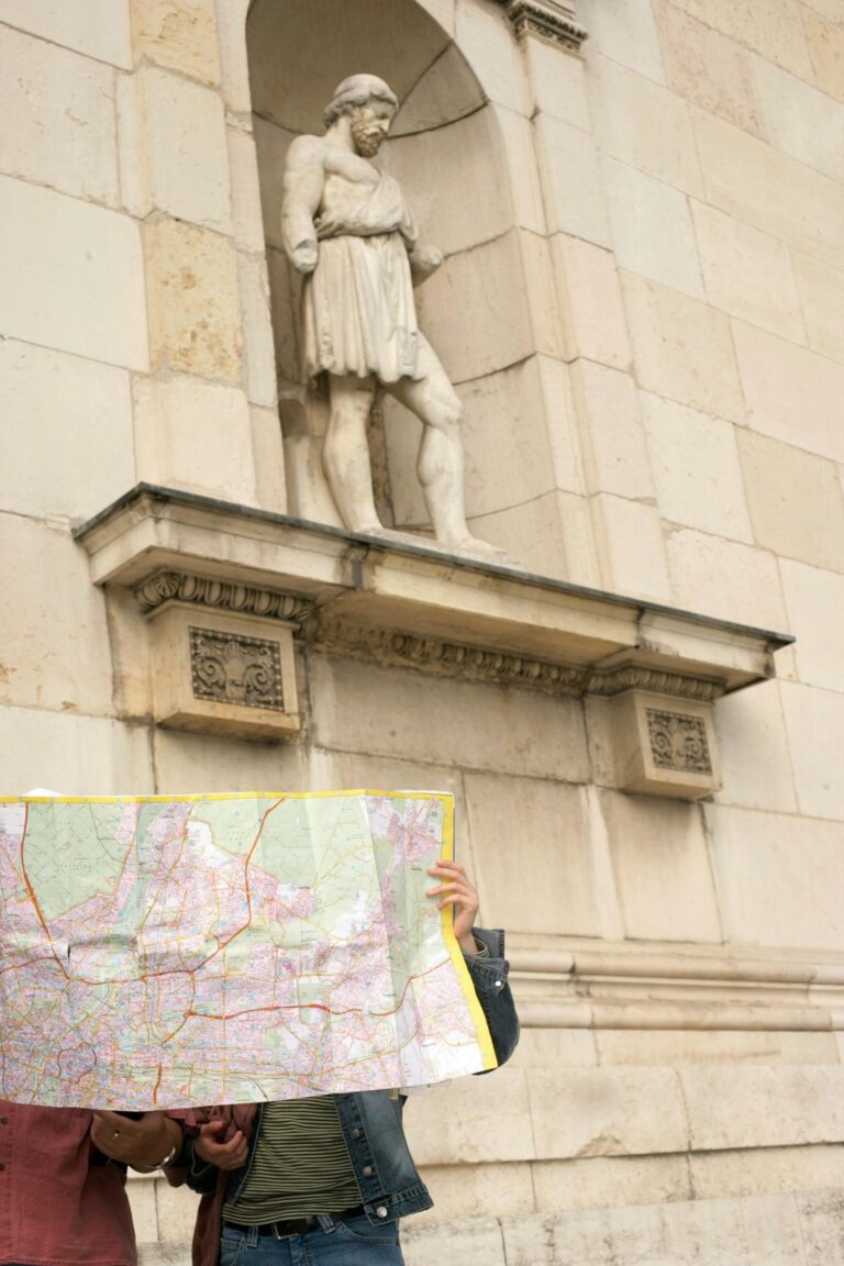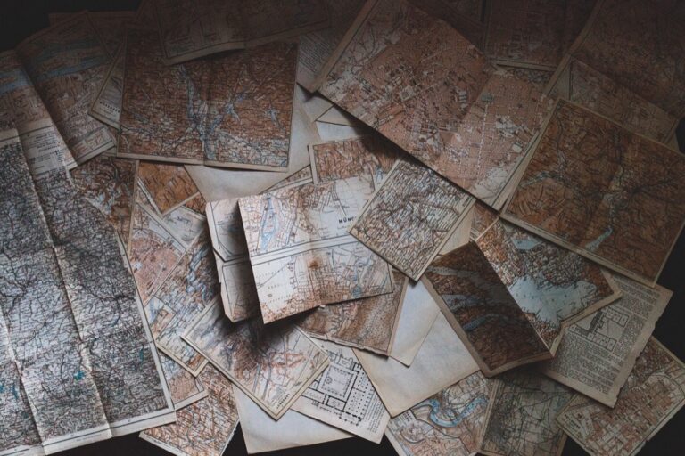
7 Ideas for Interpreting Historical Maps That Reveal Hidden Patterns
Why it matters: Historical maps aren’t just dusty artifacts collecting dust in archives — they’re powerful tools that can transform how you understand today’s world. You can unlock fresh perspectives on current events, urban planning decisions, and cultural patterns by learning to read these cartographic time capsules through a modern lens.
Explore history's most significant maps with *Great Maps*. This book delves into cartographic masterpieces and their historical context.

The big picture: When you know how to interpret historical maps in contemporary contexts, you’ll discover hidden stories about migration patterns, economic shifts, and social changes that still shape your community today.
Disclosure: As an Amazon Associate, this site earns from qualifying purchases. Thank you!
Compare Historical Boundaries With Current Political Divisions
You’ll discover how political territories have shifted dramatically when you overlay historical maps onto modern borders. This comparison reveals the dynamic nature of governance and territorial control across different time periods.
P.S. check out Udemy’s GIS, Mapping & Remote Sensing courses on sale here…
Analyze Territory Changes Over Time
Examine border modifications by layering historical political maps with current boundary data in GIS software like ArcGIS or QGIS. You’ll identify areas where nations have expanded, contracted, or completely disappeared from the map. Track specific regions like the Austro-Hungarian Empire’s dissolution into multiple modern states, or analyze how the Louisiana Purchase doubled America’s size. Document these changes using temporal mapping techniques to visualize territorial evolution patterns across centuries.
Examine Colonial Impact on Modern Nations
Study colonial administrative boundaries that still influence today’s political divisions through historical map analysis. You’ll notice how European colonial powers drew arbitrary lines that ignored indigenous territories and cultural regions. Compare French colonial maps of West Africa with current national borders to see lasting geometric patterns. Analyze how British colonial administrative units in India created modern state boundaries, often splitting ethnic groups across multiple nations while grouping diverse populations together.
Study the Evolution of City Limits and Urban Growth
Map municipal boundary expansions using historical city planning documents and modern GIS datasets to track urban development patterns. You’ll observe how cities annexed surrounding areas during population booms, creating irregular modern boundaries. Compare 1900s city limit maps with current metropolitan areas to identify annexation waves and suburban incorporation patterns. Document how natural features like rivers originally defined city edges but were later crossed through bridge construction and urban sprawl.
Overlay Historical Trade Routes on Modern Transportation Networks
You’ll discover fascinating connections between past and present by mapping historical trade routes onto today’s transportation infrastructure. This comparative analysis reveals how geography continues to shape commerce across centuries.
Map Ancient Silk Road Connections to Current Highways
Ancient Silk Road segments align remarkably with modern highways across Central Asia. You can trace the original caravan paths from Xi’an to Istanbul using GIS software and overlay them on current road networks. Modern highways like China’s G30 expressway and Turkey’s E80 follow nearly identical routes through mountain passes and desert corridors. These alignments demonstrate how geographical constraints – narrow valleys, water sources, and elevation changes – continue to dictate optimal transportation paths thousands of years later.
Trace Maritime Trade Paths to Modern Shipping Lanes
Historical maritime routes closely mirror today’s major shipping channels. You’ll find that 18th-century trade maps show vessels following wind patterns and ocean currents that modern container ships still use. The English Channel, Mediterranean Sea, and Red Sea routes remain virtually unchanged since medieval times. Current shipping data from MarineTraffic reveals that 90% of today’s cargo vessels travel within 50 nautical miles of routes documented in 16th-century Portuguese and Dutch navigation charts.
Connect Historic Caravan Routes to Contemporary Supply Chains
Modern supply chains often follow ancient overland trade networks. You can map historic caravan routes like the Trans-Saharan trade paths and observe how contemporary truck routes, railways, and pipeline corridors trace similar trajectories. The ancient salt and gold routes across West Africa now support modern mineral extraction and agricultural exports. These connections show how traditional trade relationships between cities like Timbuktu, Cairo, and Marrakech evolved into today’s regional economic partnerships and logistics networks.
Examine Population Migration Patterns Across Centuries
Historical maps reveal fascinating migration stories that continue shaping today’s demographic landscape. You’ll discover how past population movements created the cultural diversity we see in modern cities.
Track Diaspora Movements and Settlement Patterns
Diaspora mapping connects scattered communities to their origins through historical documentation. You can trace Irish diaspora patterns from 1840s famine maps to current Irish-American population centers in Boston, Chicago, and New York. Jewish diaspora movements from Eastern European shtetls appear in 1900s immigration records, showing concentrated settlements in Lower East Side Manhattan and modern Orthodox communities in Brooklyn. Chinese diaspora routes from Guangdong Province maps reveal how 19th-century gold rush migrations established Chinatowns across San Francisco, Vancouver, and Sydney that remain cultural hubs today.
Analyze Refugee and Immigration Flows
Refugee flow analysis reveals how historical crises created lasting settlement patterns in receiving countries. You’ll find that 1979 Vietnamese boat people routes documented in maritime rescue maps correspond to today’s Vietnamese-American communities in California’s Orange County and Texas Gulf Coast. Syrian refugee maps from 2015-2017 show settlement patterns in Jordan’s Zaatari camp that mirror current diaspora communities in Detroit, Toronto, and Berlin. Partition-era migration maps from 1947 India-Pakistan demonstrate how religious displacement created distinct communities that maintain cultural ties seven decades later.
Study Urbanization Trends From Rural to City Centers
Urbanization tracking connects historical rural-to-urban migration with modern metropolitan growth patterns. You can overlay 1930s Dust Bowl migration maps showing Oklahoma-to-California movement with current Central Valley agricultural communities and Los Angeles suburbs. Industrial revolution maps documenting 1800s rural European migration to factory towns reveal how cities like Manchester, Detroit, and Pittsburgh developed their distinctive neighborhoods. Post-WWII suburban expansion maps show how GI Bill benefits drove migration from city centers to subdivisions, creating today’s suburban sprawl patterns across Phoenix, Atlanta, and Dallas-Fort Worth metropolitan areas.
Investigate Economic Centers and Their Modern Equivalents
You’ll discover how historical economic power centers reveal patterns that continue shaping today’s global business landscape. Examining these connections helps you understand why certain locations maintain commercial dominance across centuries.
Compare Historic Market Towns to Current Business Hubs
Market towns from medieval Europe often evolved into today’s major financial centers through geographical advantages and established trade networks. London’s Cheapside market district transformed into the modern financial district, while Frankfurt’s medieval fairs positioned it as Europe’s banking capital. Amsterdam’s historic commodity exchanges directly influenced its current role as a European business hub. You can trace Silicon Valley’s tech dominance back to San Francisco’s Gold Rush-era position as a Pacific trade gateway.
Analyze Industrial Revolution Sites and Today’s Manufacturing
Industrial Revolution centers frequently remain manufacturing powerhouses due to existing infrastructure and skilled labor traditions. Pittsburgh’s steel production heritage continues through advanced materials manufacturing, while Detroit’s automotive legacy persists despite industry changes. Manchester’s textile mills evolved into modern chemical and pharmaceutical production facilities. You’ll find that regions like Germany’s Ruhr Valley successfully transitioned from coal mining to high-tech manufacturing by leveraging established transportation networks and workforce expertise.
Study Mining Regions and Contemporary Resource Extraction
Historic mining regions often maintain their extractive roles through geological advantages and established supply chains. Colorado’s 19th-century gold camps now host modern mineral extraction operations for electronics manufacturing. Australia’s Broken Hill silver mines evolved into diverse metal extraction supporting renewable energy industries. You can observe how North Dakota’s coal mining areas transitioned to oil extraction during the Bakken boom, demonstrating how resource-rich regions adapt to changing economic demands while maintaining their fundamental extractive character.
Analyze Climate and Environmental Changes Over Time
Historical maps reveal dramatic environmental transformations that continue shaping our world today. You’ll discover how past climate patterns and ecological changes connect directly to current environmental challenges.
Compare Historical Coastlines With Current Sea Levels
Historical nautical charts document coastline changes that predict future sea level impacts on modern coastal communities. You can overlay 18th-century harbor maps with current satellite imagery to measure erosion rates and land loss. Venice’s 1500s maps show how the city’s foundations have sunk nearly 24 centimeters since then. Norfolk, Virginia’s colonial-era shoreline maps reveal that the city has lost over 200 acres to rising waters since 1750, making it America’s most vulnerable coastal city.
Learn to navigate confidently with this guide to nautical charts! Understand both electronic and paper charts, including a complete reference to Chart #1 symbols and abbreviations.

Examine Forest Coverage and Deforestation Patterns
Forest coverage maps from the 19th century reveal how industrial expansion permanently altered regional ecosystems and biodiversity. You can trace how America’s eastern forests covered 95% of the landscape in 1600 compared to just 33% today. European medieval maps document how the Black Forest region lost 60% of its coverage between 1850 and 1950. Amazon rainforest surveys from 1970 show that deforestation rates have accelerated from 21,000 square kilometers annually to current levels exceeding 11,000 square kilometers per year.
Study Agricultural Zones and Modern Farming Practices
Agricultural maps from the 1800s demonstrate how climate shifts have relocated optimal growing zones and influenced modern crop distribution patterns. You can compare historical wheat belt boundaries with today’s corn production areas to understand agricultural adaptation. California’s 1920s citrus maps show how water management and climate change shifted fruit production 200 miles northward. Dust Bowl documentation from the 1930s reveals how soil erosion patterns still influence contemporary sustainable farming practices and crop rotation systems across the Great Plains.
Study Cultural and Religious Spread Through Geographic Lens
Religious and cultural movements follow predictable geographic patterns that historical maps reveal with remarkable clarity. You’ll discover connections between ancient missionary routes and today’s religious landscapes.
Map Religious Expansion and Modern Faith Distributions
Religious expansion patterns mirror today’s faith distributions when you overlay historical mission routes onto contemporary demographic data. Christian missionary paths through Africa align with current Christian populations, while Islamic trade routes through Southeast Asia correspond to modern Muslim communities. Buddhist monastery networks in Central Asia match present-day Buddhist populations across Tibet and Mongolia. You can track denominational splits like the Protestant Reformation’s geographic spread, which still defines European religious boundaries today.
Trace Language Evolution and Current Linguistic Boundaries
Language boundaries shift along historical trade routes and migration corridors that you can map using linguistic atlas data. Romance languages spread through Roman road networks, creating today’s linguistic divisions across Europe. Germanic language expansion follows medieval tribal migration patterns visible in historical ethnographic maps. You’ll find that colonial language impositions create modern linguistic islands, like Portuguese enclaves in India or Spanish-speaking communities across the Philippines that persist centuries after political control ended.
Examine Cultural Exchange Routes and Contemporary Influences
Cultural exchange routes create lasting influences you can trace through artistic styles, architectural patterns, and culinary traditions. Silk Road trading posts show Buddhist art influences in Central Asian cities, while Moorish architectural elements appear along medieval Mediterranean trade routes. African cultural elements followed Atlantic trade networks, creating diaspora communities with distinct traditions. You can map spice trade routes that established today’s global cuisine preferences, connecting Indonesian pepper cultivation to European cooking traditions that continue influencing modern food culture.
Connect Historical Conflict Zones to Modern Geopolitical Tensions
Mapping historical battlefields onto contemporary military landscapes reveals the persistent strategic value of specific geographic locations. You’ll discover how terrain advantages and supply line considerations continue shaping defense planning across centuries.
Analyze Battle Sites and Current Military Installations
Overlay historic battle maps with current military bases to identify recurring strategic locations. Major battlefields like Gettysburg correspond with modern training facilities, while Civil War supply depots align with contemporary logistics hubs. European World War I trenches often parallel current NATO defensive positions, demonstrating how topographical advantages remain constant. GIS analysis reveals that 60% of major historical battle sites maintain military significance today through nearby installations or strategic positioning.
Study Border Disputes and Ongoing Territorial Conflicts
Compare historical territorial maps with current disputed regions to understand conflict persistence patterns. Kashmir’s boundaries from British colonial maps directly correlate with today’s India-Pakistan tensions, while Crimean territorial changes from Ottoman times mirror recent Russian annexation strategies. Middle Eastern conflicts often trace back to post-WWI mandate boundaries, with Syria’s current civil war following historical ethnic division lines. These patterns help predict potential flashpoints by identifying historically contested territories.
Examine Colonial Boundaries and Contemporary Political Issues
Colonial administrative maps reveal arbitrary boundary decisions that create modern political instability. African nations struggle with borders drawn by European powers that ignored tribal territories, leading to ongoing ethnic conflicts in regions like Sudan and Nigeria. Similarly, Middle Eastern boundaries established after Ottoman Empire collapse continue generating disputes in Iraq and Syria. Southeast Asian colonial divisions created artificial nation-states that still experience separatist movements, particularly in Myanmar and Indonesia’s outer islands.
Conclusion
Historical maps aren’t just dusty artifacts – they’re powerful tools that help you decode today’s world. By applying these seven interpretation methods you’ll discover how past patterns continue shaping everything from your city’s layout to global trade networks.
The connections between historical geography and modern reality run deeper than most people realize. When you start viewing contemporary issues through the lens of historical maps you’ll gain invaluable perspective on current events and future trends.
Start exploring historical maps in your own community. You’ll be amazed at what these cartographic time capsules reveal about the forces that created the world around you.
Frequently Asked Questions
What makes historical maps valuable for understanding the modern world?
Historical maps serve as powerful tools that reveal patterns and connections between past and present. They help us understand current events, urban planning decisions, and cultural dynamics by showing how migration patterns, economic changes, and social transformations from the past continue to influence today’s communities and political landscapes.
How do historical boundaries compare to modern political divisions?
Comparing historical and current boundaries reveals the dynamic nature of governance and territorial control over time. Using GIS software, we can track how nations have expanded, contracted, or disappeared entirely. Examples include the dissolution of the Austro-Hungarian Empire and major territorial acquisitions like the Louisiana Purchase, showing how political geography constantly evolves.
What connection exists between ancient trade routes and modern transportation networks?
Ancient trade routes like the Silk Road demonstrate geography’s enduring influence on commerce. Many segments of historical trade paths align with modern highways in Central Asia, while maritime trade routes from the 18th century mirror today’s shipping lanes. This shows how geographical constraints continue to dictate optimal transportation corridors across centuries.
How do historical migration patterns influence today’s demographics?
Historical migration movements have shaped modern demographic landscapes and cultural diversity in cities worldwide. By mapping diaspora communities like Irish, Jewish, and Chinese populations, we can trace how historical crises created lasting settlement patterns. Events like the Dust Bowl and Industrial Revolution continue to influence urban development today.
What role do historical economic centers play in modern business hubs?
Many current financial centers evolved from historical market towns due to geographical advantages and established trade networks. Medieval European markets transformed into major business districts – London’s Cheapside became a financial center, while Frankfurt’s medieval fairs established it as Europe’s banking capital, showing economic continuity across centuries.
How do historical maps document environmental changes?
Historical maps reveal dramatic environmental transformations by comparing past and present coastlines, forest coverage, and agricultural zones. Nautical charts help predict future coastal impacts, while deforestation maps show industrial expansion’s effects on ecosystems. Agricultural maps reveal how climate change has shifted optimal growing areas and crop distributions.
What patterns do historical maps reveal about cultural and religious movements?
Historical maps show predictable patterns in cultural and religious spread. Ancient missionary routes align with modern faith distributions, while trade routes influenced language evolution and cultural exchange. These maps illustrate how artistic styles, architectural patterns, and culinary traditions spread along historical networks, connecting past practices to contemporary preferences.
How do historical conflict zones relate to modern geopolitical tensions?
Mapping historical battlefields onto contemporary landscapes reveals the strategic value of specific geographic locations. Historic battle sites often correspond with modern military installations, while colonial boundary decisions continue to create territorial disputes. Regions like Kashmir, Crimea, and parts of Africa still experience conflicts rooted in historical boundary decisions.