7 Geospatial Data Validation Methods That Improve Precision
Why it matters: Bad geospatial data costs organizations millions in poor decision-making and failed projects every year.
The big picture: You’re working with location-based information that powers everything from delivery routes to disaster response — and even small errors can cascade into major problems.
What’s next: Seven proven validation methods can help you catch data quality issues before they derail your GIS projects and spatial analysis.
Disclosure: As an Amazon Associate, this site earns from qualifying purchases. Thank you!
P.S. check out Udemy’s GIS, Mapping & Remote Sensing courses on sale here…
Understanding Geospatial Data Validation and Its Critical Importance
Building on the costly consequences of poor geospatial data quality, you need systematic validation methods to ensure your location-based datasets meet professional standards.
What Is Geospatial Data Validation
Geospatial data validation is the systematic process of checking spatial datasets for accuracy, completeness, and consistency before using them in mapping projects. You examine coordinate systems, geometry integrity, attribute completeness, and topology relationships to identify errors. Professional cartographers use automated validation tools like ESRI’s Data Reviewer and QGIS validation plugins alongside manual verification techniques. This quality control process ensures your spatial data meets specific accuracy standards and performs correctly in GIS applications.
Why Data Quality Matters in GIS Applications
High-quality geospatial data directly impacts the reliability of your spatial analysis and mapping outputs. Poor data quality leads to incorrect distance calculations, failed routing algorithms, and inaccurate area measurements that compromise project results. Emergency response systems require precise coordinates for effective deployment, while navigation applications depend on accurate road networks for optimal routing. You’ll find that validated datasets reduce processing errors, improve analytical confidence, and ensure compliance with industry mapping standards like FGDC metadata requirements.
Common Sources of Geospatial Data Errors
Data collection methods introduce various error types that affect spatial accuracy and usability. GPS measurement errors occur from satellite signal interference, atmospheric conditions, and receiver limitations, typically ranging from 3-5 meters for consumer devices. Digitization mistakes happen during manual feature tracing, including overshoots, undershoots, and coordinate entry errors. Data conversion processes between different coordinate systems create projection distortions and datum shifts. You’ll also encounter attribute errors from incorrect field data entry, outdated information, and inconsistent classification schemes across datasets.
Topological Validation: Ensuring Spatial Relationships Are Correct
Topological validation examines how geographic features relate to each other spatially, ensuring your data maintains proper geometric relationships. This method catches critical errors that could compromise spatial analysis accuracy and GIS project integrity.
Checking for Polygon Overlaps and Gaps
Polygon overlaps occur when boundaries illegally intersect, creating duplicate coverage areas that skew area calculations and spatial queries. Use ESRI’s Topology Rules or QGIS’s Topology Checker to identify these conflicts automatically. Gaps between adjacent polygons represent missing data coverage, often appearing as slivers between property boundaries or administrative districts. PostGIS’s ST_Gap() function efficiently detects these voids in polygon datasets, while FME’s AreaGapAndOverlapCleaner removes both overlaps and gaps simultaneously during data processing workflows.
Validating Line Connectivity and Intersections
Line connectivity validation ensures linear features properly connect at network nodes, preventing routing errors in transportation analysis. GRASS GIS’s v.clean tool automatically snaps dangles and removes duplicate vertices within specified tolerance distances. Intersection validation identifies where lines cross inappropriately, such as roads passing through buildings without proper attribution. ArcGIS Network Analyst’s connectivity checks verify that intersecting lines share common vertices, while QGIS’s Line Intersection plugin highlights crossing violations that require manual correction or rule-based attribution updates.
Point-in-Polygon and Spatial Containment Rules
Point-in-polygon validation verifies that point features fall within their designated boundary polygons, ensuring address points sit inside property parcels and survey markers remain within project boundaries. PostGIS’s ST_Contains() function efficiently processes large datasets, returning boolean values for containment relationships. Spatial containment rules enforce hierarchical relationships, ensuring smaller polygons nest properly within larger ones – like census blocks within census tracts. QGIS’s Processing Toolbox includes containment checks that flag violations, while custom Python scripts using Shapely can automate complex containment validations across multiple polygon layers.
Attribute Validation: Verifying Non-Spatial Data Accuracy
Attribute validation ensures that your non-spatial data values maintain accuracy and consistency across your entire geospatial dataset. This critical validation step prevents attribute-related errors from compromising your spatial analysis results.
Cross-Referencing Against Reference Datasets
Cross-referencing validation compares your attribute data against authoritative reference sources to identify discrepancies and missing information. You’ll use tools like FME Data Inspector or ArcGIS Data Reviewer to match records against government databases, census data, or industry-standard lookup tables. This process catches errors like incorrect postal codes, mismatched administrative boundaries, or outdated demographic information that could affect your spatial analysis accuracy.
Checking Data Type Consistency and Formats
Data type validation ensures that attribute fields contain the correct format and structure throughout your dataset. You’ll verify that numeric fields don’t contain text characters, date fields follow consistent formatting patterns, and text fields maintain proper case conventions. Tools like QGIS Field Calculator or PostgreSQL data type constraints help identify mixed data types, invalid characters, and formatting inconsistencies that can cause processing errors during analysis.
Validating Attribute Value Ranges and Constraints
Range validation checks that attribute values fall within acceptable minimum and maximum limits based on real-world constraints. You’ll establish logical boundaries for fields like elevation ranges, population densities, or temperature readings using tools such as ArcGIS Model Builder or PostGIS CHECK constraints. This validation catches outliers, data entry errors, and impossible values like negative population counts or temperatures exceeding physical limits for your geographic region.
Geometric Validation: Confirming Coordinate Accuracy and Precision
Geometric validation verifies that your spatial coordinates accurately represent real-world positions and maintain consistent mathematical precision throughout your dataset.
Coordinate System and Projection Verification
Coordinate system mismatches create systematic positioning errors that compound across your entire dataset. You’ll need to verify that all data layers use the same coordinate reference system (CRS) and projection parameters. Tools like GDAL’s gdalinfo command and ArcGIS’s Data Management toolbox help identify CRS inconsistencies. Check for proper datum transformations when combining datasets from different sources, as incorrect transformations can shift features by hundreds of meters. Always validate projection parameters against authoritative sources like EPSG.org to ensure mathematical accuracy.
Positional Accuracy Assessment Methods
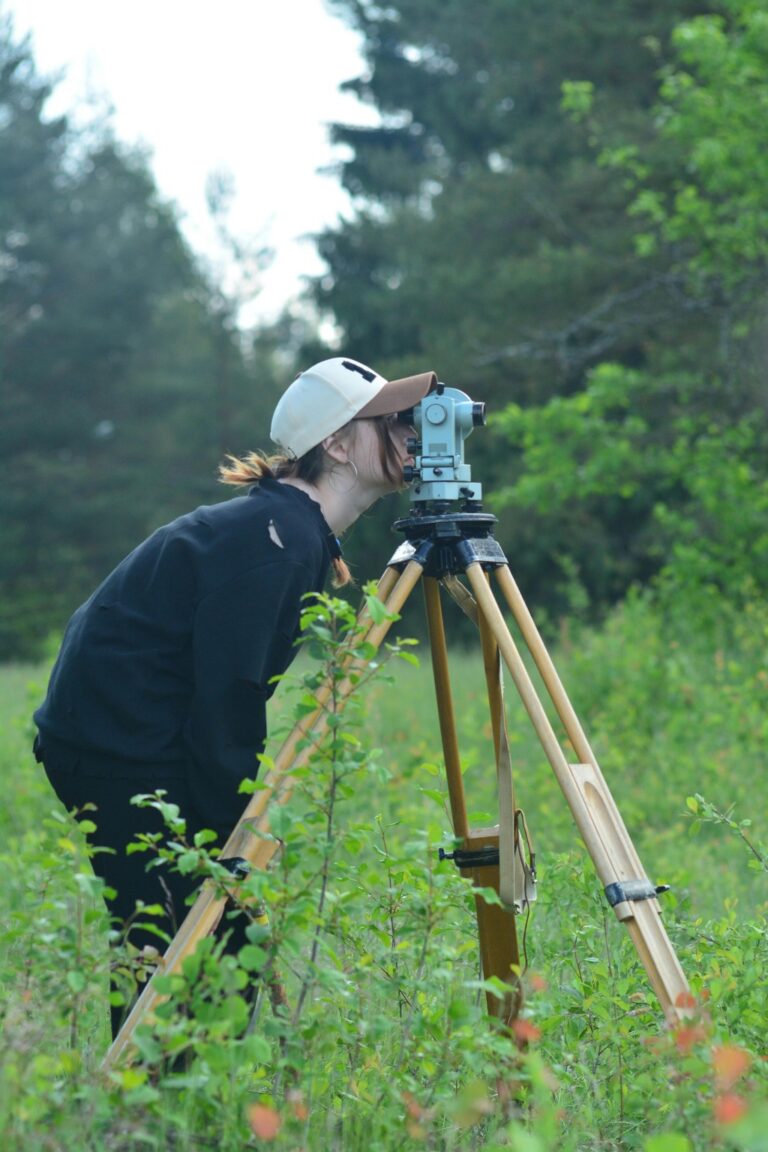
Ground control points provide the foundation for assessing coordinate precision against known reference locations. You can use GPS survey data or control points from national geodetic surveys to establish accuracy benchmarks. Calculate root mean square error (RMSE) values to quantify positional deviation, typically aiming for RMSE values under your project’s tolerance threshold. Tools like ArcGIS’s Georeferencing toolbar and QGIS’s Georeferencer plugin help assess transformation accuracy. Compare coordinates against high-resolution orthoimagery or LiDAR datasets to identify systematic positioning errors that require correction.
Improve drone mapping accuracy with this 10-pack of numbered (0-9) 24"x24" GCP targets. Durable, waterproof Oxford cloth with high-contrast black and white design ensures clear visibility and reliable performance in various conditions.

Scale and Resolution Consistency Checks
Resolution conflicts between datasets create visualization problems and analytical errors in your spatial calculations. Verify that pixel sizes in raster data match your project’s scale requirements, checking for inappropriate resampling that degrades data quality. Vector datasets require scale-appropriate feature density and detail levels to maintain cartographic integrity. Use tools like ArcGIS’s Calculate Geometry function or PostGIS’s ST_Area() to validate that feature dimensions align with expected real-world measurements. Check for mixed-resolution datasets that compromise analysis accuracy and visual consistency across your mapping project.
Temporal Validation: Ensuring Time-Based Data Integrity
Temporal validation complements geometric and attribute validation by verifying the accuracy and consistency of time-based information within your geospatial datasets. This validation method prevents chronological errors that can compromise time-series analysis and historical mapping projects.
Chronological Order Verification
Verify that timestamp sequences maintain logical chronological progression throughout your dataset using tools like PostgreSQL’s temporal functions or ArcGIS’s Time-Aware layers. Check for impossible time sequences where events appear to occur before their prerequisites or where tracking data shows objects moving backward through time. Identify timestamp reversals in GPS tracking data using FME’s TemporalSorter transformer or custom SQL queries that flag records where previous timestamps exceed current values.
Track vehicles and assets with the LandAirSea 54 GPS Tracker. Get real-time location alerts and historical playback using the SilverCloud app, with a long-lasting battery and discreet magnetic mount.

Date Format and Time Zone Consistency
Standardize date formats across your dataset using ISO 8601 format (YYYY-MM-DD HH:MM:SS) to prevent parsing errors during temporal analysis. Convert mixed time zones to a unified reference system like UTC using GDAL’s timezone conversion functions or PostGIS’s AT TIME ZONE operator. Validate that daylight saving time transitions don’t create duplicate or missing timestamps using tools like Python’s pytz library or specialized temporal validation scripts in R.
Temporal Range and Validity Checks
Establish realistic temporal boundaries for your dataset by defining minimum and maximum acceptable dates based on data collection periods or historical context. Flag impossible dates like future timestamps in historical datasets or dates predating the invention of GPS technology using constraint validation rules in database management systems. Detect temporal outliers where timestamps fall significantly outside expected ranges using statistical analysis tools like QGIS’s temporal statistics or custom validation scripts that calculate standard deviations from mean collection times.
Cross-Dataset Validation: Comparing Multiple Data Sources
Cross-dataset validation identifies spatial inconsistencies by comparing your primary geospatial data against multiple independent sources. This validation method reveals systematic errors and data quality issues that single-source validation techniques often miss.
Reference Dataset Comparison Techniques
Compare your spatial features against authoritative reference datasets using tools like ArcGIS’s Spatial Adjustment toolbar or QGIS’s Vector Overlay functions. Government datasets from USGS or Census Bureau provide reliable baseline comparisons for feature positioning and attribute accuracy. Calculate displacement vectors between corresponding features to quantify positional differences and identify systematic offset patterns. Use automated matching algorithms in FME or PostGIS to streamline large-scale comparisons across thousands of features.
Multi-Source Data Reconciliation Methods
Reconcile conflicting information by establishing data source hierarchies based on accuracy standards and collection dates. Weight each dataset according to its spatial resolution and collection methodology using tools like R’s spatial packages or Python’s GeoPandas library. Apply statistical methods including median filtering and outlier detection to resolve attribute conflicts between sources. Create composite datasets that combine the most reliable elements from each source while maintaining spatial consistency.
Identifying Discrepancies Between Datasets
Detect geometric discrepancies using buffer analysis and intersection operations in PostGIS or ArcGIS to identify features that don’t align within acceptable tolerance ranges. Flag attribute inconsistencies by comparing field values across datasets and highlighting records where differences exceed predefined thresholds. Generate discrepancy reports using automated workflows in FME or custom Python scripts that document spatial offsets, missing features, and attribute conflicts. Visualize discrepancies through color-coded maps and statistical dashboards to prioritize correction efforts.
Statistical Validation: Using Mathematical Methods for Quality Assessment
Statistical validation applies mathematical analysis to identify data quality issues that traditional validation methods might miss. You’ll use these quantitative approaches to measure data reliability and detect systematic errors in your geospatial datasets.
Outlier Detection and Analysis
Outlier detection identifies data points that deviate significantly from expected patterns in your spatial datasets. You can use statistical methods like the Z-score calculation and interquartile range (IQR) analysis to flag elevation values exceeding three standard deviations or attribute measurements falling outside the 1.5×IQR threshold. Tools like R’s spatial statistics packages and Python’s scikit-learn library help automate outlier identification across large datasets. Geographic outliers often indicate measurement errors or data entry mistakes that compromise analysis accuracy.
Distribution Analysis and Pattern Recognition
Distribution analysis examines how your geospatial data values spread across geographic space and attribute ranges. You’ll use statistical tests like Kolmogorov-Smirnov and Anderson-Darling to verify whether your data follows expected distributions such as normal or Poisson patterns. Spatial autocorrelation analysis through Moran’s I statistic reveals clustering patterns that validate or contradict expected geographic relationships. ESRI’s Spatial Statistics toolbox and GeoDa software provide comprehensive distribution testing capabilities for identifying systematic biases in your datasets.
Confidence Interval and Uncertainty Measurements
Confidence intervals quantify the reliability of your geospatial measurements by establishing statistical bounds around observed values. You’ll calculate 95% confidence intervals for positional accuracy using RMSE values and sample sizes to determine measurement precision. Monte Carlo simulation methods help propagate uncertainty through complex spatial analyses by running thousands of iterations with varying input parameters. Uncertainty visualization through error bars and confidence polygons communicates data reliability to stakeholders and supports informed decision-making in critical applications.
Conclusion
Implementing these seven geospatial data validation methods will transform your GIS projects from potential disasters into reliable analytical foundations. You’ll catch errors before they cascade through your workflows and compromise critical business decisions.
Achieve a flawless, even complexion with e.l.f. Flawless Satin Foundation. This lightweight, vegan formula provides medium coverage and a semi-matte finish for all-day wear, while hydrating your skin with glycerin.

The key to successful validation lies in combining multiple approaches rather than relying on a single method. Your topological checks might miss attribute inconsistencies while your statistical analysis could overlook temporal gaps.
Start with automated validation tools to handle routine checks then layer in manual verification for complex spatial relationships. You’ll find that investing time in validation upfront saves countless hours of troubleshooting downstream issues.
Remember that validation isn’t a one-time task—it’s an ongoing process that should be integrated into your regular data management workflows. Your future self will thank you for establishing these quality control measures today.
Frequently Asked Questions
What is geospatial data validation and why is it important?
Geospatial data validation is a systematic process that checks spatial datasets for accuracy, completeness, and consistency. It’s crucial because poor data quality can lead to costly decision-making errors, project failures, and incorrect calculations in GIS applications. Proper validation ensures that location-based information meets professional standards before being used in critical applications like delivery routing or disaster response.
What are the most common sources of geospatial data errors?
The most common sources include GPS measurement inaccuracies, digitization mistakes during data capture, and attribute errors in non-spatial information. These errors can significantly affect spatial accuracy and usability, leading to compromised project results. Other sources include coordinate system inconsistencies, temporal data problems, and human error during data entry or processing.
What is topological validation in geospatial data?
Topological validation ensures that geographic features maintain proper spatial relationships. It identifies issues like polygon overlaps, gaps between features, and line connectivity problems. Tools like ESRI’s Topology Rules and PostGIS’s ST_Gap() function help detect these errors, which is essential for maintaining accurate area calculations and preventing routing errors in spatial analysis.
How does attribute validation work in geospatial datasets?
Attribute validation ensures that non-spatial data values maintain accuracy and consistency across the dataset. It involves cross-referencing data against authoritative sources, checking data type consistency and formats, and validating value ranges to catch outliers and impossible values. Tools like FME Data Inspector and ArcGIS Data Reviewer help automate this process.
What is geometric validation and when is it needed?
Geometric validation verifies that spatial coordinates accurately represent real-world positions and maintain consistent mathematical precision. It’s needed when checking coordinate systems, assessing positional accuracy using ground control points, and ensuring scale consistency. This validation prevents systematic positioning errors that could compromise spatial analysis results.
How does temporal validation improve geospatial data quality?
Temporal validation ensures accuracy and consistency of time-based information within geospatial datasets. It verifies chronological order, standardizes date formats and time zones, and detects temporal outliers. This is crucial for time-series analysis, historical mapping projects, and maintaining logical timestamp sequences in datasets with temporal components.
What is cross-dataset validation and what are its benefits?
Cross-dataset validation compares primary geospatial data against multiple independent sources to identify spatial inconsistencies and systematic errors. It reveals problems that single-source validation might miss by using authoritative reference datasets and multi-source reconciliation methods. This approach provides a more comprehensive assessment of data quality and reliability.
How does statistical validation enhance geospatial data quality assessment?
Statistical validation applies mathematical analysis to identify data quality issues through outlier detection, distribution analysis, and pattern recognition. It uses methods like Z-score calculations and interquartile range analysis to flag significant deviations. This approach quantifies data reliability through confidence intervals and uncertainty measurements, supporting more informed decision-making.