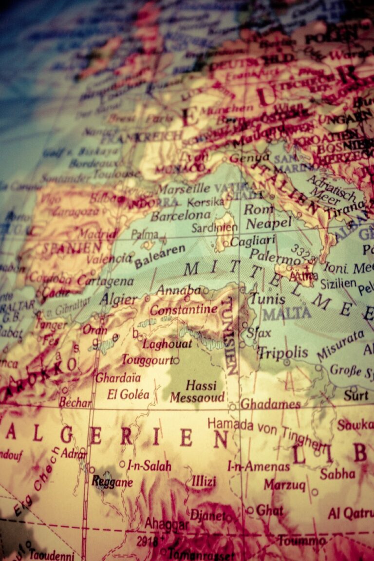
5 Best Digital Mapping Innovations for Indigenous Heritage
Why it matters: Indigenous communities worldwide are reclaiming their place on the map as cartographers develop innovative methods to honor traditional knowledge and cultural heritage.
The big picture: Modern mapmaking now goes beyond geographical boundaries to include sacred sites, traditional place names, and cultural narratives that have been passed down through generations.
What’s happening: From incorporating oral histories into digital platforms to using traditional symbols alongside modern mapping techniques, today’s cartographers are revolutionizing how we document and preserve indigenous heritage for future generations.
Disclosure: As an Amazon Associate, this site earns from qualifying purchases. Thank you!
P.S. check out Udemy’s GIS, Mapping & Remote Sensing courses on sale here…
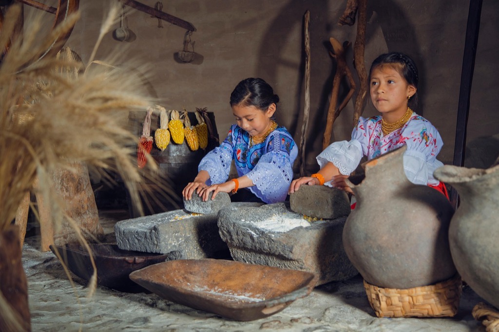
Documenting Traditional Place Names and Their Cultural Significance
Traditional place names serve as linguistic bridges connecting indigenous communities to their ancestral lands. Modern mapmakers increasingly recognize these names as essential geographical data that preserves cultural identity while providing accurate location references.
Recording Original Indigenous Names for Geographic Features
Document indigenous names through systematic field surveys using GPS coordinates and phonetic transcription systems. Work with native speakers to capture proper pronunciation and spelling variations across different dialects. Create multilingual datasets that include English translations alongside original language versions. Establish standardized naming conventions that respect linguistic accuracy while maintaining cartographic consistency. Archive these recordings in accessible digital formats that support both current mapping projects and future preservation efforts.
Preserving Oral Histories Behind Place Name Origins
Capture detailed oral accounts that explain the cultural significance and historical context of each place name. Record creation stories legends and ceremonial associations tied to specific geographic locations using high-quality audio equipment. Document seasonal activities traditional land uses and spiritual practices connected to named places. Organize these narratives into searchable databases that link stories directly to map coordinates. Ensure proper attribution and community consent for all recorded materials before incorporating them into mapping projects.
Explore the world of high-quality audio with this guide to stereo, surround sound, and home theater systems. This used book is in good condition.

Collaborating With Tribal Elders and Language Keepers
Establish formal partnerships with recognized tribal authorities and linguistic experts who serve as cultural gatekeepers. Schedule regular consultation sessions to verify name accuracy discuss cultural sensitivities and obtain proper permissions for documentation. Develop community-driven protocols that respect tribal sovereignty while advancing cartographic goals. Train mapping teams in cultural awareness and appropriate research methodologies before beginning fieldwork. Maintain ongoing relationships through project updates community presentations and collaborative decision-making processes that honor indigenous knowledge systems.
Incorporating Traditional Land Use Patterns Into Modern Cartography
You can transform your mapping projects by layering traditional Indigenous land use patterns with contemporary cartographic techniques. This integration creates comprehensive maps that honor ancestral knowledge while meeting modern spatial analysis needs.
Mapping Seasonal Migration Routes and Hunting Grounds
Traditional migration routes require careful documentation using GPS tracking combined with oral testimony from community members. You’ll create temporal layers showing seasonal movement patterns, marking key waypoints like river crossings and rest areas. Modern GIS software allows you to overlay historical routes with current topography, revealing how landscape changes affect traditional pathways. Include hunting territories with buffer zones and seasonal restrictions to accurately represent traditional resource access patterns.
Track vehicles and assets with the LandAirSea 54 GPS Tracker. Get real-time location alerts and historical playback using the SilverCloud app, with a long-lasting battery and discreet magnetic mount.

Identifying Sacred Sites and Ceremonial Locations
Sacred site mapping demands heightened sensitivity and community approval before documentation begins. You’ll work with tribal representatives to determine which locations can be publicly mapped versus those requiring restricted access protocols. Use discrete symbols and coordinate with communities to establish appropriate buffer zones around sensitive areas. Ceremonial locations often connect to astronomical alignments or natural features, requiring precise surveying to capture their spatial relationships and cultural significance within the broader landscape.
Documenting Traditional Resource Management Areas
Traditional resource zones showcase sophisticated Indigenous land management practices through detailed spatial analysis. You’ll map areas designated for specific harvesting activities like medicinal plant gathering, seasonal fishing, and controlled burning practices. Document traditional boundaries using both GPS coordinates and natural landmarks, creating detailed attribute tables that capture seasonal restrictions and sustainable harvesting protocols. Include vegetation management areas where Indigenous communities maintain specific plant communities through traditional ecological practices.
Creating Community-Driven Mapping Projects With Indigenous Partners
Building meaningful partnerships requires moving beyond traditional consultation toward genuine collaborative frameworks that honor Indigenous sovereignty and knowledge systems.
Establishing Tribal Consultation Protocols for Map Development
Develop formal consultation agreements that outline decision-making authority and project timelines before beginning any mapping work. Your protocols should specify who has veto power over sensitive locations and establish clear communication channels with tribal leadership.
Document consent procedures for each mapping phase and create standardized review processes that respect tribal governance structures. Schedule regular check-ins throughout the project lifecycle to ensure ongoing community input and address emerging concerns about data sensitivity or cultural appropriateness.
Training Indigenous Community Members in Modern Mapping Techniques
Provide hands-on training in GIS software like QGIS and ArcGIS alongside GPS data collection methods using handheld units and smartphone applications. Your training programs should combine technical skills with cultural mapping approaches that integrate traditional knowledge systems.
Experience vivid content on the Galaxy A16 5G's 6.7" display and capture stunning photos with its triple-lens camera. Enjoy peace of mind with a durable design, six years of updates, and Super Fast Charging.

Establish mentorship partnerships between experienced cartographers and community members to ensure knowledge transfer extends beyond basic tool usage. Focus on teaching data validation techniques and quality control processes that community members can apply independently to maintain long-term project sustainability.
Ensuring Indigenous Communities Retain Data Ownership Rights
Structure legal agreements that grant Indigenous communities full ownership of all collected spatial data and derivative mapping products. Your contracts should specify that communities control data access permissions and determine appropriate sharing protocols with outside researchers or government agencies.
Implement secure data storage systems that communities can access independently without relying on external organizations for data retrieval. Establish clear protocols for data deletion or transfer if partnerships end and ensure communities receive all raw datasets in open file formats they can use with various mapping software.
Using Technology to Digitally Preserve Indigenous Geographic Knowledge
Modern mapping technologies offer powerful tools for preserving Indigenous geographic knowledge while maintaining cultural integrity and community control.
Developing Interactive Digital Maps With Cultural Narratives
Interactive mapping platforms let you embed audio recordings, photographs, and video testimonies directly into geographic locations. You’ll create layered experiences where users click on specific areas to access traditional stories, historical accounts, and cultural explanations tied to that place. These digital storytelling maps preserve narrative context alongside spatial data, ensuring cultural knowledge remains connected to its geographic origins while remaining accessible for future generations.
Creating Multimedia Archives of Geographic Stories and Legends
Digital archives combine traditional mapping with multimedia storage systems that house oral histories, ceremonial recordings, and cultural documentation. You’ll organize content by geographic coordinates, seasonal cycles, and cultural themes, creating searchable databases that link stories to specific landscapes. These archives preserve Indigenous knowledge in multiple formats while maintaining metadata that documents recording dates, storytellers, and cultural context for each entry.
Building Mobile Apps for Indigenous Language Learning Through Geography
Mobile applications connect language preservation with geographic education by teaching place names, directional terms, and landscape vocabulary in Indigenous languages. You’ll integrate GPS functionality with language lessons that activate based on the user’s location, creating immersive learning experiences. These apps include pronunciation guides, cultural context, and traditional knowledge associated with specific geographic features, making language learning contextual and place-based.
Advocating for Indigenous Rights Through Accurate Historical Mapping
Modern cartographers play a crucial role in rectifying centuries of geographic misrepresentation that has undermined Indigenous communities’ legal and cultural claims. Through precise historical mapping, you can help establish the documented evidence needed to support territorial rights and cultural preservation efforts.
Correcting Colonial-Era Map Inaccuracies and Biases
Systematic map analysis reveals how colonial cartographers deliberately omitted Indigenous settlements and misrepresented territorial boundaries. You’ll find that overlaying historical surveys with Indigenous oral histories exposes these intentional distortions. Ground-truthing techniques using GPS coordinates and archaeological evidence help verify traditional accounts against colonial records. Digital correction projects now allow you to create amended versions of historical maps that accurately reflect Indigenous presence and land use patterns from the colonial period.
Explore history's most significant maps with *Great Maps*. This book delves into cartographic masterpieces and their historical context.

Supporting Land Rights Claims With Historical Geographic Evidence
Cartographic documentation provides essential legal evidence for Indigenous land rights cases in courts worldwide. You can strengthen these claims by creating comprehensive maps that layer historical treaties, traditional territories, and contemporary boundaries. Spatial analysis tools help establish continuous occupation patterns through time-series mapping of settlements and resource areas. Expert testimony mapping combines your technical skills with Indigenous knowledge to produce court-admissible evidence that demonstrates historical land connections and usage rights.
Challenging Harmful Stereotypes Through Respectful Cartographic Representation
Accurate population mapping counters colonial narratives of “empty lands” by documenting Indigenous settlement densities and urban centers. You can combat stereotypes by mapping sophisticated agricultural systems, trade networks, and permanent infrastructure that existed before European contact. Contemporary Indigenous mapping showcases thriving modern communities rather than perpetuating historical frozen-in-time imagery. Collaborative cartography ensures that your maps reflect Indigenous self-representation rather than external assumptions about traditional lifestyles and territorial claims.
Conclusion
These five approaches represent a powerful shift toward Indigenous-centered cartography that honors both cultural heritage and community sovereignty. When you support these mapping initiatives you’re contributing to a movement that challenges centuries of geographic misrepresentation and cultural erasure.
The transformation of mapmaking into a tool for cultural preservation demonstrates how technology can serve Indigenous communities rather than exploit them. Your understanding of these methods helps recognize the vital role that respectful cartography plays in supporting Indigenous rights and knowledge systems.
As this field continues to evolve you’ll likely see even more innovative approaches emerge that blend traditional wisdom with cutting-edge technology. The future of mapping lies in these collaborative partnerships where Indigenous voices guide the process and communities control their own geographic narratives.
Frequently Asked Questions
What is Indigenous cultural heritage cartography?
Indigenous cultural heritage cartography is the practice of creating maps that go beyond geographical features to include sacred sites, traditional place names, cultural narratives, and oral histories. This modern approach to mapmaking integrates traditional Indigenous knowledge with contemporary mapping techniques to preserve and document cultural heritage for future generations.
Why are traditional place names important in Indigenous mapping?
Traditional place names serve as vital connections between Indigenous communities and their ancestral lands. They carry cultural significance, historical context, and linguistic heritage that standard geographic names often lack. Documenting these names helps preserve Indigenous languages and maintains the cultural relationship between communities and their traditional territories.
How do modern technologies help preserve Indigenous geographic knowledge?
Modern technologies like GPS tracking, GIS software, and interactive digital maps help preserve Indigenous knowledge while maintaining cultural integrity. These tools create multimedia archives with audio recordings, photographs, and video testimonies linked to specific locations, making traditional stories and cultural explanations accessible to future generations.
What role do tribal elders play in Indigenous mapping projects?
Tribal elders and language keepers are essential collaborators who ensure accuracy and cultural sensitivity in mapping projects. They provide oral histories, validate traditional place names, share knowledge of sacred sites, and guide community protocols. Their involvement ensures that mapping efforts respect Indigenous knowledge systems and cultural values.
How can Indigenous mapping support land rights claims?
Indigenous mapping provides crucial legal evidence by documenting traditional land use patterns, settlement areas, and resource management practices. By overlaying historical surveys with Indigenous oral histories, these maps can expose colonial-era inaccuracies and biases, supporting legal cases for land rights and challenging geographic misrepresentations.
What are community-driven mapping protocols?
Community-driven mapping protocols are collaborative frameworks that respect Indigenous sovereignty and ensure communities retain control over their cultural data. These protocols include formal tribal consultation processes, decision-making authority structures, and legal agreements that grant Indigenous communities full ownership rights over collected spatial data and cultural information.
How do mobile applications support Indigenous language learning through mapping?
Mobile applications integrate GPS functionality with language lessons to create place-based educational experiences. These apps connect Indigenous language learning to specific geographic locations, allowing users to learn traditional place names, cultural stories, and linguistic heritage while physically present at relevant sites, making language education more immersive and culturally meaningful.