9 Must-Have Skills for Geospatial Data Scientists
As the world becomes increasingly data-driven, geospatial data scientists are the new navigators of this vast sea of information. Let’s chart a course through the essential skills needed to excel in this dynamic field.
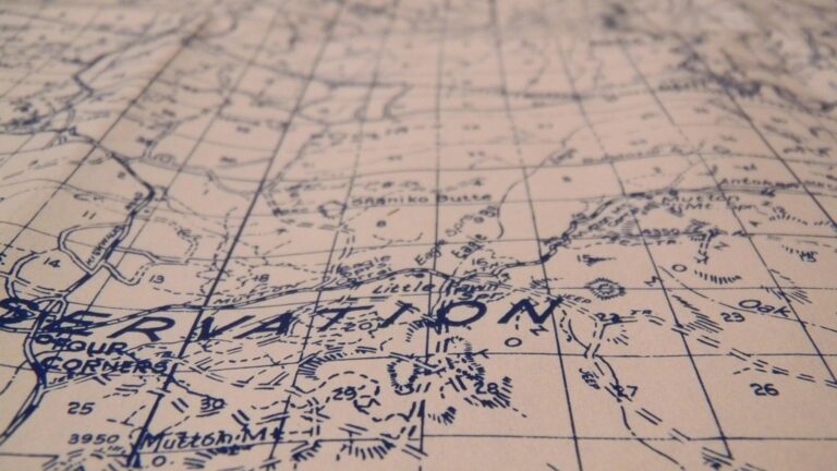
Geospatial science is the cornerstone of comprehending and interacting with our spatially bound world. Beyond maps and globes, it involves unraveling complex layers of data through geographic information systems (GIS), satellite imagery, and various analysis techniques.
From urban planning to conservation, this field demands a versatile mind navigating natural and human-made landscapes, resembling a detective armed with satellite images and vast data sets. Mastering geospatial concepts serves as a compass, crucial for deciphering data and unlocking limitless potential in understanding our world.
Disclosure: As an Amazon Associate, this site earns from qualifying purchases. Thank you!
P.S. check out Udemy’s GIS, Mapping & Remote Sensing courses on sale here…
1. Proficiency in GIS Software
Navigating the digital landscape of geospatial data requires a captain who is proficient in GIS software. Think of GIS as the ship that carries you through the sea of information. This software is the primary tool for creating, managing, and analyzing spatial data, and learning its ins and outs is non-negotiable.
Popular platforms like ArcGIS and QGIS are the industry standards, but there’s a whole fleet of specialized tools out there. Mastering them allows you to manipulate data to reveal patterns and relationships that are invisible to the naked eye. It’s like having an X-ray vision of the planet’s surface!
GIS software proficiency isn’t just about knowing which buttons to push; it’s about understanding how to apply these tools to solve real-world problems. Whether it’s tracking the spread of diseases or planning new infrastructure, GIS is your trusty sidekick. It’s a bit like learning to play an instrument; the more you practice, the more you can make the software sing to your tune.
2. Mastery of Spatial Analysis
Spatial analysis is the heart of what makes geospatial data scientists tick. It’s the process of modeling, interpreting, and visualizing geographic phenomena, and it requires a sharp analytical mind. By mastering spatial analysis, you can extract meaningful patterns and trends from raw data, turning abstract numbers into a story about a specific location.
This skill is about asking the right questions (and knowing how to answer them). For instance, how does proximity to a park affect property values? Or, what’s the best route for a new highway? It’s like being a craftsman, where data is your raw material and spatial analysis is your tool.
A deep understanding of spatial relationships and the principles of geography is crucial here. It allows you to paint a picture that is both accurate and insightful. Plus, when you throw in a bit of creativity, you can find solutions to spatial problems that others might miss. It’s a bit like playing chess; you need to think several moves ahead and understand the spatial interplay of the pieces.
3. Programming & Automation Skills

In the age of big data, programming, and automation are the jet engines propelling geospatial data scientists forward. Knowing how to code in languages like Python or R is akin to having a Swiss Army knife in your toolkit. It allows you to automate repetitive tasks, develop custom analysis tools, and even delve into predictive modeling.
The beauty of programming is that it lets you talk directly to the data. You can ask it to dance, and with the right algorithm, it’ll waltz with you. It’s a powerful way to scale your analyses and tackle larger, more complex datasets than you could manually.
Automation not only saves time but also opens the door to consistency and accuracy in your work. As I once learned while processing satellite imagery (the hard way), a single script can replace hours of manual labor. It’s like teaching a robot to do your chores so you can focus on the big-picture stuff.
4. Understanding of Remote Sensing
Remote sensing is the eagle-eyed skill of interpreting and analyzing data collected from satellites or aircraft. It’s a bit like having a bird’s-eye view of the world but with the ability to see beyond the visible spectrum. This skill is essential for monitoring environmental changes, assessing natural disasters, and even spying on changes in urban areas.
With remote sensing, you can watch the Earth breathe, see the growth of cities, and even monitor the health of crops. It’s a way to glean information about our planet without touching it, using sensors that detect reflected or emitted radiation.
Understanding the nuances of different sensors and the data they provide is key. It’s not just about looking at pretty satellite images—it’s about interpreting the stories they tell. Whether it’s the chlorophyll content of leaves or the temperature of urban heat islands, remote sensing gives you the superpower to see the invisible.
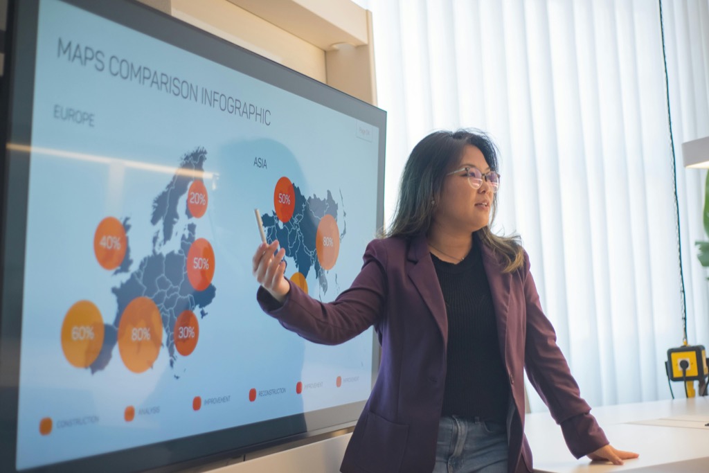
5. Data Visualization Expertise
Data visualization is the art of turning complex data into visual stories that anyone can understand. It’s the moment when numbers transform into insights, painting a picture worth a thousand spreadsheet cells. For geospatial data scientists, it’s a critical skill that bridges the gap between data and decision-makers.
Good data visualization is about clarity and impact. It’s not just about making colorful maps; it’s about choosing the right way to represent data to convey the intended message. Sometimes, a simple bar chart can be more powerful than a 3D map with all the bells and whistles.
Crafting visual narratives requires a good eye for design and an understanding of how people process information. I once turned a complex dataset into an interactive map that told a compelling story about urban growth, and it was a game-changer for the project. It’s like being a translator, turning the language of data into visuals that resonate with your audience.
6. Statistical and Mathematical Acumen
At the heart of geospatial analysis lies a solid foundation in statistics and mathematics. This skill set is the compass that guides the scientific rigor of your work. Without it, you’re navigating without stars, vulnerable to the whims of misleading correlations and biased data.
Statistical know-how allows you to quantify uncertainty, test hypotheses, and validate your findings. It’s a critical component of the scientific method, ensuring that your conclusions are not just educated guesses but are backed by robust analysis. It’s like having a truth serum for your data.
Mathematical acumen, particularly in areas like calculus and linear algebra, is essential for developing predictive models and understanding complex spatial relationships. Whether you’re calculating the spread of a wildfire or the potential impact of a new policy, these skills ensure your analyses stand up to scrutiny.
7. Database Management Know-How

Data is the lifeblood of geospatial science, and knowing how to manage it effectively is crucial. Database management involves organizing, storing, and retrieving data efficiently. It’s like being the librarian of a vast digital library where the ‘books’ are constantly changing and updating.
Proficiency in database languages like SQL and familiarity with database structures are key. They allow you to handle large datasets with ease, ensuring that your analyses are both swift and accurate. It’s like knowing the secret passages in a labyrinth, allowing you to navigate through data with confidence.
Effective database management also involves understanding the principles of data integrity and security. After all, what good is data if it’s not reliable or safe? It’s a bit like being a gatekeeper, ensuring that only the right information gets in and out.
8. Machine Learning & AI Integration
Machine learning and AI are the frontier technologies reshaping the landscape of geospatial science. By integrating these skills, geospatial data scientists can harness the power of algorithms to uncover patterns and predictions that are beyond human capacity to discern.
This realm is about teaching computers to learn from data, recognize patterns, and make decisions with minimal human intervention. It’s a bit like training a super-smart pet to do tricks with data—except these tricks can predict natural disasters or optimize city planning.
Understanding the principles of machine learning and AI, and knowing how to apply them to geospatial datasets, can dramatically increase the value of your analyses. Whether it’s through neural networks or decision trees, these tools can provide insights that are both profound and actionable.
9. Continuous Learning & Adaptation
The geospatial field is as dynamic as the Earth’s surface itself, constantly shifting with technological advances and new data sources. Continuous learning is not just a nice-to-have; it’s a must-have. It’s about staying curious and adaptable, ready to explore the next horizon.
This means keeping abreast of the latest tools, techniques, and theories. It’s a commitment to professional growth that ensures your skills never become outdated. Just as the Earth’s surface evolves, so too must your expertise.
Adaptation is also about resilience. It’s about learning from mistakes (like that time I misprojected a dataset and created a mini ‘Bermuda Triangle’ in the data) and being willing to pivot when new information comes to light. It’s about embracing the journey of lifelong learning as both a necessity and a pleasure.
Embarking on the journey of a geospatial data scientist is an adventure in a world where ‘X’ marks not just the spot, but a treasure trove of insights. With these must-have skills, you’re well-equipped to chart a course to discovery and innovation.