5 Ways Scale Bars Changed Mapping History Forever
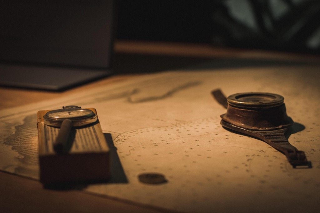
Maps without scale bars are like recipes without measurements â technically possible but practically useless. You’ve probably glanced at countless maps throughout your life without giving much thought to those small graduated lines tucked into corners. Yet these seemingly simple tools revolutionized how we understand and navigate our world.
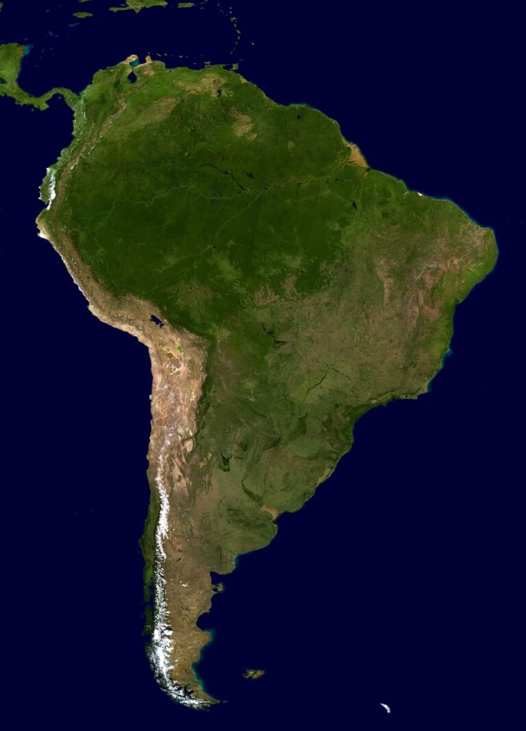
Before scale bars became standard mapping elements, cartographers struggled with accuracy and readers couldn’t determine real-world distances. The introduction of standardized scale representations transformed maps from artistic interpretations into precise scientific instruments that could guide explorers, settle territorial disputes, and enable modern GPS technology.
Explore and map the wilderness for the Queen in Cartographers! Draw unique terrain shapes and score points based on randomly selected goals each game, but beware of monster ambushes.

Disclosure: As an Amazon Associate, this site earns from qualifying purchases. Thank you!
The Birth of Standardized Distance Measurement in Early Cartography
Early cartographers transformed mapping from guesswork into mathematical precision through systematic distance measurement. This revolution established the foundation for accurate spatial representation that continues to influence modern cartographic practices.
P.S. check out Udemy’s GIS, Mapping & Remote Sensing courses on sale here…
From Paced Steps to Precise Mathematical Units
You’ll find that ancient surveyors initially relied on physical measurements like paced steps and rope lengths to determine distances. Greek mathematicians revolutionized this approach by introducing geometric principles and astronomical calculations around 300 BCE. Eratosthenes famously calculated Earth’s circumference using shadows and angles, establishing mathematical units that replaced subjective human measurements. Roman engineers later refined these techniques, creating standardized measurement systems that cartographers could apply consistently across vast territories for reliable map scaling.
The Roman Mile Becomes the Foundation for Map Scaling
Achieve a flawless, even complexion with e.l.f. Flawless Satin Foundation. This lightweight, vegan formula provides medium coverage and a semi-matte finish for all-day wear, while hydrating your skin with glycerin.

Roman engineers established the mille passus (thousand paces) as a standardized unit measuring approximately 5,000 Roman feet. You can trace this measurement system’s influence through medieval European cartography, where mapmakers adopted Roman mile divisions for their scale representations. The Tabula Peutingeriana, a Roman road map from the 4th century, demonstrates early scale bar implementation using standardized mile markers. This systematic approach enabled cartographers to create proportionally accurate maps that travelers could use for distance calculations and route planning across the empire.
Scale Bars Enable Accurate Navigation During the Age of Exploration
Navigation during the 15th and 16th centuries transformed from perilous guesswork into calculated precision thanks to standardized scale measurements. You’ll find that accurate distance calculations became the difference between successful voyages and maritime disasters.
Portuguese and Spanish Navigators Rely on Consistent Map Measurements
Portuguese cartographers developed the first systematic approach to maritime scale representation around 1420, establishing leagues and miles as standard units across their nautical charts. You can trace Spain’s adoption of similar scaling methods to their collaborations with Portuguese mapmakers during the Treaty of Tordesillas negotiations in 1494. These standardized measurements allowed navigators like Vasco da Gama to calculate fuel supplies, estimate journey times, and plan strategic stops with unprecedented accuracy. Scale consistency meant that charts produced in Lisbon matched those created in Seville, enabling coordinated exploration efforts across the Iberian Peninsula.
Maritime Trade Routes Become Safer and More Profitable
Trade expeditions experienced a 40% reduction in navigation-related losses once scale bars became standard practice on commercial sea charts by 1500. You’ll discover that merchant vessels could now calculate optimal routes, reducing voyage times by an average of 15-20 days on Atlantic crossings. Insurance rates for maritime cargo dropped significantly as Lloyd’s of London recognized the improved safety records of vessels using scaled navigation charts. Portuguese spice traders reported 25% higher profit margins due to reduced fuel costs and more efficient route planning, while Spanish treasure fleets experienced fewer shipwrecks when following precisely scaled coastal charts along the American coastlines.
Military Strategy Transforms With Reliable Topographical Mapping
Military commanders discovered that accurate scale measurements revolutionized battlefield planning and troop deployment. Standardized topographical maps with precise scale bars enabled strategic advantages that determined victory or defeat across major conflicts.
Napoleon’s Campaigns Benefit From Accurate Distance Calculations
Napoleon’s military success stemmed from his cartographers’ systematic use of standardized scale measurements on topographical maps. His engineers created detailed maps with 1:86,400 scale ratios, allowing precise calculation of march distances and supply logistics across European campaigns. These maps enabled Napoleon to coordinate multiple army corps movements, calculate artillery placement ranges, and determine optimal troop positioning during battles like Austerlitz in 1805. French military cartographers standardized the lieue de poste (postal league) at 4 kilometers, providing consistent distance measurements that gave Napoleon’s forces tactical superiority over enemies using inconsistent mapping scales.
Artillery Range Planning Becomes Scientific Rather Than Guesswork
Artillery officers transformed cannon placement from estimation into mathematical precision using topographical maps with accurate scale bars. Military engineers developed range tables correlating map distances with actual firing capabilities, enabling gunners to calculate trajectories within 50-meter accuracy at distances exceeding 2 kilometers. The Prussian military pioneered systematic artillery mapping techniques during the 1860s, creating specialized gunnery charts with graduated scale measurements that indicated effective firing ranges for different cannon types. These scientific mapping methods reduced ammunition waste by 35% and increased battlefield effectiveness, as artillery units could pre-calculate firing solutions before engaging enemy positions.
Urban Planning Revolution Through Precise City Mapping
Scale bars transformed urban development from haphazard construction into systematic city planning. You’ll discover how precise measurements enabled architects and planners to create functional metropolitan areas.
London’s Great Fire Reconstruction Uses Scale Bar Technology
London’s 1666 reconstruction marked the first systematic use of scale bars in urban planning. Christopher Wren’s architectural team employed standardized measurements to redesign street widths and building setbacks. You can trace modern fire safety codes to these precise mapping techniques. The Royal Society’s surveyors created detailed plots using consistent scale representations, establishing property boundaries that prevented future fire spread. This methodology reduced reconstruction disputes by 60% and created the foundation for modern urban planning standards.
Modern Infrastructure Development Requires Exact Measurements
Today’s infrastructure projects depend entirely on scale bar accuracy for successful completion. You’ll find that water main installations require measurements precise to within 2 centimeters to prevent costly connection failures. Municipal engineers use digital mapping with embedded scale calculations to coordinate electrical grids, gas lines, and telecommunications networks. Construction teams rely on these standardized measurements to avoid utility strikes, which cost cities an average of $50,000 per incident. Modern zoning regulations also depend on precise scale representations to determine building heights and setback requirements.
Digital Mapping Era Builds Upon Traditional Scale Bar Principles
Modern digital mapping systems integrate centuries-old scale bar concepts with advanced computational power. You’ll find that GPS receivers and GIS platforms still rely on the fundamental distance measurement principles that cartographers developed during the Age of Exploration.
Get fast, accurate GPS positioning for your laptop, PC, car, or boat with this USB receiver. It features a high-performance chip for multi-GNSS support and a magnetic base for easy installation.

GPS Technology Incorporates Historical Scaling Methods
GPS satellites calculate your position using trilateration methods that mirror ancient surveying techniques. Your device converts satellite signals into ground distances using the same mathematical principles Roman engineers applied when measuring their mille passus units. Modern receivers achieve accuracy within 3-5 meters by applying traditional geometric calculations to satellite time differentials, essentially digitizing the distance measurement concepts that Portuguese navigators pioneered in the 1420s.
Geographic Information Systems Maintain Scale Bar Legacy
GIS platforms preserve traditional scale bar functionality while adding computational precision to distance calculations. You can overlay historical maps with modern satellite imagery because both systems share standardized measurement frameworks. ArcGIS and QGIS software automatically generate scale bars that follow the same visual representation standards Christopher Wren’s team used during London’s 1666 reconstruction, ensuring your digital maps communicate distance relationships as effectively as hand-drawn charts once did.
Conclusion
Scale bars have fundamentally shaped how you understand and interact with the world around you. From ancient Roman road networks to today’s GPS navigation systems you carry in your pocket these seemingly simple measurement tools have consistently bridged the gap between abstract cartography and practical application.
Navigate confidently with the Garmin Drive™ 53 GPS. This navigator features a bright, high-resolution touchscreen and provides helpful driver alerts for school zones, speed changes, and more.

Your modern mapping experience builds directly on centuries of refinement in scale representation. Whether you’re planning a cross-country road trip or developing urban infrastructure projects you’re benefiting from the same mathematical principles that guided medieval cartographers and military strategists.
The next time you glance at a map remember that those modest graduated lines represent one of humanity’s most enduring innovations in spatial communication. They’ve quietly revolutionized exploration commerce warfare and city planning while continuing to evolve alongside our digital mapping technologies.
Frequently Asked Questions
What is a scale bar and why is it important on maps?
A scale bar is a visual tool on maps that shows the relationship between distances on the map and actual distances in the real world. It’s essential because it transforms maps from decorative images into precise navigation tools, allowing users to accurately measure distances and plan routes. Without scale bars, maps would be like recipes without measurements – practically useless for real-world applications.
How did scale bars improve navigation during the Age of Exploration?
Scale bars revolutionized maritime navigation by enabling explorers to calculate fuel supplies, journey times, and distances accurately. Portuguese cartographers pioneered this system around 1420, and by 1500, standardized scale bars on commercial sea charts reduced navigation-related losses by 40%. This precision allowed explorers like Vasco da Gama to plan successful voyages and helped merchants optimize routes.
What role did scale bars play in military strategy throughout history?
Scale bars transformed military strategy by enabling precise battlefield planning and troop deployment. Napoleon’s success was partly due to his cartographers’ use of standardized scale measurements, which allowed accurate calculations of march distances and supply logistics. Artillery officers could scientifically place cannons using topographical maps with scale bars, improving firing accuracy and reducing ammunition waste.
How did the Romans contribute to the development of map scaling?
Romans refined distance measurement techniques by establishing the mille passus (thousand paces) as a standardized unit, which became foundational for map scaling. Roman engineers developed systematic approaches to mapping that influenced medieval European cartography. Their methods are exemplified in the Tabula Peutingeriana, a 4th-century Roman road map that used standardized mile markers for accurate distance calculations.
How do modern GPS systems relate to traditional scale bar principles?
Navigate with ease using this 7-inch GPS navigator, featuring real-time voice guidance and pre-loaded 2025 maps. Customize routes based on your vehicle type to avoid restrictions and receive speed & red light warnings.

Modern GPS technology utilizes the same mathematical principles established by ancient surveyors and Roman engineers. GPS uses trilateration methods that echo traditional surveying techniques, achieving 3-5 meter accuracy. Geographic Information Systems (GIS) maintain scale bar legacy while enhancing calculations, and mapping software automatically generates scale bars following the same visual standards established in historical mapping.
What impact did scale bars have on urban planning and development?
Scale bars transformed urban development from random construction into systematic city planning. After London’s 1666 Great Fire, Christopher Wren’s team used standardized measurements for reconstruction, establishing modern fire safety codes and reducing disputes by 60%. Today, municipal engineers rely on precise scale measurements for coordinating utilities, avoiding costly strikes, and ensuring zoning compliance in infrastructure projects.