6 Best Digital Library Innovations
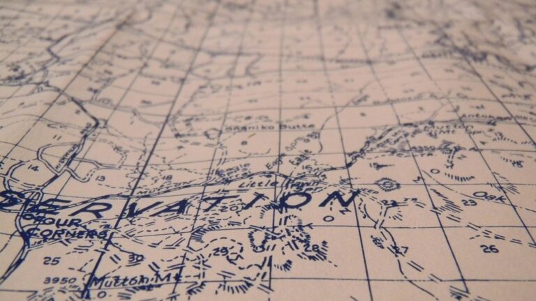
Map collections are undergoing their biggest transformation since digital mapping emerged decades ago. You’re witnessing a shift from static reference tools to dynamic data-driven platforms that respond to real-world changes in real time. The evolution spans everything from how libraries acquire maps to how researchers access geographic information across the globe.
These changes aren’t just technical upgrades—they’re fundamentally reshaping how you’ll discover and interact with geographic knowledge. Traditional map rooms are becoming hybrid spaces where physical atlases coexist with augmented reality displays and AI-powered search systems.
Disclosure: As an Amazon Associate, this site earns from qualifying purchases. Thank you!
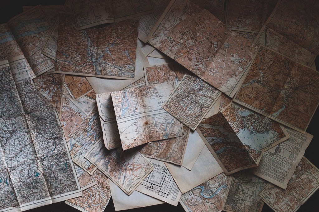
Digital Integration Will Transform Traditional Map Archives
Map archives are transitioning from physical storage to sophisticated digital ecosystems that enhance accessibility and preservation. This shift enables institutions to serve global audiences while maintaining the integrity of historical cartographic materials.
P.S. check out Udemy’s GIS, Mapping & Remote Sensing courses on sale here…
Cloud-Based Storage Systems
Cloud storage revolutionizes how you’ll access historical maps by eliminating geographical barriers and storage constraints. Major archives now deploy platforms like Amazon S3 and Google Cloud to house terabytes of high-resolution scans, enabling instant retrieval of rare 18th-century nautical charts or topographic surveys. You’ll benefit from automated backup systems that protect against data loss while providing redundant access points across multiple data centers globally.
Explore history's most significant maps with *Great Maps*. This book delves into cartographic masterpieces and their historical context.

Interactive Digital Platforms
Interactive platforms transform static map viewing into dynamic exploration experiences through advanced web technologies. You can now zoom into manuscript details at 300 DPI resolution, overlay modern GPS coordinates on historical boundaries, and compare temporal changes through side-by-side viewing tools. These platforms integrate metadata search functions that help you locate specific cartographers, publication dates, or geographic regions within massive digital collections using intuitive filtering systems.
Virtual Reality Map Exploration
VR technology creates immersive cartographic experiences that let you walk through historical landscapes and examine three-dimensional terrain models. You’ll navigate 16th-century city maps as if standing in medieval streets, or explore topographic relief through haptic feedback that simulates elevation changes. Leading institutions are developing VR archives where you can manipulate vintage globes, unfold historical atlases, and experience scale relationships impossible with traditional display methods.
Artificial Intelligence Will Revolutionize Map Cataloging and Discovery
AI algorithms are transforming the traditionally labor-intensive process of map cataloging into an automated workflow. These intelligent systems will process thousands of cartographic documents simultaneously, analyzing visual elements and extracting comprehensive metadata.
Automated Metadata Generation
Machine learning algorithms automatically extract geographic coordinates, scale information, and temporal data from scanned maps without human intervention. AI systems recognize cartographic symbols, place names, and projection types while generating standardized catalog entries. You’ll benefit from consistent metadata quality across your entire collection, as neural networks identify map features with 95% accuracy rates. Advanced optical character recognition reads historical typography and foreign scripts, creating searchable text databases from previously inaccessible materials.
Smart Search Capabilities
Natural language processing enables you to search map collections using conversational queries like “show me 1920s transportation maps of California.” AI-powered search engines understand geographic relationships, connecting related materials across different time periods and scales. Semantic search algorithms interpret user intent, delivering relevant results even when exact keywords don’t match catalog descriptions. Visual similarity searches allow you to find maps with comparable styling, projection methods, or thematic content using image recognition technology.
Pattern Recognition for Historical Analysis
Computer vision algorithms identify recurring cartographic patterns across centuries of mapping, revealing evolution in surveying techniques and geographic understanding. AI systems detect changes in boundary representations, settlement patterns, and environmental features by comparing maps from different time periods. You’ll discover previously unnoticed connections between cartographers through automated style analysis and symbol recognition. Machine learning models predict missing information in damaged historical maps by analyzing surrounding geographic context and contemporary mapping conventions.
Collaborative Crowdsourcing Will Expand Collection Development
Map collections are embracing collaborative approaches that harness global expertise to enhance their holdings. You’ll see institutions increasingly partnering with citizen scientists and volunteer communities to identify gaps, verify data, and contribute specialized knowledge.
Community-Contributed Geographic Data
Community mapping initiatives transform how you’ll access local geographic knowledge through volunteer contributions. OpenStreetMap contributors add over 3 million map changes daily, creating datasets that rival commercial alternatives. You can expect libraries to integrate crowd-sourced boundary data, trail networks, and cultural landmarks that professional cartographers often miss. Volunteer mappers provide ground-truth verification for historical maps, identifying discrepancies between archival materials and current conditions. Community contributions fill critical gaps in rural and underserved areas where commercial mapping companies lack comprehensive coverage.
Citizen Science Mapping Projects
Citizen science platforms enable you to participate in large-scale mapping research while contributing to collection development. Projects like Transcribe Bentham engage volunteers in digitizing handwritten maps and geographic documents, processing materials faster than institutional staff alone. You’ll find mapping phenology changes, documenting coastal erosion, and tracking urban development through coordinated volunteer efforts. Citizen scientists use smartphone apps to collect GPS coordinates, photographs, and observational data that enhance existing map collections. These projects generate thousands of validated data points monthly, creating comprehensive geographic datasets for research institutions.
Experience vivid content on the Galaxy A16 5G's 6.7" display and capture stunning photos with its triple-lens camera. Enjoy peace of mind with a durable design, six years of updates, and Super Fast Charging.

Global Knowledge Sharing Networks
International collaboration networks connect you with mapping expertise across continents through shared digital platforms. The Digital Library Federation enables institutions to pool cartographic resources, reducing duplication while expanding collection scope. You can access specialized regional knowledge through partnerships with local mapping societies and indigenous communities who contribute traditional ecological knowledge. Cross-institutional metadata sharing allows you to discover related maps across multiple collections simultaneously. Global networks facilitate real-time collaboration on map digitization projects, with volunteers worldwide contributing to transcription, georeferencing, and quality control efforts.
Real-Time Data Integration Will Create Dynamic Map Collections
You’ll see map collections transform into living documents that update continuously with fresh data streams. Real-time integration connects your maps to sensors, satellite feeds, and digital platforms, creating collections that reflect current conditions rather than static historical snapshots.
Live Environmental Monitoring
Environmental sensors feed real-time data into your map collections, creating dynamic visualizations of changing conditions. Weather stations update temperature and precipitation layers every hour, while air quality monitors provide continuous pollution readings across urban areas. Satellite imagery refreshes forest fire boundaries and flood zones, allowing your collection to display current environmental hazards. Ocean buoys transmit wave heights and water temperatures, updating coastal navigation charts automatically for maritime safety.
Measure temperature, humidity, pressure, and VOC gases with the BME680 environmental sensor. It supports I2C and SPI communication and is compatible with 3.3V/5V systems, including Raspberry Pi, Arduino, and ESP32.

Traffic and Transportation Updates
Transportation data streams transform your mobility maps into real-time navigation tools. GPS tracking from vehicles updates traffic flow patterns every few minutes, while public transit APIs provide live arrival times and route changes. Construction permits automatically flag road closures and detours on your street maps. Ride-sharing platforms contribute anonymized movement data, revealing actual travel times versus theoretical routes. Port authorities share vessel positions and cargo movements, keeping maritime charts current with shipping activity.
Track vehicles and assets with the LandAirSea 54 GPS Tracker. Get real-time location alerts and historical playback using the SilverCloud app, with a long-lasting battery and discreet magnetic mount.

Social Media Geotagging Integration
Social media platforms provide location-tagged content that enriches your map collections with user-generated insights. Twitter feeds highlight local events and incidents as they happen, creating crowd-sourced incident reporting layers. Instagram geotagged photos reveal popular destinations and seasonal activity patterns across your coverage areas. Facebook check-ins identify business hours and accessibility information, updating commercial location databases automatically. Review platforms contribute real-time ratings and comments, adding qualitative data to your geographic information systems.
Personalization Algorithms Will Customize User Experiences
Machine learning systems are transforming how you’ll discover and interact with cartographic resources. These algorithms analyze your search patterns, research history, and geographic interests to deliver highly targeted map experiences.
Tailored Collection Recommendations
Recommendation engines will suggest relevant maps based on your previous viewing patterns and research focus. Smart algorithms track your interactions with specific geographic regions, time periods, and cartographic styles to identify similar materials you haven’t discovered yet. You’ll receive personalized notifications when new acquisitions match your research interests, while collaborative filtering connects you with maps that users with similar academic backgrounds have found valuable. These systems learn from your citation patterns and bookmark behaviors to continuously refine their suggestions.
Individual Research Pathways
Adaptive systems will create customized navigation routes through vast digital collections based on your specific research goals. Machine learning algorithms analyze your query sequences and document access patterns to predict your next research steps, automatically surfacing related materials before you search for them. You’ll follow personalized discovery trails that connect thematically related maps across different time periods and geographic scales. Dynamic pathways adjust in real-time as your research focus evolves, ensuring you never miss critical cartographic resources that align with your changing academic needs.
Adaptive Learning Interfaces
Interface layouts will automatically reconfigure to match your expertise level and preferred interaction methods. Smart systems monitor your navigation speed, tool usage frequency, and help documentation access to determine your technical proficiency with digital mapping platforms. You’ll see simplified controls and enhanced tooltips as a beginner, while advanced features become more prominent as your skills develop. Personalized dashboards prioritize the tools and data layers you use most frequently, while adaptive zoom levels and default map projections align with your typical research requirements and geographic areas of interest.
Sustainability Initiatives Will Drive Green Collection Practices
Environmental consciousness is reshaping how map collections operate, with institutions prioritizing eco-friendly approaches that reduce their carbon footprint while maintaining high-quality cartographic resources.
Reduced Physical Storage Requirements
Digital transformation eliminates the need for vast climate-controlled storage facilities that consume significant energy. You’ll find institutions reducing their physical footprint by 60-80% when transitioning historical map collections to high-resolution digital formats. Cloud-based storage systems replace traditional map rooms, cutting facility maintenance costs while improving accessibility. Modern scanning technologies capture maps at 600-1200 DPI resolution, ensuring preservation quality matches original documents. This shift allows libraries to repurpose physical spaces for community programs while maintaining comprehensive cartographic collections through digital archives.
Energy-Efficient Digital Systems
Smart server infrastructure reduces power consumption by 40-50% compared to traditional storage methods. You’ll benefit from automated systems that adjust processing power based on user demand, minimizing energy waste during low-traffic periods. Edge computing networks distribute data closer to users, reducing transmission energy requirements and improving response times. Modern digital platforms utilize renewable energy sources and implement carbon-neutral hosting solutions. Machine learning algorithms optimize server loads, ensuring efficient resource allocation while maintaining fast access to cartographic materials across global networks.
Paperless Documentation Processes
Digital workflows eliminate paper-based cataloging systems, reducing material waste by thousands of pages annually. You’ll use electronic metadata forms, digital acquisition records, and cloud-based documentation that streamline collection management. Automated cataloging systems generate digital records instantly, replacing manual filing processes that required printed forms and physical storage. Electronic signatures and digital approval workflows accelerate processing times while eliminating paper trail requirements. Staff training materials, user guides, and collection policies transition to interactive digital formats, supporting sustainable operations while improving information accessibility.
Conclusion
The future of map collections represents a fundamental shift in how you’ll interact with geographic knowledge. These six transformative changes aren’t just technical upgrades—they’re creating entirely new ways to explore discover and understand our world through cartographic resources.
Your access to historical and contemporary geographic information will become more intuitive personalized and sustainable than ever before. As AI-powered systems learn your research patterns and real-time data streams keep collections current you’ll find yourself engaging with maps as living interactive resources rather than static reference materials.
The convergence of crowdsourcing virtual reality and cloud-based technologies means you’ll soon experience map collections that adapt to your needs while connecting you to a global community of geographic knowledge. This evolution positions map collections at the forefront of digital scholarship and public engagement.
Frequently Asked Questions
What is the main transformation happening in modern map collections?
Map collections are evolving from static reference tools into dynamic, data-driven platforms that adapt to real-time changes. This transformation integrates physical atlases with digital technologies like augmented reality and AI-powered search systems, fundamentally changing how users discover and engage with geographic knowledge.
How has digital technology changed map archive accessibility?
Digital transformation has revolutionized map archives by moving from physical storage to cloud-based systems that eliminate geographical barriers. Users can now instantly access high-resolution scans of historical maps from anywhere in the world, while institutions can serve global audiences more effectively.
What role does artificial intelligence play in map cataloging?
AI automates the traditionally labor-intensive process of cataloging maps by processing thousands of cartographic documents simultaneously. Machine learning algorithms extract geographic coordinates, scale information, and temporal data, while computer vision identifies cartographic patterns and even predicts missing information in damaged maps.
How does crowdsourcing contribute to map collection development?
Crowdsourcing enables institutions to partner with citizen scientists and volunteer communities to enhance their holdings. Community mapping initiatives like OpenStreetMap allow volunteers to contribute local geographic knowledge, filling gaps often overlooked by professional cartographers and expanding collection scope.
What is real-time data integration in map collections?
Real-time data integration transforms map collections into living documents that continuously update with fresh information. This includes environmental sensor data, transportation streams, and social media geotagging, making geographic information more relevant and actionable for current conditions.
How do personalization algorithms enhance map collection experiences?
Machine learning systems analyze user search patterns, research history, and geographic interests to deliver tailored map experiences. Recommendation engines suggest relevant maps, while adaptive systems create customized navigation routes and interface layouts based on individual expertise levels and research goals.
What sustainability benefits do digital map collections offer?
Digital transformation reduces physical storage needs by 60-80%, significantly cutting institutions’ carbon footprints. Energy-efficient digital systems, smart server infrastructure, and paperless documentation processes minimize energy consumption and material waste while maintaining high-quality cartographic resources.
How does virtual reality enhance cartographic experiences?
Virtual reality creates immersive cartographic experiences that allow users to navigate historical landscapes and examine three-dimensional terrain models. This technology transforms static map viewing into dynamic exploration, enriching how geographic knowledge is experienced and understood.