7 Ideas for Creative Uses of Topographical Maps That Transform Art
Topographical maps aren’t just for hikers and geographers anymore. These detailed elevation guides have evolved into versatile tools that can transform your home decor wall art and outdoor adventures in unexpected ways.
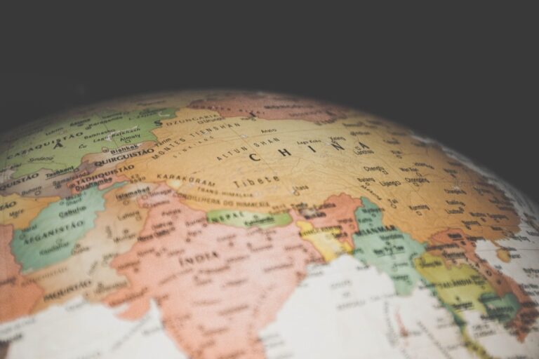
Explore Texas with this comprehensive atlas. It features detailed topographic maps, back roads, and points of interest for outdoor enthusiasts.

From DIY craft projects to educational activities you can discover seven innovative approaches that’ll help you reimagine these terrain treasures. Whether you’re looking to create stunning visual displays or planning your next outdoor expedition these creative applications will unlock the hidden potential sitting in your map collection.
Disclosure: As an Amazon Associate, this site earns from qualifying purchases. Thank you!
Transform Your Walls With Topographical Map Art
Topographical maps create stunning visual displays that showcase the natural contours and elevation patterns of your favorite landscapes. These detailed cartographic pieces transform ordinary wall space into conversation-starting focal points.
P.S. check out Udemy’s GIS, Mapping & Remote Sensing courses on sale here…
Create Large-Scale Wall Murals
Mount multiple adjacent topographical maps to create expansive wall murals spanning entire rooms. Choose maps covering continuous geographic areas like mountain ranges or coastal regions for seamless visual flow. Use professional mounting adhesive to ensure maps align perfectly at section boundaries. Consider laminating maps before installation to protect against humidity and fading. Large-scale displays work best on uninterrupted wall surfaces measuring 8-12 feet wide.
Frame Individual Map Sections as Gallery Pieces
Select compelling topographical features like peaks, valleys, or river systems as standalone framed artwork. Choose frames with wide matting to highlight the intricate contour details and elevation markings. Group 3-4 related map sections in matching frames for cohesive gallery walls. Professional framing with UV-protective glass preserves map colors and prevents deterioration. Position frames at eye level with consistent spacing of 2-3 inches between pieces for optimal visual impact.
Design Custom Canvas Prints
Turn your photos into beautiful framed canvas art. Our custom prints are perfect for personalized gifts and home decor, showcasing your memories with vibrant clarity. Enjoy fast shipping directly from our Houston warehouse.

Convert high-resolution topographical map scans into large-format canvas prints for modern wall displays. Digital printing allows you to enhance contrast and color saturation while maintaining cartographic accuracy. Choose canvas sizes between 24×36 and 40×60 inches for maximum visual impact. Wrap-around edges eliminate the need for traditional framing while creating contemporary appeal. Professional print services ensure archival quality inks that resist fading over decades.
Design Unique Home Décor Items
Transform your topographical maps into functional art pieces that serve both practical and aesthetic purposes throughout your living space.
Craft Decorative Serving Trays and Coasters
Laminate topographical map sections between clear acrylic sheets to create waterproof serving trays. Cut smaller map portions into 4-inch squares and seal them with resin coating for matching coaster sets. These functional pieces showcase detailed elevation contours while protecting your furniture. You’ll create conversation starters that highlight your favorite hiking destinations or hometown terrain features.
Create stunning projects with these durable, clear acrylic sheets. Each 1/8" thick panel is easy to cut and offers excellent scratch and UV resistance for versatile indoor/outdoor use.

Create Lampshades With Map Overlays
Replace standard lampshade covers with translucent topographical map prints that cast intricate shadow patterns when illuminated. Use lightweight paper maps or create custom prints on vellum paper for drum-style shades. The contour lines create stunning geometric shadows on walls and ceilings. Mount maps on the interior surface of existing lampshades using spray adhesive for easy application.
Create elegant invitations and crafts with this 50-sheet pack of 8.5 x 11 inch translucent vellum paper. The 68lb weight vellum is printer-friendly for both laser and inkjet printers and works well with various drawing mediums.

Make Throw Pillows With Map Patterns
Get a set of 4 Utopia Bedding throw pillows to enhance your sofa, bed, or couch. These 18x18 inch pillows are filled with siliconized fibers for a plush and resilient feel.

Print high-resolution topographical map scans onto fabric transfer sheets to create custom pillow covers. Select maps featuring areas with dense contour lines for the most visually striking patterns. Use cotton or linen fabrics for durability and comfort. You can highlight specific trail systems or mountain ranges that hold personal significance while adding unique texture to your living room décor.
Build Educational Tools for Learning
Transform topographical maps into powerful educational resources that make complex geographical concepts tangible and engaging for students of all ages.
Construct 3D Terrain Models
Enhance your tabletop games with this set of six highly detailed, 3D printed stone boulder terrain pieces. Perfect for 28mm miniatures, these paintable PLA plastic models add immersive scenery to any battlefield.
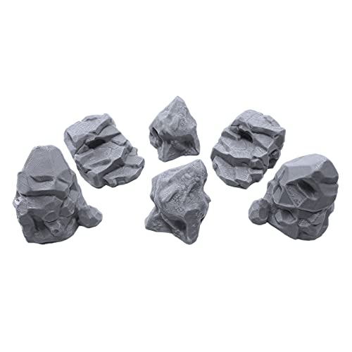
Build three-dimensional terrain models by layering multiple topographical maps at different elevation intervals. Cut each contour line carefully and stack the layers using foam board or cardboard as your base material. Secure the layers with adhesive and sand the edges smooth to create realistic mountain ridges and valley formations. Paint the finished model with earth tones to enhance visual appeal and help students understand elevation changes through tactile exploration.
Develop Geography Study Materials
Create custom study guides by laminating topographical map sections and using dry-erase markers for interactive lessons. Design matching games where students identify landforms like ridges, saddles, and depressions by comparing map symbols to real terrain features. Develop worksheets that challenge learners to calculate slope gradients, measure distances using map scales, and determine hiking routes between specific coordinates. Incorporate these materials into lesson plans for enhanced geographical literacy.
Create Interactive Learning Games
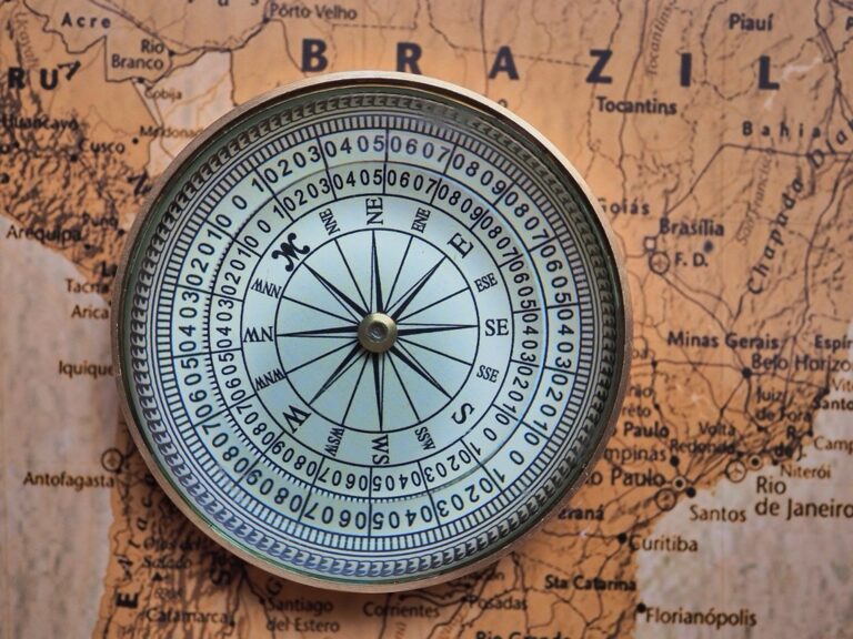
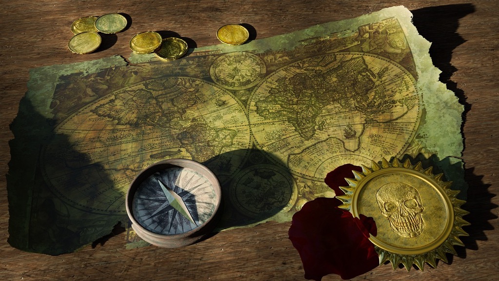
Design treasure hunt activities using topographical maps where students follow compass bearings and elevation clues to locate hidden objects. Establish orienteering courses in schoolyards or local parks using map-based navigation challenges that teach cardinal directions and terrain interpretation. Organize competitive map-reading races where teams race to identify specific geographical features, calculate elevation gains, and plot the shortest routes between designated checkpoints using only topographical information.
Craft Personalized Gifts and Keepsakes
Transform topographical maps into meaningful presents that capture special places and memories. These custom creations combine geographical precision with personal significance for truly unique gifts.
Design Custom Wedding or Anniversary Presents
Create romantic map artwork featuring locations where couples first met, got engaged, or honeymooned. Frame side-by-side topographical sections of both partners’ hometowns with a connecting line drawn between them. Design custom cutting boards by transferring map imagery of the wedding venue onto bamboo or hardwood surfaces. Engrave coordinates of significant locations directly onto the map surface for an elegant finishing touch that adds scientific precision to sentimental value.
Create Memory Books of Special Locations
Compile topographical maps from meaningful family destinations into bound photo albums with protective sleeves. Layer transparent sheets over each map to mark specific trails hiked, campsites used, or landmarks discovered during visits. Include elevation profiles and contour explanations alongside family photos taken at corresponding locations. Add handwritten notes describing weather conditions, wildlife sightings, and memorable moments to create comprehensive documentation of outdoor adventures that preserves both geographical and personal history.
Make Personalized Travel Journals
Design custom journal covers using laminated topographical map sections from planned or completed expeditions. Create interior pages with pre-printed coordinate grids that match the map scale for accurate field notes and sketches. Include fold-out map pockets sized to hold relevant USGS quadrangles for easy reference during travels. Add waterproof page protectors and spiral binding to ensure durability in field conditions while maintaining the aesthetic appeal of personalized cartographic design.
Enhance Your Outdoor Adventures
Your topographical maps become essential tools for serious outdoor exploration when you move beyond basic navigation. These detailed terrain guides transform into comprehensive adventure planning resources that enhance safety and discovery.
Plan Hiking Routes and Trail Maps
Study elevation profiles before your hike by tracing potential routes across your topographical maps. Mark steep ascents, ridge lines, and valley crossings to estimate hiking times and difficulty levels. Create custom route cards by photocopying map sections and highlighting your planned path, water sources, and emergency exit points. Laminate these reference cards for weatherproof field use during multi-day adventures.
Create Camping and Backpacking References
Identify ideal camping locations by analyzing contour lines for flat terrain, proximity to water sources, and wind protection features. Mark potential campsites with small dots and note elevation changes that affect weather patterns. Create detailed camp reference sheets showing water access points, bear cache locations, and emergency evacuation routes. These customized guides help you make informed decisions about overnight stops during extended wilderness trips.
Design Custom Adventure Guides
Compile comprehensive area guides by combining multiple topographical maps with your field notes and photographs. Create detailed booklets featuring elevation profiles, seasonal weather patterns, and wildlife observation points for specific regions. Include GPS coordinates for key landmarks, emergency contact information, and permit requirements. These personalized guides become invaluable resources for repeat visits and sharing detailed location knowledge with fellow adventurers.
Incorporate Maps Into Fashion and Accessories
Transform your favorite topographical maps into wearable art that showcases your love for specific terrains and outdoor adventures.
Design Unique Jewelry Pieces
Create stunning pendants by encasing small map sections in resin bezels or glass lockets. You’ll preserve the intricate contour lines while making conversation-starting accessories. Cut circular sections from maps of meaningful locations like your first hiking destination or hometown terrain. Layer thin map pieces between clear acrylic sheets for lightweight earrings. Mount map fragments onto metal backing plates for unique brooches that highlight specific elevation features or trail systems.
Create Custom Clothing Patterns
Print topographical map designs onto fabric transfer sheets for one-of-a-kind t-shirts and hoodies. You’ll get detailed terrain patterns that look professional and personal. Use iron-on vinyl to apply map sections to jacket backs or sleeve cuffs. Create subtle all-over patterns by repeating small contour sections across fabric surfaces. Design custom patches featuring your favorite mountain ranges or valley systems. Apply waterproof map prints to outdoor gear like rain jackets for functional yet stylish weather protection.
Make Stylish Bags and Purses
Laminate map sections with clear protective film to create waterproof tote bags and messenger bags. You’ll combine durability with geographic storytelling in your daily carry items. Use topographical patterns as fabric prints for canvas backpacks and hiking daypacks. Create unique clutch purses by mounting rigid map sections onto structured bag frames. Design coordinating sets with matching wallets featuring complementary terrain areas. Apply map imagery to laptop sleeves and tablet cases for tech accessories that reflect your outdoor interests.
Develop Digital Art and Photography Projects
Transform your topographical map collection into stunning digital artwork and professional photography by leveraging modern design software and creative techniques.
Create Layered Digital Compositions
Combine multiple topographical map elements using Photoshop or GIMP to create complex digital artwork. Stack different elevation layers with varying opacity levels to build depth and visual interest. Apply color gradients that correspond to elevation changes, transforming traditional brown contour lines into vibrant artistic interpretations. Export your compositions as high-resolution files for printing on canvas or metal, creating museum-quality pieces that showcase specific mountain ranges or valley systems you’ve explored.
Design Website Backgrounds and Graphics
Incorporate topographical map textures into web design projects by extracting high-resolution scans and converting them to scalable vector graphics. Use Adobe Illustrator to trace contour lines and create seamless repeating patterns perfect for website headers or background elements. Apply subtle transparency effects to ensure text readability while maintaining the distinctive topographical aesthetic. These custom graphics work particularly well for outdoor recreation websites, hiking blogs, or environmental organizations seeking authentic geographic branding elements.
Produce Stock Photography Collections
Photograph topographical maps using professional lighting setups to create marketable stock images for outdoor publications and digital marketing. Focus on dramatic close-up shots that highlight contour line details, compass roses, and elevation markers. Experiment with different angles and lighting conditions to emphasize texture and depth. Develop themed collections featuring specific regions like national parks or famous mountain ranges, then submit to stock photography platforms where outdoor enthusiasts and designers regularly purchase authentic mapping imagery.
Conclusion
Your old topographical maps don’t have to gather dust in storage anymore. These creative applications prove that contour lines and elevation markers can become the foundation for stunning art pieces waterproof accessories and meaningful gifts that celebrate your connection to the outdoors.
Whether you’re crafting digital masterpieces planning your next adventure or designing custom jewelry each project transforms functional cartography into something uniquely personal. The key lies in seeing beyond the map’s original purpose and embracing its artistic potential.
Start small with a single framed section or dive into a full room makeover – your topographical maps are waiting to tell new stories in ways you never imagined.
Frequently Asked Questions
What are some creative ways to use topographical maps for home decor?
You can transform topographical maps into stunning wall art by creating large-scale murals, framing individual sections, or designing custom canvas prints. Other unique decor ideas include crafting waterproof serving trays, creating custom lampshades, and designing throw pillows. These items add a personal, adventurous touch to your living space while preserving the intricate details of the maps.
How can topographical maps be used for educational purposes?
Topographical maps serve as excellent educational resources for teaching geography. You can create 3D terrain models to help visualize elevation changes, develop interactive study materials for classroom use, and organize engaging treasure hunt activities. These hands-on approaches make learning geography more interactive and memorable for students of all ages.
What kind of personalized gifts can I make with topographical maps?
Create romantic map artwork featuring locations significant to couples, such as where they met or got engaged. You can also craft memory books documenting family adventures and hiking trips. These personalized keepsakes make meaningful gifts that celebrate special places and shared experiences with loved ones.
How do topographical maps enhance outdoor adventures and safety?
Topographical maps help you study elevation profiles to understand terrain difficulty, plan safer hiking routes by identifying potential hazards, and locate ideal camping spots with access to water sources. They provide crucial information about land features that GPS devices might miss, making your outdoor adventures both safer and more rewarding.
Can I incorporate topographical maps into fashion and accessories?
Yes! You can create unique jewelry by encasing map sections in resin for pendants or earrings, print map designs onto fabric for custom t-shirts, and laminate maps to create waterproof bags or wallets. These fashion items let you showcase your love for specific terrains and outdoor adventures in your everyday style.
How can I turn topographical maps into digital art projects?
Use design software like Photoshop or GIMP to create layered digital compositions with vibrant colors and effects. You can convert map textures into scalable vector graphics for website backgrounds, create custom graphics for outdoor-related web projects, or produce high-quality prints on canvas or metal for wall art.
What photography opportunities do topographical maps offer?
Topographical maps make excellent subjects for stock photography collections. Focus on dramatic close-ups highlighting terrain details, create themed regional collections, and experiment with different lighting to emphasize map textures. These images are valuable for marketing outdoor gear, travel websites, and educational materials.