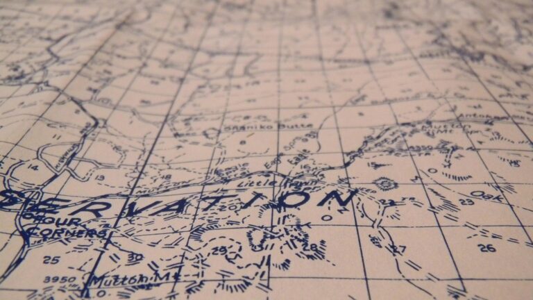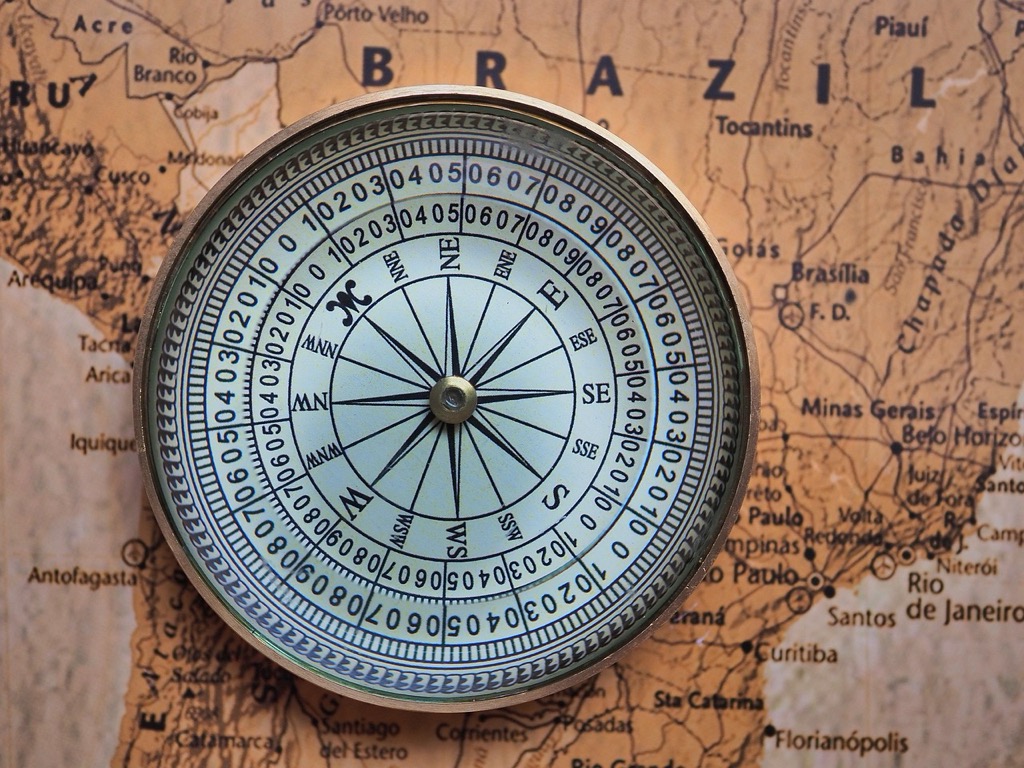
7 Non-Traditional Ideas for World Map Design That Create Visual Impact
The big picture: Traditional world maps with their flat rectangles and distorted continents don’t capture how you actually experience our planet in the digital age.
Why it matters: Creative cartographers are reimagining global visualization through interactive designs that reflect modern connectivity patterns migration flows and environmental data in ways that make geography more intuitive and engaging.
What’s next: These seven innovative approaches to world map design will transform how you visualize global relationships and challenge everything you thought you knew about representing Earth’s complexity.
Disclosure: As an Amazon Associate, this site earns from qualifying purchases. Thank you!
P.S. check out Udemy’s GIS, Mapping & Remote Sensing courses on sale here…
Interactive Digital Maps That Respond to Touch and Movement
Interactive digital maps transform static geography into dynamic experiences that adapt to user engagement. These responsive cartographic solutions bridge the gap between traditional mapping and modern interface design.
Motion-Activated Projections
Motion-activated projections detect your presence through infrared sensors and reveal hidden geographic layers as you approach different regions. You’ll find these installations in museums where walking toward Asia displays trade routes or moving near polar regions shows ice cap changes over time. Advanced systems like TouchMagix and Kinect-based mapping platforms track your gestures to zoom into specific countries or rotate 3D terrain models. Your movements trigger real-time data overlays including population density heat maps climate zones and migration patterns.
Enhance your tabletop games with this set of six highly detailed, 3D printed stone boulder terrain pieces. Perfect for 28mm miniatures, these paintable PLA plastic models add immersive scenery to any battlefield.
Touch-Sensitive Wall Displays
Touch-sensitive wall displays use capacitive technology to respond instantly when you tap select or swipe across continents. You can pinch to zoom from global views down to street-level detail or drag your finger to measure distances between cities. Professional installations like Perceptive Pixel screens and Microsoft Surface Hub systems support multi-touch functionality allowing multiple users to explore different regions simultaneously. Your touch interactions activate pop-up information windows displaying economic data cultural facts or environmental statistics for any selected location.
Expand your workstation with the Microsoft Surface Thunderbolt 4 Dock. Connect dual 4K monitors and peripherals via multiple USB ports, while enjoying high-speed data transfer and laptop charging.

Augmented Reality Overlays
Augmented reality overlays superimpose digital information onto physical map surfaces when you point your smartphone or tablet at specific geographic features. You’ll see real-time weather patterns flight paths or historical events appear as 3D holograms above traditional printed maps. Apps like Google Earth AR and Mapbox AR SDK enable you to view demographic data or natural disaster impacts by scanning QR codes placed on wall-mounted world maps. Your device’s camera recognizes geographic landmarks and displays contextual information including elevation profiles population statistics or current news from that region.
Experience vivid content on the Galaxy A16 5G's 6.7" display and capture stunning photos with its triple-lens camera. Enjoy peace of mind with a durable design, six years of updates, and Super Fast Charging.

Three-Dimensional Sculptural World Maps
Get durable, tear-resistant posters made in the USA. Each 18" x 29" poster features high-quality 3 MIL lamination for lasting protection.

Three-dimensional sculptural world maps transform flat geographical representations into tactile, artistic installations that reveal Earth’s topography through physical form. These sculptural approaches move beyond digital interfaces to create tangible geographic experiences.
Carved Relief Maps in Wood or Stone
Explore the United States with this 3D raised relief map. Feel the terrain and understand topography through its tactile, vacuum-formed design.

Carved relief maps showcase elevation changes through traditional craftsmanship techniques that highlight mountain ranges and ocean depths. You’ll find artisans using hardwoods like maple or oak to create detailed topographical representations where the Himalayas rise dramatically above sea-level plains. Stone carvers work with granite or marble to produce permanent installations that weather naturally outdoors. These maps require precise depth calculations to maintain accurate scale relationships between different elevation zones.
Layered Paper and Cardboard Constructions
Layered paper constructions build topography through stacked sheets cut to represent different elevation contours. You can create these maps using laser-cut cardboard layers that stack progressively to show mountain ranges like the Andes or Rocky Mountains. Each layer represents specific elevation intervals, typically 500 to 1,000 feet, allowing viewers to understand terrain through physical steps. Paper artists often use different colors for each elevation band to enhance the visual impact of continental structures.
Metal Wire Frame Continents
Metal wire frame continents outline landmasses through sculptural frameworks that emphasize geographic boundaries and connections. You’ll see these installations using copper or steel wire to trace coastlines and major geographic features in three-dimensional space. Wire artists create floating continental shapes that viewers can walk around and observe from multiple angles. These frameworks often incorporate LED lighting systems that illuminate different regions to show population density, climate zones, or economic data through color variations.
Textile and Fabric-Based Cartographic Art
You’ll discover that fabric-based world maps transform cartography into tactile experiences that engage multiple senses. These textile interpretations combine traditional craftsmanship with geographic accuracy to create stunning visual displays.
Embroidered Continental Outlines
Embroidered world maps showcase intricate continental boundaries through detailed needlework that captures coastlines with remarkable precision. You can create these masterpieces using different thread colors to represent elevation changes, with darker threads indicating mountain ranges and lighter shades marking plains. Professional embroiderers often use satellite imagery as reference guides, ensuring accurate geographic proportions while maintaining artistic flair. The technique works particularly well for educational displays where viewers can trace continental shapes with their fingers.
Quilted Geographic Patchwork
Quilted world maps utilize fabric patches to represent different countries, creating colorful geographic mosaics that highlight cultural diversity through textile choices. You’ll find that traditional quilting techniques like log cabin or flying geese patterns work exceptionally well for depicting landmasses and ocean boundaries. Many quilters incorporate fabrics from specific regions to represent their corresponding countries, adding authentic cultural elements to their cartographic creations. The layered construction naturally creates subtle topographic effects that enhance the map’s dimensional quality.
Macramé String Art Representations
Macramé world maps employ knotted cord techniques to outline continental shapes, creating minimalist geographic art that emphasizes structural connections between landmasses. You can use different rope thicknesses to indicate major geographic features, with thicker cords representing mountain ranges and thinner strings marking rivers or political boundaries. The technique allows for creative interpretations where connecting knots symbolize trade routes or migration patterns between continents. These installations work particularly well as large-scale wall art in educational or cultural settings.
Living Maps Created with Plants and Natural Elements
Natural cartography combines botanical artistry with geographic representation, creating living installations that evolve alongside our planet’s ecosystems.
Succulent Garden Continent Shapes
Design your world map using drought-resistant plants arranged in precise continental configurations. Jade plants form Africa’s distinctive outline while string of pearls traces South America’s coastline. Position different succulent varieties to represent elevation changes—thick aloe for mountain ranges and trailing sedums for river valleys. Maintain these installations in controlled indoor environments where LED grow lights highlight geographic boundaries. Choose contrasting textures between echeveria rosettes for island nations and columnar cacti for narrow land bridges, creating tactile geography that guests can explore through careful touch.
Moss-Covered Wall Installations
Create vertical world maps using preserved moss species that maintain their vibrant green appearance without ongoing maintenance. Sheet moss covers large continental masses while cushion moss defines smaller island territories and archipelagos. Install these living walls on moisture-resistant backing materials that support both artistic vision and botanical health. Incorporate different moss textures to represent various climate zones—smooth moss for tropical regions and textured varieties for temperate areas. Illuminate your moss map with specialized LED systems that enhance natural colors while preventing heat damage to delicate plant materials.
Stone and Sand Landscape Miniatures
Construct tabletop world maps using natural materials that mirror Earth’s geological diversity across all seven continents. Volcanic rock represents mountainous terrain while fine sand creates desert regions and coastal boundaries. Layer different stone sizes to show elevation changes—large granite pieces for major mountain ranges and pebbles for rolling hills. Add colored sand to distinguish between geographic features like red sand for Australian outback and black volcanic sand for Iceland’s unique landscape. Seal these installations with clear protective coatings that preserve the natural arrangement while allowing detailed examination of miniature topographic features.
Illuminated Light-Based World Map Designs
Light-based world maps transform traditional cartography into luminous installations that breathe life into geographic boundaries. These designs use various lighting technologies to create captivating visual experiences that highlight continental shapes and geographic features.
LED Strip Continental Outlines
LED strip continental outlines create precise geographic boundaries using flexible lighting strips positioned along landmass edges. You’ll achieve striking visual impact by mounting these strips behind translucent panels or directly onto dark surfaces. Modern LED strips offer programmable color options that let you display different data sets through color coding. Installation requires careful measurement of continental perimeters and strategic placement of power sources for seamless illumination across large geographic areas.
Backlit Acrylic Panel Maps
Backlit acrylic panel maps combine etched geographic details with even illumination from behind translucent surfaces. You’ll create professional-looking installations by laser-engraving continental boundaries into frosted acrylic sheets and mounting LED panels underneath. These designs work exceptionally well in corporate lobbies and educational spaces where consistent lighting enhances readability. Multiple panel configurations allow you to display regional sections separately while maintaining overall geographic accuracy through precise alignment.
Fiber Optic Star Constellation Styles
Fiber optic star constellation styles represent cities and geographic points as individual light sources connected through thin optical fibers. You’ll create dynamic displays by positioning fiber endpoints at major urban centers while routing cables to represent trade routes or transportation networks. These installations offer exceptional versatility since you can program individual points to pulse or change colors based on real-time data. The star-like appearance mimics celestial navigation methods while providing modern interactive capabilities for contemporary mapping applications.
Modular and Customizable Map Components
Modular mapping systems give you complete control over geographic representation, allowing you to reconfigure world layouts based on specific educational needs or design preferences.
Magnetic Puzzle Piece Continents
Magnetic continent pieces transform traditional world maps into hands-on learning experiences. You’ll find laser-cut wooden or metal continents with embedded magnets that attach to magnetic whiteboards or steel surfaces. These pieces allow you to demonstrate continental drift, explore different map projections, or create alternative world configurations. Teachers use these systems to show students how continents fit together like puzzle pieces, while designers appreciate the flexibility to arrange landmasses according to specific visual compositions or thematic requirements.
Interchangeable Cork Board Sections
Share ideas and stay organized with this stylish 18" x 24" cork bulletin board. Its light birch wood frame complements any space, while the dense cork surface hides pin holes for lasting use.

Cork board mapping systems feature removable sections that you can swap based on your current focus area. Standard cork panels divide the world into regional segments – North America, Europe, Asia-Pacific, and Africa-Middle East sections mount independently on wall frameworks. You’ll pin location markers, string connections between cities, or attach demographic overlays to specific regions. This modular approach works perfectly for businesses tracking global operations, educators focusing on different geographic regions, or researchers comparing regional data sets without cluttering the entire world view.
Moveable Wooden Block Geography
Wooden block geography sets consist of precisely cut continental shapes that stack, slide, or rotate on base platforms. Each continent block features detailed topographic carving with accurate proportional scaling. You can arrange these blocks to demonstrate plate tectonics, create custom map projections, or build three-dimensional geographic relationships. Museums use these tactile systems for visually impaired visitors, while architects incorporate them into interactive installation designs that invite hands-on geographic exploration and spatial understanding.
Abstract and Artistic Interpretations of Global Geography
You can transform traditional cartography into expressive art by reimagining continents through abstract design principles. These interpretations challenge conventional geographic representation while maintaining spatial relationships that viewers recognize.
Geometric Shape Representations
Triangular continent designs replace organic landmass boundaries with sharp angular forms that emphasize continental positioning through mathematical precision. Hexagonal grid systems tessellate Earth’s surface into interlocking geometric patterns that maintain proportional accuracy while creating visually striking honeycomb-like continental shapes. Circular arc interpretations curve traditional boundaries into flowing rounded forms that highlight ocean connections between continents. These geometric approaches transform familiar geography into bold abstract compositions that retain geographic logic.
Color Gradient Continent Blends
Temperature-based color transitions shift from cool blues in polar regions to warm reds near the equator, creating seamless gradients that eliminate traditional boundary lines. Elevation-responsive chromatic scales blend deep purples for ocean trenches through vibrant greens for plains to bright whites for mountain peaks. Cultural diversity spectrum mapping uses color intensity to represent population density or linguistic variety across seamless continental transitions. These gradient techniques merge adjacent regions into flowing color fields that emphasize geographic continuity.
Typography-Based Landmass Designs
Country name typography shapes continental outlines using scaled text where larger nations appear in bold fonts and smaller territories use delicate letterforms. Language family word clouds cluster related linguistic groups into continent-shaped text arrangements that reflect cultural geography through typographic density. Historical timeline text mapping layers chronological events as readable text that follows coastlines and border patterns. These typographic approaches convert geographic data into readable art installations that communicate cultural information through letterform arrangement.
Conclusion
These innovative world map designs represent a fundamental shift in how you can experience and understand global geography. By moving beyond traditional flat representations you’re able to engage with spatial relationships through multiple senses and interactive technologies.
Whether you’re drawn to the tactile nature of textile maps or the dynamic possibilities of digital projections each approach offers unique benefits for different environments and audiences. The key is selecting designs that align with your specific goals and space requirements.
As cartography continues evolving these creative approaches will undoubtedly inspire even more groundbreaking interpretations of our planet. You now have the tools to transform any space into an engaging geographic experience that challenges conventional thinking about how we visualize our world.
Frequently Asked Questions
What are the main problems with traditional world maps?
Traditional world maps suffer from significant distortions that misrepresent continents’ actual sizes and shapes. They fail to accurately reflect modern connectivity patterns, migration flows, and environmental changes. These static representations can’t adapt to our digital age needs or provide interactive experiences that help users understand complex global relationships and geographic data.
How do interactive digital maps improve upon traditional cartography?
Interactive digital maps transform static geography into dynamic experiences through motion-activated projections, touch-sensitive displays, and augmented reality overlays. Users can explore hidden layers like trade routes, weather patterns, and demographic data in real-time. These technologies bridge traditional mapping with modern interface design, creating more engaging and informative geographic experiences.
What are three-dimensional sculptural world maps?
Three-dimensional sculptural maps are physical installations that transform flat geography into tactile art pieces. They include carved relief maps showcasing elevation changes, layered paper constructions building topography through stacked sheets, and metal wire frame continents with LED lighting. These sculptures reveal Earth’s physical form through touchable materials and artistic craftsmanship.
How do textile-based maps enhance geographic understanding?
Textile cartography creates tactile experiences through embroidered continental boundaries, quilted geographic patchwork representing cultural diversity, and macramé string art outlining landmasses. These fabric-based maps engage multiple senses while combining traditional craftsmanship with geographic accuracy, offering a unique way to interact with and understand global geography through touch and visual texture.
What is natural cartography?
Natural cartography combines botanical artistry with geographic representation using living materials. It includes succulent garden continent shapes, moss-covered wall installations, and stone and sand landscape miniatures. These living maps evolve alongside Earth’s ecosystems, emphasizing the integration of nature and geography while creating environmentally conscious artistic installations.
How do illuminated light-based world maps work?
Light-based world maps use LED strip continental outlines, backlit acrylic panels, and fiber optic installations to create luminous geographic representations. These designs transform traditional cartography into glowing installations that can display real-time data, enhance visual experiences, and offer interactive capabilities while maintaining precise geographic accuracy through controlled lighting systems.
What are modular and customizable map components?
Modular map systems include magnetic puzzle piece continents for demonstrating continental drift, interchangeable cork board sections for regional focus, and moveable wooden block geography sets. These components provide hands-on learning experiences, allow customization for specific educational needs, and offer tactile geographic exploration, particularly beneficial for visually impaired users.
How do abstract artistic interpretations represent geography?
Abstract geographic art uses geometric shapes, color gradients, and typography to replace traditional landmass boundaries. These approaches include angular tessellated patterns, temperature-based color transitions, and text-shaped continents. While challenging conventional representation, they maintain recognizable spatial relationships and offer fresh perspectives on global geography through artistic innovation.