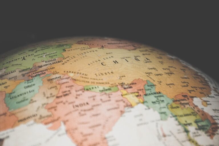
6 Best Cultural Sensitivity Map Design Tips
Maps shape how you view the world – but they’re not neutral tools. Your cartographic choices can perpetuate harmful stereotypes reinforce colonial perspectives or exclude entire communities from geographic narratives.
Cultural sensitivity in map design isn’t just about political correctness – it’s about creating accurate inclusive representations that respect diverse worldviews. Whether you’re designing digital maps or educational materials these considerations directly impact how millions of people understand geography culture and their place in the world.
The good news? Small changes in your mapping approach can make enormous differences in promoting equity and understanding across cultures.
Disclosure: As an Amazon Associate, this site earns from qualifying purchases. Thank you!
P.S. check out Udemy’s GIS, Mapping & Remote Sensing courses on sale here…
Research Local Cultural Context and Historical Significance
Thorough research forms the foundation of culturally sensitive map design. You’ll need to investigate the deep historical layers and cultural meanings that shape how communities understand their landscapes.
Achieve a flawless, even complexion with e.l.f. Flawless Satin Foundation. This lightweight, vegan formula provides medium coverage and a semi-matte finish for all-day wear, while hydrating your skin with glycerin.

Understanding Indigenous Land Rights and Sacred Sites
Map indigenous territories accurately by consulting tribal databases and government records that document traditional boundaries. You should reference resources like the Native Land Digital platform and tribal nation websites to identify ancestral lands, treaty territories, and sacred sites. Many mapping projects inadvertently exclude or misrepresent indigenous place names and territorial boundaries. Always verify information with tribal cultural departments before including indigenous geographical references in your maps.
Investigating Colonial History and Its Mapping Implications
Examine how colonial mapping practices shaped current geographical representations through historical map collections and colonial administrative records. You’ll discover that many contemporary boundaries, place names, and territorial divisions reflect colonial administrative convenience rather than cultural logic. Research tools like the David Rumsey Map Collection and national archives reveal how colonial cartographers often renamed places and redrew boundaries. This historical context helps you understand why certain mapping conventions may perpetuate colonial perspectives in modern cartographic work.
Consulting Local Communities and Cultural Experts
Engage directly with community cultural centers, museums, and academic institutions to gather authentic local perspectives on geographical significance. You should establish relationships with local historians, tribal elders, and cultural preservation organizations who can provide insights unavailable in published sources. Schedule interviews with community leaders and cultural experts who understand the social meanings attached to specific locations. Their knowledge helps you avoid cultural misrepresentations and ensures your maps reflect genuine community understanding of their landscapes.
Choose Inclusive and Culturally Appropriate Color Schemes
Your color choices can reinforce or challenge cultural biases in ways that extend far beyond simple aesthetics. Building on your cultural research foundation, you’ll need to evaluate how different communities interpret specific colors and combinations across religious, political, and social contexts.
Avoiding Colors with Negative Cultural Associations
Red carries vastly different meanings across cultures that can impact your map’s reception. In Western contexts, red often signals danger or prohibition, while in Chinese culture it represents prosperity and good fortune. Consider how red borders might be interpreted as aggressive in conflict-zone mapping versus celebratory in cultural heritage maps. Test your color selections with representatives from the communities you’re mapping, particularly when depicting sensitive territorial boundaries or cultural sites that hold spiritual significance.
Understanding Religious and Political Color Symbolism
Religious color symbolism varies dramatically between faith traditions and can create unintended offense in sacred space mapping. Islamic cultures often associate green with paradise and spirituality, while Hindu traditions connect saffron with purity and sacrifice. Political colors present similar challenges – blue and red carry strong partisan associations in American electoral maps but represent entirely different political movements in other nations. Research local political party colors and religious preferences before finalizing your palette, especially for maps displaying demographic or administrative data.
Testing Color Accessibility Across Different Cultures
Cultural color perception extends beyond individual preferences to include physiological differences in color discrimination across populations. East Asian populations show higher rates of red-green color blindness variants, while certain African populations demonstrate enhanced ability to distinguish blue-green spectrums. Use colorbrewer2.org and Adobe Color’s accessibility tools to verify your schemes work across different color vision types. Conduct user testing with diverse cultural groups using both digital displays and printed versions, as color rendering varies significantly between media formats.
Use Respectful and Accurate Place Names and Labels
Your labeling choices directly impact how communities see themselves represented on maps. Accurate place names preserve cultural heritage while respecting the people who originally named these locations.
Prioritizing Indigenous and Local Language Names
Indigenous place names carry deep cultural and historical significance that colonial-era naming often erased. You’ll find authoritative indigenous names through tribal cultural departments, the U.S. Board on Geographic Names, and Native Land Digital mapping resources. The Squaw Peak to Piestewa Peak renaming in Arizona demonstrates how restoring indigenous names honors original inhabitants. Always verify spelling and pronunciation with tribal authorities rather than relying on historical documents that may contain transcription errors.
Avoiding Outdated or Offensive Terminology
Offensive geographic names perpetuate harmful stereotypes and exclude communities from feeling represented in mapping. You must identify derogatory terms by consulting the U.S. Geological Survey’s list of non-recommended names and working with cultural sensitivity experts. Replace terms like “squaw” and racial slurs that appear in over 650 U.S. place names. Cross-reference your labels against current federal naming guidelines and recent renaming initiatives to ensure compliance with modern standards.
Including Multiple Name Variations When Appropriate
Multiple name variations acknowledge complex cultural landscapes where different communities use distinct names for the same location. You can display both English and indigenous names using hierarchical labeling systems or parenthetical notation. Include historical names when they provide important context without endorsing problematic terminology. Consider using interactive layers that allow users to toggle between different naming conventions, especially in areas with significant cultural overlap or disputed territories.
Incorporate Diverse Perspectives in Data Representation
Your data representation choices determine whose voices get heard and whose experiences remain invisible in your maps.
Challenging Western-Centric Mapping Conventions
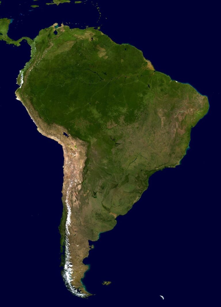
Reject traditional north-up orientations when they don’t serve your map’s purpose or community needs. Many indigenous cultures view cardinal directions differently than Western conventions suggest. Consider alternative projection systems that minimize distortion for regions outside North America and Europe. The Mercator projection, while familiar, dramatically distorts landmass sizes and perpetuates colonial-era geographic hierarchies. Experiment with equal-area projections like the Gall-Peters or Mollweide to present more accurate global perspectives.
Including Marginalized Communities in Data Collection
Partner directly with community organizations rather than relying solely on government census data or commercial datasets. Local communities often maintain more accurate population counts and cultural boundaries than official sources. Establish data-sharing agreements that respect community sovereignty over their information while ensuring your maps reflect lived experiences. Train community members to collect spatial data using mobile GIS tools, creating sustainable partnerships that benefit both your mapping project and local capacity building.
Representing Multiple Worldviews and Spatial Concepts
Layer different spatial understanding systems within your map interface to accommodate diverse ways of conceptualizing space and place. Some cultures prioritize relationships between locations over precise coordinates. Include temporal dimensions in your data representation, as many indigenous worldviews integrate time and space differently than Western cartographic traditions. Design interactive elements that allow users to toggle between different spatial frameworks, such as seasonal territories, ceremonial boundaries, or traditional trade routes alongside modern political boundaries.
Consider Cultural Differences in Spatial Orientation and Navigation
Spatial orientation systems vary dramatically across cultures, creating fundamental challenges for map designers who must navigate diverse worldviews about direction and navigation.
Understanding Varying Cardinal Direction Systems
Cardinal systems differ significantly across cultures, with some societies using absolute directions while others rely on relative positioning. Many Indigenous communities use landscape-based orientation systems that reference prominent geographic features like mountains, rivers, or coastlines rather than magnetic north.
Australian Aboriginal cultures demonstrate this perfectly through their songline navigation systems, which organize space around sacred sites and ancestral pathways. Pacific Islander communities navigate using star patterns, ocean swells, and wind directions that don’t align with Western compass systems.
You’ll need to research local directional conventions and consider offering multiple orientation options within your map interface to accommodate these diverse spatial frameworks.
Respecting Traditional Wayfinding Methods
Traditional wayfinding incorporates sensory navigation techniques that extend far beyond visual landmarks, including sounds, smells, and tactile environmental cues. Inuit communities use wind patterns, snow formations, and animal behavior to navigate Arctic landscapes with remarkable precision.
Polynesian navigators employ wave pattern recognition and celestial navigation methods that have guided ocean voyages for centuries. These systems often integrate temporal elements, seasonal changes, and cultural knowledge that static maps cannot capture.
Consider incorporating audio descriptions, seasonal overlays, and cultural context panels that honor these sophisticated navigation traditions while maintaining your map’s technical functionality.
Adapting Map Layouts for Different Reading Patterns
Reading patterns influence how users process spatial information, with right-to-left languages creating different visual scanning behaviors that affect map comprehension. Arabic and Hebrew speakers often approach maps from right to left, while East Asian cultures may prefer top-to-bottom information hierarchies.
Text placement becomes critical when accommodating multiple reading directions within the same map interface. You’ll want to test label positioning, legend placement, and information flow with native speakers from different cultural backgrounds.
Design flexible layout systems that can accommodate various reading patterns through adjustable text orientations, customizable legend positions, and culturally appropriate information hierarchies that respect traditional spatial processing methods.
Collaborate with Local Communities Throughout the Design Process
Building genuine partnerships with communities prevents the perpetuation of mapping errors and cultural misrepresentations that plague so many cartographic projects.
Establishing Meaningful Community Partnerships
Start partnerships early by reaching out to community leaders, cultural centers, and tribal councils before beginning any mapping work. You’ll need to invest time in relationship-building rather than treating consultation as a checkbox exercise.
Identify key stakeholders through local government offices, indigenous organizations, and community advisory boards. These groups often maintain detailed knowledge about territorial boundaries, sacred sites, and naming conventions that official databases miss entirely.
Establish formal agreements that outline roles, responsibilities, and compensation for community participation in your mapping project.
Implementing Feedback Loops and Iterative Design
Create structured review cycles where community members can examine draft maps and provide detailed feedback at multiple project stages. You’ll discover errors and cultural insensitivities that desk research alone cannot reveal.
Use collaborative mapping platforms like ArcGIS Online or QGIS Cloud to enable real-time community input on boundary delineations, place names, and feature classifications. Schedule regular virtual or in-person review sessions with community representatives.
Document all feedback carefully and explain how community suggestions will be incorporated into subsequent map versions.
Ensuring Community Ownership and Benefit Sharing
Develop data-sharing agreements that give communities control over how their cultural information appears on your maps. You’ll need to respect restrictions on sacred or sensitive locations that communities prefer to keep private.
Provide communities with high-resolution copies of finished maps and any derivative datasets they request. Train local members in basic GIS software use so they can maintain and update maps independently.
Consider revenue-sharing arrangements for commercial mapping projects and always credit community contributors prominently in map documentation and metadata.
Conclusion
Culturally sensitive map design isn’t just about being politically correct—it’s about creating maps that truly serve all communities. When you implement these six strategies you’re not only improving accessibility but also challenging centuries of cartographic bias that has marginalized countless voices.
The path forward requires commitment to ongoing learning and genuine collaboration. You’ll need to invest time in research community engagement and iterative design processes. However the rewards extend far beyond individual projects as you contribute to a more inclusive mapping landscape.
Remember that every mapping decision carries cultural weight. By prioritizing indigenous perspectives respecting local naming conventions and incorporating diverse spatial worldviews you’re helping reshape how we understand and represent our shared world. Your maps have the power to either perpetuate harmful stereotypes or celebrate the rich diversity of human experience.
Frequently Asked Questions
Why are maps not considered neutral tools?
Maps are not neutral because they reflect the perspectives, biases, and cultural viewpoints of their creators. Cartographic choices can reinforce harmful stereotypes, colonial perspectives, and exclude certain communities. Every mapping decision—from projection systems to color choices—shapes how viewers perceive the world and can either promote inclusivity or perpetuate cultural misrepresentations.
What makes a map culturally sensitive?
A culturally sensitive map accurately represents diverse worldviews, uses respectful place names, incorporates local perspectives, and avoids reinforcing stereotypes. It involves thorough research into local cultural contexts, consultation with community members, appropriate color schemes, and inclusive data representation that honors different ways of understanding and navigating space.
How should mapmakers approach indigenous territory mapping?
Mapmakers should consult tribal databases, government records, and engage directly with indigenous communities. They must research historical significance, understand colonial impacts on current representations, and prioritize indigenous language names. Collaboration with tribal leaders and cultural experts ensures authentic representation and helps restore culturally significant names that may have been erased.
What role do colors play in culturally sensitive map design?
Colors carry different cultural meanings and can reinforce biases or create offense. Designers must understand religious and political color symbolism, avoid colors with negative associations in specific cultures, and test accessibility across diverse groups. Color choices should be evaluated for how different communities interpret them, considering physiological differences in color perception.
Why are accurate place names important in mapping?
Accurate place names preserve cultural heritage and ensure communities see themselves respectfully represented. Indigenous and local language names carry deep cultural significance often erased by colonial naming. Using correct names honors original inhabitants and challenges harmful stereotypes perpetuated by outdated or offensive terminology.
How can maps incorporate diverse spatial perspectives?
Maps can challenge Western-centric conventions by using alternative orientations and projection systems that better serve community needs. This includes layering different spatial understanding systems, accommodating landscape-based orientation rather than magnetic north, and integrating temporal dimensions to reflect indigenous worldviews and traditional navigation methods.
What is community collaboration in map design?
Community collaboration involves engaging local leaders, cultural centers, and stakeholders throughout the design process. It includes establishing formal agreements, implementing feedback loops, allowing community review of draft maps, and ensuring data-sharing agreements respect community preferences. This partnership prevents cultural misrepresentations and ensures authentic local perspectives.
How do different cultures approach spatial navigation?
Various societies have distinct directional systems beyond magnetic north. Indigenous communities often use landscape-based orientation, like Australian Aboriginal songlines or Polynesian celestial navigation. Some cultures incorporate sensory techniques, such as Inuit environmental pattern navigation, requiring flexible map layouts that accommodate different reading directions and cultural hierarchies.