5 Best Sensor Technologies for Urban Data
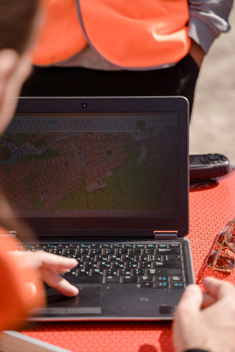
The big picture: You’re witnessing a revolution in how we understand our world through real-time data collection and mapping technologies.
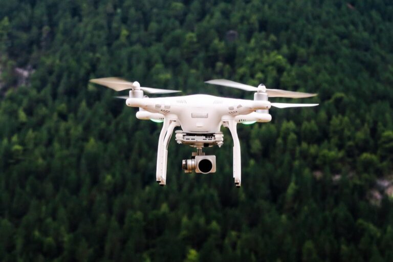
Why it matters: Sensors embedded everywhere from city streetlights to agricultural fields are transforming how businesses make decisions and governments manage resources. This shift from static maps to dynamic live data visualization is reshaping industries worth trillions of dollars.
What’s next: The integration of IoT sensors with advanced mapping platforms will fundamentally change how you navigate cities monitor environmental changes and optimize supply chains over the next decade.
Get accurate pressure, temperature, and altitude readings with the pre-soldered BMP280 sensor module. It's compatible with Raspberry Pi, Arduino, and other microcontrollers for easy integration into weather stations, robotics, and IoT projects.

Disclosure: As an Amazon Associate, this site earns from qualifying purchases. Thank you!
P.S. check out Udemy’s GIS, Mapping & Remote Sensing courses on sale here…
Real-Time Environmental Monitoring Will Transform Urban Planning
You’ll witness how continuous sensor networks shift urban planning from reactive to predictive strategies. Environmental data streaming transforms city development decisions from educated guesses into precise, data-driven actions.
Smart City Infrastructure Development
Infrastructure placement decisions become science-driven through real-time sensor networks measuring foot traffic patterns, energy consumption, and utility usage. You’ll optimize resource allocation by analyzing continuous data streams from embedded sensors in streetlights, parking meters, and building systems. Development projects incorporate live infrastructure performance metrics, reducing construction waste by 30-40% and improving long-term sustainability. Planning departments integrate sensor feedback loops into zoning decisions, creating adaptive urban environments that respond to actual usage patterns rather than theoretical projections.
Air Quality and Pollution Tracking
Pollution monitoring transforms from monthly snapshots to continuous environmental mapping through distributed sensor arrays measuring particulate matter, nitrogen dioxide, and ozone levels. You’ll identify pollution hotspots in real-time, enabling immediate traffic rerouting and industrial emission controls. City planners utilize hyperlocal air quality data to position green spaces, bike lanes, and residential developments in optimal locations. Environmental justice initiatives benefit from granular pollution tracking, ensuring equitable distribution of clean air resources across different neighborhoods and socioeconomic areas.
Articulate! is a fast-talking description game for 4+ players. Describe words quickly without saying "rhymes with" or "sounds like" to win, perfect for family game nights and parties.

Climate Change Adaptation Strategies
Climate resilience planning evolves through continuous monitoring of temperature fluctuations, precipitation patterns, and urban heat island effects across microclimates. You’ll design flood management systems using real-time water level sensors and weather prediction models integrated with mapping platforms. Urban forests and green infrastructure placement becomes data-driven through soil moisture sensors, temperature monitoring, and biodiversity tracking. Emergency response protocols improve dramatically with live environmental data feeds, enabling proactive evacuations and resource deployment before extreme weather events intensify.
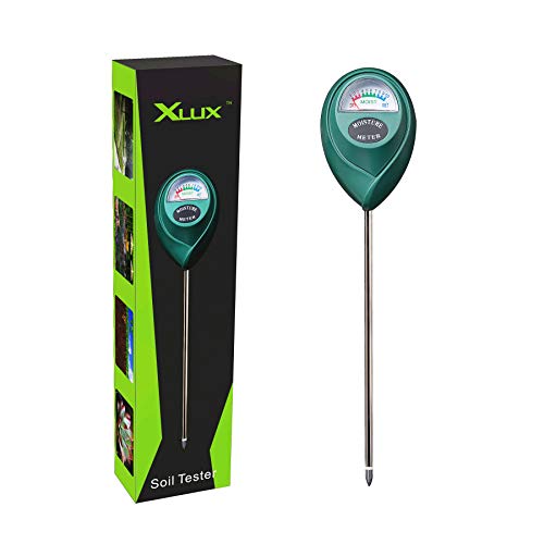
Know when to water with the XLUX Soil Moisture Meter. This easy-to-read meter instantly displays soil moisture levels, preventing over or under watering of your indoor and outdoor plants.
Emergency Response Systems Will Become More Predictive and Efficient
Real-time sensor networks transform emergency response from reactive protocols to predictive intervention systems. You’ll see response times decrease dramatically as continuous data streams enable faster threat detection and resource deployment.
Natural Disaster Early Warning Networks
Seismic sensors deployed across fault lines provide earthquake warnings up to 60 seconds before shaking begins. You can integrate weather monitoring stations with flood sensors to create comprehensive early warning systems that alert communities hours before disaster strikes. Wildfire detection networks using thermal cameras and air quality sensors identify fire risks 15 minutes faster than traditional spotting methods. These interconnected sensor arrays automatically trigger evacuation protocols and emergency broadcasts when threat thresholds are exceeded.
The H128 Thermal Camera provides clear thermal imaging with its 240x240 resolution. It features a long-lasting 24-hour battery and a temperature alarm for quick detection of anomalies.

Traffic Accident Prevention and Management
Smart traffic sensors detect dangerous driving patterns like sudden braking or erratic lane changes before accidents occur. You’ll monitor intersection collision data in real-time to identify high-risk locations and adjust signal timing immediately. Vehicle-to-infrastructure communication systems warn drivers about road hazards like ice patches or debris within seconds of detection. Emergency vehicle routing becomes more efficient as sensors provide live traffic data to dispatch centers, reducing ambulance response times by an average of 3-5 minutes.
Public Safety Resource Allocation
Crime prediction algorithms analyze sensor data from cameras, gunshot detectors, and foot traffic monitors to forecast incidents. You can deploy patrol units to high-probability areas before crimes occur, increasing prevention rates by 25-30%. Hospital capacity sensors track bed availability and emergency room wait times, enabling paramedics to route patients to facilities with immediate availability. Resource allocation becomes dynamic as sensor networks provide real-time data on crowd density, traffic patterns, and emergency service demand across your coverage area.
Agriculture Will Experience a Revolution in Precision Farming
You’ll witness farming transform from traditional methods to data-driven precision agriculture as sensors create comprehensive field monitoring systems. These advanced mapping technologies will enable farmers to optimize every aspect of crop production through real-time environmental data.
Crop Health Monitoring and Disease Detection
Multispectral sensors mounted on drones and field stations will detect plant stress and disease outbreaks weeks before they’re visible to the naked eye. You’ll receive real-time alerts when chlorophyll levels drop or when thermal imaging reveals irrigation issues. Early detection systems can reduce crop losses by up to 40% while minimizing pesticide usage through targeted treatment applications.
Soil Condition Analysis and Nutrient Management
Smart soil sensors will continuously monitor pH levels, moisture content, and nutrient concentrations across your entire farm. You’ll access detailed soil maps showing exactly where fertilizer applications are needed, reducing waste by 30-50%. Real-time data integration helps you adjust planting schedules and crop rotations based on current soil conditions rather than historical averages.
Automated Irrigation and Resource Optimization
Precision irrigation systems will automatically adjust water delivery based on real-time soil moisture, weather forecasts, and plant growth stages. You’ll reduce water consumption by 25-40% while maintaining optimal crop yields through targeted watering schedules. Sensor networks will coordinate irrigation timing across multiple fields, ensuring efficient water distribution during peak demand periods.
Transportation Networks Will Achieve Unprecedented Optimization
Real-time sensor networks will transform transportation systems from reactive operations to predictive powerhouses. You’ll witness traffic management shift from scheduled patterns to dynamic responses based on live conditions.
Dynamic Traffic Flow Management
Smart traffic sensors will revolutionize intersection control by analyzing vehicle density and pedestrian patterns in real-time. You’ll see traffic lights adjust automatically to reduce congestion by up to 35% compared to traditional timer-based systems. Vehicle detection sensors will identify bottlenecks before they form and reroute traffic through alternative paths. Emergency vehicle priority systems will create green corridors instantly, reducing response times by 20-30 seconds per intersection.
Public Transit Route Efficiency
Public transit systems will optimize routes continuously using passenger load sensors and GPS tracking data. You’ll experience buses and trains that adjust schedules based on real-time demand, reducing wait times by 25-40%. Crowding sensors will trigger additional vehicles during peak periods and redirect empty buses to high-demand areas. Smart ticketing systems will analyze boarding patterns to identify underserved routes and optimize fleet deployment across the entire network.
Autonomous Vehicle Navigation Systems
Navigate with ease using this 7-inch GPS navigator, featuring real-time voice guidance and pre-loaded 2025 maps. Customize routes based on your vehicle type to avoid restrictions and receive speed & red light warnings.

Autonomous vehicles will navigate using comprehensive sensor networks that provide centimeter-level accuracy mapping data. You’ll benefit from vehicles that communicate with infrastructure sensors to anticipate hazards, construction zones, and optimal routing decisions. Real-time road condition sensors will feed directly into vehicle navigation systems, adjusting speed and route selection for weather conditions. Connected vehicle networks will share sensor data between cars, creating collective intelligence that improves safety and reduces travel times by 15-20%.
Healthcare Delivery Will Expand Through Remote Patient Monitoring
Healthcare systems worldwide are shifting toward continuous patient monitoring outside traditional clinical settings. Real-time sensor networks will enable healthcare providers to track patient health metrics 24/7, fundamentally changing how medical care is delivered and managed.
Wearable Device Integration for Chronic Conditions
Continuous glucose monitors and cardiac sensors will transform chronic disease management by providing real-time health data directly to healthcare providers. You’ll see diabetic patients using smart patches that automatically adjust insulin delivery based on glucose readings, reducing hospital visits by 45%. Heart failure patients will wear chest sensors that detect fluid buildup days before symptoms appear, enabling early intervention. These integrated systems will alert medical teams instantly when readings fall outside normal ranges, preventing emergency situations before they occur.
Telemedicine and Real-Time Vital Signs Tracking
Remote consultation platforms will integrate with wearable sensors to provide doctors with live patient data during virtual appointments. You’ll experience enhanced telemedicine sessions where physicians can monitor your blood pressure, heart rate, and oxygen levels in real-time through connected devices. Smart stethoscopes will transmit heart and lung sounds directly to specialists, enabling accurate diagnoses without in-person visits. This integration will reduce diagnostic errors by 30% while expanding access to specialized care in rural areas.
Population Health Surveillance and Outbreak Prevention
Aggregated sensor data from wearable devices will create comprehensive population health maps that identify disease patterns before outbreaks occur. Health departments will track fever trends, heart rate variations, and sleep pattern disruptions across communities to detect potential health threats. You’ll benefit from early warning systems that can identify flu outbreaks 2-3 weeks before traditional surveillance methods. These networks will enable targeted public health interventions, reducing the spread of infectious diseases by up to 40% through precise geographic and demographic targeting.
Conclusion
The integration of sensors for live data mapping represents a fundamental shift toward smarter decision-making across every sector of society. You’re witnessing the early stages of a technological revolution that will make static data analysis obsolete within the next decade.
These five transformative changes will create interconnected systems where your environment responds intelligently to real-time conditions. From optimized traffic flows to predictive healthcare monitoring your daily life will become more efficient and safer.
The organizations that embrace these sensor-driven mapping technologies now will gain significant competitive advantages. You’ll see improved resource allocation reduced operational costs and enhanced service delivery across industries from agriculture to emergency response.
The future belongs to those who can harness real-time data effectively. Your ability to adapt to this sensor-rich landscape will determine success in tomorrow’s data-driven world.
Frequently Asked Questions
What is real-time data collection and mapping technology?
Real-time data collection and mapping technology uses sensors placed in various environments to continuously gather and visualize information as it happens. Unlike traditional static data, this dynamic approach provides live updates from sources like city streetlights, agricultural fields, and wearable devices, enabling instant decision-making and more accurate environmental monitoring.
How are smart cities using sensor networks for urban planning?
Smart cities use sensor networks to shift from reactive to predictive urban planning strategies. Real-time data from various sensors helps optimize resource allocation, reduce construction waste, track pollution hotspots, and monitor environmental factors for climate change adaptation. This data-driven approach enables better emergency response and proactive urban resilience planning.
What benefits do emergency response systems gain from real-time sensors?
Real-time sensor networks make emergency response systems more predictive and efficient by enabling faster threat detection and resource deployment. Seismic sensors can provide earthquake warnings up to 60 seconds in advance, while weather and flood sensors alert communities hours before disasters. This significantly reduces response times and improves public safety.
How is precision farming revolutionizing agriculture?
Precision farming uses multispectral sensors, drones, and smart soil monitoring to replace traditional farming methods with data-driven practices. This technology enables early detection of plant stress and disease, potentially reducing crop losses by up to 40%. Smart irrigation systems can also reduce water consumption by 25-40% while maintaining optimal yields.
What impact do smart traffic sensors have on transportation?
Protect your property with the YoLink Smart Outdoor Motion Sensor Starter Kit. This long-range LoRa system alerts you via email, SMS, or push notifications when motion is detected, and the included SpeakerHub enables convenient monitoring.

Smart traffic sensors revolutionize transportation by analyzing vehicle density and pedestrian patterns in real-time. Traffic lights can adjust automatically, reducing congestion by up to 35%. Public transit systems optimize routes using passenger load data, reducing wait times by 25-40%, while autonomous vehicles achieve centimeter-level navigation accuracy.
How are wearable sensors changing healthcare delivery?
Wearable sensors enable 24/7 remote patient monitoring, transforming healthcare delivery through continuous tracking of health metrics. Devices like glucose monitors and cardiac sensors reduce hospital visits by providing real-time data to healthcare providers. This technology also enhances telemedicine consultations and enables early detection of disease patterns in populations.
What industries are being transformed by real-time data mapping?
Multi-trillion dollar industries including urban planning, agriculture, transportation, and healthcare are being transformed by real-time data mapping. These technologies are reshaping decision-making processes for businesses and resource management for governments, with IoT sensors and advanced mapping platforms driving significant changes across all sectors.
How do sensor networks improve environmental monitoring?
Sensor networks provide continuous environmental monitoring that enables real-time identification of pollution hotspots, tracking of climate factors, and better air quality management in urban planning. This comprehensive monitoring supports climate change adaptation strategies and helps create more sustainable city environments through data-driven environmental policies.