8 Ways Modern Cartographers Are Mapping the Future
Mapping is not just about charting landmasses anymore; it’s about envisioning our world in ways we’ve never seen before. Modern cartographers are pioneering techniques that are transforming the landscape of geographical data and its applications.
The digital revolution has revolutionized cartography, replacing manual map drawing with efficient digital tools. This shift democratized map-making, inviting more contributors. Geographic Information Systems (GIS) now underpin modern cartography, facilitating dynamic, interactive maps and making tasks like finding a new coffee shop in a city challenging without it.
Disclosure: As an Amazon Associate, this site earns from qualifying purchases. Thank you!
1. Satellite Imagery Advancements
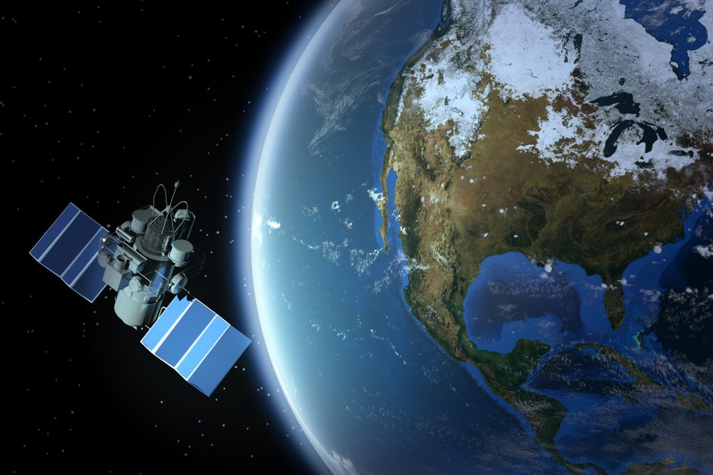
Satellite imagery has gone from grainy, black-and-white photos to ultra-high-definition color images that can pinpoint a car from orbit. These advancements have given cartographers a bird’s eye view like never before, allowing for real-time updates to maps and an unprecedented level of detail. We’re talking about the ability to monitor traffic patterns, deforestation, and even the growth of cities.
P.S. check out Udemy’s GIS, Mapping & Remote Sensing courses on sale here…
The integration of multispectral and hyperspectral imaging has further enhanced our understanding of the Earth’s surface, revealing data not visible to the naked eye. From the comfort of our offices, we can observe the health of crops or measure the urban heat island effect with precision.
2. AI and Machine Learning
AI and machine learning are the new frontier for cartographers. These technologies can sift through vast amounts of data to identify patterns and anomalies, which would take humans lifetimes to analyze. Imagine a system that learns from every map it processes, constantly improving its accuracy in terrain classification or road network extraction.
The use of AI in cartography is like having an army of tireless assistants, each one trained to perform specific tasks with superhuman efficiency. It’s not about replacing the cartographer; it’s about augmenting our capabilities to make maps that are smarter and more insightful than ever before.
3. Open-Source Mapping Tools
Open-source mapping tools have flung open the doors to collaborative cartography, making it a community affair. Platforms like OpenStreetMap are akin to the Wikipedia of cartography, where anyone can contribute to the map of the world. This has been a game-changer for areas that are not well-represented on commercial maps.
Have you ever tried finding a small village in a remote region on a mainstream map? It’s like looking for a needle in a haystack. These tools empower local communities to map their streets, leading to more accurate and culturally relevant maps. Plus, they’re a boon for cash-strapped researchers and organizations that can now access powerful mapping tools without breaking the bank.
4. Crowdsourced Geographic Data
Crowdsourcing has revolutionized the way we gather geographic data. It’s like having thousands of scouts reporting from every corner of the globe, each sharing their slice of the world. This method is particularly powerful during natural disasters or humanitarian crises, where timely and accurate maps can save lives.
Volunteers use their local knowledge to update maps with critical information, such as the location of shelters or damaged infrastructure. This collaborative approach not only increases the quantity of data but also enriches its quality, as locals provide insights that satellites and algorithms cannot.
5. 3D Mapping Technologies
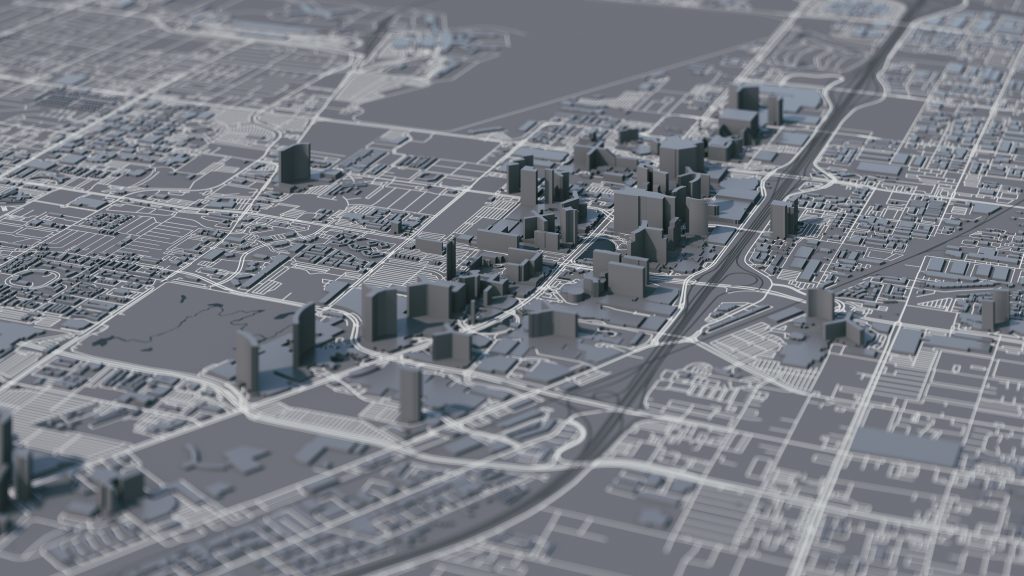
3D mapping technologies are turning flat maps into living landscapes. By adding the height dimension, these maps provide a more realistic representation of the world. For urban planners, it’s like having a scale model of a city, complete with every building and tree.
Lidar technology, which uses light detection and ranging, has been instrumental in creating highly detailed 3D models. These models are not just visually impressive; they’re also invaluable tools for simulations, such as predicting the spread of a wildfire or the impact of a flood.
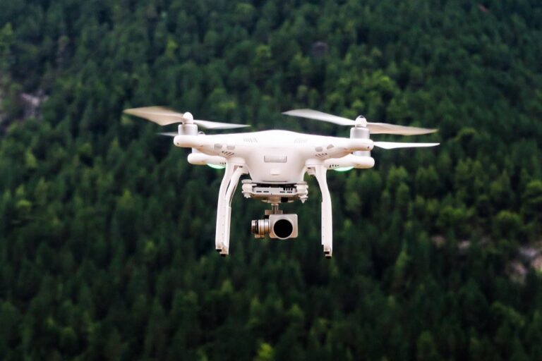
6. Autonomous Surveying Drones
Autonomous surveying drones are the cartographer’s eyes in the sky. These nimble machines can reach places that are dangerous or impossible for humans to access. Equipped with cameras and sensors, they’re mapping everything from vast agricultural lands to intricate urban environments. (And let’s be honest, flying a drone beats being stuck in an office any day.)
The data collected by drones is not only more comprehensive but can also be captured more frequently, allowing maps to be updated rapidly as the landscape changes.
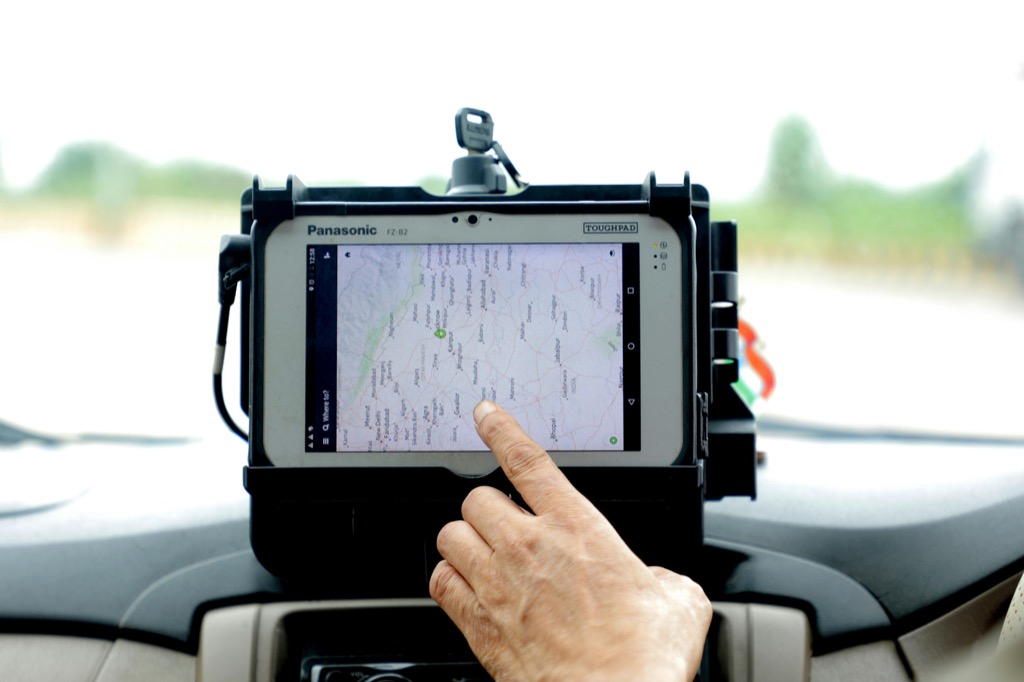
7. Real-Time Data Integration
Real-time data integration is like giving maps a pulse. By incorporating live data feeds, such as traffic conditions or weather patterns, maps are transformed into dynamic tools that reflect the ever-changing state of the world. For the commuter, this means being able to choose the fastest route home.
For emergency responders, it’s about having the most current information to make life-saving decisions. This real-time aspect ensures that maps are not just a snapshot of the past but a window into the present.
In the video, The New Stack explains-
The New Stack
- Real-time data involves delivering data insights to users and customers as events happen.
- Google Maps provides updates on traffic and other information in real-time, enabling better decision-making.
- Examples of real-time data applications include ATMs, fraud detection, and customer service.
- Different industries have varying requirements for real-time data, from milliseconds to minutes.
- Dealing with real-time data is challenging due to the volume of data generated and the need for quick analytics.
- Every company is becoming a data company as they seek to utilize data for business and product decisions.
- Real-time data processing differs from batch processing, which involves collecting data and then sending it over.
- Real-time data connections are crucial for applications like human brain imaging.
- Algorithms for real-time data processing must prioritize signals efficiently due to time constraints.
- Real-time data empowers better decision-making by providing timely and accurate information.
8. Augmented Reality Maps
Augmented reality (AR) maps take the map off the page and project it into the world around us. By overlaying digital information onto the physical environment, AR maps provide an immersive and interactive experience. Whether it’s navigating a complex subway system or finding historical information about a landmark, AR maps blend the digital and physical realms in a way that is both fun and functional. It’s like having a personal tour guide in your pocket, one that knows every street and story of the city.
Ethical Mapping Practices
As cartographers, we hold the power to shape perceptions of the world. Ethical mapping practices are crucial to ensure that this power is used responsibly. This means being mindful of how maps can influence issues like privacy, political boundaries, and cultural representation. We must strive to create maps that are accurate but also fair and inclusive. It’s about recognizing that every line drawn on a map has a real-world impact and taking care to represent the diverse tapestry of human experience.
The maps of the future are more than just tools for navigation; they’re canvases for innovation, collaboration, and storytelling. As we continue to push the boundaries of what maps can be, we’re charting a course for a more connected and comprehensible world than ever before.