7 Trends Shaping Modern Cartography Today
In the evolving world of cartography, we’re witnessing a landscape that’s as dynamic as it is detailed. From the integration of cutting-edge technologies to the influences of social concerns, let’s navigate through the seven trends reshaping the maps of today.
Cartography has come a long way from the days of parchment and compasses. Today’s maps are interactive, data-rich, and incredibly precise. They’re not just about showing us the way; they’re about telling the story of our ever-changing world. As we delve into the latest trends, it’s clear that modern cartography is as much about data analysis and software as it is about geography.
The digital revolution has transformed maps into a canvas for a multitude of layers and perspectives. Now, we can switch from topographical outlines to street views with a click, or overlay demographic data with environmental stats. This versatility reflects our complex needs for navigation, planning, and understanding our world.
Modern cartography has become a collaborative field, where professionals and hobbyists alike contribute to the mapping mosaic. The convergence of different disciplines—like computer science, geography, and design—has enriched the field, making today’s maps more than just guides; they’re tools for discovery and innovation.
Disclosure: As an Amazon Associate, this site earns from qualifying purchases. Thank you!
1. Rise of Open-Source Mapping Tools
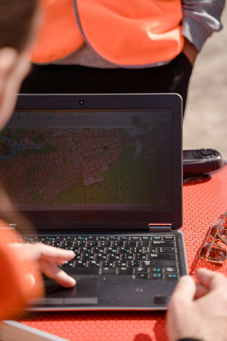
The democratization of map-making is one of the most exciting trends in modern cartography. Open-source tools like QGIS and OpenStreetMap have opened the floodgates for anyone with a computer to contribute to the mapping universe. This trend is not just about cost-saving; it’s about community and collaboration on a global scale.
These platforms have turned the map-making process into a participatory exercise. Remember when I tried to map my local hiking trails? With open-source tools, I could add those paths to an online map, enhancing the experience for future hikers. This level of detail and local knowledge is what makes these tools so powerful.
Not only do open-source mapping tools empower users to create and edit maps, but they also foster innovation. Developers can build upon these platforms, creating specialized applications that serve niche markets or address specific challenges, such as disaster response mapping.
2. Integration of AI and Machine Learning
Artificial Intelligence (AI) and machine learning are no longer just buzzwords—they’re revolutionizing the way we create and interpret maps. These technologies enable the processing of vast amounts of geographic data at speeds and accuracies that were once unimaginable. Think of it as having an army of tireless cartographers analyzing satellite imagery around the clock.
AI algorithms can detect patterns and anomalies in data, making them invaluable for tasks like urban planning or environmental monitoring. For instance, an AI could identify deforestation activities by comparing historical and current satellite images. This capability has turned maps into proactive tools rather than just static records.
The integration of AI also means that maps can become more personalized. Imagine your map app suggesting the most scenic route for your Sunday drive, based on your previous preferences—it’s like having a cartographer-cum-concierge at your fingertips.
3. The Advent of 3D Mapping Technology
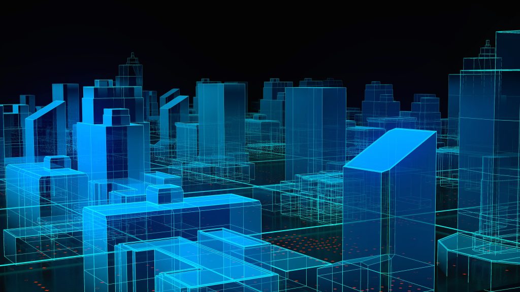
Gone are the days when maps were confined to two dimensions. 3D mapping technology is giving us a whole new perspective on the world. It’s like swapping out your old pair of glasses for a state-of-the-art VR headset—you suddenly see everything with incredible depth and clarity.
Experience immersive VR and mixed reality with the Meta Quest 3S 128GB. Enjoy enhanced performance with 2X the graphical processing power and access thousands of experiences, plus get Batman: Arkham Shadow and a 3-month trial of Meta Quest+ included.

This technology has immense applications, from urban planning to gaming. Architects can visualize new buildings in their actual surroundings, while game developers can create more immersive worlds. For the average Joe, 3D city maps can help navigate complex urban environments with ease.
What’s truly amazing is the level of detail we can achieve with 3D mapping. We’re not just talking about the shape of buildings; we’re capturing textures, lighting, and even the movement of trees in the wind. It’s a level of realism that’s not just impressive—it’s downright astonishing.
4. Real-Time Data and Live Maps
In our fast-paced world, real-time data is the name of the game, and cartography is no exception. Live maps offer a dynamic view of the world, capturing everything from traffic conditions to weather patterns as they happen. It’s like having a crystal ball, but for geography.
These live maps are invaluable for logistics, emergency services, and even our daily commutes. Remember that time I almost missed a concert because I didn’t check the traffic? Live maps would have shown me the jam and suggested an alternative route. It’s not just about convenience; it’s about making informed decisions in the moment.
Moreover, the integration of social media data into live maps adds another layer of real-time information. Users can report incidents or share updates, contributing to a collective mapping effort that’s always up to date.
5. Increased Use of UAVs for Mapping
Unmanned Aerial Vehicles (UAVs), commonly known as drones, are taking cartography to new heights—literally. These flying wonders are perfect for capturing high-resolution imagery of hard-to-reach places, from mountain peaks to cityscapes. It’s like giving a map wings.
Explore the world of military drones and unmanned aerial vehicles (UAVs). This resource provides comprehensive information in English.

The use of drones in mapping isn’t just about getting a bird’s-eye view; it’s about precision and accessibility. In my work, I’ve seen how drones can survey a disaster area quickly, providing vital information for rescue efforts. It’s an example of technology truly serving humanity.
Drones are also becoming more user-friendly and cost-effective, making aerial mapping accessible to a broader range of users. This trend is likely to continue as UAV technology advances, making drones an indispensable tool in the cartographer’s toolkit.
6. Mapping for Climate Change Analysis
As the reality of climate change becomes more pressing, cartography plays a crucial role in understanding its impacts. Maps that visualize climate data help us see the invisible—rising sea levels, shrinking ice caps, and changing ecosystems. It’s a sobering yet necessary glimpse at our planet’s future.
These maps are not just for scientists; they’re tools for policymakers, activists, and the public to grasp the scope of climate change. By visualizing data, maps can drive home the urgency of the issue and spur action. It’s a case where seeing is believing.
Furthermore, maps are essential for planning climate resilience strategies. Whether it’s identifying flood-prone areas or modeling the spread of vector-borne diseases, cartography helps us prepare for and adapt to a changing world.
7. The Shift to Location-Based Services
Location-based services (LBS) have woven themselves into the fabric of our daily lives. Whether it’s finding the nearest coffee shop or tracking a workout route, we rely on LBS to provide context to our location. This shift has turned our phones into compasses for the modern age.
For businesses, LBS is a game-changer. They can target customers with pinpoint accuracy, offering deals when they’re just around the corner. It’s a marketer’s dream, but it also enhances the consumer experience by providing relevant, location-specific content.
The proliferation of LBS has also spurred innovation in map design, with a focus on user experience and interface design. Cartographers now consider how maps function on small screens and how users interact with them on the go.
Privacy Concerns in Digital Mapping
With all the benefits of digital mapping, there’s a flip side: privacy concerns. As maps get more detailed and personal data becomes intertwined with geographic information, the potential for misuse grows. It’s like having a map that knows a bit too much about your whereabouts.
The issue of privacy in digital mapping is a hot topic. Users want the convenience of location services without feeling like they’re being watched. It’s a delicate balance that the industry is still trying to strike.
As cartographers and technologists, we must advocate for responsible data practices and transparency. Users should have control over their location data and understand how it’s being used. After all, a map should be a tool for navigation, not surveillance.
Future Directions in Cartography
Looking ahead, the future of cartography is as wide and varied as the maps we create. We’ll likely see further integration of technologies like augmented reality, which could take map interaction to new, immersive levels. Imagine walking through a city and seeing historical maps overlaid on the present streets—talk about a time machine!
We’re also likely to see more personalized and predictive mapping services. Maps could anticipate our needs based on our habits and preferences, making our interactions with our environment smoother and more intuitive.
Most importantly, as cartographers, we have a responsibility to use our skills for the greater good. Whether it’s through humanitarian mapping or advocating for sustainable practices, our work has the power to make a positive impact on the world.
As we’ve journeyed through the trends shaping modern cartography, it’s clear that our maps are becoming more than mere guides—they’re vibrant, living documents of our world. With each new technology and approach, we’re not just charting territories; we’re charting the future.