5 Ways to Assess Vegetation Health Using Remote Sensing Technology
Why it matters: You’re looking at crops that seem healthy but can’t tell if they’re actually thriving beneath the surface — and by the time visual symptoms appear it’s often too late to take corrective action.
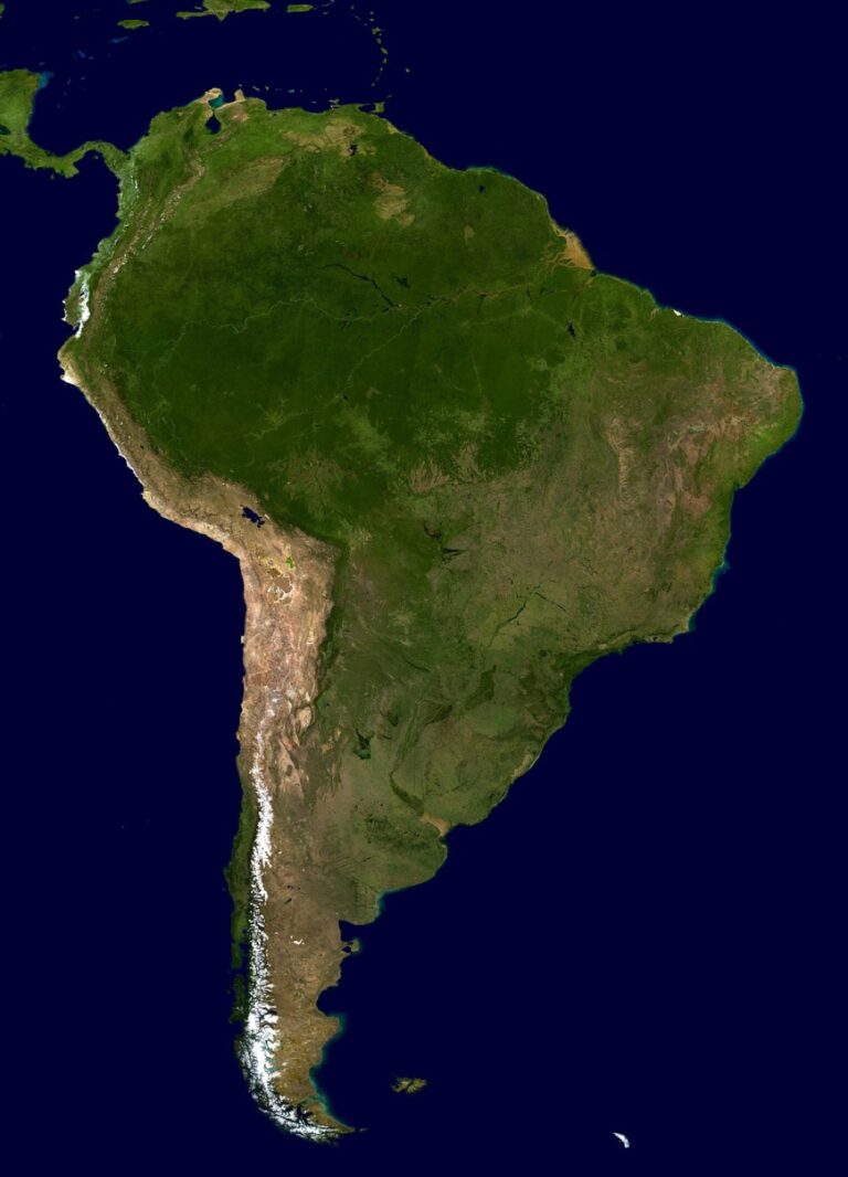
The big picture: Remote sensing technology gives you powerful tools to monitor plant health from above using satellites drones and specialized cameras that capture data invisible to the naked eye.
What’s next: These five proven methods will help you detect stress disease and nutrient deficiencies before they become costly problems.
Disclosure: As an Amazon Associate, this site earns from qualifying purchases. Thank you!
P.S. check out Udemy’s GIS, Mapping & Remote Sensing courses on sale here…
Normalized Difference Vegetation Index (NDVI) Analysis
NDVI represents the most widely used vegetation index in remote sensing applications. This measurement provides quantitative data about plant health by analyzing how vegetation reflects near-infrared and red light wavelengths.
Understanding NDVI Calculations and Measurements
NDVI calculations use a simple formula: (NIR – Red) / (NIR + Red), where NIR represents near-infrared reflectance and Red represents red light reflectance. Healthy vegetation strongly reflects near-infrared light while absorbing red light for photosynthesis. You’ll obtain values ranging from -1 to +1, with higher positive values indicating healthier, more vigorous vegetation. Most satellite platforms including Landsat, Sentinel-2, and MODIS provide pre-calculated NDVI products for immediate analysis.
Interpreting NDVI Values for Plant Vigor Assessment
NDVI values between 0.2 and 0.4 typically indicate sparse vegetation or stressed crops requiring immediate attention. Values from 0.4 to 0.6 represent moderate vegetation health with potential for improvement through targeted interventions. Dense, healthy vegetation produces NDVI values above 0.6, with peak growing season measurements often reaching 0.8 or higher. You should establish baseline NDVI ranges for your specific crop types and growing conditions to accurately assess deviations from normal plant vigor patterns.
Seasonal NDVI Monitoring for Growth Pattern Analysis
Seasonal NDVI tracking reveals critical growth patterns and stress periods throughout the agricultural cycle. You’ll observe characteristic NDVI curves that start low during planting, peak during maximum vegetative growth, and decline during senescence. Early season NDVI monitoring helps identify germination problems and establishment issues before they impact yields. Regular 7-14 day NDVI measurements during the growing season enable you to detect nutrient deficiencies, water stress, and disease outbreaks when corrective actions remain most effective.
Enhanced Vegetation Index (EVI) Monitoring
While NDVI provides valuable insights into vegetation health, Enhanced Vegetation Index (EVI) offers superior accuracy in complex agricultural environments. EVI addresses NDVI’s limitations by incorporating atmospheric corrections and reducing soil background interference.
EVI Advantages Over Traditional NDVI Methods
EVI eliminates saturation problems that plague NDVI measurements in dense vegetation areas. While NDVI values plateau at approximately 0.8 in thick canopies, EVI continues providing meaningful data up to 1.0. EVI reduces soil background noise by incorporating blue light wavelengths alongside red and near-infrared bands. This three-band approach delivers more accurate vegetation assessments in sparse crop areas where soil reflectance affects traditional NDVI calculations.
Atmospheric Correction Benefits in EVI Analysis
EVI automatically corrects atmospheric interference through built-in aerosol resistance algorithms that account for dust, haze, and moisture in the air. Traditional NDVI measurements require separate atmospheric correction processing, while EVI’s formula includes coefficients that minimize these effects. EVI maintains consistency across different satellite passes and weather conditions, providing reliable vegetation health data even during suboptimal atmospheric conditions that typically compromise NDVI accuracy.
EVI Applications in Dense Canopy Environments
EVI excels in monitoring mature crop canopies where traditional indices reach saturation levels and lose sensitivity. Forest monitoring, mature corn fields, and dense vegetable crops benefit from EVI’s extended dynamic range. EVI detects subtle stress patterns in thick vegetation that NDVI cannot distinguish, making it invaluable for precision agriculture in high-biomass crops. Commercial growers use EVI for late-season monitoring when canopy closure makes NDVI measurements less reliable.
Thermal Infrared Imaging for Stress Detection
Thermal infrared sensors detect plant surface temperatures, revealing stress conditions before visual symptoms appear. You’ll capture temperature variations that indicate water stress, disease onset, and nutrient deficiencies through canopy temperature analysis.
Capture thermal data with the AMG8833 infrared imager. This compact module measures temperatures from 0°C to 80°C with ±2.5°C accuracy and is compatible with Raspberry Pi and Arduino via I2C.

Plant Temperature Monitoring Through Thermal Sensors
The H128 Thermal Camera provides clear thermal imaging with its 240x240 resolution. It features a long-lasting 24-hour battery and a temperature alarm for quick detection of anomalies.

Temperature measurements reveal plant stress by detecting canopy heating patterns that occur when plants reduce transpiration rates. Thermal cameras mounted on drones capture surface temperatures ranging from 20°C to 50°C across crop fields. You’ll identify stressed plants that register 2-5°C warmer than healthy vegetation due to reduced cooling from transpiration. Agricultural thermal sensors like FLIR Vue Pro R provide 640×512 pixel resolution for precise temperature mapping. Monitor thermal data during midday hours when temperature differences reach maximum values for optimal stress detection accuracy.
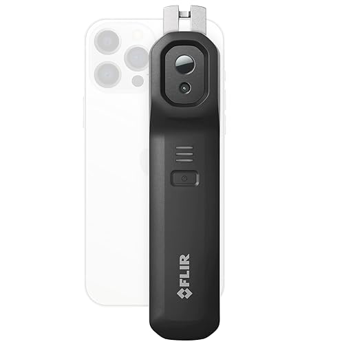
See heat you can't see with the FLIR Edge Pro. This wireless thermal camera connects to your smartphone via Bluetooth and uses VividIR to enhance thermal images to 320x240 resolution.
Water Stress Identification Using Thermal Analysis
Water-stressed crops exhibit elevated canopy temperatures because they close stomata to conserve moisture, reducing evapotranspiration cooling. You’ll detect water stress when plant temperatures exceed air temperature by more than 3-4°C during peak daylight hours. Thermal analysis reveals stress patterns days before wilting becomes visible, allowing early irrigation scheduling. Create thermal maps showing temperature gradients across fields to identify areas requiring immediate water management. Compare baseline temperatures from well-watered reference areas to detect relative stress levels throughout growing seasons.
Disease Detection Through Temperature Anomalies
Disease-infected plants display distinct thermal signatures as pathogens disrupt normal cellular processes and water transport systems. You’ll identify fungal infections that create cooler spots due to increased moisture retention, while bacterial diseases often generate warmer areas from tissue breakdown. Thermal imaging detects disease hotspots 7-14 days before visual symptoms appear in crops like potatoes, wheat, and soybeans. Monitor temperature anomalies that deviate 1-2°C from surrounding healthy tissue to pinpoint infection centers. Early detection enables targeted fungicide applications, reducing disease spread and minimizing crop losses.
Hyperspectral Imaging for Detailed Plant Analysis
Hyperspectral imaging captures hundreds of narrow spectral bands across the electromagnetic spectrum, providing detailed plant health information that broadband sensors can’t detect. This technology analyzes specific wavelengths to identify plant species, nutrient deficiencies, and chlorophyll concentrations with remarkable precision.
Spectral Signature Analysis for Species Identification
Species identification through hyperspectral analysis relies on unique spectral fingerprints that each plant type produces across different wavelengths. You can distinguish between crop varieties and weed species by analyzing their characteristic absorption and reflection patterns in the 400-2500 nanometer range. Advanced algorithms compare captured spectra against reference libraries containing thousands of plant signatures, achieving identification accuracy rates exceeding 95% in controlled conditions. This capability enables precision agriculture applications where you need to differentiate between desirable crops and invasive species for targeted management strategies.
Nutrient Deficiency Detection Through Spectral Data
Nutrient deficiencies create distinctive spectral signatures that appear in specific wavelength regions before visual symptoms manifest in plant tissue. You can detect nitrogen deficiency through reduced chlorophyll absorption around 550-700 nanometers, while phosphorus deficiency affects reflectance patterns in the 750-900 nanometer range. Potassium deficiency alters water content absorption features near 970 nanometers and 1240 nanometers. Machine learning algorithms analyze these spectral changes to quantify deficiency levels with 85-90% accuracy compared to laboratory soil tests. Early detection allows you to implement targeted fertilization programs 2-3 weeks before deficiency symptoms become visible to the naked eye.
Chlorophyll Content Assessment Using Hyperspectral Methods
Chlorophyll content assessment utilizes specific absorption bands at 430 nanometers, 660 nanometers, and 680 nanometers where chlorophyll molecules absorb light most strongly. You can calculate chlorophyll indices like the Red Edge Normalized Difference Vegetation Index (RENDVI) and the Modified Chlorophyll Absorption Ratio Index (MCARI) to quantify leaf pigment concentrations. These indices correlate with laboratory-measured chlorophyll content with R² values typically ranging from 0.75 to 0.90 across different crop types. Hyperspectral chlorophyll mapping reveals spatial variability in photosynthetic capacity, helping you identify areas requiring nutrient management or experiencing environmental stress before productivity declines become apparent.
LiDAR Technology for Structural Health Evaluation
LiDAR sensors emit laser pulses to measure vegetation structure in three dimensions, providing detailed insights into plant architecture and biomass distribution. This technology complements spectral analysis by revealing physical characteristics that affect overall ecosystem health.
Measure distances accurately with the TF-Luna LiDAR module. This compact, low-power sensor uses TOF principles for stable ranging from 0.2 to 8 meters and offers UART/I2C communication.

Canopy Height and Density Measurements
Measure canopy height precisely using LiDAR’s vertical profiling capabilities to assess vegetation vigor and growth patterns. LiDAR systems can detect height variations within 10-15 centimeters, revealing structural differences across your monitored areas. Track density changes by analyzing point cloud data that shows gaps in canopy coverage and leaf area distribution. Monitor seasonal height progression and canopy closure rates to identify stress conditions before they impact spectral signatures or thermal patterns.
Biomass Estimation Through LiDAR Data
Calculate above-ground biomass using LiDAR-derived height and density metrics combined with allometric equations for specific vegetation types. Research shows LiDAR biomass estimates achieve 85-95% accuracy when calibrated with ground truth measurements. Generate biomass distribution maps by processing point cloud intensity values alongside structural measurements. Validate your biomass calculations using plot-level field data to refine algorithms for different crop types and growth stages throughout the monitoring season.
Forest Structure Analysis for Ecosystem Health
Analyze forest vertical structure using LiDAR profiles to assess canopy layers and understory development patterns. Multi-return LiDAR data reveals canopy complexity metrics that indicate habitat quality and ecosystem diversity levels. Identify structural anomalies like crown dieback or irregular growth patterns that suggest disease pressure or environmental stress. Map forest fragmentation and edge effects by measuring canopy continuity across landscape boundaries, providing insights into ecosystem resilience and long-term sustainability trends.
Conclusion
Remote sensing technology transforms how you monitor and manage vegetation health by providing data-driven insights that surpass traditional visual assessments. These five methods—NDVI NDVI seasonal monitoring EVI thermal infrared imaging hyperspectral analysis and LiDAR—give you the tools to detect problems before they become costly disasters.
The combination of multiple remote sensing approaches creates a comprehensive monitoring system that addresses different aspects of plant health. You’ll find that integrating thermal stress detection with spectral analysis provides the most complete picture of your vegetation’s condition.
By implementing these remote sensing techniques you’re investing in precision agriculture that maximizes yields while minimizing resource waste. The technology continues evolving but these foundational methods remain essential for anyone serious about optimizing vegetation management through data-driven decision making.
Achieve a flawless, even complexion with e.l.f. Flawless Satin Foundation. This lightweight, vegan formula provides medium coverage and a semi-matte finish for all-day wear, while hydrating your skin with glycerin.

Frequently Asked Questions
What is remote sensing technology and how does it help monitor crop health?
Remote sensing technology uses satellites, drones, and specialized cameras to assess plant health from above, capturing data invisible to the naked eye. It detects stress, disease, and nutrient deficiencies before visual symptoms appear, allowing farmers to intervene early and prevent significant crop losses through timely interventions.
What is NDVI and how does it measure plant health?
NDVI (Normalized Difference Vegetation Index) is the most widely used vegetation index in remote sensing. It analyzes how vegetation reflects near-infrared and red light wavelengths to provide quantitative data about plant health. Higher NDVI values indicate healthier vegetation, with regular monitoring revealing critical growth patterns and stress periods.
How does EVI differ from NDVI in crop monitoring?
EVI (Enhanced Vegetation Index) offers superior accuracy in complex agricultural environments by incorporating atmospheric corrections and reducing soil background interference. Unlike NDVI which plateaus at 0.8, EVI provides meaningful data up to 1.0 and uses a three-band approach including blue light for enhanced accuracy in dense vegetation areas.
How does thermal infrared imaging detect crop stress?
Thermal infrared imaging detects plant surface temperatures to reveal stress conditions before visual symptoms appear. Stressed plants typically run 2-5°C warmer than healthy vegetation due to reduced transpiration. This method identifies water stress, disease onset, and nutrient deficiencies by monitoring temperature anomalies during midday hours.
What advantages does hyperspectral imaging offer for crop health monitoring?
Hyperspectral imaging captures hundreds of narrow spectral bands across the electromagnetic spectrum, providing detailed plant health information that broadband sensors can’t detect. It enables precise identification of plant species, nutrient deficiencies, and chlorophyll content through unique spectral fingerprints, allowing for targeted fertilization programs before visual symptoms manifest.
How does LiDAR technology contribute to vegetation monitoring?
LiDAR uses laser pulses to measure vegetation structure in three dimensions, providing insights into plant architecture and biomass distribution. It measures canopy height and density with 10-15 centimeter precision, calculates above-ground biomass with 85-95% accuracy, and analyzes forest structure to identify disease pressure or environmental stress indicators.