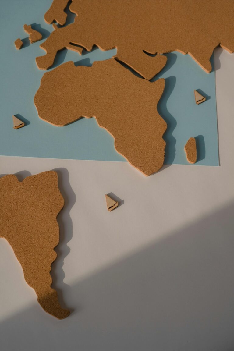
5 Ways Map Projections Will Change to Transform Digital Maps
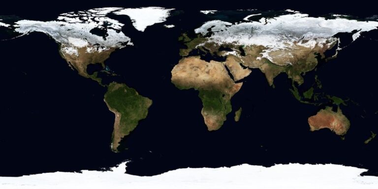
Why it matters: Map projections — the mathematical methods that transform our round Earth onto flat screens — are experiencing their biggest revolution since Mercator’s 16th-century breakthrough, driven by AI algorithms and real-time data processing.
The big picture: You’re witnessing a fundamental shift from static, one-size-fits-all projections to dynamic, purpose-built mapping systems that adapt instantly to your specific needs and location.
What’s happening: Digital technologies are making it possible to create personalized projections that minimize distortion for your exact use case, whether you’re tracking climate change, planning urban development, or navigating autonomous vehicles.
Disclosure: As an Amazon Associate, this site earns from qualifying purchases. Thank you!
P.S. check out Udemy’s GIS, Mapping & Remote Sensing courses on sale here…
Interactive 3D Visualization Will Replace Static Flat Maps
Three-dimensional mapping environments are transforming how you’ll interact with geographic data, moving beyond the limitations of traditional flat projections.
Real-Time Globe Manipulation and Rotation
You’ll gain unprecedented control over spatial perspectives through touch-enabled globe interfaces that respond instantly to your gestures. Modern WebGL frameworks like Cesium and Three.js enable smooth rotation and tilting at 60 frames per second, eliminating the jarring transitions of traditional map viewers. Your ability to examine geographic relationships from any angle reveals spatial patterns that flat projections often obscure or distort completely.
Seamless Zoom from Global to Local Perspectives
You’ll experience continuous scale transitions that maintain visual context throughout your exploration, from continental overviews down to street-level detail. Advanced level-of-detail algorithms automatically adjust data density and rendering quality based on your zoom level, ensuring optimal performance across all scales. This eliminates the traditional problem of losing spatial orientation when jumping between different map scales or projection systems.
Dynamic Layer Integration for Enhanced Data Display
You’ll manipulate multiple data layers simultaneously through intuitive controls that adapt to your analytical needs in real-time. Modern 3D mapping platforms support temporal animation, allowing you to visualize changes over time while maintaining spatial accuracy across different elevations and viewing angles. Your ability to toggle between demographic data, terrain models, and infrastructure layers creates comprehensive analytical environments that static maps simply cannot match.
Artificial Intelligence Will Automatically Select Optimal Projections
AI algorithms will soon eliminate the guesswork from choosing map projections, automatically selecting the most appropriate projection based on your specific mapping needs and geographic focus areas.
Machine Learning Algorithms for Purpose-Specific Projection Recommendations
Machine learning models analyze your project parameters to recommend optimal projections instantly. These algorithms evaluate factors like geographic extent, data types, and intended use cases to suggest projections that minimize distortion for your specific application. Navigation apps already use these systems to automatically switch between Mercator for global views and local coordinate systems for detailed street mapping. The algorithms learn from thousands of cartographic decisions, improving their recommendations as they process more mapping scenarios and user preferences.
Real-Time Analysis of Geographic Data Requirements
Real-time processing systems evaluate your geographic data characteristics to determine projection requirements dynamically. These systems analyze data density, feature types, and spatial relationships to identify the most suitable projection parameters. For instance, when you’re mapping linear features like rivers or roads, the system automatically detects the dominant orientation and suggests projections that preserve those directional relationships. The analysis occurs within milliseconds, processing coordinate systems, data extent, and feature geometry to deliver instant projection recommendations.
Automated Distortion Minimization Based on Use Case
Automated systems calculate optimal projection parameters to minimize distortion for your specific mapping objectives. These tools analyze your area of interest and automatically adjust projection center points, standard parallels, and scale factors to reduce distortion where it matters most. Climate modeling applications use these systems to automatically configure equal-area projections that preserve accurate measurements across study regions. The automation extends to hybrid projections that blend multiple mathematical models, creating custom solutions that traditional projection selection methods can’t achieve.
Augmented Reality Will Enable Contextual Map Overlays
Augmented reality transforms static map projections into dynamic, location-aware visualizations that adapt to your immediate environment. This technology creates intelligent mapping systems that understand where you’re standing and what geographic information you need most.
Location-Based Projection Adjustments Through AR Devices
Enjoy portable entertainment with the Google-certified Rokid Station. This compact device seamlessly connects to AR glasses for streaming and gaming, offering wireless casting and a long-lasting 5000mAh battery.

AR devices automatically select optimal map projections based on your current geographic position and viewing angle. Your device’s GPS coordinates trigger real-time projection calculations that minimize distortion for the specific area you’re observing. Mountain regions activate Equal Area projections to preserve topographic accuracy, while coastal zones switch to Conformal projections that maintain directional relationships. Smart algorithms analyze your movement patterns and adjust projection parameters within milliseconds, ensuring geographic features remain properly proportioned as you navigate different terrain types.
Immersive Geographic Data Visualization in Real Environments
Geographic data layers overlay directly onto physical landscapes through AR displays, creating contextual mapping experiences that blend digital information with real-world views. You’ll see elevation contours floating above actual hillsides, property boundaries projected onto empty lots, and historical map overlays superimposed on modern streets. Multi-temporal data visualization allows you to toggle between different time periods, watching urban development unfold or observing environmental changes over decades. Depth-aware rendering ensures that virtual map elements respect physical obstacles, placing data labels behind buildings and adjusting transparency based on viewing distance.
Hands-Free Map Interaction and Navigation
Voice commands and gesture recognition eliminate the need for manual map manipulation during navigation tasks. You can zoom into specific areas using pinch gestures directed at empty air, while verbal instructions like “show me the watershed boundaries” instantly activate relevant data layers. Eye tracking technology detects your focal points and automatically highlights corresponding map features or provides detailed information about objects within your gaze. Spatial anchoring maintains map accuracy as you move through environments, keeping projected elements properly aligned with their real-world counterparts even during rapid head movements or changing lighting conditions.
Real-Time Data Integration Will Drive Dynamic Projection Updates
Digital cartography’s next evolution centers on continuous data streams that automatically adjust map projections. Weather patterns, demographic shifts, and infrastructure changes now trigger instant projection modifications.
Live Weather and Climate Data Influencing Projection Choice
Weather monitoring systems automatically select polar stereographic projections when tracking Arctic storms or hurricane paths. Temperature data streams trigger azimuthal equal-area projections for heat dome visualization, while precipitation patterns activate conic projections optimized for regional watershed analysis. Climate models continuously feed projection algorithms, ensuring temperature anomalies and sea-level rise data display with minimal distortion across affected coastlines and polar regions.
Streaming Geographic Information Systems (GIS) Updates
Real-time GIS feeds automatically switch between UTM zones as infrastructure projects cross coordinate boundaries. Transportation networks trigger Albers equal-area conic projections when analyzing traffic flow across state lines, while utility companies use Web Mercator for urban service disruptions. Demographic data streams activate appropriate regional projections, ensuring census updates and population density maps maintain accuracy during redistricting processes and emergency response planning.
Instantaneous Projection Switching Based on Current Events
Breaking news triggers immediate projection changes based on geographic impact zones. Earthquake monitoring systems activate local transverse Mercator projections for seismic damage assessment, while wildfire tracking switches to Lambert conformal conic for evacuation route planning. Political events prompt boundary-specific projections, ensuring election coverage and diplomatic negotiations display territorial claims with appropriate geometric accuracy for international audiences and decision-makers.
Personalized User Preferences Will Customize Map Experiences
Digital mapping platforms will adapt to your individual preferences, creating tailored projection experiences that match your specific needs and working environment.
Individual Geographic Focus Areas and Regional Preferences
Geographic preference systems will analyze your most-viewed regions to automatically select optimal projections. If you frequently work with Arctic data, your mapping software will default to polar stereographic projections. Urban planners focusing on specific metropolitan areas will receive customized UTM zone selections that minimize distortion for their primary work zones. Rural researchers examining agricultural regions will access Albers equal-area conic projections tailored to their study boundaries, ensuring accurate land measurement calculations for farming applications.
Profession-Specific Projection Defaults and Templates
Professional mapping templates will streamline your workflow with industry-specific projection presets. Marine biologists will access specialized oceanographic projections like the Robinson projection for global ocean current visualization. Aviation professionals will receive Lambert conformal conic templates optimized for flight path planning and weather pattern analysis. Climate scientists will access equal-area projections designed for accurate temperature and precipitation data visualization, while logistics coordinators will use mercator-based systems optimized for shipping route calculations and distance measurements.
Explore the world with this 36"x24" physical wall map featuring current geographic details and Earth elevation profiles. Printed on rolled paper in the U.S.A. using the Robinson Projection.

Cultural and Educational Background Considerations
Educational mapping systems will adapt projections based on your cultural context and learning preferences. Students in different countries will see world maps using projections that reduce bias toward their home regions, such as the Gall-Peters projection for accurate continental size representation. Cultural preference settings will allow you to view maps with familiar orientation systems, like south-up projections common in certain regions. Academic institutions will customize projection libraries to match curriculum requirements, ensuring students learn appropriate projections for their geographic specializations and research methodologies.
Learn world geography with The World Game! Identify countries, flags, and capitals while boosting memory skills in this fun, educational card game for 2-5 players ages 8+.

Conclusion
The digital transformation of map projections represents a fundamental shift in how you’ll interact with geographic data. These technological advances will make mapping more accurate personal and responsive to your specific needs.
You’ll benefit from intelligent systems that automatically optimize projections based on your location profession and viewing preferences. Whether you’re tracking climate data planning urban development or navigating through AR interfaces the technology will adapt to deliver the most relevant perspective.
The future of digital cartography promises to eliminate the one-size-fits-all approach that has dominated mapping for centuries. You’ll experience more intuitive and context-aware geographic visualizations that enhance your understanding of spatial relationships and geographic patterns.
Frequently Asked Questions
What are map projections and why are they changing?
Map projections are methods used to represent Earth’s curved surface on flat screens or paper. They’re undergoing major transformation due to AI algorithms and real-time data processing, marking the biggest evolution since the 16th century Mercator projection. Modern projections are shifting from static, one-size-fits-all approaches to dynamic, customized systems that adapt to individual needs and reduce distortion for specific applications.
How do AI algorithms improve map projections?
AI algorithms automatically select optimal map projections based on specific mapping needs and geographic focus areas. Machine learning analyzes project parameters to recommend projections that minimize distortion for different applications. Real-time analysis systems evaluate geographic data characteristics to dynamically determine projection requirements, ensuring accurate representation of features like rivers, roads, and terrain for various purposes including navigation and climate modeling.
What is interactive 3D visualization in mapping?
Interactive 3D visualization replaces traditional flat maps with touch-enabled globe interfaces that allow real-time manipulation and rotation. Users can engage with geographic data through continuous zoom capabilities that maintain visual context from global to local scales. Dynamic layer integration enables simultaneous analysis of multiple data sets, including demographic information and terrain models, creating comprehensive analytical environments impossible with static maps.
How does augmented reality transform map projections?
Augmented reality transforms static map projections into dynamic, location-aware visualizations that adapt to users’ immediate environments. AR devices automatically select optimal projections based on geographic position and viewing angle, minimizing distortion. Geographic data layers overlay directly onto physical landscapes, creating immersive experiences that blend digital information with real-world views through hands-free voice commands and gesture recognition.
What is real-time data integration in digital cartography?
Real-time data integration drives dynamic projection updates through continuous data streams like weather patterns and demographic shifts. Weather monitoring systems automatically select specific projections based on current conditions, while real-time GIS updates facilitate automatic switching between projection types based on infrastructure changes. This ensures accuracy during critical events like emergency response planning and breaking news situations.
How do personalized map experiences work?
Personalized map experiences adapt to individual user preferences through geographic preference systems that analyze frequently viewed regions. The system automatically selects optimal projections based on user behavior, such as polar stereographic for Arctic data or UTM zones for urban planners. Profession-specific templates provide tailored projections for fields like marine biology, aviation, and climate science, streamlining workflows for different applications.
What are the benefits of dynamic mapping systems?
Dynamic mapping systems offer reduced distortion for specific applications, real-time adaptation to changing conditions, and personalized experiences based on user needs. They enable better climate change tracking, urban planning, and autonomous vehicle navigation. These systems provide continuous updates, maintain accuracy across different scales, and integrate multiple data sources simultaneously, creating more comprehensive and useful mapping tools than traditional static projections.