7 Best Cross-Cultural Mapping Ideas
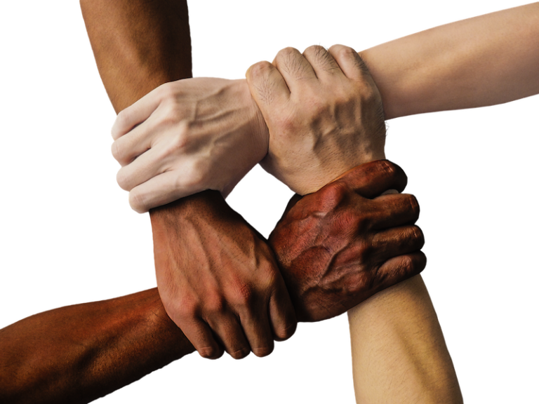
The big picture: Cross-cultural mapping collaborations are transforming how we understand and visualize our interconnected world. You’re witnessing a powerful shift where diverse perspectives converge to create more accurate and inclusive geographic representations that capture the full complexity of human experience across cultures.
Why it matters: These collaborative efforts aren’t just academic exercises – they’re reshaping everything from urban planning and disaster response to cultural preservation and international development. By bringing together mapmakers from different cultural backgrounds you’ll discover how these partnerships are producing more nuanced and effective solutions to global challenges while breaking down traditional barriers in geographic research.
Disclosure: As an Amazon Associate, this site earns from qualifying purchases. Thank you!
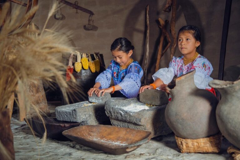
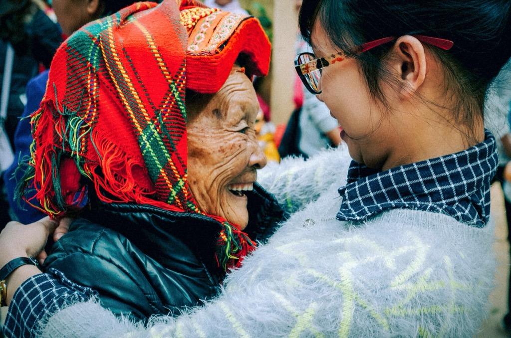
Build Community-Driven Neighborhood Heritage Maps
Community-driven heritage mapping transforms ordinary neighborhoods into rich tapestries of cultural memory and shared experience. These collaborative projects capture the authentic voices and stories that traditional cartographic methods often overlook.
P.S. check out Udemy’s GIS, Mapping & Remote Sensing courses on sale here…
Partner With Local Cultural Organizations
Connect with established community groups like cultural centers, historical societies, and immigrant resource organizations to access authentic neighborhood knowledge. These partnerships provide credibility and ensure your mapping efforts reflect genuine community perspectives rather than outsider assumptions.
Leverage existing networks through places of worship, community centers, and ethnic associations that already maintain deep neighborhood connections. Organizations such as local genealogical societies and ethnic heritage groups often possess invaluable oral histories and documentation that enriches your heritage mapping database with verified cultural landmarks and migration patterns.
Document Immigrant Stories and Settlement Patterns
Interview longtime residents to capture firsthand accounts of neighborhood transformation, including where different ethnic groups first settled and how community boundaries evolved over decades. These personal narratives reveal migration flows, economic patterns, and cultural adaptation strategies that official records rarely document.
Map settlement chronology by identifying the sequence of different cultural groups establishing roots in specific blocks or buildings. Document how businesses, religious institutions, and social gathering spaces reflected changing demographics, creating visual timelines that show neighborhood cultural evolution through property records, business directories, and community member testimonies.
Create Multilingual Digital Storytelling Platforms
Develop interactive web maps using platforms like ArcGIS Online or Mapbox that support multiple languages and allow community members to contribute stories in their native tongues. These digital platforms preserve oral histories while making heritage information accessible to broader audiences through translation features and multimedia integration.
Implement user-generated content systems that enable residents to upload photos, audio recordings, and written stories directly to specific map locations. Tools like StoryMapJS or custom WordPress mapping plugins allow communities to build comprehensive digital archives that connect geographical locations with personal narratives, creating lasting cultural documentation for future generations.
Develop Educational Exchange Mapping Projects
Educational mapping exchanges bridge geographical divides through collaborative cartographic learning. You’ll create meaningful cross-cultural connections while developing valuable mapping skills.
Learn world geography with The World Game! Identify countries, flags, and capitals while boosting memory skills in this fun, educational card game for 2-5 players ages 8+.

Learn world geography with The World Game! Identify countries, flags, and capitals while boosting memory skills in this fun, educational card game for 2-5 players ages 8+.
Connect Classrooms Across Different Countries
Partner schools across continents to map shared environmental challenges like water scarcity or deforestation patterns. Students use GIS software to compare satellite imagery from their respective regions, creating joint databases that highlight both local differences and global similarities. These collaborations develop technical mapping skills while fostering international understanding through direct peer-to-peer communication and data sharing.
Map Shared Historical Events From Multiple Perspectives
Document major historical events through collaborative mapping that captures diverse cultural viewpoints and geographical impacts. Students from different countries research how events like trade routes, wars, or migrations affected their regions, then combine their findings into comprehensive digital atlases. You’ll guide teams through primary source analysis, coordinate system alignment, and collaborative data visualization techniques that reveal how single events created vastly different regional experiences.
Design Virtual Cultural Exchange Programs
Create immersive mapping experiences that connect students through virtual field trips and collaborative cartographic storytelling. Participants use web-based GIS platforms to build interactive maps showcasing their local traditions, landmarks, and daily life patterns. These programs incorporate 360-degree photography, cultural artifact documentation, and real-time mapping sessions where students from different time zones work together to compare urban planning, agricultural practices, or celebration spaces across cultures.
Establish Indigenous Knowledge Preservation Initiatives
Indigenous mapping initiatives transform traditional geographic knowledge into powerful digital resources. These collaborations honor ancestral wisdom while creating comprehensive databases that benefit both Indigenous communities and broader scientific understanding.
Collaborate With Traditional Ecological Knowledge Keepers
Partner directly with Indigenous elders and knowledge holders to document traditional navigation methods and environmental observations. You’ll capture centuries of accumulated wisdom about seasonal patterns, wildlife behaviors, and landscape changes through structured interviews and field mapping sessions. These partnerships ensure accurate representation of traditional territories while respecting cultural protocols and intellectual property rights through formal agreements.
Map Sacred Sites and Cultural Landscapes
Document culturally significant locations using collaborative GIS workflows that incorporate Indigenous spatial concepts and naming conventions. You’ll work with community members to identify sacred sites, traditional use areas, and ancestral pathways while maintaining appropriate confidentiality levels. This process creates detailed cultural landscape maps that support land management decisions and preserve geographic knowledge for future generations through secure digital archives.
Integrate Oral Histories With Geographic Data
Combine traditional storytelling with modern mapping technology to create multimedia geographic databases that preserve cultural narratives. You’ll use audio recording equipment and GPS units to link specific locations with oral histories, creating interactive maps that display both spatial and temporal dimensions of Indigenous knowledge. This integration produces comprehensive cultural atlases that connect place-based stories with precise geographic coordinates.
Record and produce music at home with the PreSonus AudioBox 96 Studio Bundle. It includes the AudioBox USB 96 interface, M7 microphone, HD7 headphones, and Studio One Artist software for a complete recording solution.

Stay connected anywhere with this compact satellite communicator. Enjoy two-way messaging, interactive SOS, and TracBack routing for confident navigation. Battery lasts up to 14 days in tracking mode.

Create Diaspora Connection and Migration Mapping
You’ll discover how diaspora mapping reveals the complex networks that connect communities across continents. These collaborative projects capture the dynamic flows of migration and cultural exchange that shape our interconnected world.
Track Family Migration Patterns Across Generations
Document family genealogies using GPS coordinates and timeline data to visualize multi-generational migration routes. You can interview family members across different continents and plot their settlement locations using ArcGIS Online or QGIS. Create interactive family trees that show geographic movement patterns over decades, incorporating historical events that triggered migrations. Collaborate with genealogy societies and cultural centers to build comprehensive databases that reveal broader migration corridors and settlement clustering patterns within diaspora communities.
Map Cultural Festivals and Community Gatherings
Plot annual cultural celebrations across different cities to reveal how diaspora communities maintain cultural connections through synchronized events. You’ll identify patterns in festival timing, locations, and participation levels using event data from community organizations. Document food festivals, religious observances, and cultural performances that occur simultaneously across multiple countries, creating heat maps that show cultural influence zones. Partner with community leaders to access attendance data and cultural significance information that transforms simple location points into rich cultural narratives.
Document Language Preservation Efforts
Track endangered language speakers using demographic mapping to identify at-risk linguistic communities within diaspora populations. You can map language schools, cultural centers, and community programs that teach heritage languages to younger generations. Create multilingual annotation layers that show where specific dialects are actively maintained versus areas experiencing language shift. Collaborate with linguistic researchers to document code-switching patterns and bilingual community boundaries, revealing how geographic proximity influences language retention and cultural transmission across diaspora networks.
Launch Collaborative Urban Planning Projects
Urban planning collaborations transform how cities integrate diverse cultural perspectives into development strategies. You’ll create comprehensive mapping frameworks that capture community voices and translate cultural knowledge into actionable urban design solutions.
Engage Diverse Communities in City Development
Partner with neighborhood associations and cultural groups to map community priorities using participatory GIS workshops. You’ll facilitate mapping sessions where residents identify development needs, transportation challenges, and cultural gathering spaces using digital storytelling tools. Create multilingual survey platforms that capture demographic data and spatial preferences, ensuring all community voices contribute to planning decisions. Document community meetings through GPS-tagged notes and photos, building comprehensive databases that inform zoning decisions and infrastructure investments across diverse neighborhoods.
Map Cultural Assets and Community Resources
Document existing cultural infrastructure through collaborative field mapping exercises that identify temples, community centers, ethnic businesses, and informal gathering spaces. You’ll use mobile GIS applications to record asset locations, operating hours, and community significance ratings from local stakeholders. Create interactive maps showing resource distribution patterns and accessibility gaps, highlighting areas where cultural communities lack essential services. Integrate census data with community-contributed information to reveal cultural asset density patterns that support equitable resource allocation and preservation planning efforts.
Address Environmental Justice Through Participatory Mapping
Combine air quality monitoring data with community health surveys to map environmental burden patterns across different cultural neighborhoods. You’ll train community members to collect pollution measurements using portable sensors, creating citizen science datasets that complement official environmental monitoring. Map proximity relationships between industrial facilities, transportation corridors, and residential areas using buffer analysis tools. Document community concerns through georeferenced surveys that capture environmental health impacts, creating evidence-based maps that support policy advocacy and environmental justice initiatives.
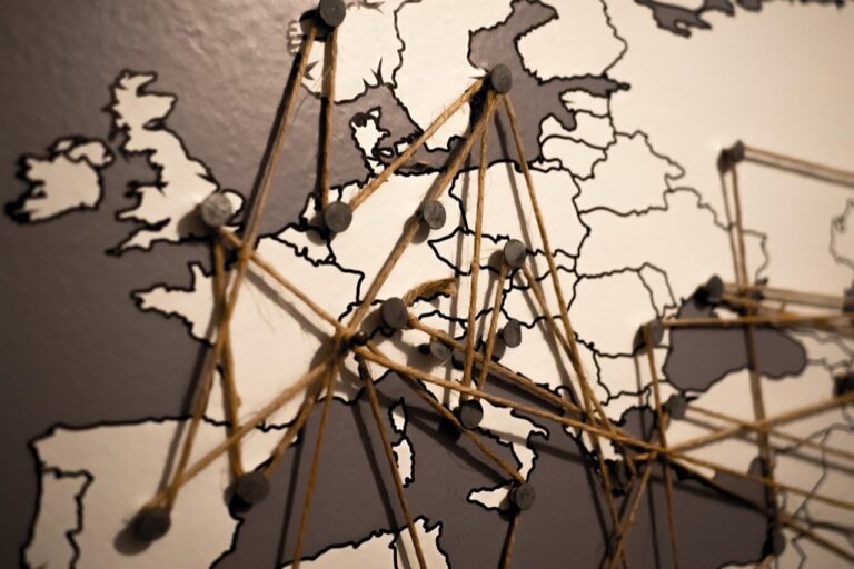
Foster International Research Partnerships
Cross-cultural research partnerships strengthen mapping accuracy through diverse perspectives and specialized regional knowledge. These collaborations combine local expertise with global datasets to create comprehensive geographic analyses.
Study Climate Change Impacts Across Cultures
Partner with meteorological institutes across different climate zones to create comparative vulnerability maps. You’ll combine satellite data with indigenous climate observations to document regional temperature patterns and precipitation changes. Collaborate with Arctic research stations, tropical weather centers, and desert monitoring facilities to build comprehensive climate impact databases. These partnerships reveal how cultural adaptation strategies vary across geographic regions, creating detailed maps that show both environmental changes and community responses.
Map Traditional Agricultural Practices Globally
Connect with agricultural universities worldwide to document crop rotation patterns and traditional farming techniques through GIS analysis. You’ll create detailed field maps showing ancient terracing systems, seasonal planting cycles, and heritage seed varieties across continents. Partner with farming cooperatives in different regions to collect GPS coordinates of traditional agricultural sites and document sustainable practices. These collaborations produce comprehensive agricultural heritage maps that preserve traditional knowledge while supporting modern food security initiatives.
Collaborate on Cross-Border Conservation Efforts
Establish partnerships with national parks and conservation organizations across international boundaries to map wildlife migration corridors and ecosystem connectivity. You’ll use shared satellite imagery and field surveys to document cross-border species movements and habitat fragmentation patterns. Work with multiple countries’ environmental agencies to create unified conservation maps that transcend political boundaries. These collaborative efforts produce detailed conservation atlases showing ecosystem health and biodiversity hotspots across international borders.
Design Cultural Tourism and Heritage Trails
Cultural tourism mapping transforms diverse communities into interconnected heritage experiences. You’ll create immersive pathways that celebrate multiple traditions while generating sustainable economic opportunities for local populations.
Create Walking Tours Highlighting Multiple Cultures
Design neighborhood walking routes that showcase cultural diversity through strategic waypoint mapping. You’ll use GPS coordinates to link cultural landmarks like temples, community centers, and historical markers across different ethnic enclaves. Map storytelling locations where guides can share migration histories and cultural adaptations. Document accessibility features including wheelchair-friendly paths and multilingual signage placement to ensure inclusive tourism experiences that connect visitors with authentic community narratives.
Map Food Heritage and Culinary Traditions
Document traditional food establishments using collaborative mapping platforms that capture family recipes and cooking techniques. You’ll create culinary corridor maps linking restaurants, markets, and food festivals across cultural districts. Record seasonal food traditions through temporal GIS layers showing harvest celebrations and cultural food events. Map ingredient sourcing networks that connect traditional dishes to local suppliers, creating comprehensive food heritage trails that preserve culinary knowledge while supporting ethnic businesses.
Develop Arts and Crafts Cultural Corridors
Map artisan workshops and cultural studios that preserve traditional crafting techniques across multiple communities. You’ll document maker spaces, galleries, and craft markets using participatory mapping with local artists. Create skill-sharing networks that connect master craftspeople with apprentices through geographic visualization. Design cultural production trails linking raw material sources to finished artwork, showcasing complete creative processes. These corridors celebrate artistic heritage while creating economic opportunities for traditional craftspeople and cultural entrepreneurs.
Conclusion
These cross-cultural mapping collaborations represent a powerful shift toward more inclusive and comprehensive geographic documentation. You’re not just creating maps—you’re building bridges between communities and preserving invaluable cultural knowledge for future generations.
The beauty of these partnerships lies in their ability to reveal connections that traditional mapping approaches often miss. When you combine diverse perspectives with modern technology you create resources that serve both academic research and real-world community needs.
Whether you’re working with Indigenous communities diaspora networks or international research partners these collaborative efforts demonstrate that the most accurate maps emerge when multiple voices contribute to the story. Your commitment to inclusive mapping practices helps ensure that no community’s geographic knowledge gets left behind in our increasingly connected world.
Frequently Asked Questions
What are cross-cultural mapping collaborations?
Cross-cultural mapping collaborations are partnerships between mapmakers from diverse cultural backgrounds who work together to create more accurate and inclusive geographic representations. These initiatives combine different perspectives and traditional knowledge systems to develop maps that better reflect the complexity of human experiences across cultures, moving beyond traditional Western-centric cartographic approaches.
How do community-driven heritage mapping projects work?
Community-driven heritage mapping projects involve local residents and cultural organizations in documenting their neighborhood’s cultural memory and stories. These initiatives use interviews with longtime residents, multilingual digital platforms, and community storytelling to capture authentic voices often overlooked by traditional cartography, creating comprehensive digital archives that connect geographical locations with personal narratives.
What are Indigenous mapping initiatives?
Indigenous mapping initiatives transform traditional geographic knowledge into digital resources by collaborating with Indigenous elders and knowledge holders. These projects document traditional navigation methods, sacred sites, and cultural landscapes using modern GIS technology while respecting cultural protocols, creating multimedia databases that link specific locations with cultural narratives and ancestral wisdom.
How does diaspora mapping reveal migration patterns?
Diaspora mapping documents family migration patterns across generations using GPS coordinates and timeline data to create interactive family trees and visualize multi-generational migration routes. It also maps cultural festivals, language preservation efforts, and community gatherings to illustrate how diaspora communities maintain cultural connections and reveal broader migration corridors and cultural influence zones.
What role does participatory mapping play in urban planning?
Participatory mapping in urban planning involves partnerships with neighborhood associations and cultural groups to map community priorities through GIS workshops. Residents identify development needs, cultural gathering spaces, and community resources using mobile GIS applications, ensuring that urban planning decisions reflect the voices and needs of diverse communities while addressing environmental justice concerns.
How do educational exchange mapping projects work?
Educational exchange mapping projects connect schools across continents to address shared challenges through collaborative cartographic learning. Students use GIS software to compare satellite imagery, create joint databases, map historical events from multiple perspectives, and participate in virtual cultural exchanges, fostering international understanding while developing technical mapping skills.
What are the benefits of international research partnerships in mapping?
International research partnerships enhance mapping accuracy by combining diverse perspectives and specialized regional knowledge. These collaborations create comparative vulnerability maps for climate change impacts, document traditional agricultural practices globally, and develop cross-border conservation maps for wildlife migration corridors, producing comprehensive datasets that transcend political boundaries and cultural limitations.
How do cultural tourism mapping initiatives support communities?
Cultural tourism mapping creates heritage trails and walking tours that highlight multiple cultures through strategic waypoint mapping of cultural landmarks. These initiatives map food heritage, culinary traditions, arts and crafts corridors, and artisan workshops, transforming diverse communities into interconnected heritage experiences while generating sustainable economic opportunities for local residents and cultural practitioners.