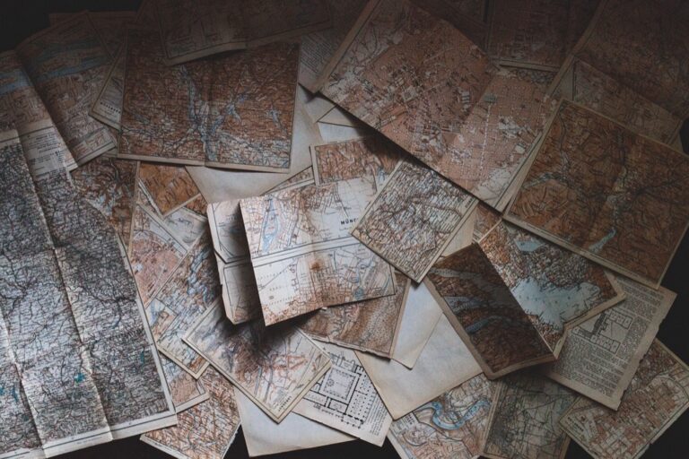
6 Best Immersive Mapping Experiences
Why it matters: Immersive mapping experiences are transforming how you explore and understand the world around you. These cutting-edge technologies blend digital innovation with physical spaces to create interactive adventures that go far beyond traditional maps.
The big picture: From augmented reality city tours to interactive museum exhibits you can now engage with geographic information in ways that make exploration more meaningful and memorable. Whether you’re planning your next adventure or looking to enhance your local discoveries these immersive mapping tools offer unprecedented opportunities to connect with places and cultures.
Disclosure: As an Amazon Associate, this site earns from qualifying purchases. Thank you!
Dive Into Interactive Digital Art Installations
Digital art installations transform traditional mapping into immersive experiences that respond to your presence and movements. These cutting-edge venues merge geographic data with artistic expression through advanced projection systems and sensor technologies.
P.S. check out Udemy’s GIS, Mapping & Remote Sensing courses on sale here…
Projection Mapping Museums and Galleries
Visit museums featuring large-scale projection mapping exhibits that transform architectural surfaces into dynamic geographic displays. The Museum of the Earth in Ithaca projects geological formations onto curved walls, allowing you to witness millions of years of geographic change in minutes. TeamLab Borderless in Tokyo creates flowing digital landscapes that respond to foot traffic patterns. These installations use multiple high-lumen projectors and real-time rendering software to create seamless geographic narratives across complex surfaces.
Interactive Floor and Wall Displays
Experience touch-responsive mapping displays that let you manipulate geographic data through natural gestures and movement. The National Geographic Museum’s interactive floor projections detect your footsteps to reveal wildlife migration patterns beneath your feet. MIT’s SandScape installation combines physical sand modeling with augmented topographic projections, updating contour lines and watershed patterns as you reshape the terrain. These systems integrate depth sensors, computer vision algorithms, and real-time geographic processing engines.
Monitor water levels in tanks and pools with the YoLink Smart Water Depth Sensor. Get real-time alerts and automate tasks with its long-range LoRa wireless and customizable settings.

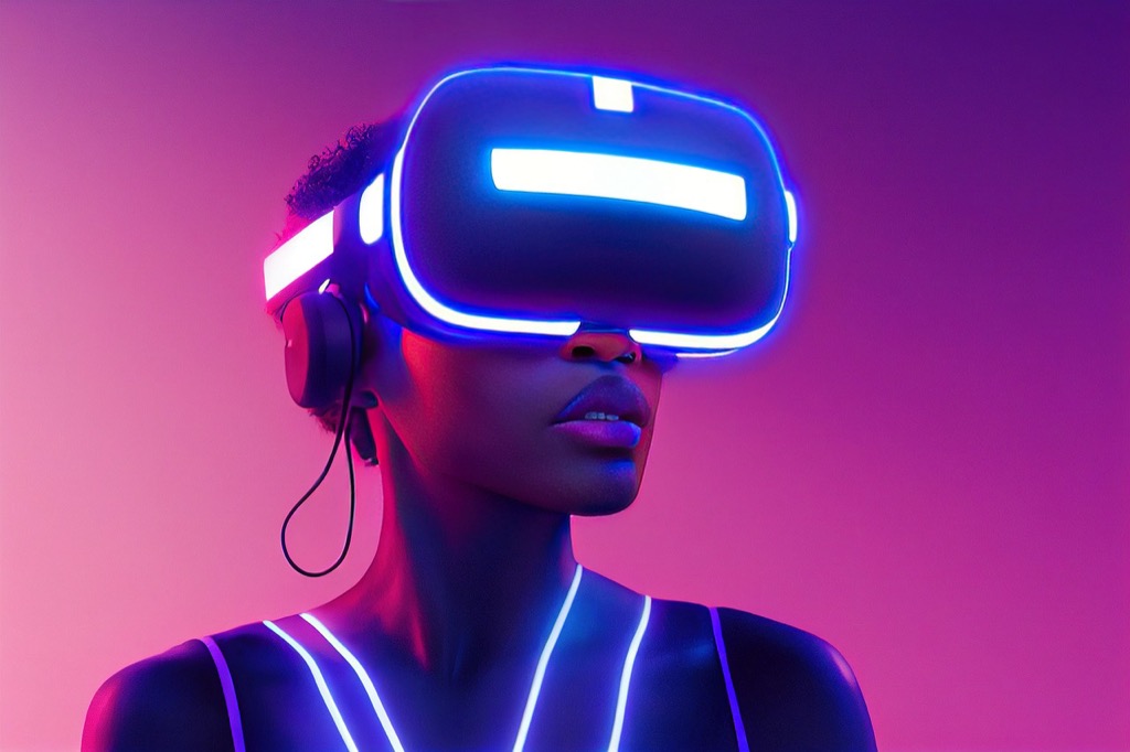
Augmented Reality Art Experiences
Explore AR art installations that overlay digital geographic information onto physical spaces through mobile devices or specialized headsets. Central Park’s AR nature trails use GPS positioning to display historical landscape changes and ecological data as you walk designated paths. The Smithsonian’s AR geology exhibits reveal underground rock formations and mineral deposits when you point your device at specific locations. These experiences combine location services, 3D modeling software, and geographic databases to create contextual digital layers.
Explore Historical Sites Through Virtual Reality Mapping
Virtual reality mapping transforms historical exploration by reconstructing ancient sites with precise geographic accuracy. You’ll discover how cutting-edge VR technology brings lost civilizations and pivotal moments back to life through immersive cartographic experiences.
Ancient Civilization Reconstructions
You can walk through digitally reconstructed cities like ancient Rome, Pompeii, and Egyptian temples using VR mapping platforms such as Rome Reborn and Ancient Earth VR. These experiences combine archaeological data with topographic mapping to recreate historically accurate environments. You’ll explore detailed street layouts, building structures, and geographic features that show how ancient civilizations adapted to their natural landscapes over centuries.
Battlefield and Historical Event Visualizations
You’ll witness major historical battles through immersive VR mapping experiences that overlay troop movements onto accurate terrain models. Platforms like Gettysburg VR and D-Day experiences use precise geographic data to show how landscape features influenced military strategies. You can follow Napoleon’s march through detailed Alpine terrain maps or experience WWI trench systems with authentic topographic accuracy that reveals tactical advantages.
Archaeological Site Virtual Tours
You can access remote archaeological sites through VR mapping tours that provide detailed geographic context impossible to experience physically. Projects like Angkor Wat VR and Machu Picchu virtual explorations use LiDAR scanning and photogrammetry to create precise digital reconstructions. You’ll navigate excavation sites, examine artifact locations within their geographic settings, and understand how ancient builders utilized natural terrain features in their construction methods.
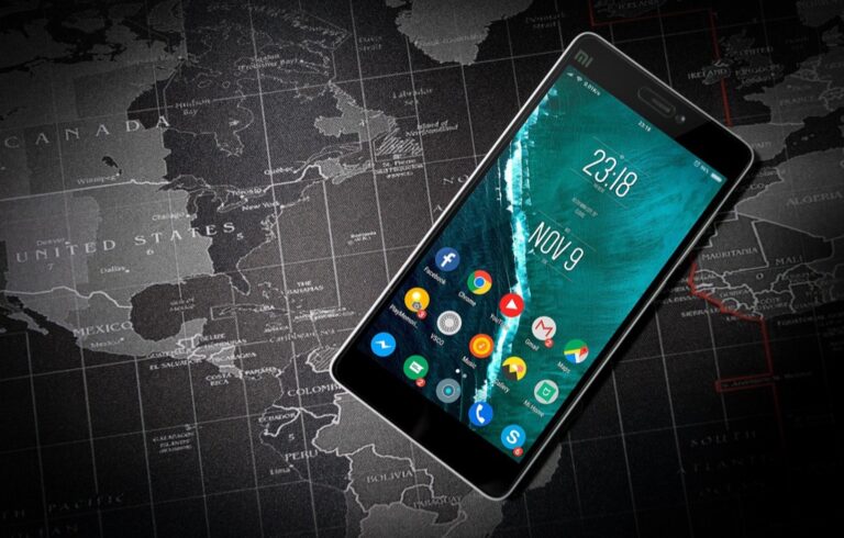
Navigate Cities Using Augmented Reality Walking Tours
AR walking tours transform urban exploration by overlaying digital information onto real-world environments through your smartphone or tablet. These immersive experiences combine precise GPS positioning with augmented reality technology to create interactive city navigation.
Experience vivid content on the Galaxy A16 5G's 6.7" display and capture stunning photos with its triple-lens camera. Enjoy peace of mind with a durable design, six years of updates, and Super Fast Charging.

AR-Enhanced Historical Landmarks
Discover historical landmarks through AR apps that reveal hidden stories and architectural details invisible to the naked eye. Apps like HistoryPin and TimeLooper use location-based triggers to display historical photographs and 3D reconstructions when you point your device at specific buildings. Experience ancient structures through digital overlays showing original facades, missing architectural elements, and period-accurate reconstructions. Access expert commentary and archival footage that activates automatically as you approach designated historical markers throughout your walking route.
Cultural District Exploration Apps
Explore cultural districts using specialized AR applications that highlight art installations, gallery locations, and performance venues along your route. Apps such as Detour and PocketSights provide curated cultural walking experiences with AR waypoint navigation and multimedia content. Navigate through arts quarters and museum districts while receiving real-time information about current exhibitions, artist studios, and upcoming cultural events. Connect with local cultural communities through AR-enabled social features that allow you to share discoveries and interact with other cultural explorers.
Self-Guided Neighborhood Discovery
Create personalized neighborhood exploration routes using AR mapping apps that adapt to your interests and walking pace. Platforms like Wander and CityMapper AR overlay neighborhood information including local businesses, hidden gems, and resident recommendations onto your camera view. Customize your discovery experience by selecting specific themes such as architecture, food culture, or local history that guide your AR-enhanced walking tour. Document your neighborhood discoveries through AR photo features that capture location-specific information and create shareable digital postcards of your urban exploration journey.
Experience Themed Entertainment Through 360-Degree Mapping
360-degree projection mapping transforms entertainment venues into immersive environments where digital content wraps around physical spaces. You’ll discover how this technology creates unforgettable experiences across theaters, theme parks, and live music events.
Immersive Theater Productions
Theatrical venues now use 360-degree mapping to transform entire auditoriums into story worlds. You can experience productions like “The Tempest” at the Royal Shakespeare Company where digital storms surround the audience and stage walls disappear into oceanic projections. Sleep No More in New York incorporates room-scale mapping that responds to actor movements, creating dynamic environments that shift with the narrative. These productions blend physical performance with digital landscapes, making you feel transported into the story’s setting rather than simply watching from the outside.
Theme Park Attraction Experiences
Disney’s attractions showcase cutting-edge 360-degree mapping in rides like “Pirates of the Caribbean: Battle for the Sunken Treasure” where entire show buildings become immersive underwater worlds. You’ll encounter projection mapping that covers walls, ceilings, and floors simultaneously, creating seamless digital environments. Universal Studios uses this technology in attractions like “The Amazing Adventures of Spider-Man” where 360-degree visuals combine with physical sets to blur reality. These experiences map digital content onto every surface, making you feel like you’re moving through living, breathing fictional worlds.
Concert and Music Festival Visuals
Music festivals employ 360-degree mapping stages that surround performers and audiences with synchronized visuals. You can witness events like Coachella’s main stage installations where LED panels and projection mapping create immersive environments that pulse with the music. Electronic music venues like Brooklyn’s Avant Gardner use ceiling-to-floor mapping systems that respond to audio frequencies, creating visual experiences that envelop the entire dance floor. These installations transform concert spaces into dynamic visual environments where the mapping technology becomes an integral part of the musical performance.
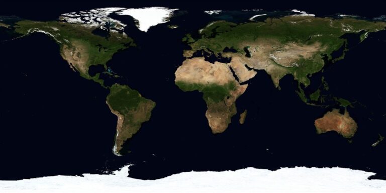
Discover Nature Through Environmental Mapping Technology
Environmental mapping technology now offers unprecedented access to natural spaces through immersive digital experiences. These advanced platforms combine satellite data with interactive visualization to bring remote ecosystems directly to your screen.
National Park Virtual Exploration
National parks utilize sophisticated LiDAR scanning and photogrammetry to create detailed virtual environments for remote exploration. You’ll access trail systems in Yellowstone through Google Earth VR and navigate Yosemite’s granite formations using National Geographic’s immersive platforms. These digital reconstructions include topographic data, wildlife tracking information, and seasonal vegetation changes, allowing you to explore protected wilderness areas without physical impact while experiencing geological features and ecosystem dynamics in remarkable detail.
Explore the resurgence of Vermont's railways. This documentary showcases the state's rail system and its modern-day impact.

Underwater Ocean Mapping Adventures
Underwater mapping technology transforms ocean exploration through 3D bathymetric visualization and submersible camera systems. You’ll dive into coral reef ecosystems using NOAA’s virtual reality platforms and explore deep-sea hydrothermal vents through Woods Hole Oceanographic Institution’s immersive displays. These experiences combine sonar mapping data with high-resolution underwater photography, revealing marine habitats, seafloor topography, and biodiversity patterns that remain inaccessible to most explorers while providing scientific accuracy in underwater terrain visualization.
Wildlife Habitat Interactive Displays
Wildlife habitat displays integrate GPS tracking data with augmented reality to visualize animal movement patterns and ecosystem relationships. You’ll observe migration routes through Smithsonian’s interactive exhibits and explore predator-prey dynamics using National Wildlife Federation’s mapping installations. These systems combine radio collar data, camera trap footage, and habitat modeling to show real-time animal locations, seasonal territory changes, and conservation challenges, providing comprehensive understanding of wildlife behavior and environmental connections.
Track vehicles and assets with the LandAirSea 54 GPS Tracker. Get real-time location alerts and historical playback using the SilverCloud app, with a long-lasting battery and discreet magnetic mount.

Participate in Educational Mapping Workshops and Classes
Professional mapping workshops and classes offer structured learning environments where you’ll master immersive mapping technologies through expert instruction and hands-on practice.
University and Museum Programs
Enroll in specialized cartography programs at institutions like Penn State’s Geography Department or the University of Wisconsin-Madison’s Cartography Lab. These programs offer semester-long courses in GIS visualization, 3D terrain modeling, and interactive mapping design. Museum partnerships with organizations like the Smithsonian Institution provide weekend workshops where you’ll learn projection mapping techniques using professional software like MadMapper and TouchDesigner. Certificate programs typically span 8-12 weeks and include access to industry-standard hardware like LiDAR scanners and drone mapping equipment.
Create accurate maps with the Yahboom handheld lidar, featuring a 0.05-12m range and IMU anti-shake. It supports APP, ROS2, and Linux, enabling wireless data transmission and real-time mapping.

Online Immersive Learning Platforms
Virtual reality training modules through platforms like Coursera and Udemy teach advanced mapping visualization using Unity 3D and Unreal Engine. Interactive webinars hosted by Esri and Autodesk demonstrate real-time collaboration techniques for creating immersive geographic experiences. Self-paced tutorials on platforms like LinkedIn Learning cover specific tools like ArcGIS Pro’s 3D mapping capabilities and Blender’s geographic visualization workflows. Live coding sessions allow you to practice Python scripting for automated map generation and data visualization in real-time classroom environments.
Hands-On Technology Training Sessions
Weekend bootcamps at makerspaces and tech centers provide intensive training on projection mapping hardware setup and calibration techniques. Industry workshops led by companies like Pixotope and Disguise teach professional-grade media server operation for large-scale mapping installations. Certification courses through vendors like Barco and Christie Digital focus on technical aspects of projector alignment and color correction for immersive environments. Collaborative sessions pair beginners with experienced practitioners to complete real mapping projects using tools like QGIS, Adobe After Effects, and custom Arduino-based sensor integration systems.
Conclusion
These immersive mapping experiences represent the future of how you’ll explore and understand the world around you. Whether you’re planning your next adventure or seeking to deepen your appreciation for local environments the technology available today offers unprecedented opportunities for discovery.
The convergence of AR VR and projection mapping technologies has created a new landscape where geographical exploration transcends traditional boundaries. You can now access remote locations experience historical events and interact with complex data in ways that were impossible just a few years ago.
Your journey into immersive mapping doesn’t have to wait. Start exploring these technologies today through local museums AR apps or online VR platforms. As these tools continue to evolve you’ll find even more innovative ways to connect with places cultures and environments that spark your curiosity.
Frequently Asked Questions
What are immersive mapping experiences?
Immersive mapping experiences combine advanced technologies like augmented reality (AR), virtual reality (VR), and projection mapping to create interactive geographic displays. These technologies transform traditional maps into dynamic, engaging experiences that respond to user movements and provide deeper understanding of places, cultures, and historical contexts through digital overlays and interactive elements.
How do interactive digital art installations work with mapping?
Interactive digital art installations use projection mapping and sensor technology to create responsive geographic displays. Museums like TeamLab Borderless and the National Geographic Museum feature installations where users can manipulate geographic data through natural gestures, creating dynamic visualizations that change based on user presence and movements.
What is virtual reality mapping used for?
Virtual reality mapping reconstructs historical sites and ancient civilizations with precise geographic accuracy. Platforms like Rome Reborn and Ancient Earth VR allow users to explore digitally recreated cities, walk through archaeological sites like Pompeii, and experience historical battles overlaid on accurate terrain models for educational purposes.
How do AR walking tours enhance urban exploration?
AR walking tours overlay digital information onto real-world environments through smartphones or tablets. These apps reveal hidden stories about historical landmarks, provide multimedia content for cultural districts, and offer self-guided neighborhood discovery with personalized exploration routes based on user interests and documented AR photo features.
What is 360-degree projection mapping in entertainment?
360-degree projection mapping transforms physical spaces into immersive environments where digital content surrounds audiences completely. This technology is used in theatrical productions, theme park attractions like Disney’s Pirates of the Caribbean, and music festivals to create seamless visual experiences that blur the line between reality and digital content.
How does environmental mapping technology work?
Environmental mapping technology uses LiDAR scanning and photogrammetry to create detailed virtual environments of natural spaces. This allows remote exploration of national parks, underwater ecosystems through 3D bathymetric visualization, and wildlife habitat displays that integrate GPS tracking data with AR to show animal movement patterns.
What educational opportunities exist for learning immersive mapping?
Educational opportunities include specialized cartography programs at universities, professional mapping workshops, and online VR training modules. Students can participate in hands-on GIS visualization classes, weekend bootcamps focusing on projection mapping skills, and self-paced tutorials on advanced mapping tools through various platforms and institutions.
What are the benefits of using immersive mapping for travel planning?
Immersive mapping provides meaningful ways to explore destinations before visiting, offering detailed visualizations of geographic features, cultural sites, and local experiences. These technologies help travelers better understand places and cultures, plan more informed itineraries, and enhance their overall travel experiences through interactive exploration tools.