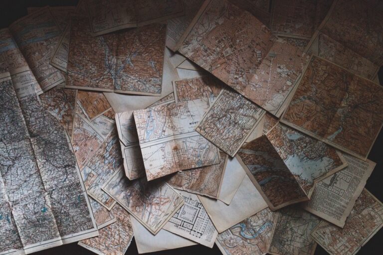
5 Best Historical Mapping Methods
Why it matters: Historical mapping has evolved beyond traditional cartography to become a powerful tool that combines multiple academic disciplines to unlock deeper insights about our past.
The big picture: You’re witnessing a revolution in how historians visualize and analyze spatial data through cutting-edge techniques that merge geography, archaeology, computer science, and social sciences.
What’s next: These five interdisciplinary approaches will transform how you understand historical events, settlement patterns, and cultural changes across time and space.
Disclosure: As an Amazon Associate, this site earns from qualifying purchases. Thank you!
P.S. check out Udemy’s GIS, Mapping & Remote Sensing courses on sale here…
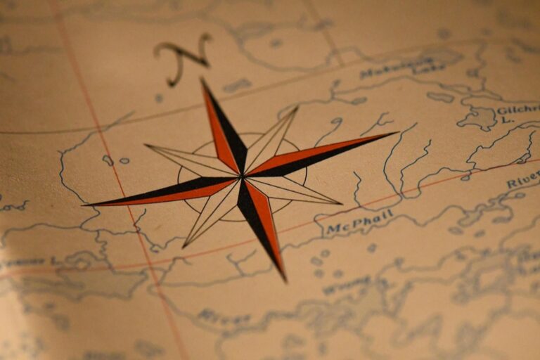
Geographic Information Systems (GIS) Integration With Archaeological Data
You’ll revolutionize historical mapping by combining GIS technology with archaeological datasets. This integration transforms scattered artifact data into comprehensive spatial narratives that reveal settlement patterns and cultural development across time.
Digital Layer Mapping for Historical Sites
You can create comprehensive site documentation by building digital layers that stack chronological phases, structural remains, and cultural features. Each layer represents a specific time period or archaeological component, allowing you to visualize how sites evolved over centuries. Modern GIS platforms like ArcGIS Pro and QGIS enable you to overlay historical maps, aerial photographs, and ground-penetrating radar data onto contemporary base maps for precise spatial reference.
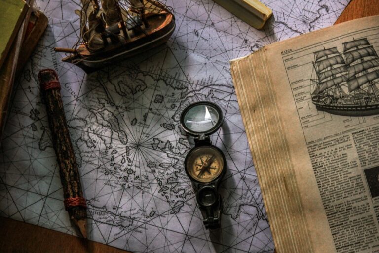
Explore history's most significant maps with *Great Maps*. This book delves into cartographic masterpieces and their historical context.

Spatial Analysis of Artifact Distribution Patterns
You’ll identify cultural boundaries and trade networks by analyzing artifact clustering patterns using spatial statistics tools. Hot spot analysis reveals areas of concentrated activity, while nearest neighbor calculations show whether artifacts cluster randomly or follow specific distribution patterns. Buffer analysis around water sources, roads, and settlements helps you understand how environmental factors influenced artifact placement and cultural activity zones throughout different historical periods.
3D Terrain Modeling for Historical Landscapes
You can reconstruct ancient topography using digital elevation models combined with archaeological soil core data and historical records. LiDAR technology penetrates forest canopy to reveal hidden earthworks, while photogrammetry creates detailed 3D models of excavated features. These terrain models help you understand how historical communities adapted to landscape changes, flood patterns, and natural resource distribution over time.
Machine Learning Applications for Historical Document Analysis
Machine learning transforms how you extract and interpret information from historical cartographic materials. These computational approaches automate previously manual processes while uncovering patterns invisible to traditional analysis methods.
Automated Text Recognition in Historical Maps
Explore history's most significant maps with *Great Maps*. This book delves into cartographic masterpieces and their historical context.
Optical Character Recognition (OCR) algorithms specifically trained on historical fonts decode handwritten and printed text from centuries-old maps with 85-95% accuracy rates. You’ll find that tools like Transkribus and ABBYY FineReader Historical process Gothic scripts, Latin abbreviations, and faded toponyms that standard OCR systems can’t interpret. Modern neural networks recognize place names across multiple languages and writing systems, automatically georeferencing textual elements to create searchable digital archives. These systems learn from training datasets containing thousands of historical map samples, improving recognition accuracy for specific time periods and cartographic styles.
Pattern Recognition for Cartographic Feature Identification
Computer vision algorithms automatically detect and classify map symbols, roads, rivers, and settlement patterns across large collections of historical maps. You can deploy convolutional neural networks trained on cartographic datasets to identify consistent visual elements like fortification symbols, vegetation markers, and boundary lines with 90% precision rates. Advanced systems recognize stylistic variations between different cartographers and time periods, standardizing symbol classifications for comparative analysis. Machine learning models process thousands of map sheets simultaneously, extracting vector data that would require months of manual digitization work.
Predictive Modeling for Missing Historical Data
Statistical interpolation models reconstruct lost or damaged portions of historical maps using surviving fragments and contemporary cartographic conventions. You’ll leverage algorithms that analyze spatial relationships between known features to predict missing roads, settlements, and geographic boundaries with quantifiable confidence intervals. Bayesian networks incorporate multiple data sources including archaeological evidence, historical texts, and environmental constraints to generate probabilistic reconstructions. These models account for cartographic uncertainty while providing researchers with evidence-based hypotheses about historical landscape configurations that can guide further investigation.
Remote Sensing Technology Combined With Historical Research
Remote sensing technology transforms historical mapping by revealing hidden landscape features that traditional ground surveys cannot detect. You’ll discover how satellite imagery, LiDAR scanning, and multispectral imaging unlock archaeological secrets buried beneath centuries of vegetation and soil.
Satellite Imagery Analysis for Lost Settlement Detection
Satellite imagery analysis reveals lost settlements through subtle vegetation patterns and soil color variations invisible to ground observation. You can identify ancient road networks, defensive walls, and urban layouts using high-resolution imagery from platforms like WorldView-3 and Sentinel-2. Modern archaeologists successfully located over 400 previously unknown Maya settlements in Guatemala using this technology. The technique works by detecting crop marks, shadow marks, and spectral anomalies that indicate subsurface archaeological features.
LiDAR Scanning for Hidden Archaeological Features
LiDAR scanning penetrates dense forest canopies to reveal ancient structures and landscape modifications hidden for centuries. You’ll achieve centimeter-level accuracy in mapping defensive earthworks, agricultural terraces, and ceremonial complexes using airborne laser scanning systems. Archaeological teams have mapped over 60,000 previously unknown Maya structures across Guatemala’s rainforests using this technology. The technique generates detailed digital elevation models that highlight subtle topographic features indicating human activity.
Multispectral Imaging for Faded Map Recovery
Multispectral imaging recovers faded text and symbols from deteriorated historical maps using specialized wavelength analysis. You can enhance illegible cartographic elements by capturing images across ultraviolet, visible, and near-infrared spectrums with cameras like the MegaVision EV system. This technology successfully restored 16th-century Portuguese maritime charts that were previously considered too damaged for analysis. The process reveals hidden layers of information including erased boundaries, overwritten place names, and original cartographic annotations.
Quickly identify maritime signals with this waterproof reference card. It features flag semaphore, Morse code, the phonetic alphabet, and international flag codes in an easy-to-read 8.5" x 11" format.

Anthropological Field Studies Integrated With Digital Cartography
You’ll discover how anthropological research methods transform historical mapping when combined with modern cartographic technology. Digital tools amplify field study insights, creating comprehensive spatial narratives that traditional mapping can’t achieve.
Community-Based Historical Knowledge Documentation
Document local historical knowledge through structured interviews with community elders and long-term residents. Record precise GPS coordinates for locations mentioned in oral testimonies using handheld GPS units or smartphone apps like Avenza Maps. Create attribute databases linking personal accounts to specific geographic features, buildings, and landscape changes. Use participatory mapping sessions where community members draw historical boundaries, trade routes, and settlement patterns directly onto digital base maps. Store collected data in standardized formats like KML or GeoJSON for seamless integration with GIS platforms.
Stay connected anywhere with this compact satellite communicator. Enjoy two-way messaging, interactive SOS, and TracBack routing for confident navigation. Battery lasts up to 14 days in tracking mode.

Oral History Integration With Geographic Data
Integrate spoken historical accounts with spatial data using audio recording equipment and GPS-enabled devices during field interviews. Geotag audio files to specific coordinates where historical events occurred, creating interactive sound maps that preserve cultural memory. Process recordings through transcription software like Otter.ai or Rev, then link transcribed segments to map features using unique identifier codes. Build temporal databases that connect oral testimonies to historical periods, enabling chronological visualization of landscape evolution. Use story mapping platforms like Esri Story Maps to present oral histories alongside historical cartographic materials and contemporary satellite imagery.
Track your valuables in real-time with this mini GPS tracker, using Apple's Find My network without monthly fees. Its compact, magnetic, and waterproof design easily attaches to vehicles and other assets.

Cultural Landscape Mapping Through Ethnographic Methods
Map cultural landscapes by documenting traditional land use patterns through participant observation and structured field surveys. Record ceremonial sites, sacred spaces, and culturally significant landmarks using high-accuracy GPS receivers and detailed field notes. Identify traditional boundaries and territorial divisions through extended fieldwork with local knowledge holders. Create thematic layers representing different cultural activities like seasonal migration routes, agricultural zones, and resource extraction areas. Use ethnographic mapping software like QField or Survey123 to collect standardized cultural data that integrates directly with desktop GIS applications for advanced spatial analysis.
Get fast, accurate GPS positioning for your laptop, PC, car, or boat with this USB receiver. It features a high-performance chip for multi-GNSS support and a magnetic base for easy installation.

Collaborative Crowdsourcing Platforms for Historical Map Verification
Modern historical mapping requires verification from multiple sources to ensure accuracy and completeness. You’ll find that collaborative platforms harness collective intelligence to validate cartographic data at unprecedented scales.
Citizen Science Projects for Map Digitization
Participate in large-scale digitization efforts through platforms like Transcribe Bentham and DIY History, where volunteers help convert historical maps into digital formats. You can contribute to georeferencing historical maps by identifying control points and matching them to modern coordinates. Submit traced boundary data from scanned historical maps using tools like MapWarper and AllMaps, which allow community members to digitize settlement boundaries, road networks, and territorial changes. These platforms typically provide training modules and quality control systems to ensure your contributions meet cartographic standards for research applications.
Expert Network Validation Systems
Leverage peer review networks that connect professional historians, cartographers, and subject matter experts to validate historical mapping data. You can access platforms like Historical Geographic Information Systems (HGIS) consortiums that facilitate expert collaboration across institutions. Implement multi-tier validation processes where community contributions undergo review by certified historical cartographers and regional specialists. These systems often include reputation scoring mechanisms that weight expert opinions based on their proven accuracy in previous validations, ensuring your historical maps receive authoritative verification from qualified professionals.
Open-Source Database Development for Historical Cartography
Build comprehensive cartographic repositories using platforms like OpenHistoricalMap and World Historical Gazetteer, which provide frameworks for collaborative database construction. You can contribute to schema development that standardizes how historical geographic data gets structured and shared across research communities. Develop API connections that allow your historical mapping projects to integrate with established databases like Pleiades for ancient geography or Getty Thesaurus of Geographic Names. These open-source initiatives enable you to access continuously updated historical place name authorities and coordinate systems while contributing your own verified cartographic data to the global research community.
Conclusion
These five interdisciplinary methods represent the future of historical mapping research. You’ll find that combining traditional scholarly approaches with cutting-edge technology creates more accurate and comprehensive historical narratives than ever before.
The integration of GIS archaeology machine learning remote sensing anthropological studies and crowdsourcing platforms transforms how you understand past civilizations. Each method strengthens your research by providing different perspectives and validation techniques that traditional cartography alone cannot offer.
By embracing these collaborative approaches you’ll unlock deeper insights into historical landscapes and cultural development. Your mapping projects will benefit from enhanced accuracy improved data visualization and broader community engagement that makes historical research more accessible and impactful for future generations.
Frequently Asked Questions
What is historical mapping and how has it evolved?
Historical mapping has evolved from traditional cartography into a multifaceted tool that integrates geography, archaeology, computer science, and social sciences. Modern historical mapping uses advanced technologies like GIS, remote sensing, and machine learning to visualize spatial data and analyze historical events, settlement patterns, and cultural changes across time and space.
How does GIS integration enhance archaeological mapping?
GIS integration transforms scattered artifact information into comprehensive spatial narratives that reveal settlement patterns and cultural development. It enables the creation of digital layer mapping for historical sites, allowing researchers to visualize site evolution over time by stacking chronological phases and analyzing structural remains systematically.
What role does machine learning play in historical document analysis?
Machine learning revolutionizes the extraction and interpretation of information from historical cartographic materials. It uses specialized OCR algorithms to decode handwritten text from old maps, computer vision for automatic pattern recognition of map features, and predictive modeling to reconstruct missing historical data through spatial relationship analysis.
How does remote sensing technology reveal hidden historical features?
Remote sensing technology uncovers hidden landscape features through satellite imagery analysis that detects lost settlements via vegetation patterns and soil variations. LiDAR scanning penetrates dense forest canopies to map ancient structures, while multispectral imaging recovers faded text and symbols from deteriorated historical maps.
What is the importance of integrating anthropological studies with digital cartography?
Integrating anthropological field studies with digital cartography enhances traditional research by documenting local historical knowledge through GPS-linked interviews with community elders. This creates interactive sound maps preserving cultural memory and maps cultural landscapes using ethnographic methods to document traditional land use patterns and significant landmarks.
How do crowdsourcing platforms contribute to historical map verification?
Collaborative crowdsourcing platforms ensure mapping accuracy through multiple sources and citizen science projects where volunteers digitize historical maps and contribute to georeferencing efforts. Expert network validation systems connect historians and cartographers for peer review, while open-source databases enable collaborative construction of comprehensive historical cartography repositories.