6 Best Handheld GPS vs Smartphone for Fieldwork That Pros Choose
Why it matters: Your choice between a handheld GPS device and smartphone can make or break your fieldwork efficiency, especially when you’re miles from cellular coverage.
Navigate with ease using this 7-inch GPS navigator, featuring real-time voice guidance and pre-loaded 2025 maps. Customize routes based on your vehicle type to avoid restrictions and receive speed & red light warnings.

The big picture: While smartphones offer convenience and familiar interfaces, dedicated GPS units deliver superior battery life, durability, and accuracy in challenging outdoor conditions where your work demands precision.
Experience vivid content on the Galaxy A16 5G's 6.7" display and capture stunning photos with its triple-lens camera. Enjoy peace of mind with a durable design, six years of updates, and Super Fast Charging.

What’s ahead: We’ll break down the top 6 handheld GPS devices and compare them against smartphone capabilities to help you choose the right navigation tool for your specific fieldwork needs.
Disclosure: As an Amazon Associate, this site earns from qualifying purchases. Thank you!
P.S. check out Udemy’s GIS, Mapping & Remote Sensing courses on sale here…
Battery Life: Comparing Power Performance in the Field
Power management becomes critical when you’re miles from civilization with no charging options available.
Handheld GPS Battery Endurance Advantages
Handheld GPS units deliver exceptional battery performance that outpaces smartphones significantly. Most dedicated GPS devices like the Garmin GPSMAP 66i provide 35+ hours of continuous operation on standard AA batteries. You’ll find models such as the DeLorme InReach SE offering up to 100 hours in tracking mode with extended battery packs. These devices maintain consistent power consumption regardless of signal strength, unlike smartphones that drain rapidly when searching for cellular towers in remote areas.
Smartphone Battery Limitations During Extended Use
Smartphones struggle with power management during extended fieldwork sessions due to multiple background processes. Your iPhone or Android device typically lasts 8-12 hours with GPS active, but this drops to 4-6 hours when running mapping apps continuously. Screen brightness, cellular searching, and app notifications consume additional power that you can’t easily eliminate. Cold weather further reduces smartphone battery capacity by 20-40%, making them unreliable for winter fieldwork without external power sources.
The Samsung Galaxy S25 Ultra adapts to your needs with intelligent AI assistance. Capture stunning photos and videos with the AI Camera's noise reduction and enjoy effortless switching from your old device.

Power Management Strategies for Both Devices
Optimize your GPS device’s settings by reducing screen brightness and enabling power-save modes during non-critical periods. Carry spare AA batteries for handheld units or invest in solar charging panels for extended expeditions. For smartphones, enable airplane mode with GPS-only functionality, close unnecessary apps, and use external battery packs rated for outdoor conditions. Consider carrying both devices as backup systems, using the smartphone for detailed mapping and the GPS unit for primary navigation and emergency communication.
Durability and Weather Resistance: Built for Outdoor Conditions
While battery life keeps your navigation tools running, durability determines whether they’ll survive harsh fieldwork environments. You’ll face significant differences between rugged GPS units and consumer smartphones when working in challenging outdoor conditions.
Rugged Construction of Handheld GPS Units
Stay connected anywhere with this compact satellite communicator. Enjoy two-way messaging, interactive SOS, and TracBack routing for confident navigation. Battery lasts up to 14 days in tracking mode.

Handheld GPS units feature military-grade construction designed for extreme fieldwork conditions. The Garmin GPSMAP 66sr withstands 5-foot drops and meets MIL-STD-810 standards for thermal shock resistance. You’ll find rubber armor coating, reinforced corner guards, and impact-resistant screens on most professional units. Devices like the Garmin eTrex 32x operate in temperatures ranging from -4°F to 158°F (-20°C to 70°C), making them reliable in desert heat or arctic conditions.
Smartphone Fragility and Protection Options
Smartphones weren’t designed for rugged outdoor use, requiring additional protection for fieldwork applications. You’ll need heavy-duty cases like the OtterBox Defender or Pelican Protector to achieve basic drop protection. Even with cases, smartphones remain vulnerable to extreme temperatures, with most shutting down below 32°F (0°C) or above 95°F (35°C). Screen cracking remains a common issue despite protective cases, and touchscreen functionality often fails when wearing gloves or in wet conditions.
Water and Impact Resistance Comparisons
Professional GPS units offer superior water resistance ratings compared to most smartphones. The Garmin GPSMAP 67i provides IPX7 waterproofing, surviving 30 minutes underwater at 1 meter depth. You can operate these devices in heavy rain, snow, or even brief submersion. Standard smartphones typically offer IP67 or IP68 ratings, but many protective cases reduce water resistance. GPS units also handle repeated impacts better, with shock-mounted internal components that smartphones lack.
GPS Accuracy and Signal Reception: Precision in Remote Areas
Signal quality becomes critical when you’re navigating through dense forests or mountainous terrain where every meter counts for accurate positioning.
Dedicated GPS Receiver Technology Benefits
Get precise location data on your Bluetooth-enabled device with the Garmin GLO 2. This receiver combines GPS and GLONASS for accuracy and offers up to 13 hours of battery life on a single charge.

Professional handheld GPS units feature specialized receiver chips designed exclusively for satellite navigation. These dedicated receivers like those in the Garmin eTrex 32x capture weaker signals more effectively than smartphone chipsets. You’ll experience superior accuracy with WAAS-enabled units achieving 3-meter precision compared to smartphones’ typical 5-10 meter accuracy. The focused antenna design eliminates interference from cellular radios and Wi-Fi components that compromise smartphone GPS performance.
Smartphone GPS Limitations in Dense Cover
Smartphone GPS struggles significantly under heavy tree canopy or in deep valleys where signal strength weakens. Your phone’s antenna must compete with multiple radio functions including cellular LTE and Bluetooth connections. Most smartphones lose GPS lock entirely when signal strength drops below -140 dBm while dedicated units maintain tracking at -150 dBm or lower. The integrated design prioritizes battery efficiency over signal sensitivity, resulting in frequent position drift during challenging conditions.
Satellite System Support Differences
Handheld GPS devices typically support multiple satellite constellations including GPS, GLONASS, Galileo, and BeiDou simultaneously. You’ll receive signals from 20-30 satellites compared to smartphones that often limit constellation access to conserve battery power. Professional units like the Garmin GPSMAP 66sr can track all four systems concurrently, providing faster position fixes and maintaining accuracy when individual satellites are blocked by terrain or vegetation.
Screen Visibility and Usability: Reading Your Device Outdoors
Reading your navigation device clearly becomes critical when you’re making split-second decisions in challenging field conditions. The display technology and interface design significantly impact your ability to access vital information quickly and accurately.
Handheld GPS Display Advantages in Bright Sunlight
Transflective displays on handheld GPS units excel in direct sunlight conditions. These specialized screens, like those on the Garmin GPSMAP 66i, use ambient light to enhance visibility rather than fighting against it. The high-contrast design ensures you’ll read coordinates and waypoints clearly even at noon on snow-covered terrain. Anti-glare coatings reduce reflection while maintaining sharp text definition. You won’t need to shield your device or strain your eyes when checking critical navigation data.
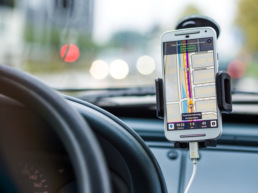
Smartphone Screen Challenges in Field Conditions
Smartphone screens struggle with outdoor visibility due to glossy surfaces and limited brightness. Even flagship devices with maximum brightness settings become nearly unreadable in direct sunlight, forcing you to cup your hands around the screen. Reflective glass surfaces create mirror-like glare that obscures map details and coordinate readings. Cold temperatures reduce touchscreen responsiveness, while extreme heat can cause automatic brightness dimming. You’ll find yourself constantly adjusting screen angles and brightness levels throughout the day.
Button vs Touchscreen Operation Considerations
Physical buttons on GPS units provide reliable operation with gloves and wet hands. You’ll navigate menus and mark waypoints without removing protective gear, maintaining dexterity in harsh conditions. Tactile feedback ensures accurate input even when you can’t look directly at the device. Smartphone touchscreens require bare fingers or specialized gloves for proper function, limiting usability in cold weather. Wet surfaces and condensation frequently cause accidental touches and navigation errors that can compromise your route planning.
Cost Analysis: Initial Investment and Long-Term Value
Understanding the financial implications of your navigation choice extends beyond the initial purchase price. You’ll need to evaluate both upfront costs and ongoing expenses to determine the true value of handheld GPS units versus smartphones for fieldwork.
Handheld GPS Price Range and Features
You’ll find handheld GPS units ranging from $150 for basic models like the Garmin eTrex 10 to $700 for advanced units such as the GPSMAP 66i with satellite communication. Mid-range options like the eTrex 32x cost around $300 and offer topographic maps, color displays, and expanded memory. Premium features including two-way satellite messaging, weather alerts, and preloaded maps significantly increase the price point.
Smartphone Costs and Data Plan Requirements
Your smartphone’s navigation capabilities depend heavily on data connectivity, with unlimited plans costing $60-100 monthly. Offline mapping apps like Gaia GPS charge $20-40 annually for premium features and detailed topographic maps. You’ll also need protective cases ($30-80) and external battery packs ($25-60) for reliable fieldwork performance. These recurring costs accumulate substantially over time.
Total Cost of Ownership Comparison
Over three years, a $400 handheld GPS unit costs approximately $450 including spare batteries and memory cards. Smartphone navigation expenses reach $2,400-3,600 when factoring in data plans, protective gear, and mapping subscriptions. You’ll save 80-90% in long-term costs by choosing dedicated GPS hardware, making handheld units significantly more economical for regular fieldwork despite higher initial investment.
Software and Mapping Capabilities: Navigation Tools Comparison
The software powering your navigation device determines how effectively you’ll navigate and collect data in the field. Each platform offers distinct advantages for different fieldwork requirements.
Specialized Mapping Software for Handheld GPS
Handheld GPS units run proprietary software designed specifically for outdoor navigation and data collection. Garmin’s BaseCamp and Magellan’s VantagePoint provide comprehensive trip planning with elevation profiles and waypoint management. These platforms support topographic maps, hunting maps, and marine charts with detailed contour lines and terrain features. You’ll access specialized overlays like property boundaries, hunting units, and geological surveys that aren’t available on consumer mapping apps.
Smartphone App Ecosystem and Offline Options
Smartphones offer extensive app ecosystems with specialized fieldwork applications beyond basic navigation. Apps like Gaia GPS, AllTrails Pro, and onX Hunt provide offline mapping with layer customization and field data collection tools. You’ll find industry-specific applications for forestry, surveying, and agricultural work that integrate with existing workflows. However, offline map storage consumes significant device memory, and app reliability varies across different operating systems and hardware configurations.
Data Collection and Export Features
Professional GPS units excel at structured data collection with customizable attribute forms and standardized export formats. You’ll capture waypoints with custom fields, track detailed routes, and export data directly to GIS software like ArcGIS or QGIS. Smartphone apps offer similar functionality but often require additional steps for professional data integration. GPS units typically support industry-standard formats like GPX, KML, and Shapefile, while smartphone exports may need conversion for compatibility with professional mapping software.
Conclusion
Your choice between a handheld GPS device and smartphone for fieldwork ultimately depends on your specific requirements and working conditions. If you’re working in remote areas with extreme weather conditions or need reliable navigation for extended periods you’ll find dedicated GPS units offer superior performance and long-term value.
For casual fieldwork or urban environments smartphones provide convenience and versatility at a lower upfront cost. However the hidden expenses of data plans and protective equipment can quickly add up making handheld GPS units more cost-effective over time.
Consider investing in both devices if your budget allows. This approach gives you the reliability of professional GPS hardware while maintaining the communication and app capabilities of your smartphone as a backup solution for comprehensive field operations.
Frequently Asked Questions
What is the main difference between handheld GPS devices and smartphones for fieldwork?
Navigate confidently with the Garmin eTrex 10. This rugged, waterproof GPS features a worldwide basemap, fast positioning with WAAS, GLONASS and HotFix, and supports paperless geocaching.

Handheld GPS devices are specifically designed for outdoor navigation with superior battery life, durability, and GPS accuracy. They can last 35+ hours on batteries and withstand harsh conditions. Smartphones offer convenience and versatile apps but typically last only 8-12 hours with GPS active and require protective cases for outdoor use.
How long do batteries last on GPS devices versus smartphones?
Handheld GPS units like the Garmin GPSMAP 66i can run over 35 hours on standard AA batteries, with some models extending up to 100 hours in tracking mode. Smartphones typically last only 8-12 hours with GPS active, and even less when continuously using mapping applications.
Are handheld GPS units more durable than smartphones?
Yes, handheld GPS units feature military-grade construction designed to withstand extreme conditions, drops, and temperature variations. Smartphones require heavy-duty cases for basic protection and remain vulnerable to extreme temperatures, screen damage, and harsh outdoor environments.
Which device provides better GPS accuracy?
Dedicated GPS units offer superior accuracy using specialized receiver technology that captures weaker signals more effectively than smartphones. They support multiple satellite constellations simultaneously and maintain tracking in challenging conditions like dense forest cover, while smartphones often lose GPS lock more easily.
Can I read the screen clearly in bright sunlight?
Handheld GPS units feature transflective displays that excel in direct sunlight, ensuring high visibility and clarity. Smartphones struggle with outdoor readability due to glossy surfaces and limited brightness, making them difficult to read in bright field conditions.
What are the long-term costs of each option?
While handheld GPS units cost $150-700 initially, total ownership over three years averages around $450. Smartphone navigation expenses can reach $2,400-3,600 including data plans and protective gear, making dedicated GPS hardware 80-90% more cost-effective long-term.
Which device is better for professional data collection?
Handheld GPS units excel in structured data collection with specialized software designed for outdoor work. They support industry-standard formats for seamless GIS integration and offer professional mapping options like topographic overlays that aren’t available on consumer smartphone apps.