5 Best Surveying Techniques for Mapping
Surveying has been an essential thread in the fabric of civilization, shaping the world as we know it. From ancient rope stretchers to satellite-based systems, let’s trek through the pivotal milestones that have revolutionized the way we measure our world.
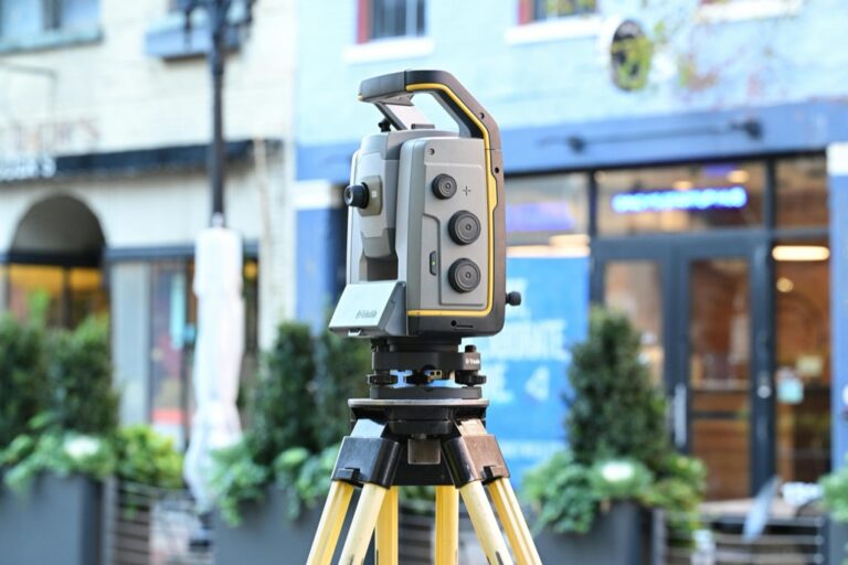
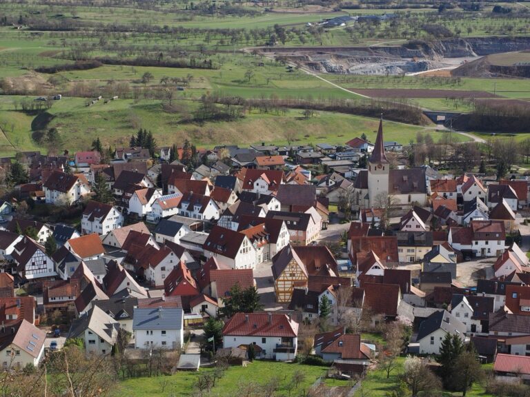
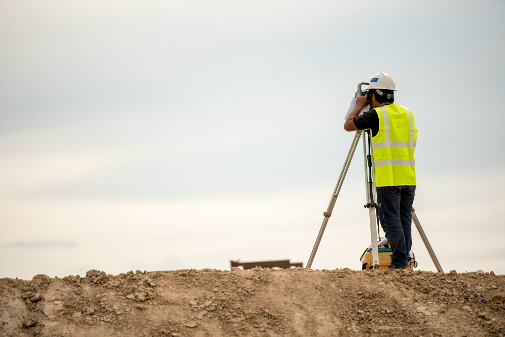
Surveying, an ancient practice dating back to the pyramids, is the crucial art and science of measuring land for development. It ensures the accurate placement of roads and homes. From a simple rope and keen eye in the past, today’s surveyors employ a high-tech arsenal including GPS devices, drones, and advanced software.
Navigate confidently with this GPS device featuring a bright 5" touchscreen and detailed North American maps. Stay informed with alerts for speed changes, school zones, and sharp curves, plus Tripadvisor ratings for points of interest.

The precision of surveying is essential, transforming the three-dimensional world into a two-dimensional representation, blending art and mathematics to narrate the terrain on paper or screen.
Disclosure: As an Amazon Associate, this site earns from qualifying purchases. Thank you!
P.S. check out Udemy’s GIS, Mapping & Remote Sensing courses on sale here…
Pre-18th Century Methods
Back in the day, surveying was a game of basic tools and complex skills. The ancient Egyptians used simple geometry and ropes knotted at regular intervals—known as rope stretchers—to parcel out land along the Nile. It’s mind-boggling to think about the accuracy they achieved with such rudimentary equipment.
In medieval Europe, the Groma and Dioptra were the go-to devices, enabling surveyors to align sights and measure angles with a level of precision that was nothing to scoff at. These instruments were the forerunners to the more sophisticated tools that would come later. Picture trying to divide land for a bustling market with just a stick and your wits—that was the challenge they faced.
The limitations of these methods were clear, though. Without the ability to measure long distances accurately, large-scale projects were fraught with guesswork. It’s like trying to bake a cake without measuring cups—sometimes you’d get it right, but often you’d end up with a mess.
The Birth of Geodetic Surveying
Geodetic surveying was a game-changer, taking surveying from the local field to the global stage. It was born out of the need to understand the Earth’s shape and size, a puzzle that had intrigued scholars for centuries. The 18th century saw the first geodetic surveys, where the curvature of the Earth was factored into calculations for the first time.
This era brought about the Great Trigonometrical Survey of India, an epic endeavor to map the subcontinent with unprecedented precision. It was a Herculean task that spanned decades, involving measuring vast distances across rugged terrain. Think of it as trying to solve a massive jigsaw puzzle, where each piece is a mountain or a valley.
Geodetic surveying laid the foundation for modern mapping and navigation. It allowed for the creation of maps that could guide explorers across oceans and through uncharted lands. It was like switching on a light in a dark room, suddenly revealing the contours and shapes that had been hidden.
Advancements in the 19th Century
The 19th century was a hotbed of innovation in surveying. The introduction of precise leveling instruments meant that surveyors could measure differences in elevation with an accuracy that would make a micrometer jealous. This was crucial for everything from constructing railways to preventing floods.
Photogrammetry also came into the picture, allowing surveyors to capture the landscape from a bird’s-eye view using cameras mounted on balloons or kites. It was like having a hawk’s vision, surveying land from the heavens. These techniques provided a fresh perspective, literally giving us the bigger picture.
Surveyors began to unravel the mysteries of the Earth’s magnetic field, too. They mapped variations in magnetic declination, which was essential for navigation at sea. Mariners could now sail with more confidence, knowing their compasses were guided by the most accurate magnetic maps of the time.
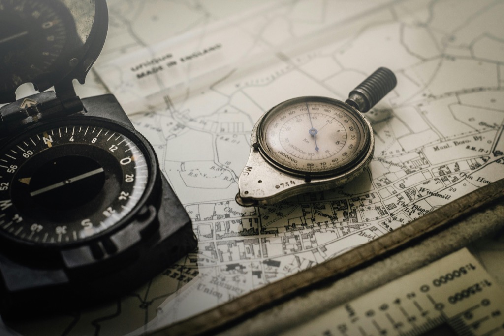
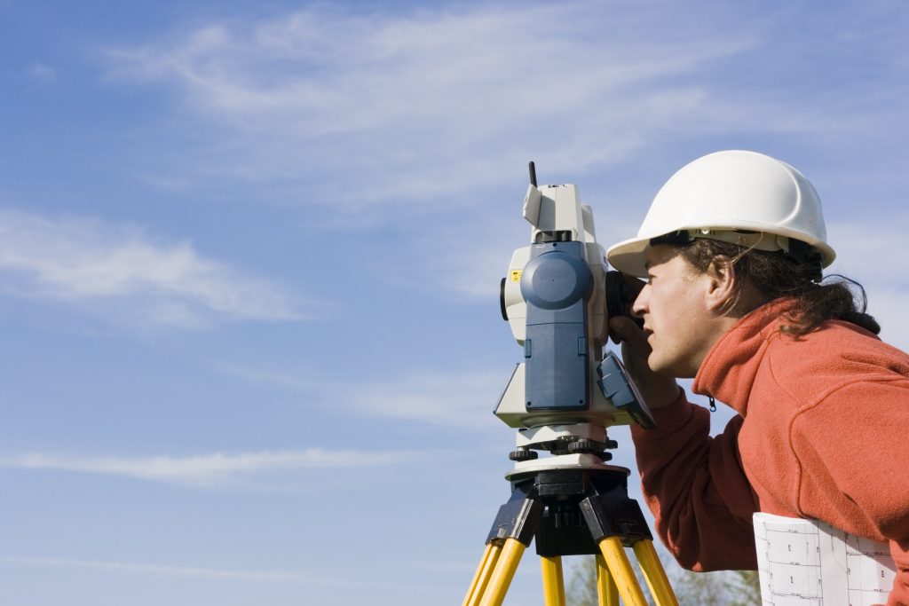
Theodolite Revolution
The theodolite, a precision instrument for measuring angles in the horizontal and vertical planes, brought about a revolution in surveying. It was the Swiss Army knife of its day, versatile and reliable. Surveyors could now pinpoint locations with a level of precision that was unheard of before.
The theodolite’s evolution continued through the centuries, becoming more sophisticated with every iteration. By the 19th century, it was equipped with telescopes and more precise angular measurement capabilities. It was like going from an old tube TV to a high-definition flat-screen—everything was suddenly clearer.
I recall using a theodolite for the first time; it was like being initiated into a secret society of precision. Aligning the crosshairs on a distant target, I felt connected to the long lineage of surveyors who had shaped the world one angle at a time.
Aerial Surveying Takes Off
Aerial surveying truly took off with the advent of the airplane. Suddenly, the sky was no longer the limit—it was the new frontier. Cameras mounted on aircraft could capture vast swathes of land in a single shot. It was like zooming out on Google Earth long before the internet was even a thing.
This method revolutionized how we approached mapping and planning. Large-scale projects that would have taken years to survey from the ground could be completed in a fraction of the time. It was like switching from a horse-drawn carriage to a sports car in terms of speed and efficiency.
Aerial surveying also played a critical role during wartime. Armed with detailed aerial photographs, military strategists could devise their plans with a level of insight that was previously impossible. It was the ultimate reconnaissance tool, giving eyes in the sky to those on the ground.
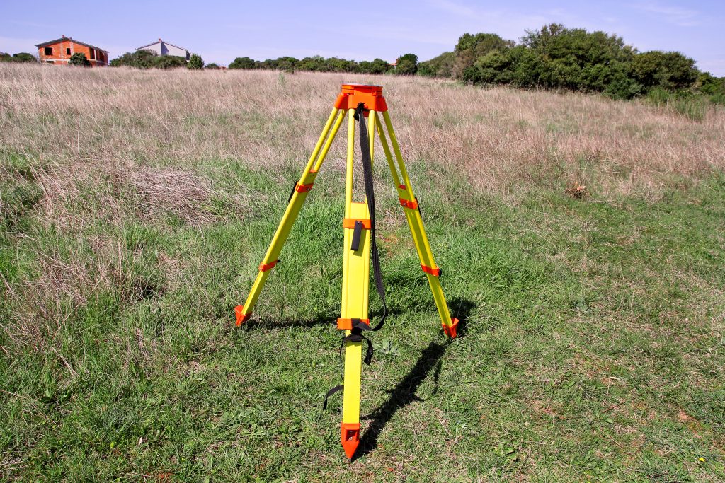
Electronic Distance Measurement
Electronic Distance Measurement (EDM) devices were the next leap forward, using light waves and later radio waves to measure distances. This tech was like a superhero’s laser vision, cutting through the air to report back precise measurements. It was faster, more reliable, and less labor-intensive than traditional tape measures or chains.
Get accurate measurements quickly with this CRAFTSMAN 25-ft tape measure. It features easy-to-read fraction markings and a comfortable, secure grip.

EDM transformed the surveying landscape in the 1950s and ’60s. Surveyors could now cover ground without physically traversing every inch. Imagine measuring the length of a football field by just pressing a button—that’s the kind of convenience EDM brought to the table.
These devices also minimized human error and increased safety, especially in challenging environments. Surveyors no longer needed to scale cliffs or wade through swamps to get their measurements. It was a win-win for accuracy and well-being.
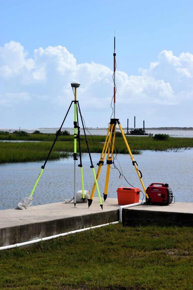
GPS: A Game-Changing Technology
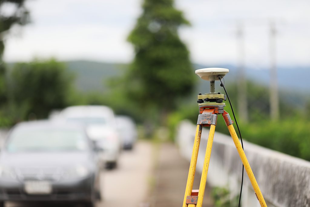
The introduction of the Global Positioning System (GPS) was nothing short of revolutionary. With a constellation of satellites orbiting Earth, GPS gave surveyors pinpoint accuracy anywhere on the planet. It was like having a celestial cheat sheet, always knowing your exact location.
GPS technology has become so ubiquitous that it’s easy to forget its profound impact on surveying. Gone were the days of painstaking triangulation and landmark-based navigation. Now, a surveyor could stand in a field and, within seconds, lock onto a global network of precise positioning data.
This advancement wasn’t just a step forward; it was a quantum leap. It allowed for real-time data collection and transformed industries beyond surveying, from agriculture to transportation. It’s the kind of tool that once you’ve used it, you can’t imagine how you ever managed without it.
Modern Photogrammetry
Modern photogrammetry has taken the principles of its 19th-century ancestors and turbocharged them with digital technology. High-resolution cameras and sophisticated software can stitch together aerial images to create 3D models of the landscape. It’s like having a digital twin of the Earth, accessible from your computer.
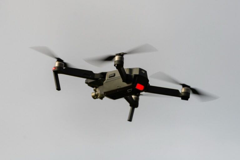
Drones have entered the scene as well, serving as agile platforms for capturing data from above. They can swoop into areas that are hard to reach or dangerous, providing a level of detail that was once unattainable. It’s a bit like having a pet falcon that can survey land on command.
The precision and efficiency of modern photogrammetry are astounding. It has applications in urban planning, conservation, and disaster management, offering a powerful tool for understanding and managing our environment. It’s a testament to how far we’ve come from those early days of rope and knots.
Future Trends in Surveying
The future of surveying is as boundless as the landscapes it seeks to measure. We’re on the cusp of a new era where augmented reality (AR) could overlay survey data onto the physical world in real time. Imagine walking through a construction site and seeing the blueprint come to life before your eyes—that’s the potential of AR in surveying.
Autonomous vehicles, both on land and in the air, are poised to further transform the field. They could carry out surveys with little human intervention, tirelessly collecting data around the clock. It’s like having an army of robot assistants at your beck and call.
The integration of artificial intelligence (AI) will also play a significant role, analyzing vast amounts of survey data to identify patterns and insights that might escape the human eye. As surveyors, we’re not just mapmakers; we’re becoming data scientists, unlocking the stories told by the terrain.
As we look back at these milestones, it’s clear that surveying has always been a blend of ingenuity and necessity. The journey from chains to satellites is a testament to human curiosity and our relentless drive to measure, map, and understand our world. With each technological stride, surveyors continue to redraw the boundaries of possibility, one survey at a time.