Key Differences: Topographical Maps vs. Photos
Navigating the world around us requires more than just a good sense of direction; it often involves choosing the right tools to guide us. Understanding the distinction between topographical maps and aerial photos is like recognizing the difference between a recipe and a picture of a meal – both valuable, but serving very different purposes.
Explore the Northeast with this detailed National Geographic Adventure Map. Featuring key points of interest, this map is perfect for planning outdoor adventures.

When you’re planning a hike or a city development project, you’ve gotta decide whether a topographical map or an aerial photo suits your needs better. It’s kinda like choosing between a 3D model of a building or a snapshot from a drone. Each has its strengths and quirks, and savvy navigators know that picking the right one can make all the difference. Maps are like the storytellers of geography, weaving tales of elevation and terrain, while photos capture a moment in time, a frozen glimpse of the world from above.
Disclosure: As an Amazon Associate, this site earns from qualifying purchases. Thank you!
Defining Topographical Maps
Explore the Northeast with this detailed National Geographic Adventure Map. Featuring key points of interest, this map is perfect for planning outdoor adventures.
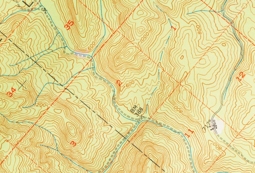
Topographical maps are the Swiss Army knives of the cartographic world. They’re chock-full of info, showing you the lay of the land with contour lines that look like they’re having a party on the paper (these lines represent elevation changes). They’re the go-to when you need to know more than just where things are – they tell you about the shape of the ground, and the steepness of slopes, and can even hint at the type of vegetation. It’s like having X-ray vision for hills and valleys!
P.S. check out Udemy’s GIS, Mapping & Remote Sensing courses on sale here…
Understanding Aerial Photos
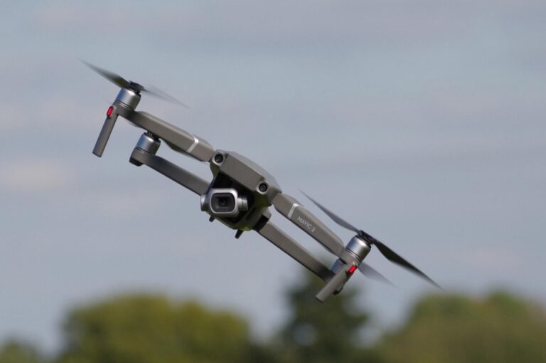
Aerial photos are the candid snapshots of geography. They show you the world as it is – or at least, as it was when the camera clicked. You get the raw, unfiltered view: trees, buildings, rivers, all laid out without any fancy symbols or lines. It’s like looking out of an airplane window (if you’re lucky enough to snag a window seat). But remember, while they’re super for getting a ‘real world’ view, they don’t give you the lowdown on elevations or what those features mean in terms of traversability.
Scale: Detail and Distance
Ever tried to measure the distance between two points on a photo? Good luck with that. Photos are tricky because they lack a consistent scale – things closer to the camera look bigger. Topographical maps, on the other hand, are all about scale. They keep it real, ensuring that one inch on the map equals a specific number of feet or miles in the real world. It’s like having a reliable ruler for the landscape, which is pretty handy when you’re plotting a trek or building a road.
Dimensionality Differences
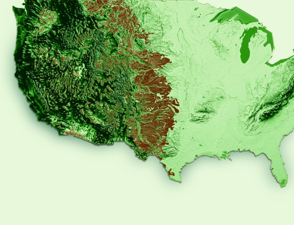
It’s a 2D world in photos, folks. Sure, you can see the texture and shadows, but it’s no match for the 3D-esque experience that topographical maps provide with their contours and elevation points. These maps give you a sense of the terrain’s ups and downs, almost like you’re feeling the ground beneath your feet. It’s the difference between hearing about a roller coaster and riding one.
Symbolism in Topography
Topographical maps are like secret codes waiting to be deciphered. They use symbols to represent different features – a blue squiggle for streams, green blobs for forests, and so on. It’s like reading a book where each character has a unique personality. Photos, though? They’re straightforward, no symbols are needed. What you see is what you get, but you better be good at recognizing features without any hints!
Clarity in Various Weathers
Let’s talk about the weather – it’s the ultimate photobomber. Clouds and fog can turn a perfectly good aerial photo into an abstract painting. But topographical maps? They’re like the postal service – neither rain nor snow can stop them from showing you the way. They provide clear information regardless of the weather, which can be a real lifesaver when you’re out and about.
Time Representation Variances
Aerial photos are like time capsules; they capture a single moment, frozen in time. That new building that popped up last month? Probably not in the picture. Topographical maps, however, are updated more frequently, and they focus on timeless features – like that mountain that’s been around for millennia. They’re the historians of cartography, always keeping an eye on the long term.
Usage in Navigation and Planning
When you’re navigating tricky terrain, a topographical map is your best friend. It’s like having a guide who knows every nook and cranny of the landscape. For urban planners and architects, though, an aerial photo’s bird’s-eye view is invaluable. It’s like being a giant peering down at a model town, giving you the big picture for better decision-making.
Choosing the Right Tool
So, what’ll it be – a topographical map or an aerial photo? It’s like choosing between hiking boots and dress shoes; it all depends on the occasion. For detailed planning and navigation, maps are your go-to. For a snapshot of the current state of things, photos are amazing. Just remember, the best explorers know when to use both to their advantage.
Whether you’re a weekend warrior hiking up a mountain trail or a city planner laying out the next big development, understanding the strengths of topographical maps and aerial photos can be a game-changer. Choose wisely, and you’ll have the world at your fingertips – or at least, a very detailed representation of it.