6 Ideas for Visualizing Intangible Cultural Heritage Through Maps
Cultural heritage isn’t just about monuments and museums — it’s the living traditions, stories, and practices that define communities around the world. You can’t touch folklore, traditional music, or ancestral cooking techniques, but these intangible treasures deserve visibility just as much as physical landmarks.
Maps offer a powerful way to showcase these invisible cultural assets, transforming abstract traditions into visual narratives that anyone can explore and understand. Whether you’re a cultural preservationist, educator, or simply curious about the world’s hidden heritage, mapping these intangible elements creates new opportunities for discovery and connection.
The challenge lies in making the invisible visible — turning centuries-old oral traditions, seasonal festivals, and community rituals into compelling visual experiences that honor their cultural significance while making them accessible to broader audiences.
Disclosure: As an Amazon Associate, this site earns from qualifying purchases. Thank you!
P.S. check out Udemy’s GIS, Mapping & Remote Sensing courses on sale here…
Interactive Story Maps for Traditional Folklore and Legends
Understand the structure of a one-hour TV drama pilot. This book provides a guide to story mapping for television.

Story maps transform abstract cultural narratives into compelling visual experiences that preserve and share community wisdom across generations.
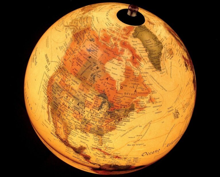
Mapping Oral Traditions Across Geographic Regions
Plot migration patterns of folktales using ArcGIS StoryMaps to trace how stories like Cinderella variants spread across continents. Connect narrative elements to specific geographic features where legends originated, such as mountains in Celtic dragon tales or rivers in Native American creation stories. Use color-coded overlays to show how oral traditions evolved as they crossed cultural boundaries, creating interactive timelines that reveal storytelling connections between distant communities.
Creating Digital Narratives with Multimedia Elements
Embed audio recordings of native speakers telling traditional stories directly into map points using platforms like MapBox or ESRI. Layer historical photographs, traditional artwork, and video performances over geographic locations to create immersive experiences. Integrate 360-degree virtual reality elements that transport viewers to sacred storytelling sites, allowing users to experience the cultural context where these legends naturally unfold while preserving authentic voices and languages.
Connecting Stories to Specific Cultural Landscapes
Anchor folklore to exact geographic coordinates where communities originally shared these narratives, using GPS data from cultural sites and ceremonial grounds. Map seasonal storytelling patterns that align with agricultural cycles, migration routes, or astronomical events significant to each culture. Create layered visualizations showing how landscape features like sacred mountains, ancient trees, or water sources directly influenced story elements, demonstrating the inseparable connection between place and narrative tradition.
Living Heritage Journey Maps for Cultural Practices
Cultural practices flow through communities like rivers, carrying traditions across generations and geographic boundaries. Journey maps transform these dynamic cultural expressions into visual pathways that reveal the interconnected nature of living heritage.
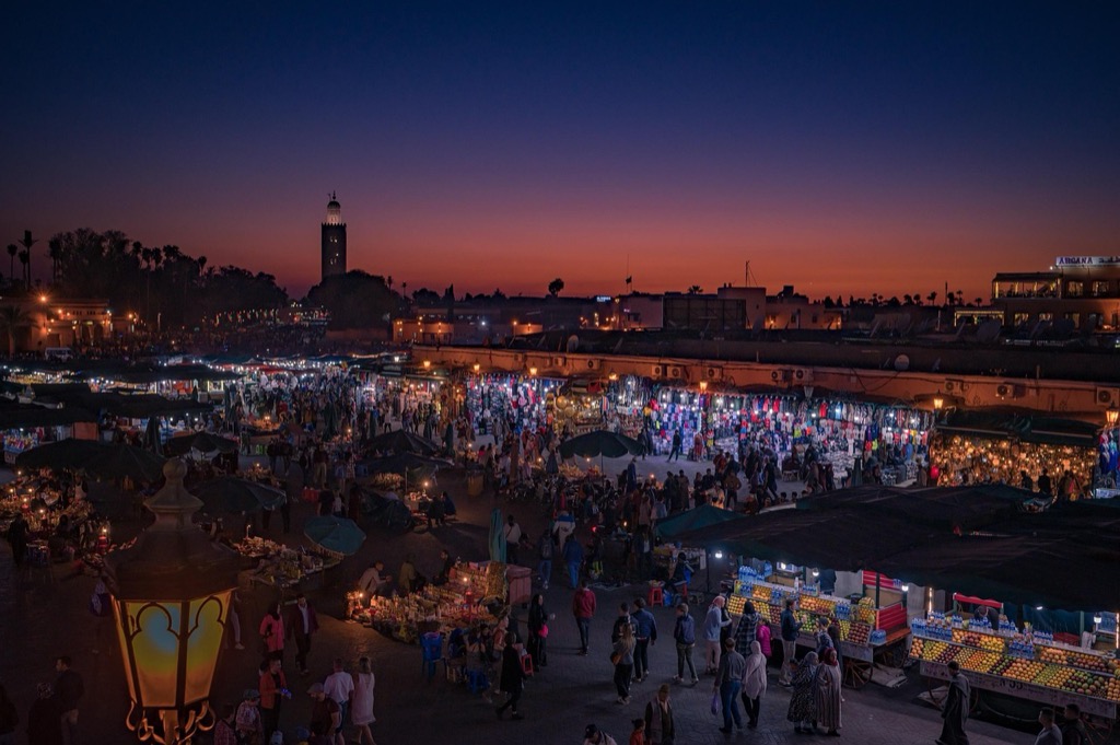
Documenting Seasonal Festivals and Celebrations
Seasonal festival maps showcase the cyclical nature of cultural celebrations throughout the year. You’ll capture how harvest festivals move across agricultural regions following crop cycles, or how religious observances adapt to local climate patterns. These temporal visualizations reveal the deep connections between cultural practices and environmental rhythms. Create layers that display festival dates, traditional foods, ceremonial locations, and participant migration patterns. Include multimedia elements like traditional music recordings and ceremonial photographs to preserve the sensory aspects of these celebrations.
Tracing Traditional Craft Routes and Artisan Communities
Craft route mapping follows the geographic distribution of traditional skills and materials across cultural landscapes. You’ll document how pottery techniques spread along river valleys or how textile patterns evolved through trade networks. These maps connect raw material sources to artisan workshops and market destinations. Track apprenticeship lineages, tool-making traditions, and seasonal production cycles. Include detailed profiles of master craftspeople, workshop locations, and the specific techniques that define regional variations. Document how modern transportation affects traditional supply chains and knowledge transfer.
Mapping Religious and Spiritual Practices
Religious practice maps reveal the sacred geography that shapes community spiritual life. You’ll document pilgrimage routes, seasonal ceremonial sites, and the movement of religious leaders between communities. These visualizations show how spiritual practices adapt to different landscapes while maintaining core traditions. Map sacred landmarks, ceremonial calendars, and the geographic extent of different religious influences. Include audio recordings of prayers, chants, and ceremonial music. Document how urbanization and modernization affect traditional spiritual practices and sacred site accessibility.
Audio-Visual Heritage Maps for Preserving Sounds and Languages
Audio-visual heritage maps transform invisible cultural sounds into geographic narratives, preserving linguistic diversity and musical traditions through precise location-based documentation.
Recording Endangered Languages by Location
Recording Endangered Languages by Location creates critical documentation that connects linguistic diversity to specific geographic coordinates. You’ll capture native speakers in their traditional territories, mapping pronunciation variations and dialectical shifts across village boundaries. GPS-enabled recording devices help you establish precise coordinates for each linguistic sample, while community partnerships ensure cultural protocols are respected. Digital archives then link audio files to interactive maps, creating searchable databases where researchers can explore language distribution patterns. This methodology preserves not just words but the geographic context that shapes how communities communicate.
Protect your privacy with this hidden device detector. It accurately finds hidden cameras, GPS trackers, and listening devices using RF, infrared, and magnetic field detection, and offers 25 hours of use on a single charge.

Mapping Traditional Music and Performance Spaces
Mapping Traditional Music and Performance Spaces reveals the geographic foundations of cultural expression across communities. You’ll document concert halls, ceremonial grounds, and informal gathering places where musical traditions flourish, creating comprehensive databases of performance venues. Field recordings capture acoustic properties unique to each location, from canyon echoes to temple resonance patterns. Interactive maps showcase instrument-making regions alongside performance territories, illustrating how geography influences musical development. Community input helps identify sacred spaces requiring sensitive documentation approaches, ensuring your mapping efforts honor cultural boundaries while preserving musical heritage.
Achieve a flawless, even complexion with e.l.f. Flawless Satin Foundation. This lightweight, vegan formula provides medium coverage and a semi-matte finish for all-day wear, while hydrating your skin with glycerin.

Creating Soundscapes of Cultural Events
Creating Soundscapes of Cultural Events captures the audio signature of celebrations, ceremonies, and gatherings tied to specific locations. You’ll use multi-directional recording equipment to document festival atmospheres, market sounds, and ritual chants that define community spaces. Temporal mapping shows how soundscapes change throughout daily cycles and seasonal celebrations, creating layered audio experiences. Geographic coordinates anchor each recording to its cultural context, while metadata tags help researchers explore connections between sound patterns and environmental factors. These immersive sound maps preserve not just individual voices but the collective audio identity of cultural landscapes.
Record and produce music at home with the PreSonus AudioBox 96 Studio Bundle. It includes the AudioBox USB 96 interface, M7 microphone, HD7 headphones, and Studio One Artist software for a complete recording solution.

Timeline Maps for Tracking Heritage Evolution
Timeline maps reveal how cultural heritage transforms across decades and centuries through geographic visualization. These temporal mapping tools show when and where cultural practices changed, helping preserve historical context alongside modern documentation.
Visualizing Historical Changes in Cultural Practices
Historical timeline maps document how traditional practices evolved within specific geographic regions over time. You can layer archival photographs, newspaper clippings, and ethnographic records onto geographic coordinates to show practice variations across different decades. Interactive sliders allow viewers to move through time periods and observe how festivals, cooking methods, or craft techniques adapted to social changes. This approach transforms static historical data into dynamic geographic narratives that reveal cultural resilience patterns.
Showing Migration Patterns of Cultural Traditions
Migration timeline maps trace how cultural traditions moved across continents through human movement and cultural exchange. You can plot the geographic spread of specific practices like textile patterns, musical instruments, or ceremonial rituals using dated occurrence data from multiple regions. Color-coded pathways show transmission routes while popup markers provide context about local adaptations and influences. These visualizations reveal how cultural practices traveled along trade routes, immigration paths, and colonial networks.
Documenting Adaptation and Preservation Efforts
Preservation timeline maps showcase how communities actively maintain and revitalize cultural heritage across different time periods. You can map the locations of cultural centers, language schools, and heritage organizations alongside their founding dates to show preservation momentum. Documentation includes grant funding periods, community initiative launches, and policy changes that supported heritage maintenance. These maps demonstrate how preservation efforts cluster geographically and respond to external pressures like urbanization or globalization.
Community-Generated Heritage Maps
Community-generated heritage maps harness the collective wisdom of local residents to document cultural traditions that might otherwise remain invisible to outside researchers.
Crowdsourcing Local Knowledge and Memories
Crowdsourcing platforms enable communities to share personal stories and cultural memories tied to specific geographic locations. You’ll gather authentic narratives through mobile apps that allow residents to upload photos, audio recordings, and written accounts directly to map coordinates. Memory mapping initiatives collect childhood recollections of demolished buildings, former gathering spaces, and traditional practices that occurred at specific addresses. These platforms capture intergenerational knowledge as elderly community members share their experiences with younger volunteers who help document locations digitally.
Enabling Community Participation in Documentation
Participatory mapping workshops train local residents to use GPS devices and mapping software to document their own cultural heritage sites. You’ll provide communities with simple data collection tools that don’t require technical expertise, including smartphone apps with pre-designed forms for recording cultural information. Community mapping events bring neighbors together to collectively identify significant cultural locations, from traditional food vendors to informal performance spaces. These collaborative sessions ensure that multiple perspectives contribute to the heritage documentation while building local capacity for ongoing cultural preservation efforts.
Stay connected anywhere with this compact satellite communicator. Enjoy two-way messaging, interactive SOS, and TracBack routing for confident navigation. Battery lasts up to 14 days in tracking mode.

Building Collaborative Cultural Archives
Digital storytelling platforms connect individual submissions into comprehensive cultural archives that showcase community heritage patterns across neighborhoods. You’ll create searchable databases where residents can explore connections between their personal memories and broader cultural movements within their geographic area. Version control systems allow communities to continuously update and expand their heritage maps as new information emerges or cultural practices evolve. These collaborative archives become living documents that reflect the dynamic nature of cultural heritage while maintaining historical accuracy through community verification processes.
Virtual Reality Heritage Experiences
Virtual reality transforms intangible heritage mapping into fully immersive environments where users experience cultural traditions firsthand. These digital spaces bridge geographic distances and temporal gaps to make cultural heritage accessible worldwide.
Creating Immersive Cultural Environments
You’ll create comprehensive virtual spaces that recreate traditional settings through 360-degree photography and 3D modeling. Modern VR platforms like Unity and Unreal Engine support cultural environment development with realistic lighting, ambient sounds, and authentic textures. You can capture seasonal variations and daily rhythms of cultural spaces using photogrammetry techniques, ensuring virtual environments reflect the dynamic nature of living heritage sites.
Reconstructing Historical Cultural Spaces
You can digitally rebuild vanished cultural venues using archival photographs, archaeological data, and community memories. Historical reconstruction projects like virtual ancient theaters and traditional marketplaces rely on GIS coordinates and archaeological surveys for accuracy. Collaborative workflows with historians and cultural experts ensure reconstructed spaces maintain authenticity while incorporating multiple data sources including oral histories, architectural drawings, and artifact collections.
Offering Interactive Learning Experiences
You’ll design hands-on VR activities that teach traditional skills through guided practice sessions and cultural demonstrations. Interactive heritage experiences include virtual pottery making, traditional cooking techniques, and ceremonial participation that respond to user movements and choices. Educational VR platforms support multilingual narration, gesture recognition, and haptic feedback to create engaging learning environments that adapt to different cultural backgrounds and learning preferences.
Conclusion
These six mapping approaches transform invisible cultural heritage into powerful visual narratives that preserve and celebrate community traditions. By combining traditional storytelling with modern technology you’re creating lasting digital archives that connect generations and bridge geographic boundaries.
The key to successful heritage mapping lies in community collaboration and cultural sensitivity. When you involve local residents as active participants rather than passive subjects you ensure authenticity while building sustainable preservation networks.
Digital mapping tools democratize cultural preservation by making documentation accessible to communities worldwide. You no longer need expensive equipment or specialized training to begin capturing and sharing your cultural heritage through interactive maps.
Start with one mapping technique that resonates with your community’s unique traditions. Whether you choose audio documentation or VR experiences the most important step is beginning the conversation about what cultural treasures deserve preservation and celebration.
Frequently Asked Questions
What is intangible cultural heritage and why is it important?
Intangible cultural heritage includes non-physical cultural elements like folklore, traditional music, cooking techniques, and oral traditions. Unlike monuments or buildings, these invisible cultural assets represent the living wisdom of communities passed down through generations. They’re crucial because they preserve cultural identity, community knowledge, and traditional practices that might otherwise be lost without proper documentation and sharing.
How can maps help preserve invisible cultural traditions?
Maps transform abstract cultural narratives into visual experiences by connecting stories, traditions, and practices to specific geographic locations. Interactive story maps use multimedia elements like audio recordings, photographs, and virtual reality to create immersive experiences. By anchoring folklore and traditions to geographic coordinates, maps demonstrate the deep connection between place and cultural practices while making them accessible to wider audiences.
What are Living Heritage Journey Maps?
Living Heritage Journey Maps visualize how cultural practices flow across generations and geographic boundaries. They document seasonal festivals tied to environmental rhythms, map traditional craft routes and artisan communities, and trace religious practices across different landscapes. These maps show how cultural traditions adapt to new locations while maintaining their core elements and community significance.
How do audio-visual heritage maps preserve cultural sounds?
Audio-visual heritage maps use GPS-enabled recording devices to capture endangered languages, traditional music, and cultural soundscapes tied to specific locations. They document native speakers in their traditional territories, map performance spaces like ceremonial grounds, and record the audio signatures of celebrations. This creates searchable digital archives that preserve linguistic diversity and musical traditions through precise location-based documentation.
What are timeline maps in cultural heritage documentation?
Timeline maps reveal how cultural heritage transforms over time by layering historical information onto geographic coordinates. They document the evolution of traditional practices within regions, trace migration patterns of cultural traditions across continents, and highlight preservation efforts by communities. These tools show variations in practices over decades and centuries while mapping cultural centers and revitalization initiatives.
How do community-generated heritage maps work?
Community-generated heritage maps use crowdsourcing platforms and mobile apps to collect authentic cultural narratives from local residents. Participatory mapping workshops train community members to use GPS devices and mapping software to document their own heritage sites. These collaborative efforts create living archives that are continuously updated by community members, ensuring historical accuracy while capturing dynamic cultural heritage.
What role does virtual reality play in heritage mapping?
Virtual reality transforms intangible heritage mapping into immersive experiences using 360-degree photography and 3D modeling. VR reconstructs historical cultural venues through archival data and community memories, creating comprehensive virtual environments. It also designs interactive learning experiences that teach traditional skills, making cultural education accessible and engaging while preserving authentic cultural contexts for future generations.