6 Ways to Open GIS Files in Illustrator Easily
Navigating the world of Geographic Information Systems (GIS) files in Adobe Illustrator can be like trying to find your way through a dense forest without a compass. But fear not, intrepid explorer, as this guide will shine a light on the path to using Illustrator to open and manipulate GIS data with ease.
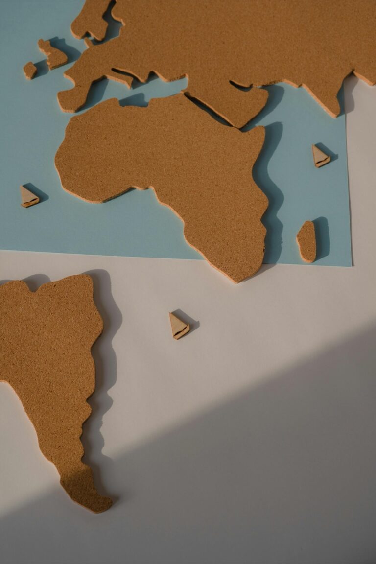
GIS files, akin to the DNA of our physical world, hold layers of spatial information, from city streets to topographical features, available in formats like shapefiles and geodatabases. Crucial for urban planning and environmental analysis, these files facilitate geographic data visualization when opened in graphic design programs like Illustrator.
Before showcasing cartographic skills, preparing GIS data involves refining and exporting it using GIS software, simplifying layers, removing unnecessary attributes, and potentially projecting it to the right coordinate system—a necessary step akin to decluttering your workspace before creating a masterpiece.
Disclosure: As an Amazon Associate, this site earns from qualifying purchases. Thank you!
P.S. check out Udemy’s GIS, Mapping & Remote Sensing courses on sale here…
1. Using Adobe Illustrator
Adobe Illustrator is the Swiss Army knife of graphic design, adept at handling vector graphics with precision and style. While it’s not specifically designed for GIS data, its powerful tools can be harnessed to create detailed and attractive maps. The key is to get your GIS data into a format that plays nicely with Illustrator’s capabilities—then the sky’s (or should I say, the earth’s) limit.
2. Avenza MAPublisher
Avenza MAPublisher is like a bridge connecting the world of GIS data and Illustrator. It’s a plugin that allows you to import and work with GIS data directly in Illustrator, maintaining georeferencing and attribute information. It’s a game-changer for cartographers, making the process seamless and intuitive. (And trust me, once you’ve tried it, there’s no going back.)
3. Import via SVG
If you’ve got a tight budget, converting GIS data to SVG format can be a nifty workaround. Most GIS software can export data as SVG, which Illustrator can open without breaking a sweat. You’ll lose some geospatial functionality, but for simple maps, this method is a quick and easy solution that won’t cost you a dime.
4. DXF Conversion
When it comes to compatibility, the DXF file format is a solid middle-ground. Many GIS applications can export to DXF, which Illustrator can open with relative ease. While some data cleanup may be necessary, this method often retains more geographic information than an SVG conversion, making it a good balance between functionality and accessibility.
5. PDF Import Option
Sometimes, the simplest solutions are right under our noses. Exporting your GIS data to a geospatial PDF preserves layers and attributes, and Illustrator can import PDFs like it’s nobody’s business. While you might need to do some manual tweaking, this method is a straightforward way to bring GIS data into your design workflow.
6. Scripting in Illustrator
For the tech-savvy cartographers out there, scripting in Illustrator can automate the tedious parts of working with GIS data. With some JavaScript knowledge, you can write scripts that import and style GIS data according to your exact specifications. It’s like teaching Illustrator to speak the language of GIS, which is pretty cool if you ask me.
Troubleshooting Common Issues
Even seasoned cartographers can hit a snag when importing GIS data into Illustrator. Maybe the file won’t open, or the layers are all jumbled—it’s enough to make you want to pull your hair out. But don’t despair! Double-check file formats, ensure your software is up to date, and remember that the internet is a treasure trove of forums and tutorials where others have likely faced (and solved) similar challenges.
Optimizing Your Workflow
Once you’ve mastered opening GIS files in Illustrator, the next step is to streamline your process. Create templates, use layer styles, and familiarize yourself with Illustrator’s shortcuts. The goal here is to make your workflow as efficient as possible, so you can spend less time fiddling with files and more time creating map magic.
With these tips and tricks under your belt, you’re well on your way to becoming a GIS Illustrator wizard. Remember, patience and practice are your allies on this journey, and the results—stunning maps that tell compelling stories—are well worth the effort. Now go forth and chart new territories in the realm of digital cartography!