7 Key Symbols Cartographers Use on Maps Explained
Ever unfolded a map and felt like you were trying to decipher an ancient script? Fear not! We’re about to crack the code of cartography and make sense of those perplexing symbols.
Cartography is an art and science, a bridge between the physical world and our understanding of its vast complexities. It’s all about crafting a miniature representation of our surroundings, and that’s no small feat (pun intended). Just think about it: squeezing entire landscapes into a piece of paper or a screen, ensuring every hill and building is accounted for. It’s truly a marvel of human ingenuity—turning the chaos of the world into organized, navigable information.
Map symbols are the alphabet of the cartographic world. They’re the little clues that whisper (or sometimes shout) the secrets of the landscape. Without them, a map would be like a book with blank pages—pretty but not particularly useful. These symbols are a universal language, allowing anyone, from seasoned explorers to lost tourists, to interpret the terrain at a glance. Now, let’s get down to the nitty-gritty and explore the key symbols that make maps readable.
Disclosure: As an Amazon Associate, this site earns from qualifying purchases. Thank you!
P.S. check out Udemy’s GIS, Mapping & Remote Sensing courses on sale here…
1. Legend: Decoding the Map
Ah, the legend, or the map’s Rosetta Stone. It’s the cheat sheet that lays bare the meaning behind all those cryptic lines, shapes, and colors. Without it, you might as well be reading a map upside down—actually, even that wouldn’t help. The legend is your best friend when you’re trying to figure out whether that blue squiggle is a river or just someone’s spilled ink. Remember that time you mistook a boundary line for a road? Yeah, the legend doesn’t let that sort of thing happen.
2. Scale: Measuring Distances
The scale of a map is like a mini teleportation device—it shrinks real-life distances into manageable units. With a glance, you can gauge how far it is from Point A to B without breaking a sweat. It’s the difference between a stroll and a “Why did I think this was a good idea?” marathon. And let’s not forget, a scale can be a lifesaver when you’re trying to convince your friends that yes, the beach is within walking distance (or not).
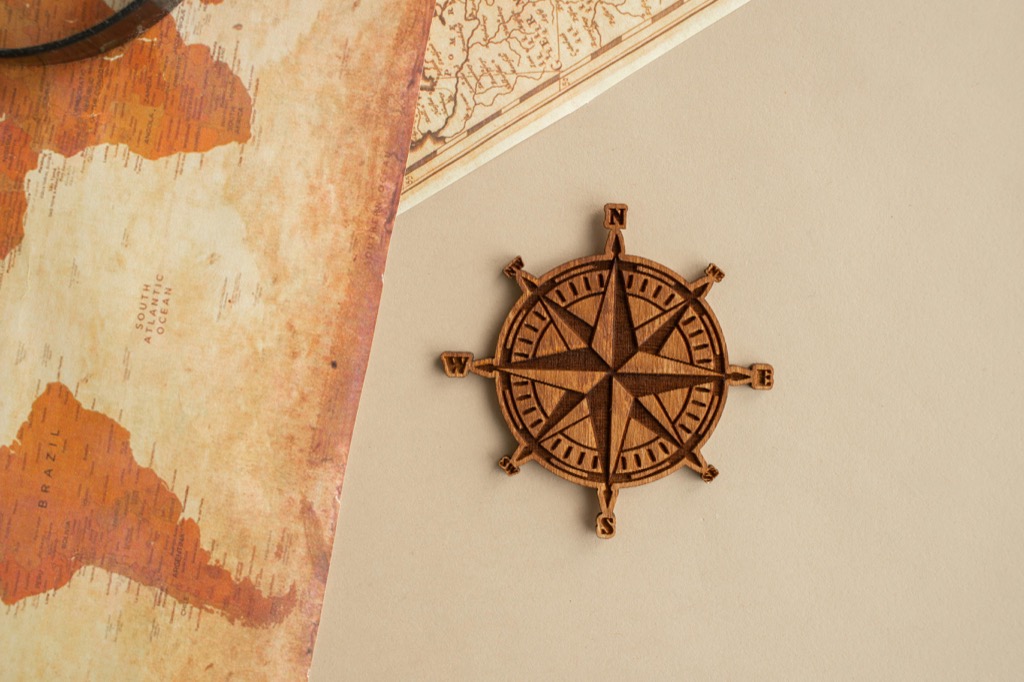
3. Compass Rose: Finding Direction
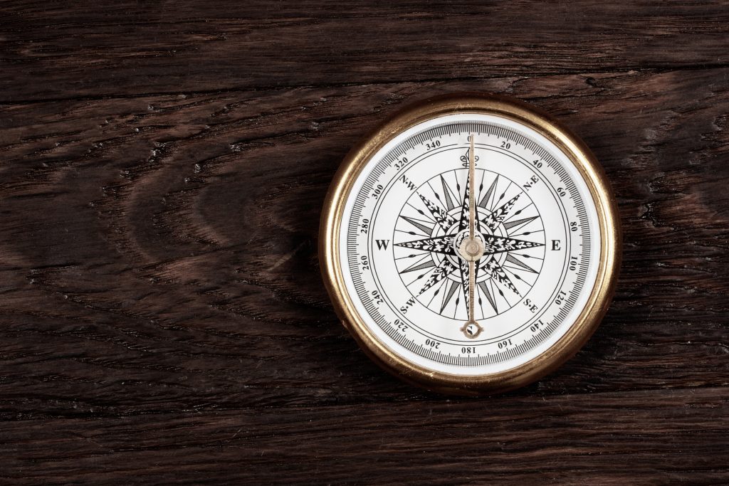
The compass rose is that star-like symbol that points you in the right direction—literally. It’s the old-school GPS that doesn’t talk back or lose signal. Whether you’re navigating through an urban jungle or trekking in the backwoods, the compass rose keeps you from walking in circles (unless that’s your thing). It’s like a trusty sidekick, always there to tell you where north is and, by extension, where everything else is too.
4. Contour Lines: Gauging Terrain
Contour lines are the cartographer’s way of showing you the lay of the land without making you break a sweat. These lines connect points of equal elevation, creating a topographical puzzle. When they’re close together, you know you’re in for a climb; when they’re far apart, it’s smooth sailing. They’re like the lines on your palm—if you could read them, they’d tell you stories of steep mountains and gentle valleys.
5. Color Coding: Visual Clarity
Colors on a map aren’t just there to make it pretty—they’re a critical part of the cartographic lexicon. Green usually means forests, blue indicates water, and brown, well, that’s typically for those contour lines we just talked about. It’s like a traffic light system for your eyes, guiding you through different terrain types with ease. Without color coding, maps would be as confusing as a chameleon in a bag of Skittles.
6. Icons: Identifying Landmarks
Icons on maps are like the emojis of cartography—they convey a lot of info without saying a word. A tiny tent tells you there’s a campground, while a fork and knife mean you won’t go hungry. These little symbols can be lifesavers or at least trip-savers. They’re the breadcrumbs that help you find your way to the castle (or the nearest restroom).
7. Grids: Navigating Coordinates
Grids slice the map into a tidy checkerboard, making it a cinch to pinpoint your exact location. They’re like the address system for the great outdoors, ensuring that the “middle of nowhere” is somewhere. Whether you’re using latitude and longitude or a more local grid system, these lines are your ticket to saying, “I am here,” with confidence (and a bit of flair).
Mastering map symbols can turn a bewildering array of lines and colors into a clear path to adventure. So next time you unfold a map, remember: it’s not just paper—it’s a treasure trove of hidden meanings waiting for you to discover. Happy mapping!