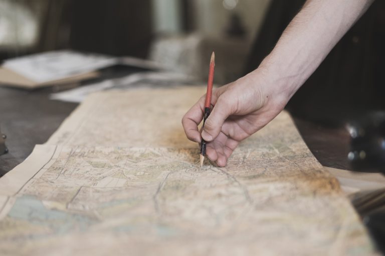
Imagine a world where every decision is informed by a mosaic of data, beautifully arranged to tell a compelling story about our planet. That’s the power of Geographic Information Systems (GIS), a game-changer in the way we understand and shape our world.
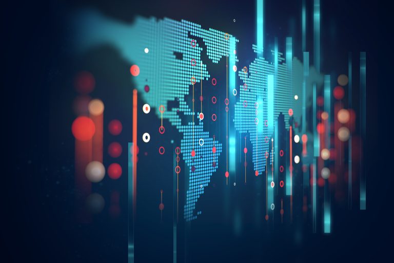
GIS isn’t just a fancy map; it’s a high-tech storyteller, weaving layers of information to give us a comprehensive view of our world. At its core, GIS is a computer system that captures, stores, checks, and displays data related to positions on Earth’s surface. It helps us visualize, question, analyze, and interpret data to understand relationships, patterns, and trends. (Think of it as the Swiss Army knife of mapping—versatile and indispensable.)
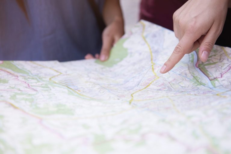
The power of GIS technology is its ability to bring disparate data together in a cohesive, visual format. Planners, analysts, and policymakers can now see the big picture, or zoom in on specifics, making informed decisions that impact our daily lives. Whether it’s routing emergency services or planning a new park, GIS provides the roadmap for smarter decision-making.
GIS is like the backstage crew of a theater production. It works quietly behind the scenes, but the show couldn’t go on without it. It’s a tool that has revolutionized countless aspects of our society, often in ways that go unnoticed by the average person. But once you know about it, you start to see its fingerprints everywhere.
Hey hey! Don’t forget to subscribe to get our best content 🙂
1. Improved Disaster Response

When disaster strikes, time is of the essence, and GIS has been a game-changer in emergency management. By providing real-time data on the spread of wildfires or the path of a hurricane, GIS helps responders act quickly and efficiently. It’s like having a bird’s-eye view of the chaos but with a strategic game plan.
GIS technology has also played a pivotal role in disaster preparedness. Mapping out flood plains and earthquake zones guides the construction of safer buildings and the development of evacuation routes. It’s a bit like having a crystal ball, allowing us to prepare for the worst, even as we hope it never comes.
In the aftermath of a disaster, GIS aids in assessing the damage and coordinating reconstruction efforts. It’s not just about rebuilding; it’s about building back better. With GIS, communities can be more resilient, adapting to the lessons learned and preparing for a future that’s a bit less uncertain.
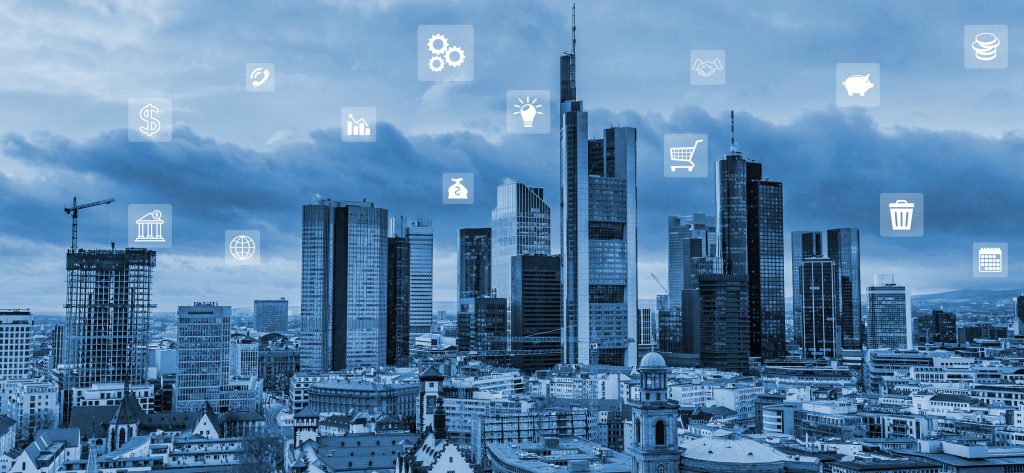
2. Enhanced Urban Planning
Urban planning is like a complicated puzzle, and GIS is the tool that helps planners see how all the pieces fit together. By analyzing spatial data, GIS assists in the design of more efficient public transport systems, the development of green spaces, and the optimization of land use. It’s about creating cities that aren’t just livable but lovable.
GIS data is crucial in managing urban growth and ensuring sustainable development. Planners can simulate the impact of new buildings, roads, and other infrastructure, helping to avoid potential problems before they occur. It’s like having a time machine that lets you peek into the future of a city.
Community engagement has also benefited from GIS. Interactive maps allow residents to visualize proposed changes and provide feedback. This level of transparency and participation leads to more inclusive urban development. After all, a city is only as good as the satisfaction of its residents.
3. Advancements in Agriculture

Farmers have found a new ally in GIS. Precision agriculture uses GIS data to manage fields down to the square inch. This means optimizing irrigation, fertilization, and harvesting for maximum yield and minimal waste. It’s like giving each plant its butler, attending to its every need.
GIS also helps monitor crop health from above, using satellite imagery to spot diseases or pests before they become a bigger problem. It’s a bit like having Superman’s X-ray vision but for farming. This kind of early detection can save entire harvests.
On a larger scale, GIS is used for managing agricultural resources and ensuring food security. By analyzing patterns and predicting trends, policymakers can make smarter decisions about where to invest in infrastructure or how to address potential shortages. It’s about feeding the future, one pixel at a time.
4. Efficient Transportation Systems
GIS has transformed the way we move. It powers the apps that find the fastest route through rush-hour traffic, avoiding road closures and accidents. For daily commuters, it’s like having a personal traffic helicopter.
Public transportation has also become smarter thanks to GIS. Transit authorities use it to design routes that better serve the community, anticipate maintenance needs, and manage fleets in real-time. It’s the conductor of the symphony that is urban transport, ensuring every bus and train hits the right note.
For logistics companies, GIS is essential for route optimization, reducing fuel consumption, and improving delivery times. It’s the unsung hero behind that package arriving on your doorstep right when you need it.
5. Effective Environmental Protection
GIS is a powerful tool for Mother Nature’s guardians. It helps track deforestation, monitor wildlife populations, and manage natural resources sustainably. It’s like giving conservationists a map of the hidden treasures of our planet that need protection.
GIS is also critical in the fight against climate change. By modeling sea-level rise or forecasting the spread of desertification, it provides the hard data needed to make tough policy decisions. It’s like having a weather prophet in the room, guiding us toward a greener future.
In local communities, GIS is used to identify pollution sources and plan for green infrastructure. It’s about making sure our kids have clean air to breathe and clean water to drink. It’s not just saving the environment; it’s saving tomorrow.
6. Better Public Health Tracking
Public health officials are like detectives, and GIS gives them the clues they need to solve the mystery of disease outbreaks. By mapping cases, they can identify patterns and hotspots, directing resources where they’re needed most. It’s like having a magnifying glass over the health landscape of a population.
GIS also plays a role in preventive health care. Analyzing environmental factors that contribute to health issues, such as poor air quality or lack of access to fresh food, can inform policies to improve overall well-being. It’s about nipping health problems in the bud before they bloom into crises.
During global health emergencies like the COVID-19 pandemic, GIS was instrumental in tracking the virus’s spread and planning vaccination campaigns. It’s the unsung hero that helps keep pandemics at bay, one data point at a time.
7. Innovations in Utilities Management
Managing utilities is a complex dance, and GIS leads the choreography. It maps out pipelines and powerlines, helping to prevent outages and quickly responding when they occur. It’s like having a GPS for every electron and water droplet.
GIS also aids in the transition to renewable energy. By analyzing wind patterns and sunlight exposure, it helps identify the best sites for wind farms and solar panels. It’s about powering the future with cleaner, smarter energy choices.
Furthermore, GIS is instrumental in water resource management. Tracking usage patterns and predicting demand ensures that there’s enough to go around, even as populations grow and climates change. It’s about making every drop count.
8. Strengthened National Security
National security is no game, but GIS gives it a winning edge. It’s used for everything from tracking terrorist activities to planning military operations. It’s like having a high-tech shield safeguarding citizens.
Border security also benefits from GIS technology. Monitoring remote areas and managing patrols make borders more secure and crossings more controlled. It’s about drawing a line in the sand, quite literally.
GIS even plays a role in cybersecurity. By visualizing the flow of information and potential vulnerabilities, it helps protect critical infrastructure from digital threats. It’s like having a digital watchdog that never sleeps.
Conclusion: GIS’s Societal Impact
GIS is the unsung hero of our modern world, quietly shaping the landscape of our daily lives. From the food we eat to the way we travel, it’s the invisible hand guiding us toward a smarter, safer, and more sustainable future. It’s not just about maps; it’s about mapping out a better world.
So the next time you open a map app to find the quickest route to your favorite coffee shop, remember that you’re tapping into a technology that’s revolutionizing society. GIS isn’t just changing the world; it’s helping us create a world worth living in for generations to come.