9 Keys to Understanding Geopolitical Maps
Geopolitical maps are more than just paper with lines and colors; they are the storytellers of power, resources, and history. Let’s dig into the keys that unlock the stories hidden within these cartographic treasures.
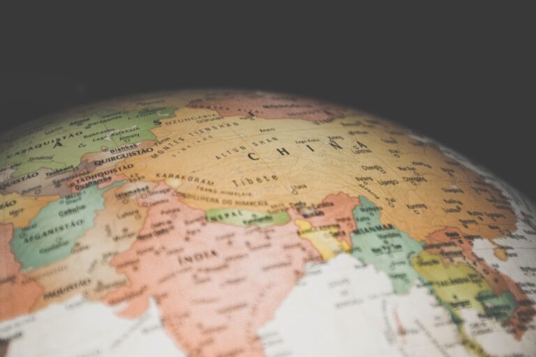
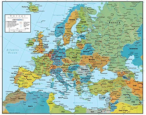
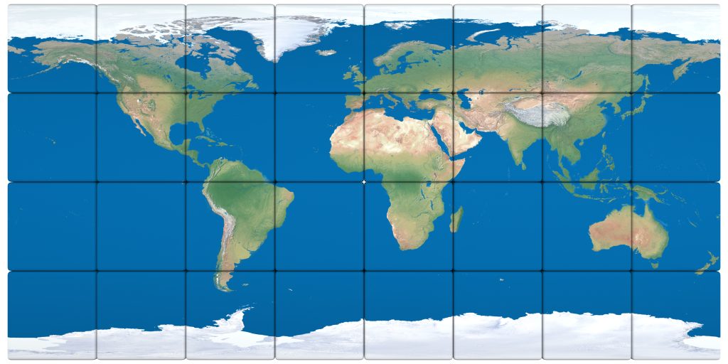
This laminated 18x22 Europe map combines political boundaries with 3D-shaded physical relief for comprehensive geographical information. Its durable construction and updated data make it ideal for educational, business, or decorative use.
Geopolitical maps are intricate puzzles representing nations’ ambitions, fears, and relationships, unlike physical maps focusing on natural landscapes. Acting as chessboards in international politics, these maps highlight man-made boundaries, territorial control, and diplomatic ties, shaping and reshaping the dynamic nature of global affairs.
Consider a geopolitical map as a historical snapshot, offering insights into past events and a tool for predicting future trends. Each line, symbol, and shade of color tells a story about the ever-evolving landscape of international relations.
Disclosure: As an Amazon Associate, this site earns from qualifying purchases. Thank you!
P.S. check out Udemy’s GIS, Mapping & Remote Sensing courses on sale here…
1. Key Elements to Recognize
 geopolitical maps with highlighted elements” class=”wp-image-378″/>
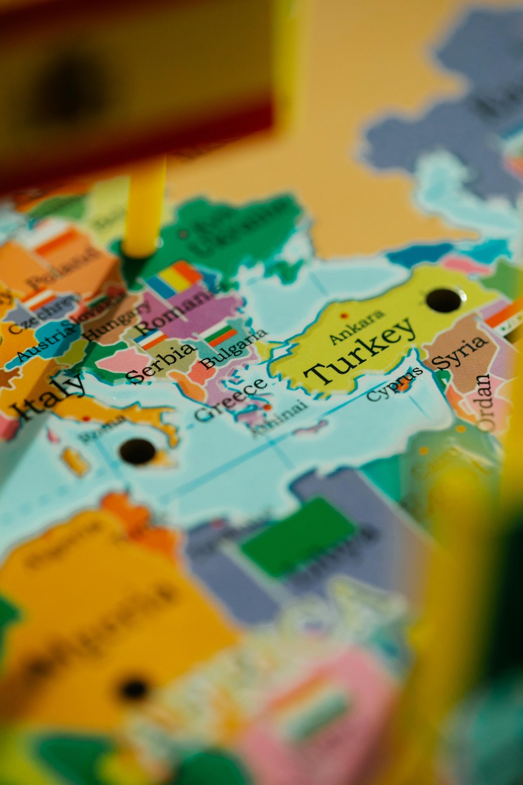
When you first lay eyes on a geopolitical map, it’s easy to get lost in the sea of information. The key elements to recognize our national boundaries are capital cities, major cities, and significant geographical features like rivers and mountain ranges that often serve as natural borders. These elements are the ‘characters’ in our geopolitical narrative.
Additionally, look for color coding, as it often indicates different political affiliations or alliances. For instance, members of the European Union might be shaded similarly to denote their economic and political bond. Recognizing these elements is like understanding the rules of grammar before reading a novel – it sets the stage for comprehension.
Lastly, pay attention to disputed areas, which are sometimes marked with dashed lines or distinct colors. These regions can be hotspots of conflict or negotiation and are crucial for understanding the geopolitical climate. Ignoring them would be like skipping chapters in a book – you’d miss crucial parts of the plot.
2. Reading Symbols and Codes
Deciphering the symbols and codes on a geopolitical map is akin to learning a new language. Each symbol – be it a star for a capital city or a crossed sword and shield for a military base – conveys specific information that’s crucial for understanding the geopolitical landscape. It’s essential to familiarize yourself with the legend, which acts as a decoder ring for these cryptic messages.
Symbols can also indicate economic activity like oil fields or trade routes, which are vital arteries in the body of global commerce. (Imagine trying to navigate a city without understanding the road signs – it’s a recipe for getting lost!)
Moreover, international organizations have their own sets of symbols. For example, a blue helmet might represent United Nations peacekeeping forces. Recognizing these visual codes is not just about the ‘what’ but also the ‘why’ behind the presence of certain entities on the map.
3. Understanding Borders
Borders on a geopolitical map are the lines that tell us where one country ends and another begins, but they’re so much more than that. They are statements of sovereignty and sometimes, silent witnesses to history’s disputes and resolutions. Borders can be straight, following lines of latitude or longitude, which often suggests they were drawn by external powers or through negotiation, rather than natural demarcation.
Understanding borders also requires recognizing that they are often contested. Disputed borders are not just lines on a map; they represent real-world tensions and can be flashpoints for conflict. Have you ever had a neighborly dispute over a fence? Now, imagine that on a national scale.)
Moreover, some borders are open, allowing free movement as seen in the Schengen Area in Europe, while others are heavily guarded. The nature of borders can tell us much about the relationships between neighboring countries – whether they’re friendly, indifferent, or downright frosty.
4. Analyzing Territory Claims
Territory claims are the cartographic equivalent of “calling dibs” but with a lot more at stake. These claims can range from a country’s assertion over a remote island chain to expansive claims over maritime boundaries rich in resources. Analyzing these claims requires a keen eye for detail and an understanding of international law, such as the United Nations Convention on the Law of the Sea.
Claims are often marked on maps with distinctive patterns or notes, indicating areas of overlap where multiple countries assert their rights. These overlapping claims can lead to diplomatic chess games, where countries maneuver for strategic advantage. (Imagine playing a game of Monopoly where everyone wants Park Place.)
Furthermore, analyzing territory claims also involves understanding the historical and cultural reasons behind them. This context can explain why certain areas are hotly contested and why some disputes seem intractable.
5. Interpreting Scale and Projection
Scale and projection are the tools that help us fit a round Earth on a flat map. The scale of a map tells us how much the real world has been shrunk down to fit on the page. A small-scale map shows a large area with less detail, while a large-scale map zooms in on a smaller area with greater detail. It’s like the difference between a panoramic photo and a close-up.
Projection, on the other hand, is about representing the curved surface of the Earth on a flat map. Different projections can distort shapes, areas, and distances, which is why Greenland often looks the size of Africa on common world maps, even though it’s nowhere near as large. (Imagine trying to wrap a basketball with a sheet of paper without wrinkling or tearing – that’s the challenge mapmakers face.)
When interpreting geopolitical maps, be aware that the choice of scale and projection can influence how we perceive the importance or size of a country or region. It’s not just a technicality; it’s a statement about the world.
6. Recognizing Geopolitical Influence
Geopolitical influence is the invisible force that shapes the visible lines on the map. It’s about understanding which countries are the power players and how their policies and relationships affect the global stage. A country with extensive geopolitical influence might have military bases abroad, a strong diplomatic presence, or be part of influential international organizations.
Recognizing influence on a geopolitical map may involve identifying economic corridors, such as trade routes or energy pipelines, that are critical for a country’s economy. These are the lifelines that sustain nations and can be used as leverage in international relations. (It’s like realizing who holds the most property in a game of Monopoly – they’re the ones to watch.)
Moreover, influence can be cultural, spreading through language, media, and education. A map dotted with cultural institutes or funded infrastructure projects can reveal a country’s soft power reach. Recognizing these subtler forms of influence requires reading between the lines – quite literally.
7. The Role of Natural Resources
Natural resources are the buried treasures on geopolitical maps, often indicated by symbols like oil derricks or mining icons. These resources can turn an otherwise unremarkable piece of land into a geopolitical hotbed, as countries vie for access and control. It’s the classic tale of ‘location, location, location’ – but with a strategic twist.
The presence of resources can influence international alliances and conflicts. Countries rich in resources might attract foreign investment and partnerships, while those lacking may seek to secure their needs through other means. (Think of it as a dinner party where everyone wants a piece of the pie – the bigger your slice, the more influence you wield.)
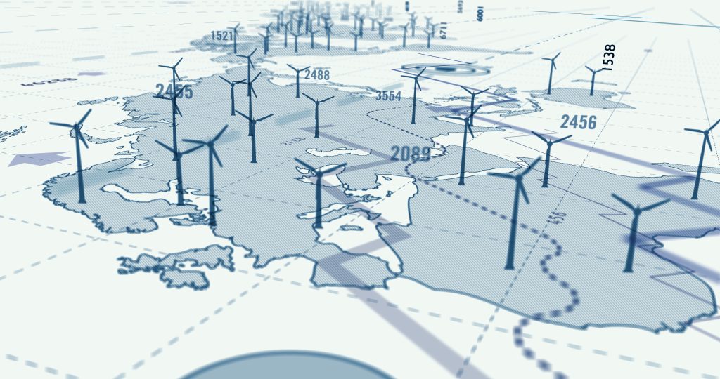
Furthermore, the role of renewable resources is becoming increasingly important on geopolitical maps. As the world shifts towards sustainable energy, areas with wind, solar, and hydro potential are gaining prominence. The maps are not just telling us where the resources are, but also where the future might be headed.
8. Historical Context of Boundaries
Boundaries on a geopolitical map are not just lines; they’re the endpoints of historical narratives. They can be the result of wars, treaties, or colonial legacies, and understanding their origins can provide insights into current geopolitical tensions. For instance, the straight lines in the Middle East often reflect colonial-era decisions rather than natural divisions.
Historical context also helps us understand the cultural and ethnic complexities within and across these boundaries. Nations are rarely homogenous, and borders often cut through ethnic or linguistic lines, leading to internal divisions and cross-border communities. (It’s like drawing a line through a family’s home and telling them they now live in two different houses.)
Recognizing the historical weight of boundaries can also shed light on why some borders are more porous or militarized than others. It’s a reminder that today’s geopolitical landscape is built upon layers of history, each layer influencing the present in subtle and profound ways.
9. Using Maps for Current Events
Geopolitical maps are invaluable for making sense of current events. They provide context for news stories, from territorial disputes to trade agreements. When a conflict or negotiation is reported, a glance at a map can illuminate the geographic stakes involved. It’s like having a cheat sheet for understanding complex international news.
Maps also help us track changes over time, which can be particularly useful in regions with fast-shifting political landscapes. By comparing maps from different periods, we can visualize the ebb and flow of geopolitical influence and territorial control. Have you ever watched a time-lapse video of a city being built? It’s that, but for international relations.)
Lastly, using maps to follow current events encourages a more informed and engaged global citizenship. It allows us to see beyond our immediate surroundings and consider the interconnectedness of our world. It’s not just about knowing what’s happening, but also about understanding where it’s happening and why that matters.
In the tapestry of global politics, geopolitical maps are both the canvas and the threads that weave the narrative of nations together. As we’ve explored, understanding these maps is key to grasping the complex and ever-changing nature of our world – so next time you see a map, take a moment to read its stories.
In the video, Tasty explains –
Geopolitics & Empire
- Expert Introduction: Dr. Martin Lewis is a senior lecturer in the Department of History at Stanford and a member of the Breakthrough Institute. He has numerous publications and runs the website geo current dot info.
- Interconnected History and Geography: Dr. Lewis emphasizes the interdependence of history and geography, highlighting that understanding one without the other is like having a static vision devoid of depth and context.
- Quoted Philosophy: The discussion starts with a quote from the 17th century, stating, “History without geography… hath neither life nor motion.” Dr. Lewis appreciates the quote, reinforcing his belief in the inseparable nature of history and geography.
- Importance of Maps: Maps are not just for showing locations but are crucial for advancing arguments. Dr. Lewis stresses the significance of well-made maps as tools for conveying information that might be challenging to express otherwise.
- Geopolitics and Globalization: The conversation delves into the role of geopolitics in understanding global events. Geopolitics, coupled with geography, provides a framework to comprehend diverse issues, including globalization and geopolitical conflicts.
- Analyzing International Crises: Dr. Lewis explains how maps assist in analyzing international crises, citing examples such as the drug war in Mexico, the conflict in Syria and Iraq, and the importance of understanding complex factors like economic development, cartels, and territorial control.
- Challenges in Mapping Illicit Activities: Mapping illicit activities, like the drug trade, poses challenges due to the lack of precise data. Dr. Lewis discusses the limitations in obtaining detailed maps for such issues.
- Demographic Factors: Maps can reveal unexpected insights, such as the correlation between birth rates and immigration patterns. The example of Mexico challenges common assumptions about high birth rates driving immigration.
- Regression to Regionalism: The discussion touches upon the trend of regional unions and their potential impact on sovereign nations. Dr. Lewis provides insights into the European Union, acknowledging its significance but noting growing skepticism and concerns about its intrusive nature.
- Uncertain Future of Supranational Organizations: While discussing regional unions, Dr. Lewis expresses skepticism about the idea that individual states will wither away in favor of supranational organizations. He highlights the varying impact and uncertain future of such entities.