9 Cutting-Edge Resources for Geography Teachers
In the world of geography education, staying ahead of the curve means more than just spinning a globe. It’s about harnessing innovative resources that can bring the wonders of our world into the classroom in dynamic ways.
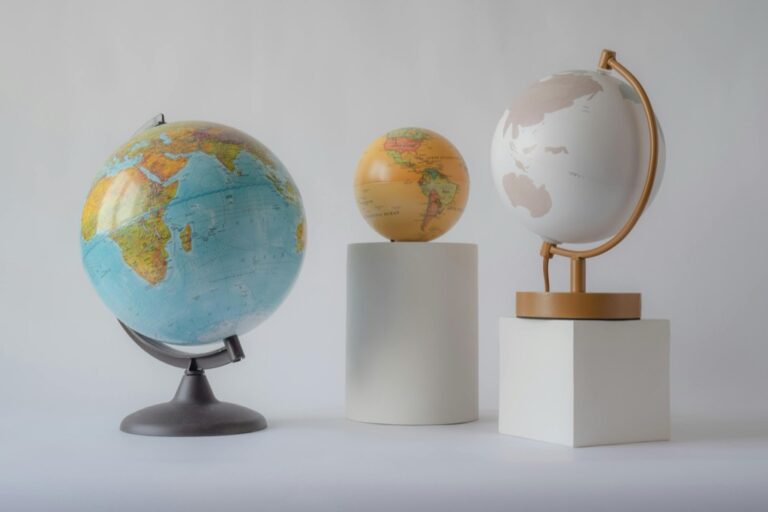
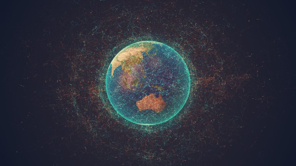
Geography teachers, the days of dusty atlases are over, replaced by a digital revolution transforming geographic education. In this era, immersive learning experiences extend beyond the classroom, enabling students to explore every corner of the planet without leaving their desks. Whether you’re a seasoned educator or new to the field, staying updated on the latest geo-resources, from interactive maps to virtual excursions, is essential for an engaging and interactive journey in the study of our world.
Disclosure: As an Amazon Associate, this site earns from qualifying purchases. Thank you!
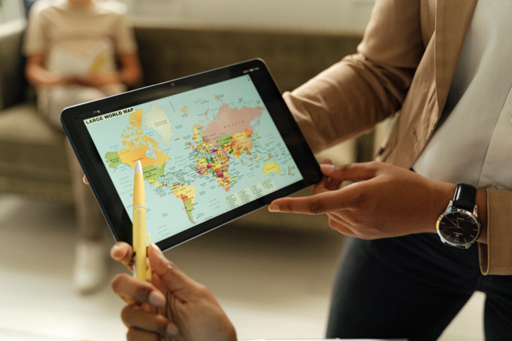
1. Interactive Map Tools Overview
Interactive map tools are the Swiss Army knives of geography education. They’re versatile, powerful, and, frankly, a blast to use. Websites like Google Earth and ArcGIS Online offer students a hands-on approach to exploring the world’s geography. You can zoom from the heights of Mount Everest to the depths of the Mariana Trench with just a click.
P.S. check out Udemy’s GIS, Mapping & Remote Sensing courses on sale here…
These tools aren’t just for show; they’re packed with layers of data that can be toggled on and off to reveal political boundaries, climate patterns, and even real-time weather. They’re perfect for a range of lessons, from basic map-reading skills to complex environmental analysis. And let’s be honest, who doesn’t love spinning a digital globe with the flick of a finger?
In my classroom, I’ve seen students’ eyes light up when they discover the interactive features—like viewing the impact of urban sprawl over time. It’s one thing to read about it, but to see it unfold before your eyes? That’s where the real learning happens.
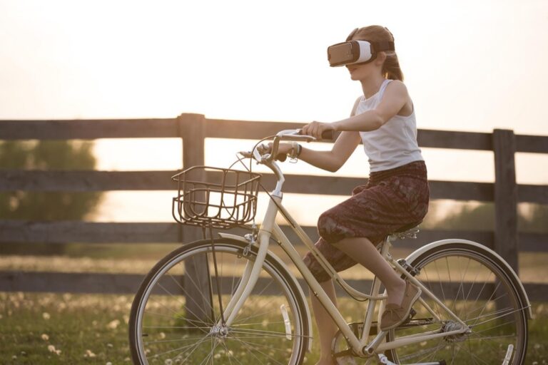
2. Virtual Reality in Geography
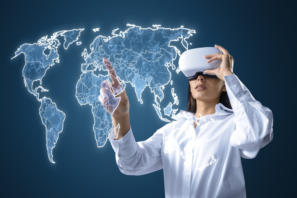
Virtual reality (VR) in geography is like having a magic school bus for field trips. Strap on a headset, and suddenly you’re standing on the Great Wall of China or walking through the Amazon rainforest. It’s immersive, it’s engaging, and it’s as close to the real thing as you can get without a passport.
VR experiences can be transformative, especially for abstract concepts. When students can virtually visit the places they’re studying, it fosters a deeper connection and understanding. Plus, it’s an equalizer, providing access to remote locations that might otherwise be out of reach due to cost or logistics.
I once took my class on a virtual trek through the Himalayas, and the look of awe on their faces was something I’ll never forget. It was as if the mountains had come alive for them. For teachers looking to bring that sense of wonder into their classrooms, VR is a must-have.
3. Augmented Reality Apps

Augmented reality (AR) apps are like the secret sauce that spices up geography lessons. They overlay digital information onto the real world, turning an ordinary classroom into a canvas for exploration. Apps like Google Expeditions allow students to place 3D models of landmarks on their desks or visualize complex geographic data right in front of their eyes.
These apps are more than just cool tech; they’re a bridge connecting students to the physical world in a way that textbooks can’t match. Imagine holding the Earth in the palm of your hand, dissecting it layer by layer—AR makes it possible.
I remember using an AR app to explore tectonic plates with my students, and you could almost feel the ground move under their feet. It’s that level of interactivity that makes AR a game-changer for geography educators.
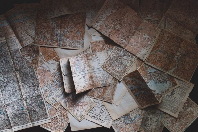
4. Online Geographic Databases
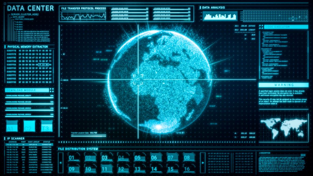
Online geographic databases are the treasure troves of the geography world. They’re filled to the brim with data on everything from demographics to satellite imagery. Resources like NASA’s Earthdata Search and The World Bank’s Open Data provide a wealth of information that’s just a few clicks away.
These databases are invaluable for research projects and data analysis. Students can dive into global issues, track changes over time, and make predictions based on real-world data. It’s an authentic learning experience that mirrors the work of professional geographers.
When my students worked on a project about global water scarcity, these databases were their go-to source. They were able to analyze data sets and create their maps, turning them into mini-experts on the topic. It’s this kind of hands-on learning that sticks.
5. GIS Software for Classrooms
Geographic Information System (GIS) software isn’t just for the pros. Tools like QGIS and Esri’s ArcGIS for Schools bring professional-grade mapping capabilities to the classroom. They allow students to create, analyze, and share their geographic data and maps.
GIS software can be a bit of a learning curve, but once you get the hang of it, the educational possibilities are endless. Students can investigate local environmental issues, plan urban developments, or even track the spread of diseases. It’s a powerful way to teach spatial thinking and data literacy.
I’ll admit, the first time I introduced GIS software into my lesson plan, there were a few hiccups. But once students got the hang of it, they were creating maps that could rival those of any atlas. Trust me, it’s worth the initial effort.
6. Remote Sensing for Educators
Remote sensing is like having a bird’s-eye view of the Earth, and it’s an incredible tool for geography teachers. Satellites capture images and data that can be used to monitor everything from weather patterns to deforestation. Resources like USGS Earth Explorer and NASA’s Worldview provide access to a vast array of satellite imagery.
This technology allows students to observe the planet’s changes in almost real time. They can witness the aftermath of natural disasters, track the retreat of glaciers, or monitor urban growth. It’s about connecting global events to the curriculum in a tangible way.
I’ve used remote sensing images to teach about the impact of climate change, and it’s a powerful visual aid. Seeing the changes from space adds a whole new perspective to the discussion, and it can be a real eye-opener for students.
7. Climate Change Visualization
Climate change visualization tools turn abstract data into something you can see and feel. Websites like Climate Central’s Surging Seas and NASA’s Climate Time Machine show the potential impact of climate change in vivid detail. These tools can illustrate rising sea levels, shrinking ice caps, and increasing global temperatures.
They’re not just scare tactics; they’re conversation starters. When students can visualize the potential future of their cities, it makes the concept of climate change more personal and urgent. It’s a compelling way to encourage critical thinking about environmental stewardship.
In my experience, when students see their hometown affected by virtual rising waters, it sparks a level of engagement that facts and figures alone can’t achieve. It’s about making the global local, and these visualization tools do just that.
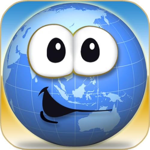
8. Mobile Geography Games
Mobile geography games make learning about the world fun and accessible. Apps like GeoGuessr and Stack the Countries turn geographic knowledge into an addictive challenge. These games can be played on phones or tablets, making them perfect for on-the-go learning or as a classroom reward.
Learn geography with Stack the Countries! This engaging game features 193 country flashcards, interactive maps, and bonus games to help you master world facts. Play in multiple languages and track your progress with personalized profiles.
The competitive element of these games is a great motivator, and they cover a broad range of geographic knowledge. Plus, they’re a hit with students of all ages. Who knew that guessing a location based on street view images could be so thrilling?
I’ve used these games as a quick warm-up activity, and the excitement is palpable. Students are often so engrossed that they don’t even realize they’re learning—and that’s the best kind of education.
9. Leveraging Social Media
Social media isn’t just for selfies and memes; it’s a goldmine for geography teachers. Platforms like Instagram and Twitter are full of accounts that share stunning geographic imagery and facts. Following organizations like National Geographic or The Royal Geographical Society can bring a daily dose of geographic inspiration to your feed.
Using social media in the classroom can connect students to a global community of geography enthusiasts. It’s also a great way to showcase student projects or connect with other educators. Plus, it’s a medium that students are already comfortable with, which can make learning feel more relevant.
I’ve seen students engage with geography topics more eagerly when they’re presented in a format they love. It’s about meeting them where they are and using the tools they value to enrich their education.
The world is at our fingertips, and with these cutting-edge resources, geography teachers have the power to bring it to life like never before. Embrace these tools, and watch as your classroom becomes a gateway to the globe, igniting curiosity and understanding in every student.