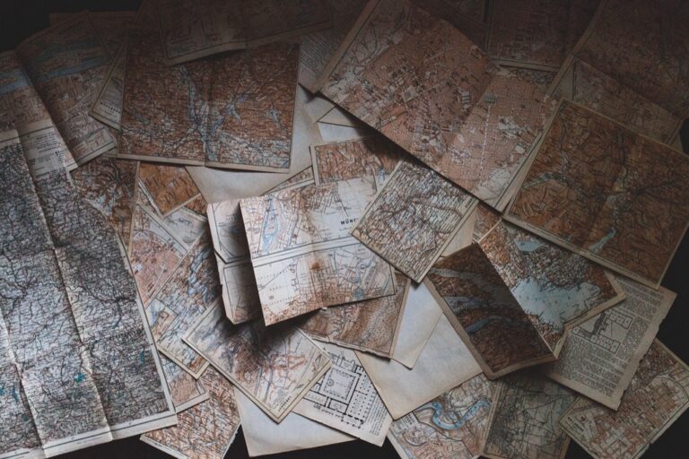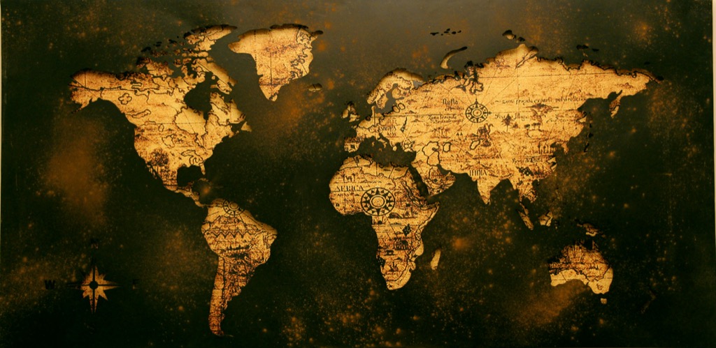
7 Treasures: Exploring a Baroque Period Maps Collection
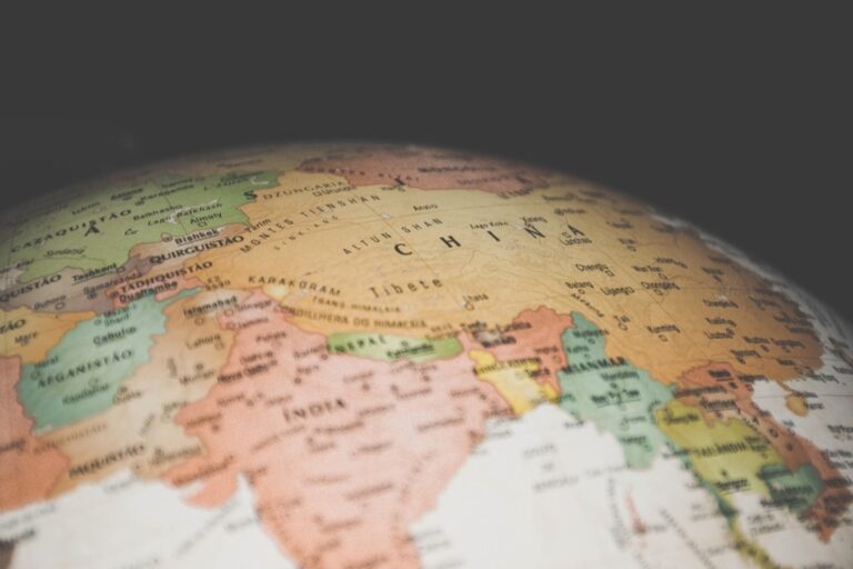
Imagine unfurling a parchment map, its edges worn from the hands of explorers past—this is the allure of Baroque period maps. These cartographic gems are not just navigational tools but storied canvases, teeming with the artistry and ambition of an era that reshaped the world.
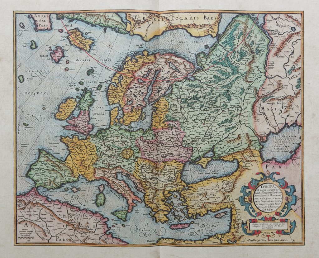
The Baroque period, roughly spanning the 17th century, was a time when maps became as much about grandeur as they were about geography. Cartographers of this era didn’t just chart lands; they infused their work with the opulent style characteristic of the Baroque movement. Their creations became a blend of science and art, capturing the imagination with elaborate ornamentation and bold details.
These maps were more than mere representations; they were statements of power and knowledge, reflecting the cultural and political climates of their time. As a cartography enthusiast, I’ve always been struck by how these maps were as likely to be found in a grand palace as in a ship’s captain’s quarters—testaments to their wide appeal and significance.
The allure of Baroque maps lies not just in their aesthetic but in their ability to capture the zeitgeist of an era when the world was expanding faster than ever before. Each map tells a story, a rich tapestry woven from the threads of discovery, ambition, and the human thirst for understanding.
Disclosure: As an Amazon Associate, this site earns from qualifying purchases. Thank you!
1. The Age of Discovery’s Impact
The Age of Discovery was a seismic shift in global awareness, and Baroque maps are indelible marks of this era. They encapsulate the fervor with which European powers ventured into uncharted waters, driven by the promise of new lands, wealth, and knowledge. This period’s explorers expanded the world as it was known, and their findings were eagerly transcribed onto maps.
As nations raced to claim their stake in newfound territories, maps became critical tools for navigation and territorial claims. They were the ‘Google Earth’ of their day, albeit with a few more dragons embellishing the unknown. The maps not only guided sailors across treacherous seas but also helped shape the geopolitical landscape.
The influence of the Age of Discovery on map-making is undeniable. The maps from this period are not just historical documents but narrators of an age where the world’s size was both a mystery and an enticement—a canvas for the dreams of explorers and monarchs alike.
2. Understanding Map Symbolism
Baroque maps were rife with symbolism—a visual language that spoke volumes to those who knew how to interpret it. Symbolism in these maps went beyond mere decoration; it served to communicate power, ideology, and religious beliefs. For instance, a seemingly innocuous sea monster might represent the dangers of the unknown, or a cornucopia could symbolize the bountiful resources of a land.
Cartographers of the Baroque period often employed allegorical figures like Roman gods and goddesses to imbue their maps with a sense of gravitas and to assert the divine right of kings to their territories. It was as if Neptune himself was giving his nod of approval to a sovereign’s naval prowess.
Understanding the symbolism in Baroque maps is like deciphering a secret code (one that doesn’t require a ring from a cereal box). It’s a fascinating exercise in cultural anthropology, revealing how people of the time viewed the world and their place in it. The maps tell us not only where they went but how they saw themselves in the grand scheme of things.
3. Notable Cartographers of the Era
 Mercator Atlas of 1595” class=”wp-image-647″/>
Own a piece of history with this gallery-wrapped canvas art featuring Mercator's 1595 Map of Tartaria. Giclee printing ensures a high-quality reproduction showcasing detailed landmarks and expeditions.

The Baroque period was something of a ‘rock star’ era for cartographers. These map-makers were the unsung heroes of their time, with names like Blaeu, De Wit, and Mercator still resonating today. Their work laid the foundations for modern geography and left a legacy of maps that are as stunning as they are informative.
Johannes Blaeu was a Dutch cartographer who produced the monumental “Atlas Maior,” a collection that was the Google of its time, minus the instant search results. His maps are a testament to the Dutch Golden Age, a period marked by intense trading and exploration.
Then there’s Frederick de Wit, another Dutchman, whose maps were so detailed and beautifully rendered that you’d half expect them to be hanging in an art gallery (and today, some are). His work is a reminder that there’s an art to science and a science to art.
4. Artistry in Map-Making
Baroque maps were as much works of art as functional tools. The map-makers of the time were artists in their own right, blending cartographic precision with ornate flourishes that could make even the most mundane coastline seem like a scene from an epic poem.
The borders of these maps often featured intricate vignettes depicting local customs, wildlife, and landscapes—a nod to the richness and diversity of the world. It was a way of bringing distant lands to life, providing a glimpse into the exotic and the unknown.
I remember the first time I laid eyes on a Baroque map, its embellishments, and gilded edges catching the light. It was like holding a piece of history in my hands, a snapshot of the world seen through the eyes of someone who truly saw it as a canvas of endless possibilities.
5. The Seven Treasures Unveiled
Now, let’s talk about the main attraction: the Seven Treasures. These aren’t just any old maps; they’re the crème de la crème of Baroque cartography—a collection that would make even the most jaded historian’s heart skip a beat.
Among these treasures, we find the “Nova Totius Terrarum Orbis Geographica Ac Hydrographica Tabula,” a map by Hendrik Hondius that is as much a mouthful to say as it is a feast for the eyes. It’s a stunning example of the period’s global perspective, complete with sea monsters and ships aplenty.
Another gem is the “Planisphaerium Terrestre,” a masterpiece by Matthias Seutter. This map is a baroque banquet of allegorical imagery, with each corner dedicated to the four elements of fire, air, earth, and water. It’s a map that doesn’t just show you the world; it tells you a story about it.
6. Analyzing Map Accuracy
Accuracy wasn’t always the name of the game in Baroque map-making. Let’s just say that some of these maps would have made for some pretty interesting road trips if taken literally. The cartographers did their best with the information they had, but sometimes they had to fill in the blanks with educated guesses (or wild imagination).
That said, when you consider the tools and knowledge available at the time, the accuracy of some Baroque maps is downright impressive. They managed to get a lot right, considering they didn’t have the luxury of satellite imagery or GPS. It’s a testament to their skill and the painstaking effort they put into their craft.
However, it’s important to take these maps with a grain of salt (or maybe a whole salt shaker). They’re not just historical records; they’re historical interpretations—each one a mixture of fact, fiction, and the cartographer’s own biases.
7. Maps as Political Tools
Baroque maps weren’t just about showing where things were; they were also about showing who was in charge. These maps were political statements, and tools of propaganda used to assert dominance, claim territories, and display power. It’s like they were saying, “Look at all the land we ‘discovered’ (never mind that people were already living there).”
The inclusion of elaborate cartouches and coats of arms was a way for monarchs and states to stamp their authority on the world—quite literally. A map could make a bold statement: “This land belongs to us,” even if it was halfway across the world.
It’s fascinating (and a bit cheeky) how maps were used to project power. They were the social media of their day, broadcasting a nation’s status and conquests. It’s a reminder that maps have always been more than just guides; they’re narratives written by the victors.
8. Preservation of Ancient Maps
Preserving Baroque maps is a bit like caring for rare, antique wine—they need just the right conditions to survive. These maps are vulnerable to light, temperature, and humidity, not to mention the occasional coffee spill (a curator’s nightmare).
Thankfully, there are dedicated professionals who work tirelessly to ensure these treasures are around for future generations to admire. Techniques like deacidification, climate-controlled storage, and digital archiving help protect these maps from the ravages of time.
Every time I hear about a restored map, it feels like we’ve snatched a piece of history from the jaws of decay. It’s a delicate dance between preservation and access, but one that’s crucial for keeping our connection to the past alive.
9. Visiting the Collection Today
For those eager to see these Baroque beauties in person, you’re in luck. Many of these maps are on display in museums and libraries around the world, often as part of special exhibitions. It’s a chance to get up close and personal with history—to see the fine lines and vibrant colors that digital images just can’t capture.
Of course, if you can’t make the trip, there’s a wealth of digital archives available at your fingertips. Many institutions have digitized their collections, making these historical treasures accessible to anyone with an internet connection. It’s like having a time machine in your pocket.
Whether in person or online, seeing these maps is a transformative experience. They’re not just paper and ink; they’re windows into the past, inviting us to explore the world as it was once understood. So go ahead, dive in, and let your imagination set sail.
The Baroque period’s maps are more than mere relics; they are vibrant narratives of an age of exploration and expression. As we unfold the delicate parchment of history, we’re reminded that these maps chart more than lands—they chart the human spirit’s boundless curiosity.