6 Key Tasks of 1800s Surveyors Revealed
Dive into the world of 1800s surveyors, the unsung heroes who charted the unknown and laid the groundwork for modern cartography. From mapping vast lands to establishing precise boundaries, let’s unravel the pivotal tasks that shaped their legacy and our understanding of the world.
In the 1800s, surveying was not just a job but an adventurous blend of exploration and science. Surveyors ventured into uncharted territories armed with minimal tools, relying on wit for mapping. Beyond measurement, their role was crucial for creating detailed maps, vital for land ownership, planning, and navigation. Their work served as the backbone for expansion, playing a pivotal role for settlers and governments eager to chart the vast unknown.
Disclosure: As an Amazon Associate, this site earns from qualifying purchases. Thank you!
1. Land Measurement Basics
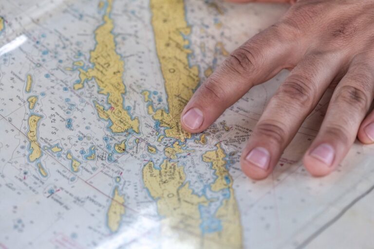
The bread and butter of any surveyor’s day was land measurement. Imagine painstakingly measuring acres of untamed wilderness with a heavy chain and compass, the physicality of the task as demanding as the mental. It was about precision—each link in the chain, each degree on the compass, could mean the difference between a successful plot and a costly mistake.
P.S. check out Udemy’s GIS, Mapping & Remote Sensing courses on sale here…
Surveyors divided the land into parcels, which could then be sold, settled, or developed, essentially shaping the landscapes of towns and cities before they even existed. The accuracy of their measurements laid the foundation for property rights, a cornerstone of the American dream.
2. Boundary Determination
Establishing boundaries was like being a detective with a penchant for trigonometry. Surveyors deciphered natural landmarks, old fences, and faded documents to determine where one person’s land ended and another’s began. This task was fraught with challenges (and sometimes danger), as land disputes were common. The stakes were high; a surveyor’s decision could mean peace or conflict between neighbors. They were the arbiters of the land, and their verdicts are still respected in many rural areas today.
3. Mapping and Charting
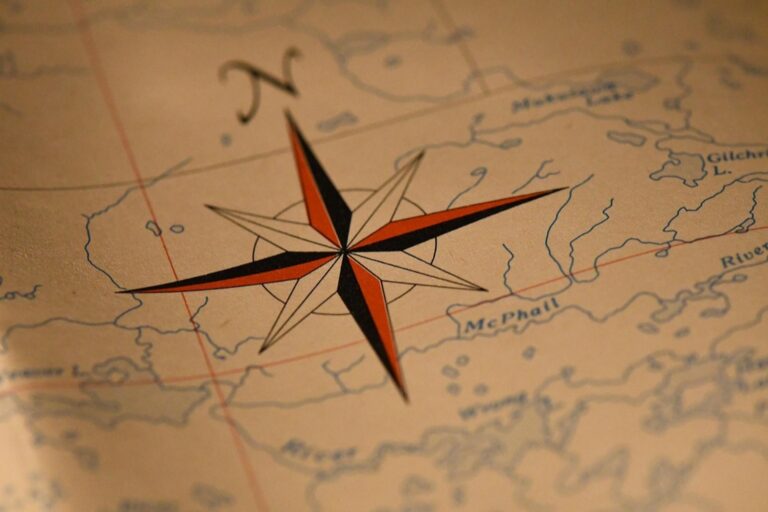
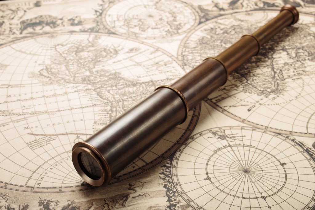 vintage map. Adventure retro style.” class=”wp-image-282″/>
Enhance your space with this 24x36 antique world map poster. Printed in full color on high-quality paper, it ships securely in a protective cardboard tube.

Mapping was the artistry in the science of surveying. After the grueling fieldwork, surveyors hunched over drafting tables, translating their notes and sketches into functional maps often quite beautiful. These maps were the GPS of the 19th century, guiding pioneers and businessmen alike. They weren’t just lines on paper; they represented potential: for travel, trade, and the expansion of a nation. Surveyors of the 1800s quite literally put towns on the map, and their charts remain valuable historical records.
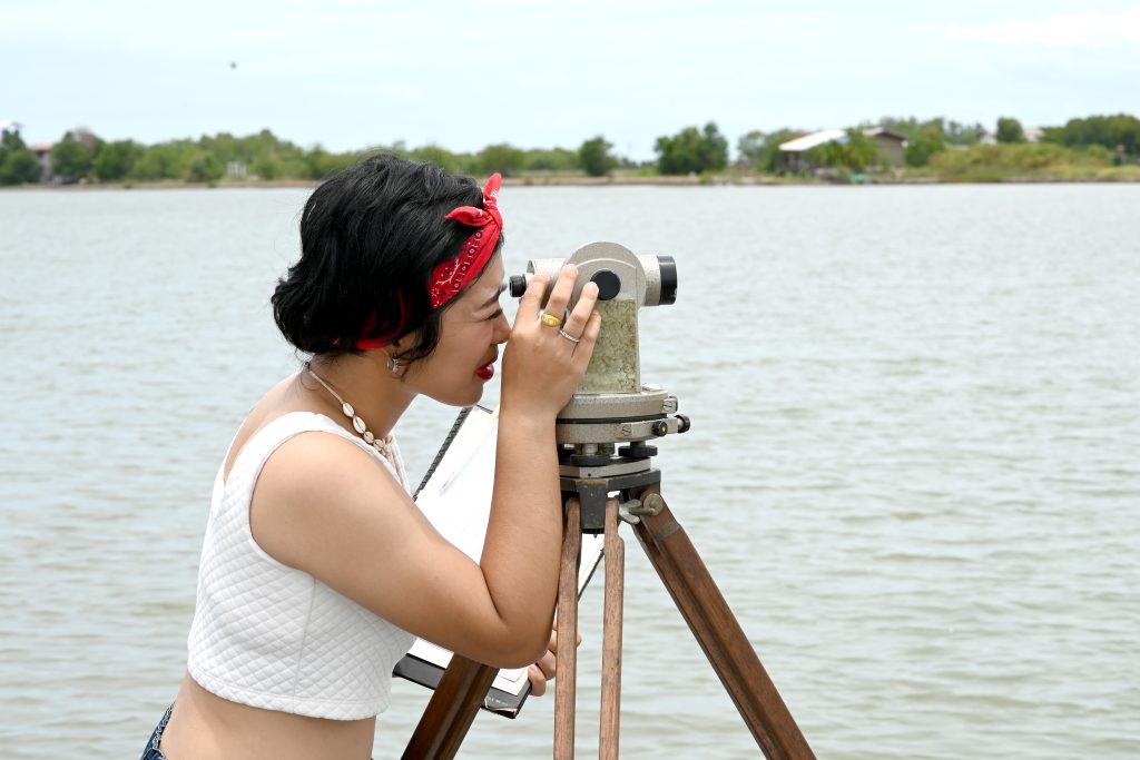
4. Topographic Surveys
Topographic surveys were about capturing the earth’s story, its hills and valleys a narrative waiting to be read. Surveyors would assess the elevation and relief of the terrain, creating a three-dimensional perspective on a two-dimensional plane. This was crucial for understanding drainage patterns, planning roads, or even strategizing in warfare.
They provided a bird’s-eye view before flight was possible, allowing others to visualize landscapes they had never seen. It was like painting with numbers and contours, a skill that required an eye for detail and a mind for the abstract.
5. Construction Site Planning
Before any foundation was laid, surveyors were the first on the scene, setting the stage for construction. They determined the lay of the land and identified any potential issues—from unstable soil to flood-prone areas. Their assessments ensured that the grand buildings of the era were not only aesthetically pleasing but also structurally sound and well-placed. It was a blend of foresight and practicality, ensuring that the infrastructural feats of the 1800s stood the test of time (and they weren’t just winging it).
6. Geodetic Calculations
Geodetic calculations were the brain-busters of the surveying world. Surveyors considered the curvature of the earth when measuring large tracts of land, which required a solid grasp of geometry and astronomy. They were the unsung mathematicians, their calculations allowing for accurate long-distance measurements that are still in use today. It was like solving a giant, spherical puzzle, where each piece had to fit perfectly to maintain the integrity of the whole.
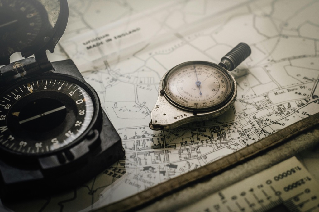
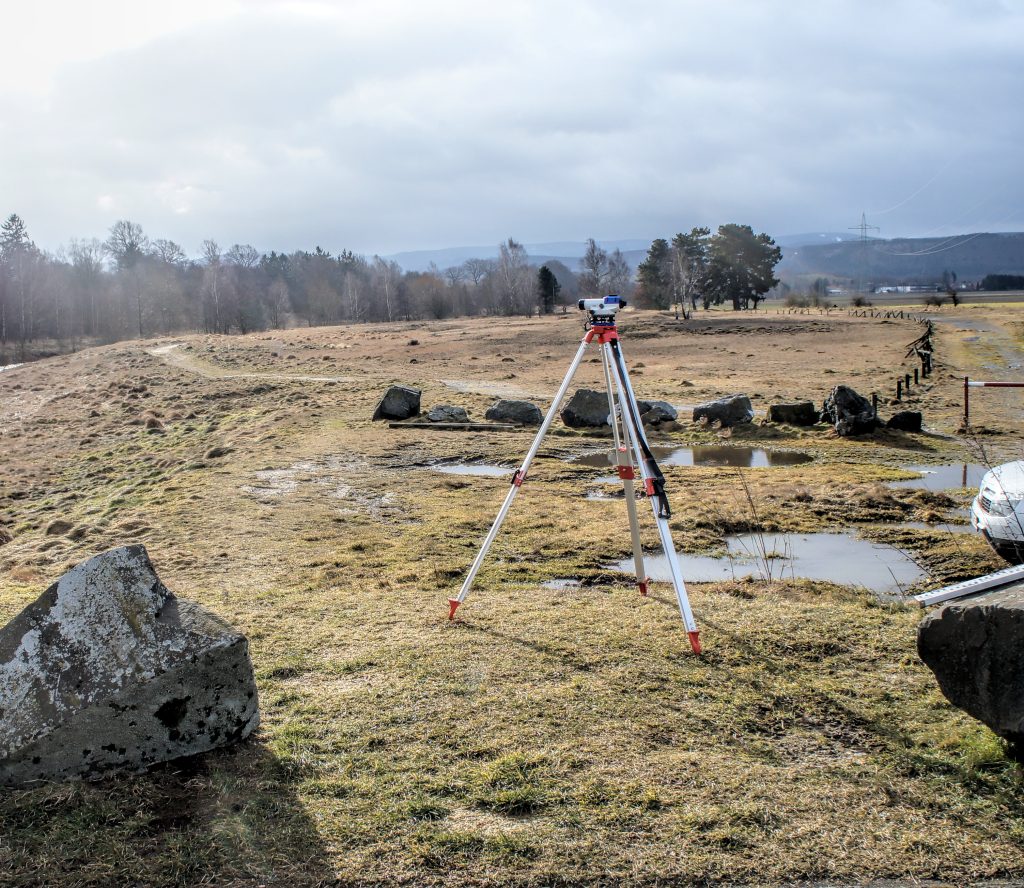
Equipment of the 1800s
The tools of the trade were both rudimentary and remarkable. Theodolites, chains, and compasses were the mainstays, and while they may seem quaint by today’s standards, they were marvels of engineering for their time. A surveyor’s equipment was his best friend—reliable, precise, and often quite heavy. These items were amazing, not just for their craftsmanship but for the sheer ingenuity they represented—analog technology at its finest.

Challenges Faced By Surveyors
The life of a surveyor was no walk in the park (unless, of course, they were surveying one). They grappled with rugged terrain, inclement weather, and the occasional disgruntled landowner. The challenges were as much mental as they were physical—navigating through dense forests, crossing rivers, and enduring long periods of isolation. It was a testament to their resilience and dedication to the craft. And let’s not forget the pesky mosquitoes; those little critters didn’t play favorites.
Impact on Modern Cartography
The legacy of 1800s surveyors is etched into the maps we use today. Their painstaking work laid the foundation for modern geographic information systems (GIS), satellite mapping, and urban planning. They were the original data collectors, and their attention to detail set a standard that remains the benchmark for accuracy. Modern cartography owes a debt of gratitude to these trailblazers—they were the ones who first charted the course for others to follow.
The tasks of 1800s surveyors were as diverse as they were critical, shaping not just the land but the future of mapping and exploration. Their enduring impact is a testament to the importance of their work, a bridge between the wild frontiers of the past and the sophisticated cartographic technologies of today.