8 Must-Have Geography Teaching Resources for Educators
As an educator, you’re always on the lookout for tools that can transform your geography lessons from static dates and facts into a vibrant, living subject. Here’s a treasure map leading to seven essential resources that will energize your teaching and captivate your students.
Geography tools, from basic maps to advanced GIS, guide students through the complexities of physical and human landscapes, helping contextualize global phenomena. It’s not just about knowing locations but understanding origins and future trajectories. Personal anecdotes, like a student connecting trade routes to cultural diversity, highlight the importance of selecting the right tools for teaching concepts, emphasizing that a well-stocked arsenal of maps and digital resources is key.
Effective integration of these tools into lesson plans transforms geography into an exciting journey of discovery, fostering curiosity and encouraging exploration beyond immediate surroundings.
Disclosure: As an Amazon Associate, this site earns from qualifying purchases. Thank you!
P.S. check out Udemy’s GIS, Mapping & Remote Sensing courses on sale here…
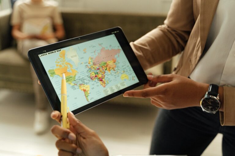
1. Essential Map Collections
Navigate New York City with ease using this highly legible and comprehensive map. Featuring complete street coverage and points of interest, it's perfect for residents and tourists alike.

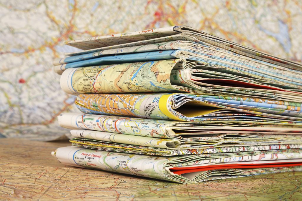
Every geography educator worth their salt knows that a diverse map collection is worth its weight in gold. Maps come in all shapes and sizes: political, physical, topographical, and thematic, each offering a window into different aspects of our world. A wall-sized world map, for instance, can set the stage for a lesson on global interdependence or environmental issues.
One of the best things about map collections is their versatility. A historical map can be a time machine, launching students back to the age of exploration or the shifting borders of empires. And let’s not forget the cool factor of satellite imagery maps that can make students feel like they’re part of a high-stakes spy mission (minus the danger, of course).
While digital maps are incredibly useful, there’s something about the tactile experience of unfolding a large paper map that can’t be replicated on a screen. It’s a hands-on way to travel the world without leaving the classroom, and it teaches students how to navigate using landmarks and scale—a skill that’s becoming rare in the age of GPS.
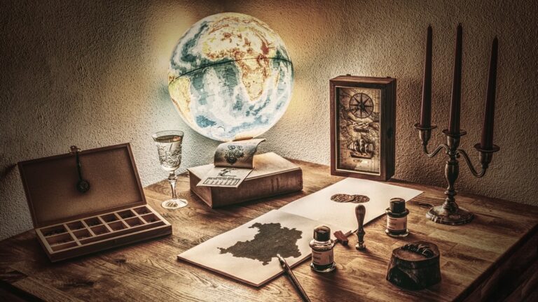
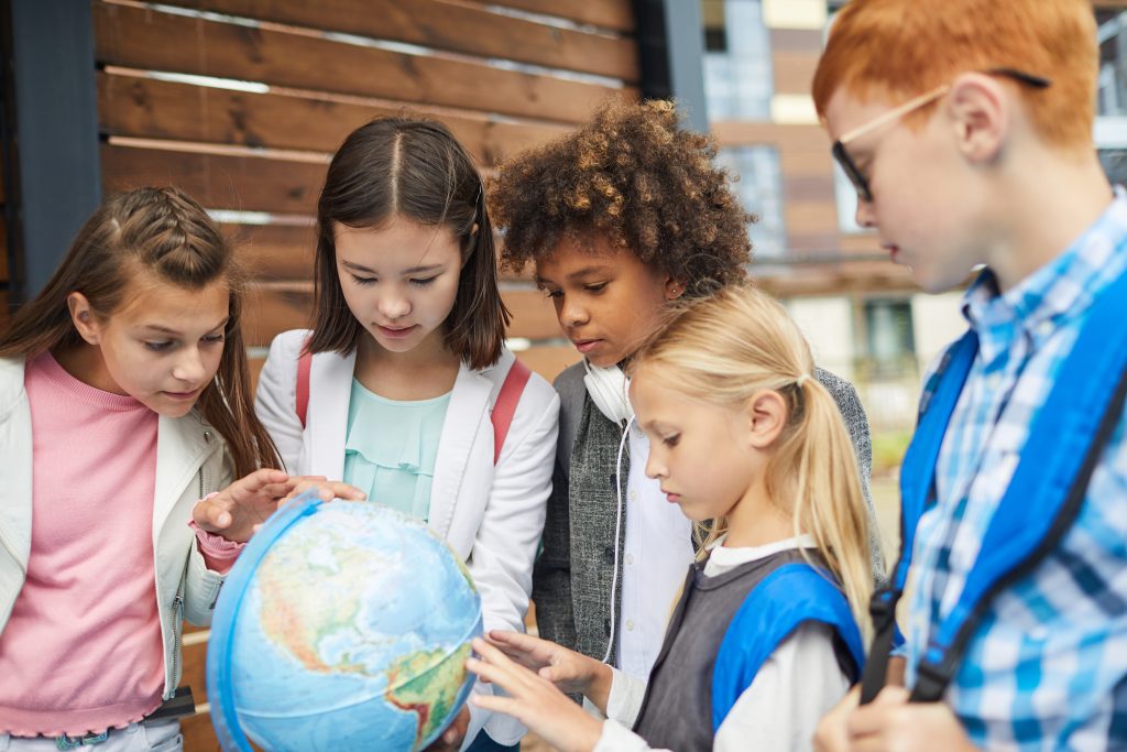
2. Interactive Globes and Atlases
Explore the world with Professor Maxwell's VR Atlas! This interactive kit combines a world atlas with hands-on projects and virtual reality to bring geography, history, and culture to life. Includes VR goggles and materials for engaging activities.

Interactive globes and atlases are like the Swiss Army knives of geography teaching tools—they’re multifunctional and indispensable. With the spin of a globe or the flip of a page, students can explore continents, oceans, and countries, gaining a 3D perspective that flat maps can’t provide. It’s one thing to tell students about the Earth’s tilt and seasons, but it’s another to show them an interactive globe.
Atlases, especially those with thematic maps, are a fantastic resource for engaging students in topics from biodiversity to economic development. With the advent of digital interactive atlases, the experience has become even more immersive, allowing students to zoom in on areas of interest and discover information at their own pace.
Visualize your data effectively with "Thematic Mapping: 101 Inspiring Ways." This guide offers practical techniques for creating compelling thematic maps.

Imagine a classroom where students are huddled around a glowing globe, pointing out the countries they’ve learned about in class. It’s a shared experience that not only educates but also fosters a sense of global community and responsibility. These tools help to shrink the world, making distant places seem more accessible and interconnected.
3. Geographic Information Systems
Geographic Information Systems (GIS) are the high-tech treasure of the geography world. They allow students to visualize and analyze data in ways that are as eye-opening as they are educational. GIS can illustrate everything from population growth to the spread of diseases, making abstract data tangible and, frankly, fascinating.
It’s amazing to watch students engage with GIS technology; they become detectives uncovering the mysteries of the world. They can layer different types of data to see how factors like climate and geography affect human behavior. GIS turns students into informed citizens who understand the complexities of the world’s challenges.
Don’t be intimidated by the complexity of GIS; there are plenty of user-friendly options out there tailored to educational settings. And once you get the hang of it, you’ll wonder how you ever taught geography without it. Trust me, it’s a game-changer.
4. Virtual Field Trip Platforms
Remember when field trips were the highlight of the school year? Well, virtual field trip platforms are taking that excitement to the next level. They allow students to visit far-off places, from the pyramids of Egypt to the Great Barrier Reef, all without leaving their desks. It’s like having a teleportation device in the classroom.
These platforms often come with interactive features such as 360-degree views and guided tours, which make the experience incredibly engaging. Students can explore at their own pace, ask questions, and make connections with the curriculum in real-time. For many students, these virtual excursions can ignite a passion for travel and exploration that lasts a lifetime.
I recall a virtual field trip to Machu Picchu that left my students in awe. They were able to “walk” the ancient pathways and “stand” at the Sun Gate, experiencing the wonder of this historical site in a way that pictures in a textbook never could. Virtual field trips are a powerful way to make history and geography come alive.
5. Weather and Climate Kits
Explore weather science with this kit! It features 20 all-season projects to teach kids about meteorology, including building a cloud in a bottle and measuring temperature with a real thermometer.

Weather and climate kits are the perfect storm of hands-on learning and scientific inquiry. They provide educators with the tools to demonstrate meteorological concepts and the effects of climate change in an interactive way. These kits often include instruments like thermometers, barometers, and anemometers, which students can use to collect real-time data.
Teaching about weather patterns and climate zones becomes a breeze when students can see and measure atmospheric changes for themselves. Plus, these kits often come with experiments and activities that make learning about the Earth’s systems both fun and informative. It’s one thing to talk about high-pressure systems; it’s another to track one using classroom instruments.
I’ve seen students transform into junior meteorologists, eagerly charting weather patterns and making predictions like seasoned pros. These kits not only teach scientific principles but also help students understand the importance of climate science in our daily lives. They’re a crucial resource in fostering an informed and environmentally conscious generation.
6. Demographic Data Resources
Demographic data resources are the unsung heroes of the geography classroom. They provide a wealth of information on population trends, cultural practices, and economic conditions around the world. These resources can range from census data to interactive websites that allow students to visualize demographic changes over time.
This kind of data helps students grasp the human side of geography—the stories behind the statistics. They can analyze how factors like birth rates and migration impact communities and contribute to global patterns. It’s a compelling way to discuss issues like urbanization, aging populations, and cultural diversity.
One of my favorite lessons involved students using demographic data to predict future trends in different countries. It sparked some lively debates and critical thinking about the implications of these trends for society and the environment. Demographic data resources turn numbers into narratives, making them an invaluable tool for educators.
7. Hands-On Topography Models
Explore intelligent scaffolds for tissue engineering and regenerative medicine. This used handbook is in good condition.

Topography models offer a tangible way for students to grasp the ups and downs of physical geography. These models can be as simple as raised-relief maps that students can touch to understand mountain ranges and valleys or as complex as sandbox topography that uses augmented reality to create dynamic landscapes.
Using these models, students can trace the course of rivers, identify watershed areas, and understand how elevation affects climate and vegetation. They provide a 3D aspect that complements flat maps and helps visual learners grasp the intricacies of Earth’s surface. Plus, they’re just plain fun to play with—who doesn’t love building their mountain range?
I remember setting up a topography station in my classroom where students could mold their landscapes out of clay. The hands-on experience not only helped them remember geographic features but also fostered a deeper appreciation for the natural world. Topography models are essential for bringing the contours of the Earth into the classroom.
8. Classroom Geography Games
Learn world geography with The World Game! Identify countries, flags, and capitals while boosting memory skills in this fun, educational card game for 2-5 players ages 8+.

Games are a fantastic way to inject some fun into geography lessons while reinforcing key concepts. Whether it’s a competitive round of geography trivia or a collaborative board game that simulates trade routes, games can make learning stick in a way that lectures sometimes can’t.
Geography games encourage teamwork, critical thinking, and problem-solving, all while teaching about the world. They can range from high-tech digital simulations to simple card games that challenge students to match countries with their capitals or flags. And let’s be honest, who doesn’t love the thrill of victory when you correctly identify that obscure country on the map?
I’ve seen students who were previously disinterested in geography become enthusiastic participants when games were introduced. It’s a testament to the power of play in education. Classroom geography games are a win-win: students enjoy themselves, and educators see the material being absorbed. It’s a no-brainer.
Resource Integration Tips
Integrating these resources into your curriculum can seem daunting, but the payoff is well worth it. Start by identifying the learning objectives for your lesson and then choose the tools that best meet those goals. Don’t be afraid to mix and match—sometimes a globe, a demographic chart, and a virtual field trip can work in concert to provide a comprehensive understanding of a topic.
Remember to provide context for each resource. A map or model is only as good as the story it tells, so guide your students through the narrative you want to build. Encourage questions and allow for exploration; sometimes the most impactful learning moments come from student-led discovery.
And finally, don’t forget to have fun with it. Your enthusiasm will be contagious, and before you know it, your students will be as excited about geography as you are. After all, geography isn’t just about memorizing capitals and countries; it’s about understanding our world and our place within it.
There you have it, a compass rose of resources to guide your geography teaching adventures. With these tools in your educational toolkit, you’re well-equipped to lead your students on an exciting exploration of our world—and who knows, you might just inspire the next generation of geographers and explorers.