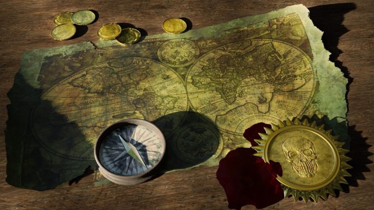
8 Essential Tools for Mastering Geography Studies
Mastering geography isn’t just about memorizing capitals and countries—it’s an adventure across diverse tools that bring the world to your fingertips. Let’s dive into the essential toolkit every geography buff needs to navigate the terrains of this fascinating subject.
The right tools can turn the complex web of geography into a captivating map of knowledge. Imagine trying to solve a puzzle without having all the pieces; that’s studying geography without the proper tools. These essentials range from the traditional, like a sturdy atlas, to the high-tech, such as sophisticated Geographic Information Systems (GIS).
With the proper toolkit, you’re not just reading about places; you’re virtually exploring them. You can analyze data, understand ecosystems, and witness the ebb and flow of human and physical landscapes. It’s a bit like being a detective, with each tool uncovering another layer of our planet’s story.
But it’s not just about the high-tech gadgetry. Sometimes, the most powerful tool is the simplest one—like a notebook for jotting down observations or a field compass for understanding direction. It’s the combination of these tools that equips you to master the art of geography.
P.S. check out Udemy’s GIS, Mapping & Remote Sensing courses on sale here…
Disclosure: As an Amazon Associate, this site earns from qualifying purchases. Thank you!
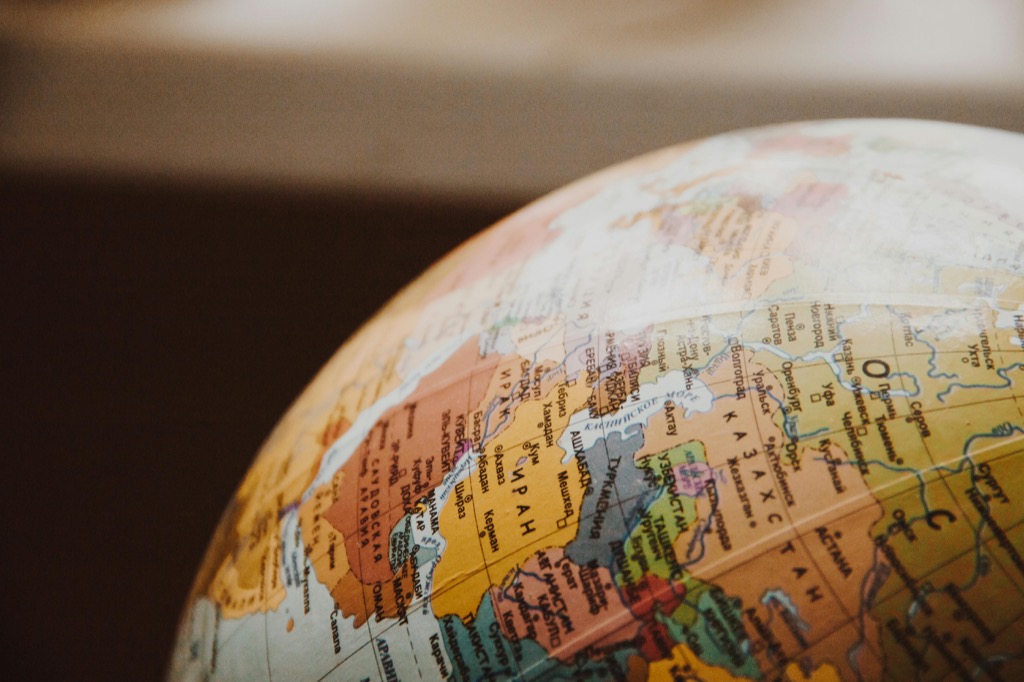
1. World Atlas: A Global Resource
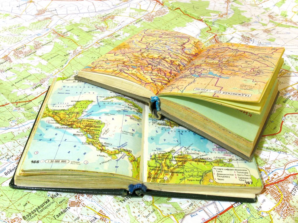
A world atlas is the bread and butter of any geography enthusiast. Flipping through its pages is like embarking on a global expedition without leaving your chair. Each map is a treasure trove of information, detailing physical and political landscapes, climate zones, and demographic data.
But not all atlases are created equal. You want one that’s comprehensive and up-to-date (because let’s face it, geopolitical boundaries can be as fluid as the tides). It should also be visually engaging—because who doesn’t love colorful maps that are as much a feast for the eyes as they are for the mind?
An atlas isn’t just a reference book; it’s a launchpad for curiosity. I remember tracing the Amazon River with my finger as a kid, marveling at its winding journey through South America. That simple act sparked a lifelong passion for exploring the world’s waterways.
2. Mapping Software: Digital Guides
Gone are the days when paper maps were your only guide through the geographical wilderness. Mapping software has revolutionized the way we interact with geography. These digital guides offer layers of data, from street views to topographical details, all at the click of a mouse.
Navigate North America with ease using the Rand McNally 2025 Large Scale Road Atlas. Featuring updated, large-print maps of every U.S. state and Canadian province, plus detailed city and national park insets, it's perfect for any road trip.

Whether you’re a student needing to create a custom map for a project or an armchair traveler wanting to explore the streets of Paris, mapping software is your go-to tool. It’s like having a personal cartographer on your computer, creating maps tailored to your specific interests.
And let’s not forget the convenience factor. With mapping software, you can zoom in on the Himalayas or chart the course of the Nile River without getting up to grab another book from the shelf. It’s geography made easy (and environmentally friendly, no trees harmed in the making of these maps).
3. Geographic Information Systems
GIS is where things get serious. It’s not just mapping; it’s a powerful analytical tool that lets you visualize and interpret data to understand relationships, patterns, and trends. Think of GIS as the Swiss Army knife of geography tools—it does it all.
Professionals use GIS to tackle issues like urban planning, disaster response, and environmental conservation. But it’s not just for the pros. Even as a student or hobbyist, getting familiar with GIS software can open up new dimensions in your geographical studies.
I once used GIS to track deforestation patterns in the Amazon (talk about an eye-opener). It was like watching the forest breathe through decades of satellite imagery—a stark reminder of our impact on the planet.
4. Online Geography Quizzes

Who said studying can’t be fun? Online geography quizzes are the perfect blend of entertainment and education. They’re like a workout for your brain, testing your knowledge of capitals, countries, and continents.
These quizzes come in various formats, from multiple-choice questions to interactive map tests. They’re a great way to reinforce what you’ve learned and discover areas that need a bit more studying (we all have that one country that keeps slipping our minds).
Plus, they’re a hit at parties—challenge your friends to a geography quiz-off and watch as competitive spirits soar. It’s a fun way to learn and a subtle way to flex your geographical prowess (just don’t get too smug when you nail those tricky questions).
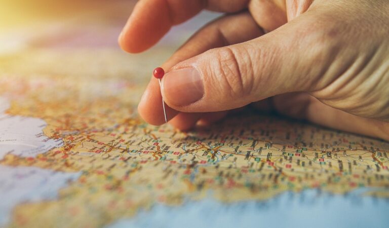
5. Fieldwork Equipment Essentials
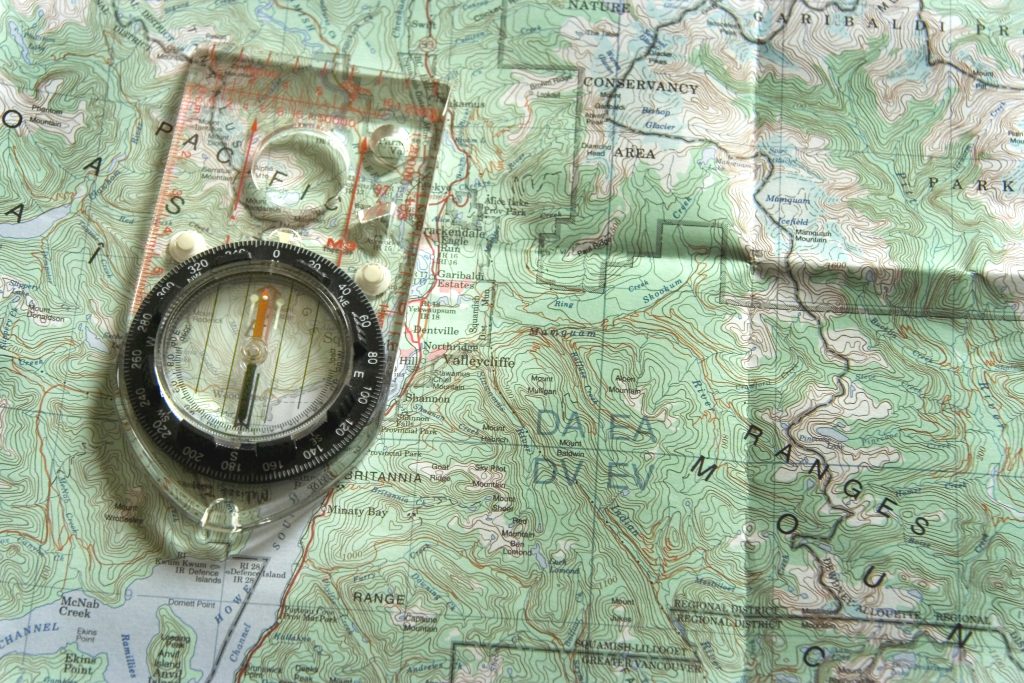
Fieldwork is the heart-pounding, mud-splattering side of geography. It’s where theory meets reality, and for that, you need the right gear. A reliable compass, topographical maps, and a rugged pair of boots are the starting points for any fieldwork adventure.
Explore the Northeast with this detailed National Geographic Adventure Map. Featuring key points of interest, this map is perfect for planning outdoor adventures.

Don’t forget a weatherproof notebook to record your observations (because trying to write on soggy paper is as fruitless as trying to use a chocolate teapot). A good-quality camera or smartphone is essential for capturing the details of the landscape.
Write reliably in any weather with this 4.625" x 7" side-spiral notebook featuring waterproof paper that repels water, sweat, and mud. Its durable Wire-O binding and Polydura cover protect your notes in tough conditions.

Fieldwork isn’t just about collecting data; it’s about experiencing the environment firsthand. I recall standing atop a windswept hill, compass in hand, feeling like an intrepid explorer charting uncharted territories—even though I was just a few miles from home.
6. Note-taking and Journal Apps

In the digital age, paper journals have some competition. Note-taking apps are the modern-day equivalent, offering a convenient way to organize your thoughts and research. They’re the digital lockboxes for your geographical findings.
Apps like Evernote or OneNote allow you to store text, images, and even voice recordings. This is handy for capturing thoughts on the fly or when you’re out in the field without a pen. Plus, with cloud syncing, your notes are accessible from anywhere—be it on a laptop in a café or a tablet in the classroom.
Reflecting on my own experiences, I’ve found that jotting down observations in a digital journal helps solidify my understanding of a place. It’s like creating a personal map of my learning journey, one that I can navigate with a few taps on a screen.
7. Geography Podcasts and Videos
Sometimes, you just want to sit back, relax, and let the knowledge come to you. Geography podcasts and videos are perfect for those moments. They offer an auditory and visual feast that can transport you to different corners of the world.
YouTube channels and podcasts hosted by geography experts provide insights and stories that textbooks can’t match. They’re like having a personal tour guide whispering fascinating facts in your ear (without the need to tip at the end).
And let’s face it, something is mesmerizing about watching drone footage of landscapes or listening to the hidden histories of cities. It’s passive learning that’s as engaging as it is effortless—perfect for a lazy Sunday afternoon.
8. Research Databases and Libraries

The internet is a goldmine of information, but not all that glitters is gold. That’s where research databases and libraries come in—they’re the curated collections of high-quality geography resources. Think of them as the guardians of credible information.
Databases like JSTOR or ScienceDirect provide access to a wealth of academic papers and articles. They’re essential for digging deeper into a topic and finding reliable data for research projects.
And don’t overlook the value of a good old-fashioned library visit. Libraries are treasure troves of geographical works, from classic travel narratives to the latest environmental studies. Plus, librarians are like human search engines, guiding you to the exact resource you need.
Conclusion: Becoming a Geo-Expert
With these tools in your arsenal, mastering geography becomes an exhilarating quest rather than a daunting task. Each tool offers a different lens through which to view the world, and together, they form a comprehensive picture of our planet’s intricate tapestry.
Embrace these tools with enthusiasm, and watch as the world unfolds before you. With dedication and curiosity as your guides, there’s no limit to the geographical wonders you can explore. So go ahead and chart your course to becoming a geo-expert—the adventure is just beginning.
The journey through geography is a never-ending exploration, and with these seven essential tools, you’re well-equipped for the adventure. Let your passion for the subject be your compass, and you’ll discover that every map, every dataset, and every field trip is a step towards a greater understanding of our world.