Key Milestones in US Surveying History
Let’s dive into the fascinating world of U.S. surveying, where every line drawn and boundary set tells a story of exploration, conflict, and innovation. From the days of colonial claims to the era of GPS precision, these milestones have not only shaped the map but also the nation itself.
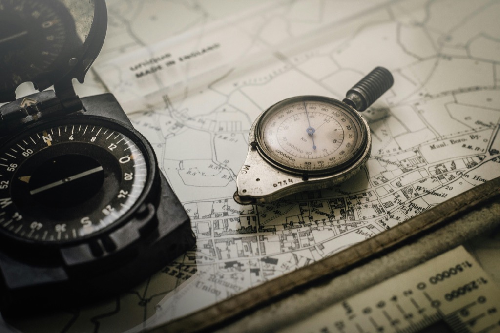
U.S. surveying, pivotal in the nation’s development, started with tape measures and compasses, evolving into today’s satellite technology. Surveyors, often unsung heroes, risked much to map the frontier, enabling city building and resource allocation. The history, a quilt of innovation, reveals a nation’s growth from border establishment to homestead allocation, acknowledging both remarkable achievements and the displacement of original inhabitants.
Get accurate measurements quickly with this CRAFTSMAN 25-ft tape measure. It features easy-to-read fraction markings and a comfortable, secure grip.

Disclosure: As an Amazon Associate, this site earns from qualifying purchases. Thank you!
The Mason-Dixon Line: 1763-1767
The Mason-Dixon Line is more than a boundary; it’s a symbol of the cultural divide between the Northern and Southern United States. Surveyed by Charles Mason and Jeremiah Dixon between 1763 and 1767, this line was originally intended to resolve a territorial dispute between the British colonies of Maryland and Pennsylvania. It was a feat of surveying, involving astronomical observations and the laying of stones imported from England.
Imagine trudging through uncharted forests and over mountains, all while lugging heavy equipment. Mason and Dixon did just that, and their work would inadvertently become a demarcation line between free and slave states leading up to the Civil War. Their precision was unparalleled for the time, and their line stood as a testament to their skill and determination.
This line has become etched into the American consciousness, a reminder of a divided past and a complex legacy. It’s a prime example of how surveying has not just mapped physical space, but also social and political landscapes. (And let’s not forget the countless confused high school students who’ve tried to draw it on a map for history class!)
The Public Land Survey System
The Public Land Survey System (PLSS) was a revolutionary way to divvy up the vast American West for settlement and sale. Initiated by the Land Ordinance of 1785, it created a grid system that’s still in use today, dividing land into townships and sections. This system was crucial for the orderly distribution of land, and frankly, it made the wild West a little less wild.
The PLSS was the brainchild of Thomas Jefferson, who believed in a nation of small landowners. The system was democratic in its simplicity, allowing for an organized and egalitarian method of land ownership. It turned the chaos of frontier land claims into a neatly organized checkerboard that stretched across the plains and mountains.
Surveyors, armed with nothing more than a compass and chain, braved the elements to lay out townships and sections. Their work set the stage for the settlement patterns we see today, and their grid lines are etched onto the landscape like the wrinkles on an old rancher’s face. The PLSS is a testament to the power of a good plan and a straight line.
Lewis and Clark Expedition: 1804-1806
The Lewis and Clark Expedition was a journey into the heart of the unknown. Commissioned by President Jefferson following the Louisiana Purchase, this undertaking had Meriwether Lewis and William Clark mapping the newly acquired territory to the Pacific Ocean. Their work was the stuff of legend, filling in vast blanks on the U.S. map.
Armed with a sextant, a compass, and a small arsenal of other surveying tools, Lewis and Clark charted rivers, mountains, and passes. They traversed landscapes no American had surveyed before, encountering Native American tribes and documenting flora and fauna along the way. Their maps and journals provided invaluable information for future settlers and explorers.
The expedition was like a reality show with a bit more at stake (and no commercial breaks). It was a tale of survival, diplomacy, and discovery that expanded the nation’s horizons—both literally and figuratively. Thanks to Lewis and Clark, the West was no longer a vast, undefined space; it was a place of opportunity and adventure.
The Homestead Act of 1862
The Homestead Act of 1862 was a game-changer for American expansion, allowing any adult citizen to claim 160 acres of public land. All they had to do was improve the land with a dwelling and cultivation. This piece of legislation was a surveyor’s bread and butter, leading to a surge in demand for their services to mark the boundaries of these new homesteads.
This act was like the ultimate Black Friday deal (but with more sweat and less shopping). It promised the American dream of land ownership to those willing to brave the frontier. The act led to the settlement of 270 million acres—talk about a real estate boom!
Surveyors played a critical role in the success of the Homestead Act, ensuring that claims were accurately staked and disputes were minimized. Their precision and integrity were the foundation upon which the American West was built. Without them, the West might have been as disorderly as a barn dance on roller skates.
Creation of the USGS: 1879
The United States Geological Survey (USGS) was established in 1879, and it was like hiring a team of super-surveyors to map the entire country. This federal agency was tasked with studying the landscape and natural resources of the U.S., and its creation marked a pivotal moment in the professionalization and standardization of surveying practices.
The USGS brought science to the forefront of surveying. It wasn’t just about measuring land anymore; it was about understanding it. The agency produced detailed topographic maps and studied everything from mineral resources to water supply, becoming an invaluable resource for government, industry, and the public.
The impact of the USGS can’t be overstated. Its work has informed decisions on land use, resource management, and environmental protection. The maps and data produced by the USGS are like the Rosetta Stone for anyone trying to decipher the complexities of the American landscape.
Adoption of the Transcontinental Triangulation
The adoption of the Transcontinental Triangulation was a monumental step in the accuracy of U.S. surveying. This method used a chain of triangles extending across the country to determine precise geographical locations. It was like connecting the dots, but instead of a simple picture, surveyors revealed the intricate contours of the nation.
Transcontinental Triangulation was a mammoth task, requiring the erection of monuments and the use of theodolites to measure angles between points over vast distances. It brought a level of precision to mapping that was previously unattainable. Imagine trying to measure the width of a country with a ruler—this was the high-tech version.

The results of this effort were groundbreaking, providing a framework for all future surveys. It was the equivalent of setting the stage before the big performance, ensuring that every subsequent act was spot-on. This triangulation laid the groundwork for a more interconnected and accurately represented America.
The Space Age and Satellite Mapping
When the Space Age dawned, surveying was launched into a whole new orbit. Satellites equipped with cameras and sensors began to map the Earth’s surface from space, providing a bird’s-eye view that was once the stuff of dreams. It was like giving surveyors superpowers, allowing them to see beyond the horizon and into the heart of remote areas.
Satellite mapping revolutionized the way we collect geographical data, making it possible to update maps quickly and with incredible detail. It’s like having a constantly refreshed canvas of the Earth, with every stroke of change captured in real time. These advancements have been critical for environmental monitoring, urban planning, and disaster response.
The imagery and data from satellites tell a story that ground surveys alone could never fully capture. It’s as if we’ve been given a key to unlock the mysteries of our planet’s surface, from the melting ice caps to the sprawling cityscapes. Satellite mapping is a testament to human ingenuity and our insatiable curiosity to chart our world.
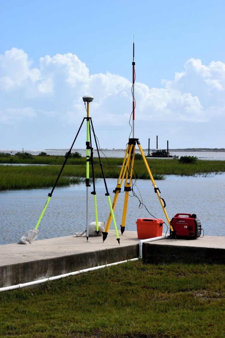
GPS Revolution: 1978 Onwards
The Global Positioning System (GPS) turned the surveying world on its head starting in 1978. This constellation of satellites provides pinpoint accuracy for location data, and it’s as revolutionary as swapping out a horse and buggy for a sports car. With GPS, surveyors could suddenly measure positions with an accuracy of centimeters, not feet.
The advent of GPS technology meant faster, more reliable, and more accessible surveying. It’s like having a magic wand for location-finding—wave it around, and presto, you’ve got your spot on the globe. This technology has become so ubiquitous that it’s hard to imagine a world without it, from navigating road trips to finding lost phones.
GPS has not only transformed surveying but also permeated everyday life. It’s a prime example of a military technology that found its way into civilian hands, changing the way we all interact with space and time. Surveyors today can accomplish in minutes what once took days, thanks to this celestial symphony of satellites.
Modern Surveying and Future Outlook
Today, surveying is a high-tech field that combines the old-school knowledge of geometry and cartography with cutting-edge technology like drones and 3D laser scanning. It’s not just about the land anymore; it’s about data and how we use it to shape the world around us. Surveyors are now as likely to be piloting drones as they are to be pounding stakes into the ground.
The future of surveying is as wide open as the landscapes it measures. With advancements in autonomous vehicles, smart cities, and augmented reality, surveyors will play a pivotal role in the next chapter of human habitation. It’s a field that’s constantly pushing the boundaries—literally and figuratively.
As we look to the horizon, the role of surveyors remains critical. They are the gatekeepers of accuracy, the architects of the invisible lines that define our world. The future may bring challenges, but with a profession built on precision and adaptability, surveying will continue to chart the course of progress.
From the Mason-Dixon Line to the marvels of GPS, the journey of U.S. surveying is a chronicle of human tenacity and technological triumph. As we plot the points of our past, we sketch the map of our future—a future that, thanks to surveyors, will be measured with the utmost precision and care.