Skip to content
Map Library
About
Design
Tools
Resources
Practice
More!
Expand
Applications
Fundamentals
Methods
Map Library
Toggle Menu
Digital Tools
10 Best Cartographic Projection Tools
10 Best Mapping Software for Terrain Visualization
10 Best Digital Art Software for Map Creation to Enhance Visual Impact
10 Best Coordinate Reference System Libraries for Cartography That Improve Precision
10 Best Drawing Tools for Maps
10 Best LiDAR Data Processing Software for Terrain Mapping That Improve Precision
12 Best Remote Sensing Tools for Accurate Terrain Mapping That Improve Precision
10 Best Mapping Plugins for Adobe Illustrator That Enhance Readability
10 Best Base Map Collections for Accurate Contextual Mapping That Enhance Readability
10 Best Lidar Processing Software for Elevation Mapping to Enhance Precision
10 Best Historical Map Overlays for GIS Analysis to Reveal Hidden Patterns
10 Best Cloud Storage Options for Data Backup
10 Best 3D Mapping Software for Coordinate Visualization That Enhance Readability
10 Best Data Collection Apps for Field Mapping to Improve Precision
10 Best Basemaps for Contextualizing Geospatial Data to Enhance Readability
10 Best Land Use Mapping Software for Development Planning That Enhance Efficiency
10 Best Vectorization Tools for Scanned Maps to Enhance Readability
10 Best APIs for Integrating Mapping Functionalities That Enhance User Experience
10 Best Aerial Imagery Sources for Accurate Land Use Mapping That Enhance Precision
10 Best 3D Printing Materials for Models
10 Best Map Annotation Tools for Adding Context That Enhance Clarity
10 Best Legend Generators for Map Clarity That Enhance Readability
12 Best Physical Map Tools for Precise Scaling to Improve Accuracy
10 Best Customizable Mapping Platforms for Diverse Needs That Enhance Projects
10 Best Shapefile Editors for Custom Map Creation That Enhance Readability
10 Best Workflow Management Software for Project Management
10 Best Thematic Mapping Software for Data Representation That Reveal Hidden Patterns
10 Best 3D Visualization Software for Terrain Mapping to Improve Precision
10 Best Map Editing Apps for Quick Adjustments to Enhance Readability
10 Best Mapping Simulators for Educational Purposes to Enhance Learning
10 Best Map Publishing Platforms
12 Best Map Export Solutions for Print and Digital Use That Enhance Clarity
12 Best Raster Editing Software for Satellite Data
10 Best Map Color Contrast Tools for Accessibility to Enhance Readability
10 Best Map Analytics Tools for Geographic Insights That Unlock Spatial Data
10 Best Historical Map Software for Research Projects That Improve Precision
10 Best Image Processing Software for Enhancing Map Clarity That Experts Use
10 Best Digital Mapping Applications for Archaeologists to Unlock Spatial Data
11 Best Online Tools for Converting Map Coordinates That Enhance Accuracy
10 Best Portable Mapping Devices for Field Work That Improve Precision
10 Best Cartography Software for Data Visualization
10 Best Online Mapping Courses for Professional Development That Advance Your Skills
10 Best Interactive Maps for Accessibility
10 Best User-Friendly Mapping Software for Beginners to Enhance Readability
10 Best Online Map Hosting Services
10 Best Elevation Modeling Tools for 3D Terrain Maps That Enhance Visualization
10 Best Map Projection Software for Accurate Geographical Representation
10 Best Open Source Mapping Libraries for Developers to Unlock Spatial Data
10 Best Interactive Mapping Solutions for Community Engagement That Transform Participation
10 Best Coloring Tools for Illustrating Historical Maps That Enhance Detail
10 Best Map Styling Tools for Archaeology
10 Best Web Mapping Services for Interactive Map Development That Engage Users
10 Best Map-Sharing Platforms for Collaborative Projects to Enhance Success
10 Best Map Rendering Software for Cartography
12 Best Remote Sensing Software for Accurate Land Use Mapping That Improve Precision
10 Best Vector Graphics Programs for Cartography
10 Best Illustration Tools for Maps
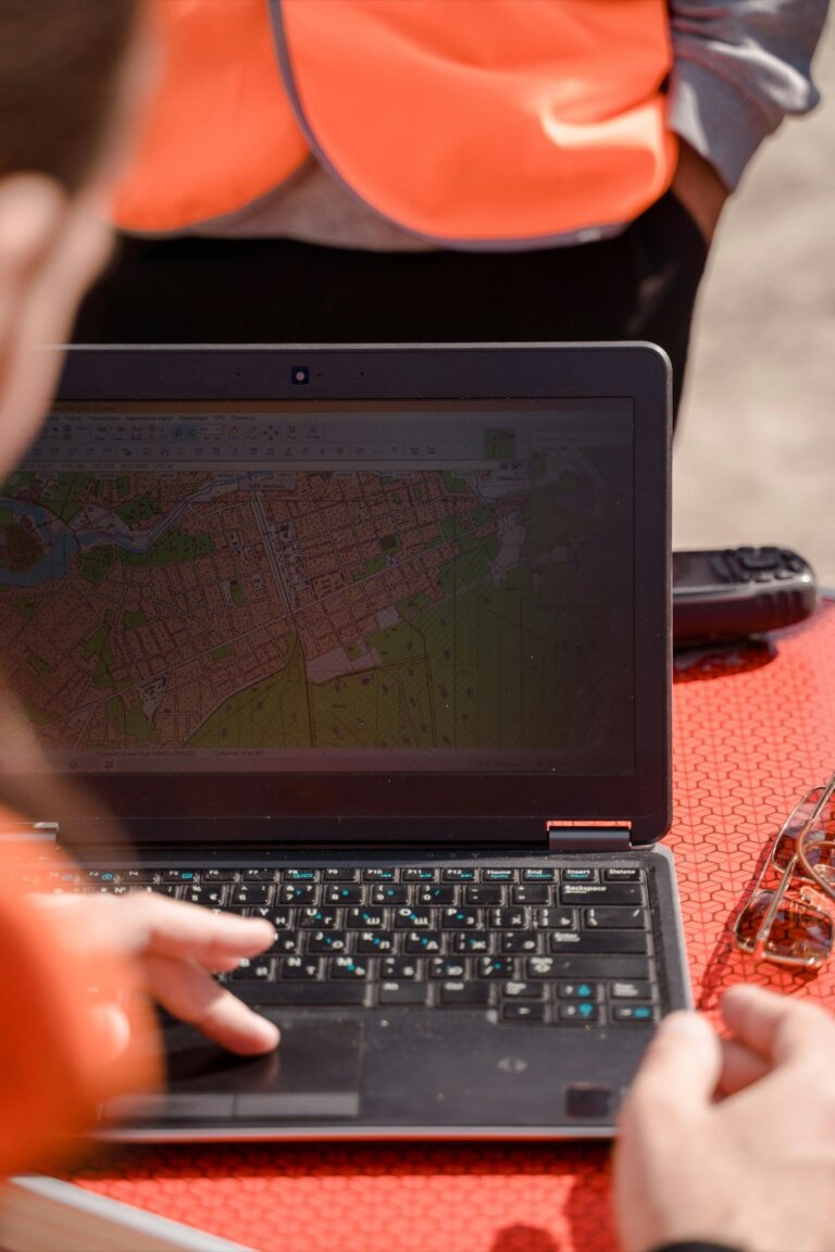
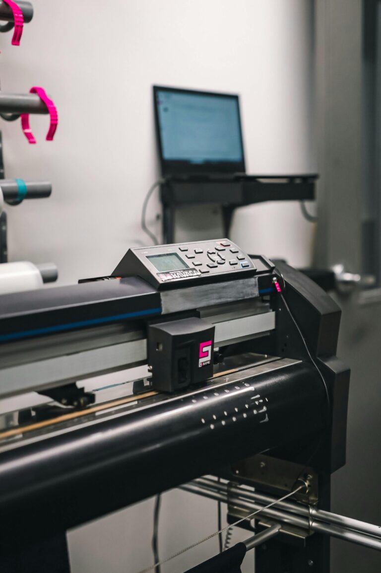
10 Best Plotters for Large-Format Map Printing to Improve Precision
10 Best Software for 3D Map Modeling That Transform Digital Maps
10 Best Map Design Tools
8 Ways GIS Has Revolutionized Society
8 Ways Modern Cartographers Are Mapping the Future
7 Trends Shaping Modern Cartography Today
6 Ways to Open GIS Files in Illustrator Easily
9 Cutting-Edge Resources for Geography Teachers
8 Essential Tools for Mastering Geography Studies
5 Cutting-Edge Surveying Technologies Explained
Introducing Map Library!
Page navigation
Previous Page
Previous
1
2
3
4
About
Design
Tools
Resources
Practice
More!
Toggle child menu
Expand
Applications
Fundamentals
Methods